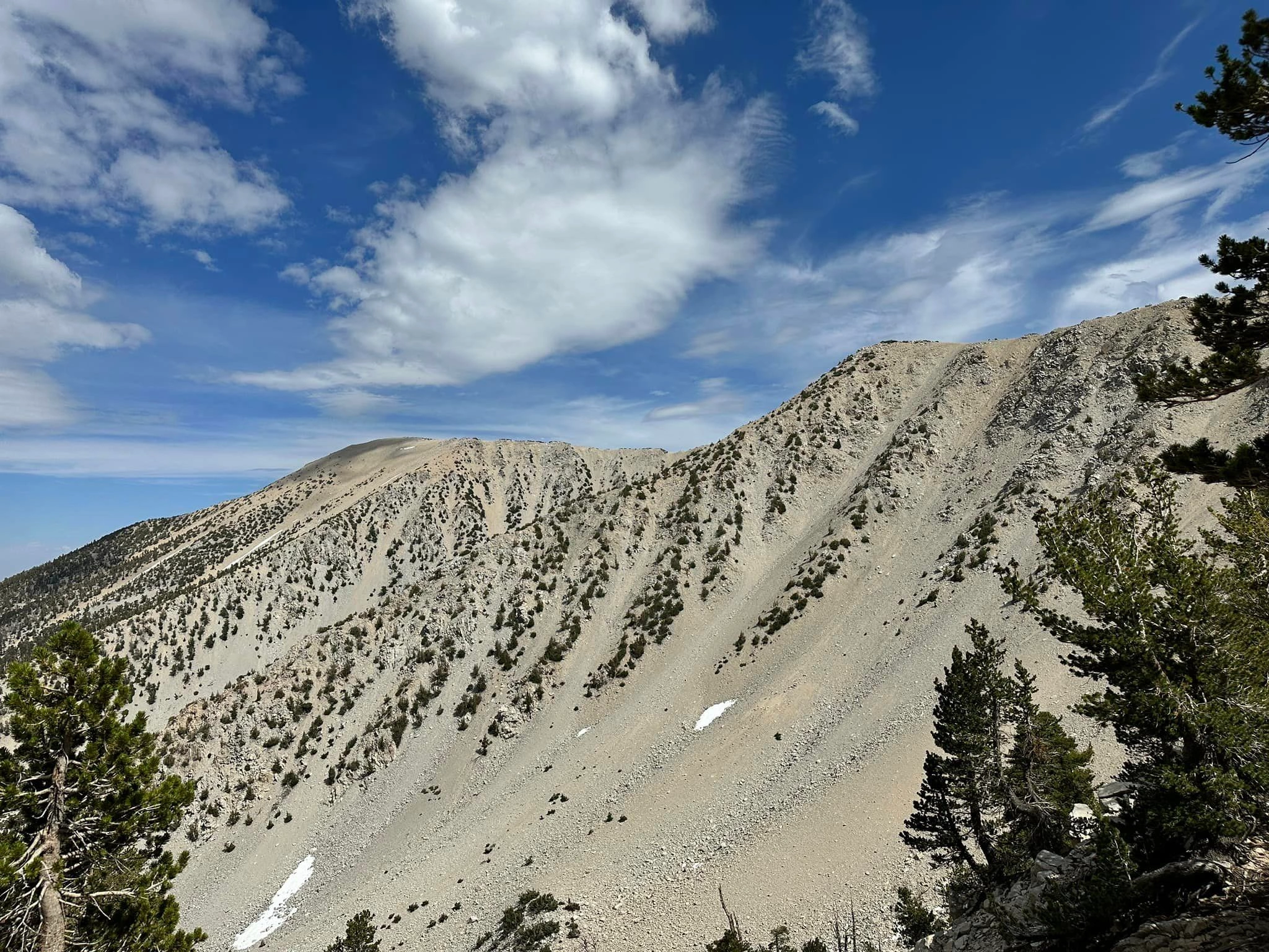
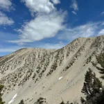
Dragons Head and Bighorn, photo by Sunny Yi
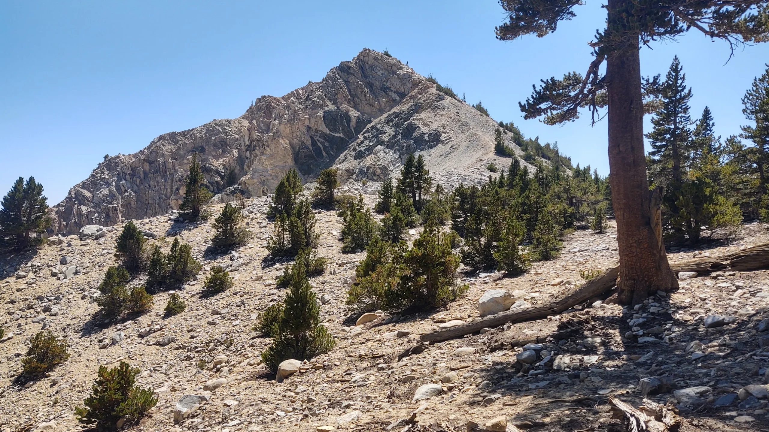
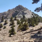
Dragonshead, photo by Steve Russell
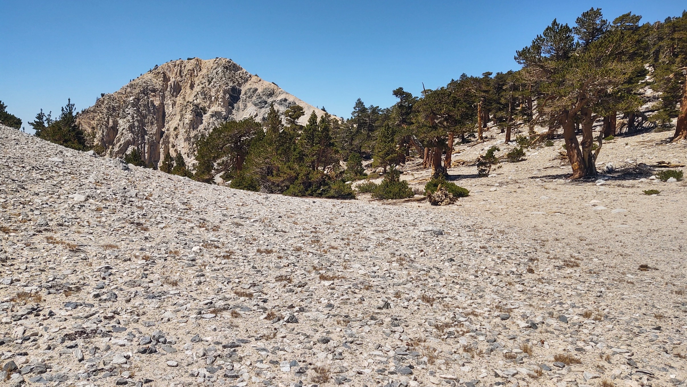
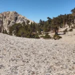
Dragonshead, photo by Steve Russell
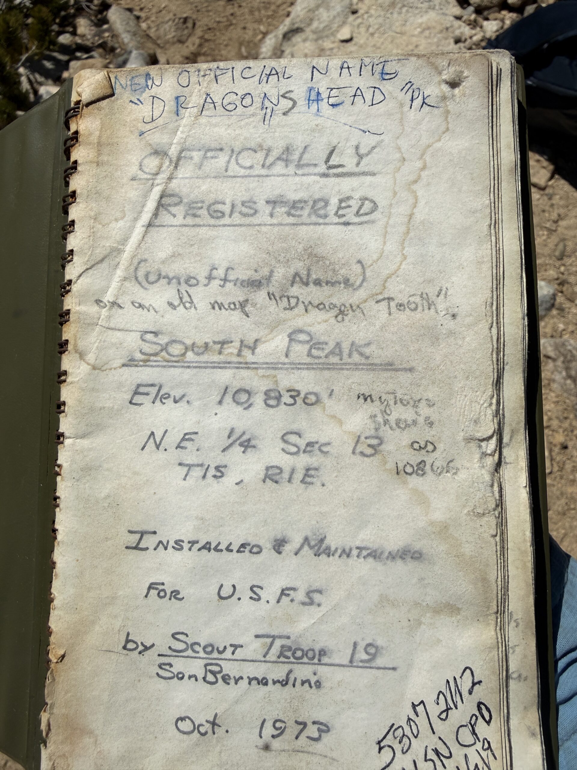
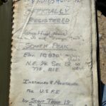
Dragons Head - Original peak register, placed on what was then called “South Peak”, by San Bernardino Boy Scout Troop 19, in 1973
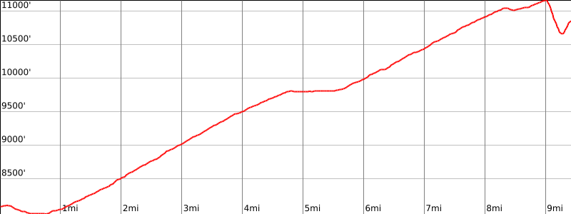

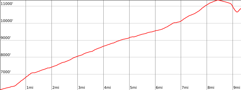

Peakbagger.com

Nearest ranger station

NOAA Forecast

Google Earth


