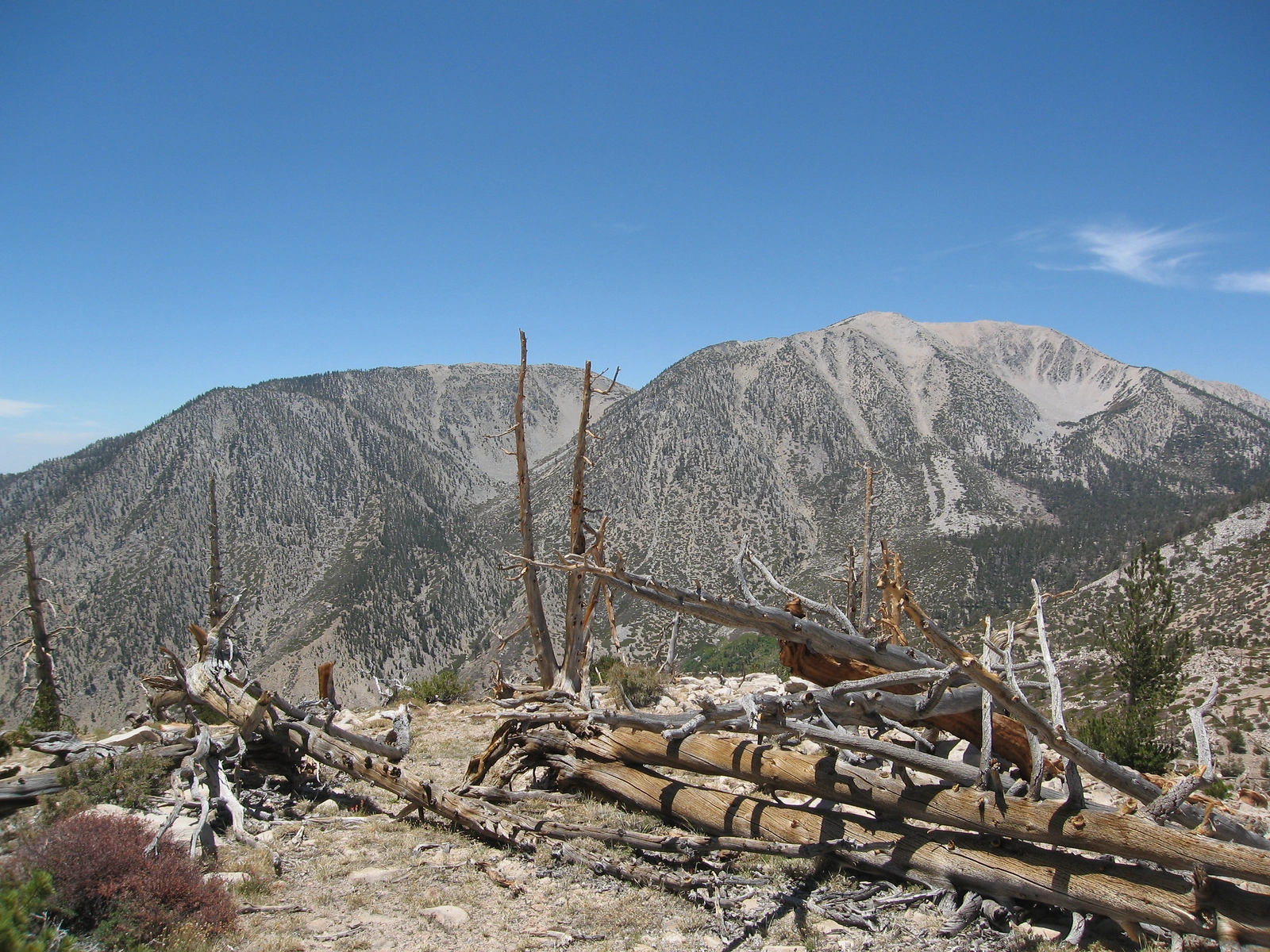
Bighorn Mountain and San Gorgonio, photo by Kathy Wing

Bighorn, San Gorgonio, Grinnel and Charlton with snow, taken from Onyx, photo by Sharon Moore
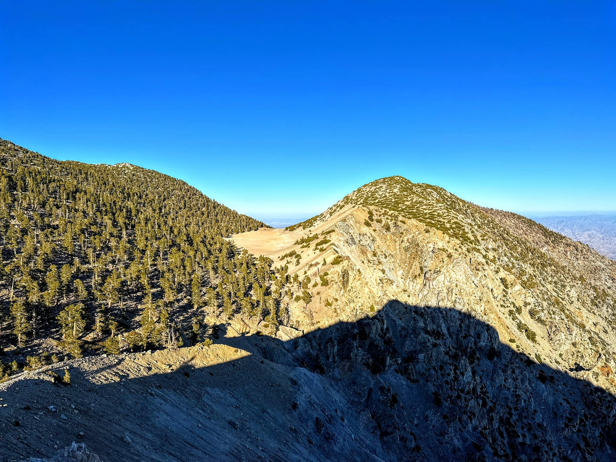
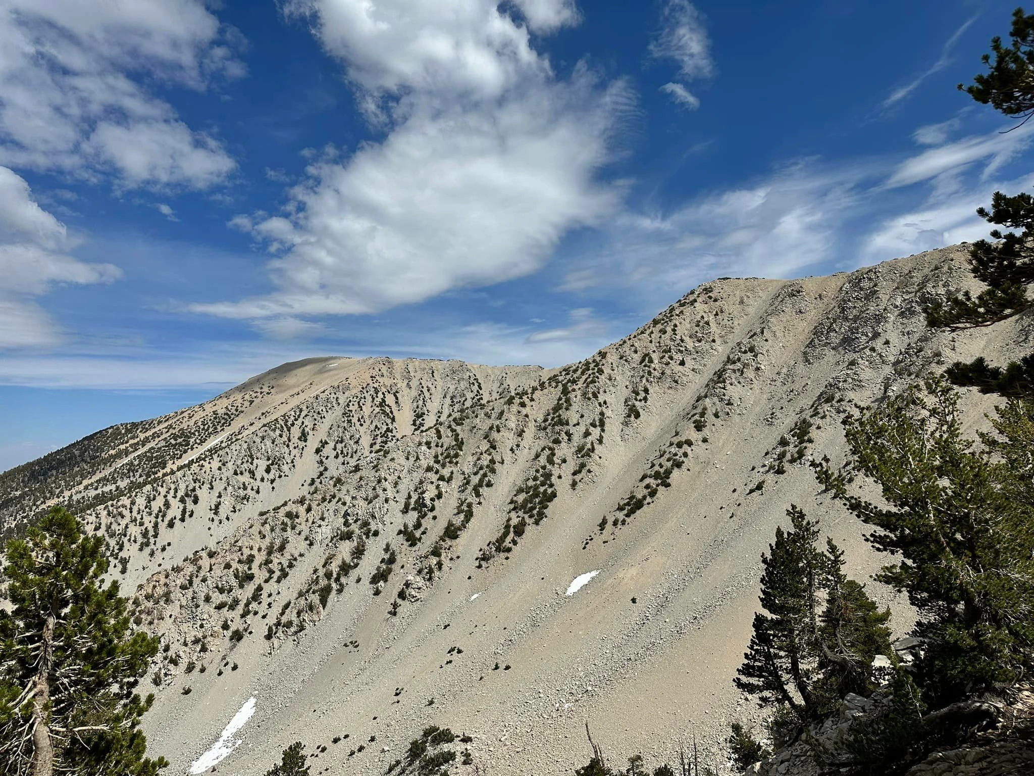
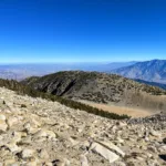
Bighorn, taken from Dragonhead, photo by Sunny Yi
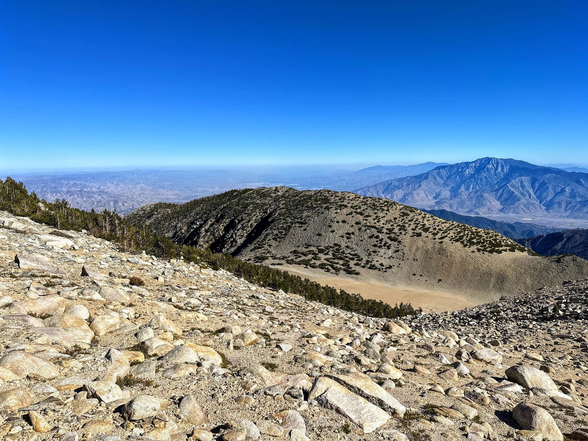
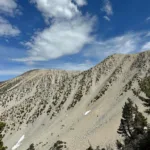
Bighorn, taken from Gorgonio, photo by Sunny Yi
Bighorn, photo by Steve Russell
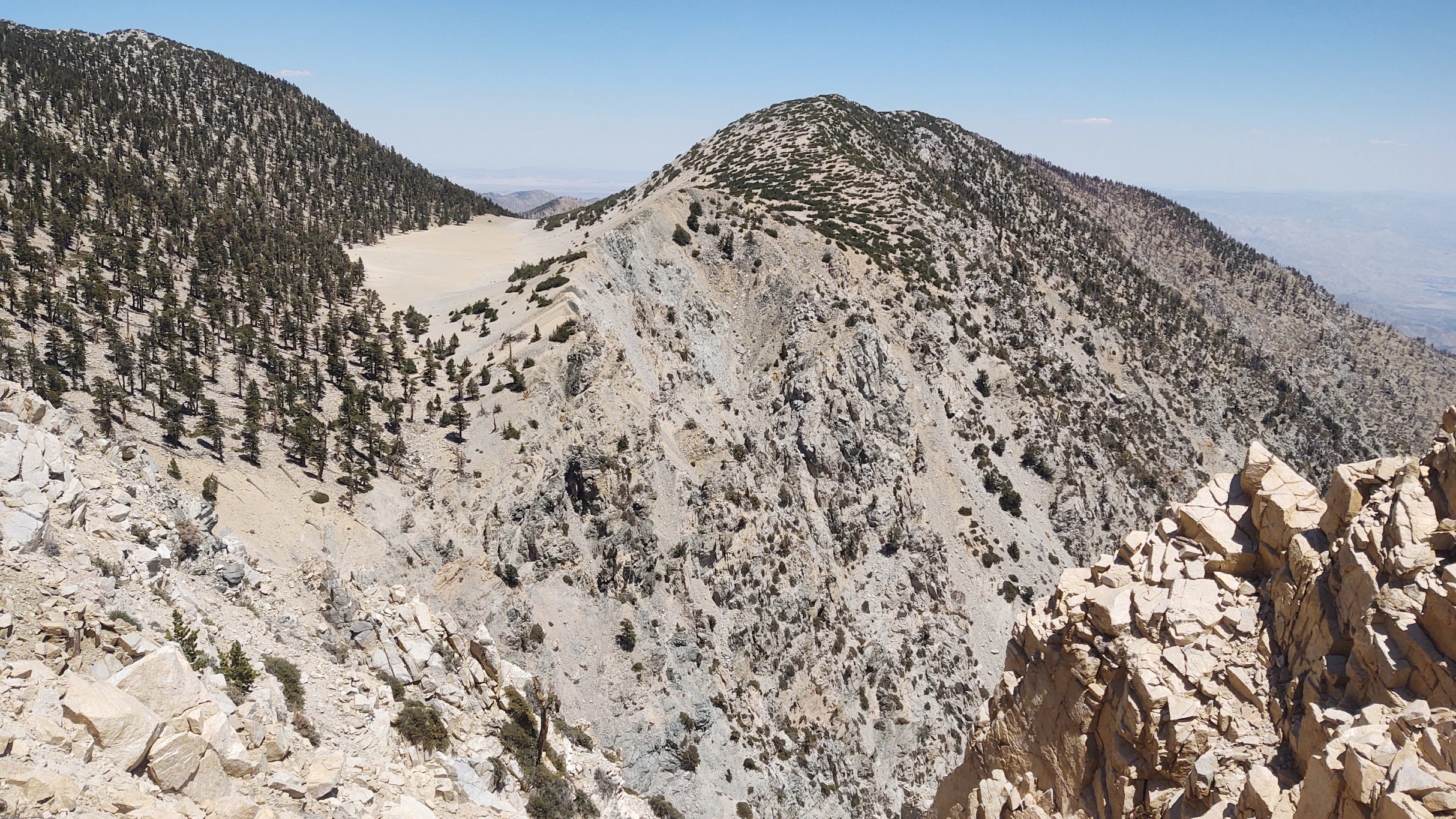
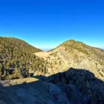
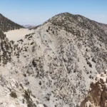
Dragonhead Bighorn, photo by Sunny Yi
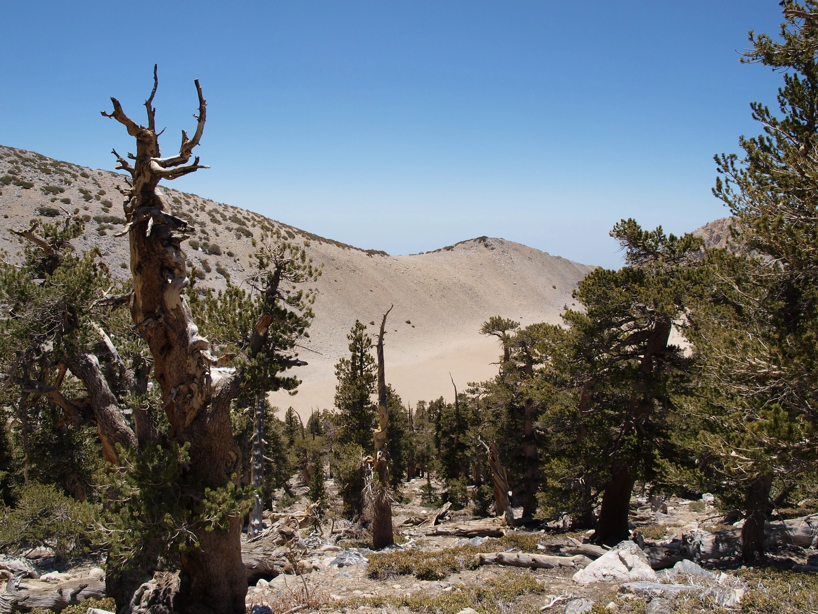
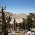
the Tarn, photo by Kathy Wing


Peakbagger.com

Nearest ranger station

NOAA Forecast

Google Earth


