Lake Peak

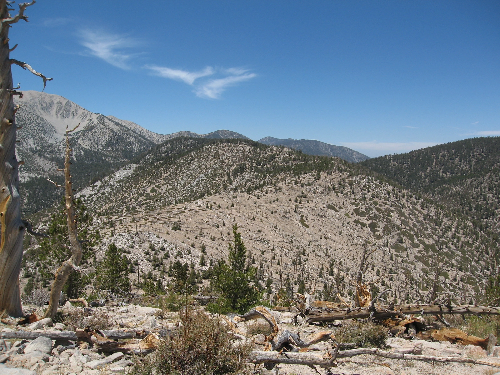
Lake Peak, taken from Ten Thousand Foot Ridge, Photo by Kathy Wing.

Peak Name

Lake Peak
24K

Elevation

10161

 feet

Status

active

Region

San Gorgonio Area

Range

San Bernardino Mountains

Location

34.1141774,-116.8119671

Description

From Lake, named for Dry Lake below, San Gorgonio looms to the southwest, Bighorn peaks out to the south, and the headwaters of the North Fork Whitewater River, not seen as well anywhere else, rush down its dramatic canyon, as Ten Thousand Foot Ridge stretches out to the southeast. It is typically hiked with nearby Lake Peak and/or Grinnell Mountain, all reached from Fish Creek Saddle.

Route 1 ascends the Fish Creek Trail to the saddle then south to the peak. Route 2 comes from the South Fork Trail.

Maps generated from CalTopo.com, reproduced with permission

Route 1
Elevation Gain
2180′
Navigation Difficulty
Moderate
Distance
10 miles round trip on trail and cross-country
Estimated time
5-6 hours round trip
Route Rating
Class 1, moderate
Leader Rating Required
“I”, normal conditions

Driving route

Take I-10 east past San Bernardino to the Orange Street exit (SR 38).
Go one block east, then go north (left) 0.5 mile to Lugonia Avenue. Turn right on SR 38 (east).
Continue east on SR 38 about 33 miles to 1N02, the road to Heart Bar Campground, on the right. Turn right. Note your odometer and go as follows:
At 1.2 miles, fork. Go right on 1N05.
At 2.8 miles, Aspen Grove Trail 2E05 goes west.
At 6.9 miles, fork. Go right.
At 7.2 miles, fork. The Pacific Crest Trail (PCT) crosses the road here. Go right.
At 7.6 miles, fork. Go right.
At 7.7 miles, Fish Creek Trailhead (1W07). Park here.

Hiking route

From the parking area (8040′), hike 1W07 southwest about 1/2 mile to a junction with the Aspen Grove Trail.
Keep left on 1W07 and continue 4 miles to Fish Creek Saddle at 9805′.
Hike south up to the top of the ridge at 10,080′.
Turn right and go southwest along the ridge to the rocky summit.

Route Notes

Printable Route

Road Type

Dirt

Google Maps Link to Trailhead 

Route 2 South Fork Trail
Elevation Gain
3430′
Navigation Difficulty
Moderate
Distance
13 1/2 miles round trip on trail and cross-country
Estimated time
6 hours round trip
Route Rating
Class 1, moderate
Leader Rating Required
“I”, normal conditions

Driving route

Take I-10 east past San Bernardino to the Orange Street exit (SR 38).
Go one block east, then go north (left) 0.5 mile to Lugonia Avenue. Turn right on SR 38 (east).
Continue east on SR 38 about 26 miles to Jenks Lake Road on the right. Turn right (south).
Continue to the signed South Fork Trailhead parking lot on the left. Park here.

Hiking route

From the parking area (6850′), hike the South Fork Trail (1E04) past the old Poopout Hill trailhead to South Fork at Slushy Meadows where the Dry Lake Trail forks left (8200′).
Turn left (southeast) and follow this trail 1 1/2 miles to Dry Lake where there is another trail fork.
Turn left and go 1/2 mile to Lodgepole Spring.
Continue 3/4 mile east cross-country up to Fish Creek Saddle at 9805′.
Continue as in Route 1.

Route Notes

Printable Route

Road Type

Paved

Google Maps Link to Trailhead 

Additional Peak Information

Special conditions: Permits for day or overnight use are required for all routes and have a limit of 12. Permits can be obtained online from the San Gorgonio Wilderness Association at swga.org up to 90 days in advance or at the Mill Creek Ranger Station, 9 miles from Redlands on SR 38.

Nearby Peaks

Backus Peak
Owens Peak
Black Mountain #5
Morris Peak

External Links

mountain 1

Peakbagger.com

Click Here

ranger-tower 1

Nearest ranger station

Click Here

g311

NOAA Forecast

Click Here

worldwide 1

Google Earth

Click Here

Photo Gallery