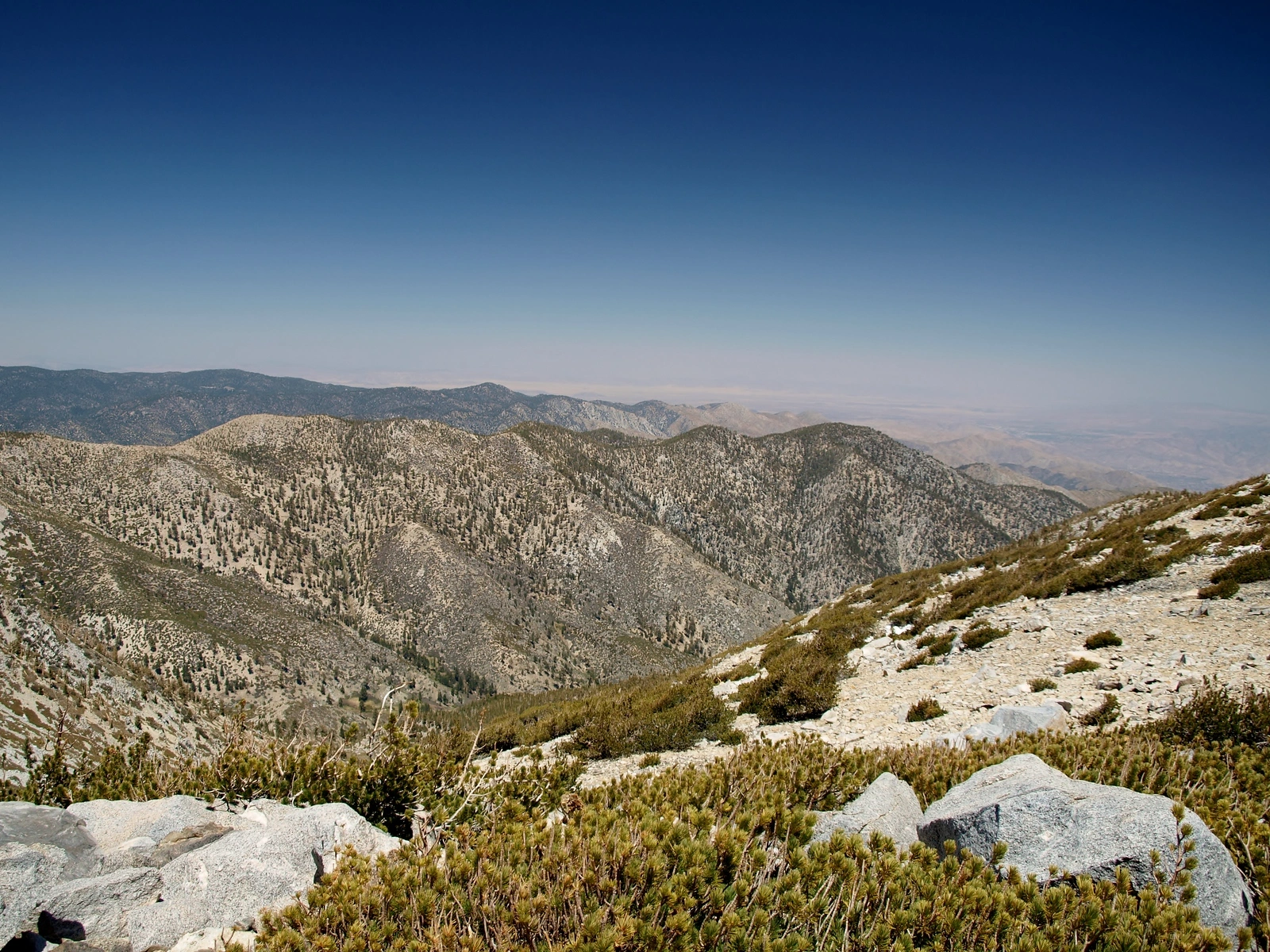
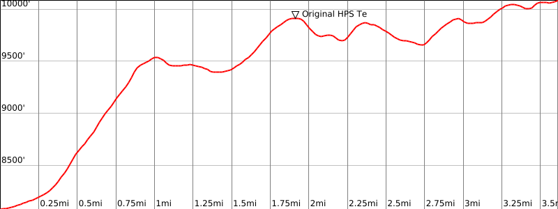
Ten Thousand Foot Ridge, taken from Bighorn, photo by Kathy Wing
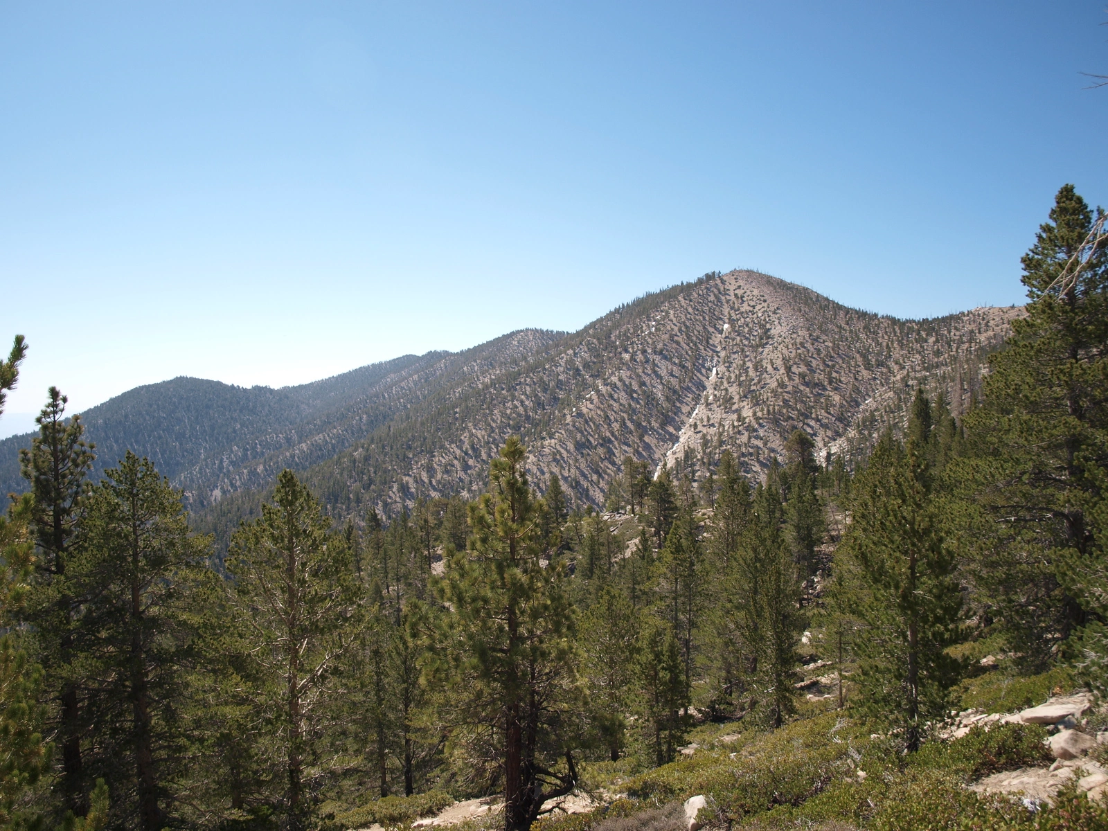
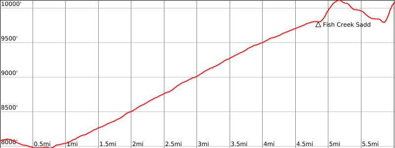
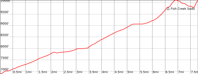
#1 0K Ridge, taken from Fish Creek, photo by Kathy Wing


Peakbagger.com

Nearest ranger station

NOAA Forecast

Google Earth


