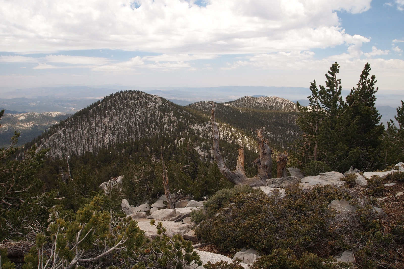
Jean Peak with Marion behind, taken from San Jacinto, photo by Kathy Wing
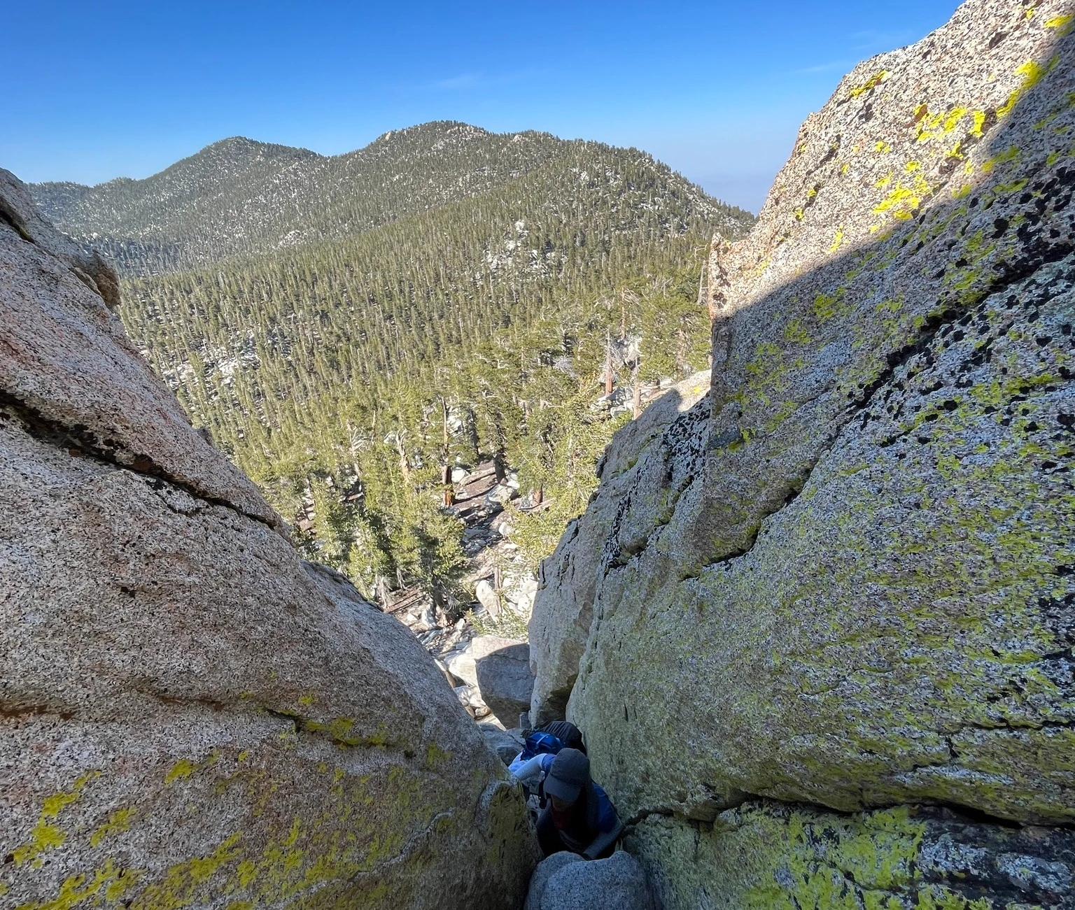
Jean Near Drury Far, taken from Marion, photo by Nahid Shirazi


Peakbagger.com

Nearest ranger station

NOAA Forecast

Google Earth


