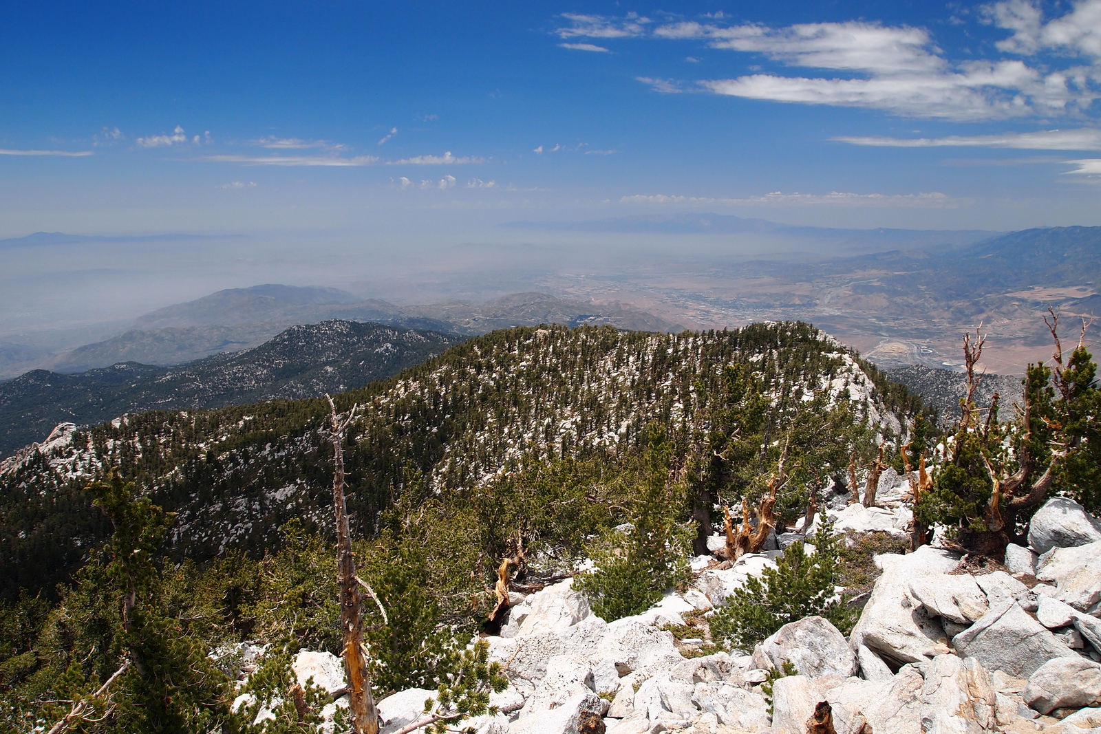
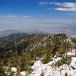
Folly Peak, taken from Mount San Jacinto, photo by Kathy Wing
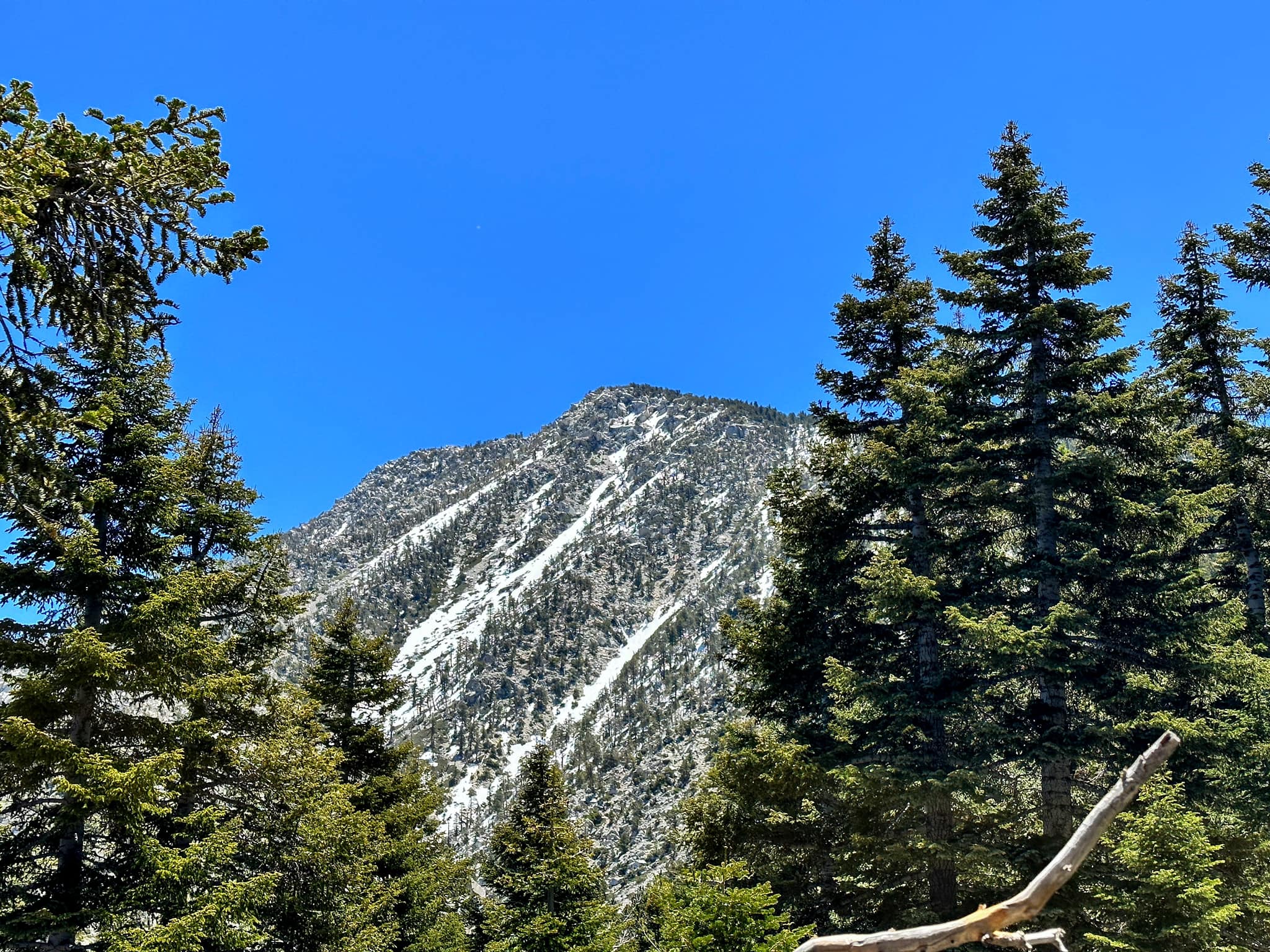
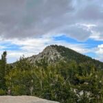
Folly, photo by Sunny Yi
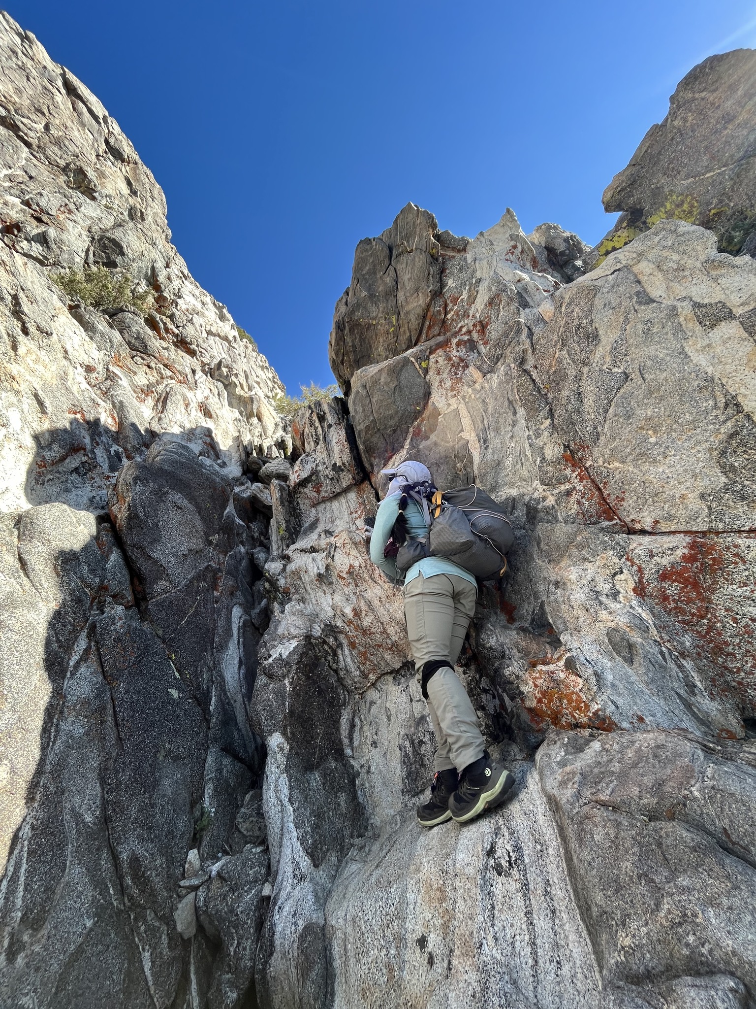
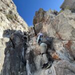
Folly Rock Scrambling, photo by Nahid Shirazi
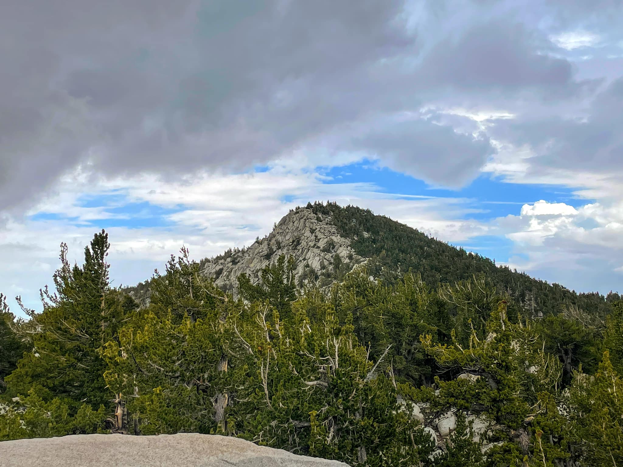
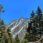
Folly Closer, photo by Sunny Yi


Peakbagger.com

Nearest ranger station

NOAA Forecast

Google Earth


