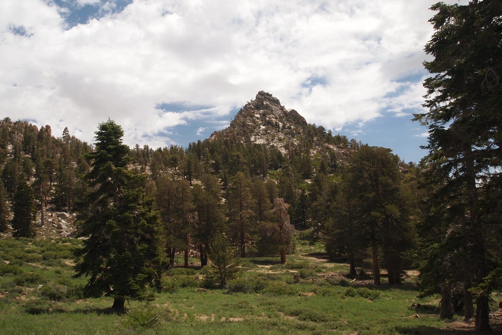
Cornell Peak, photo by Kathy Wing
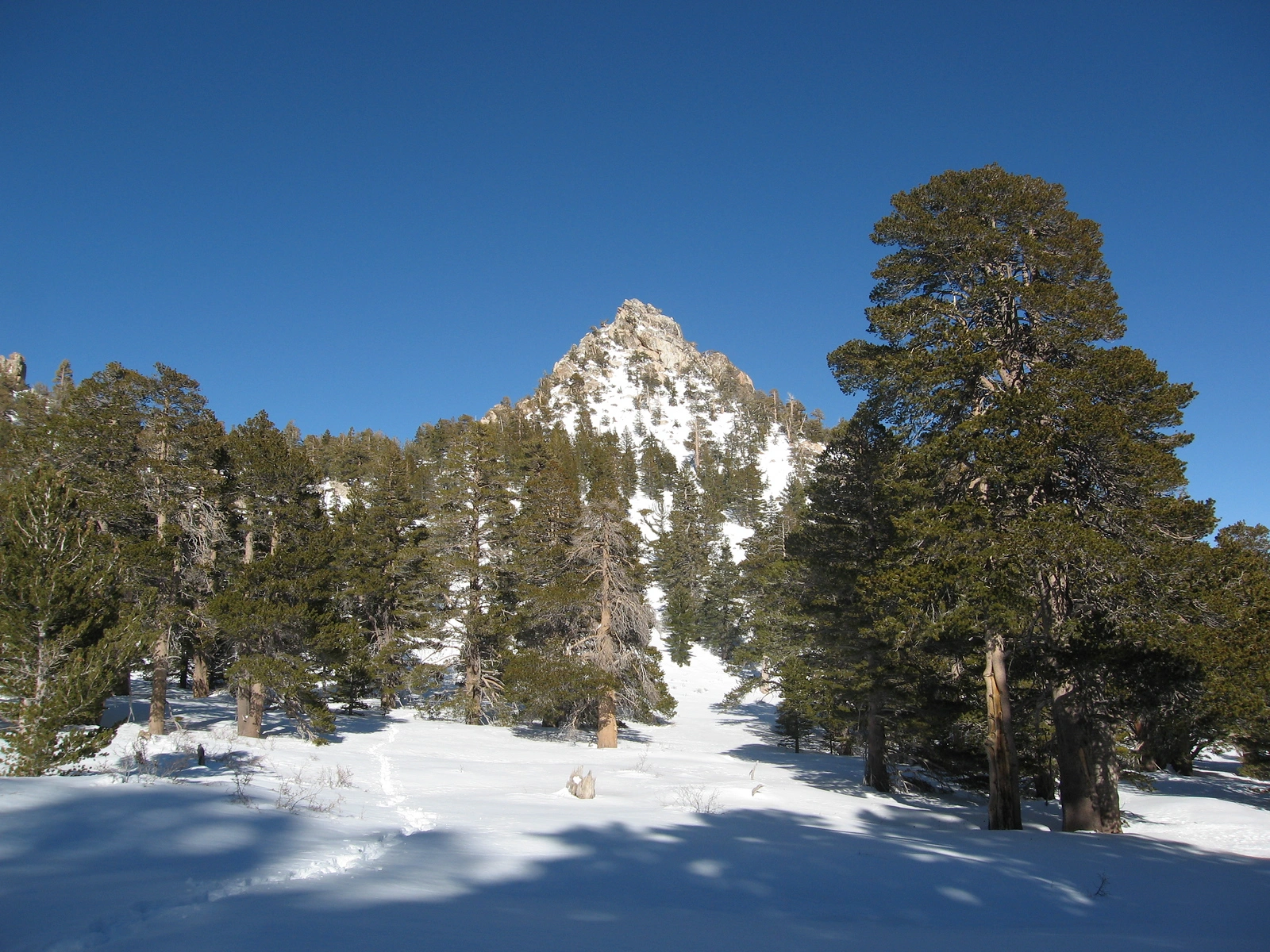
Cornell Snow, taken from Tamarack, photo by Kathy Wing


Peakbagger.com

Nearest ranger station

NOAA Forecast

Google Earth


