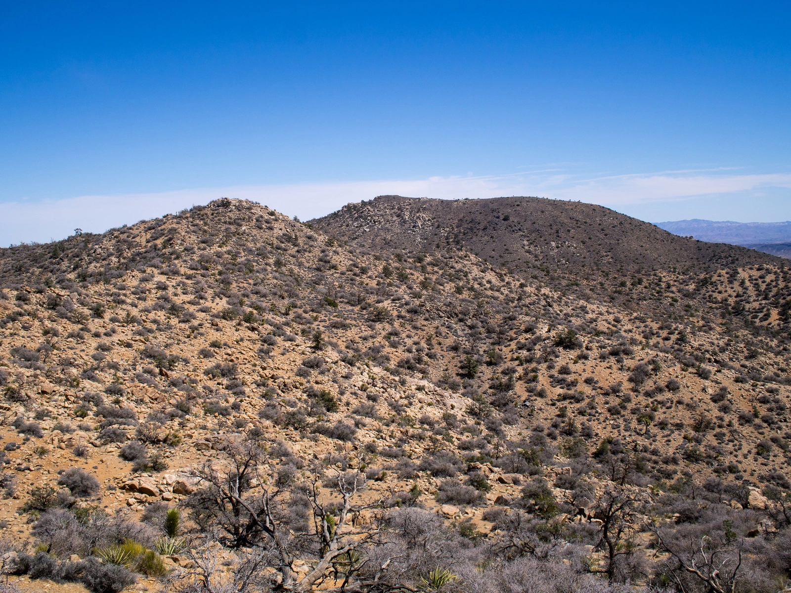
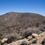
Black #4 Distance, photo by Kathy Wing

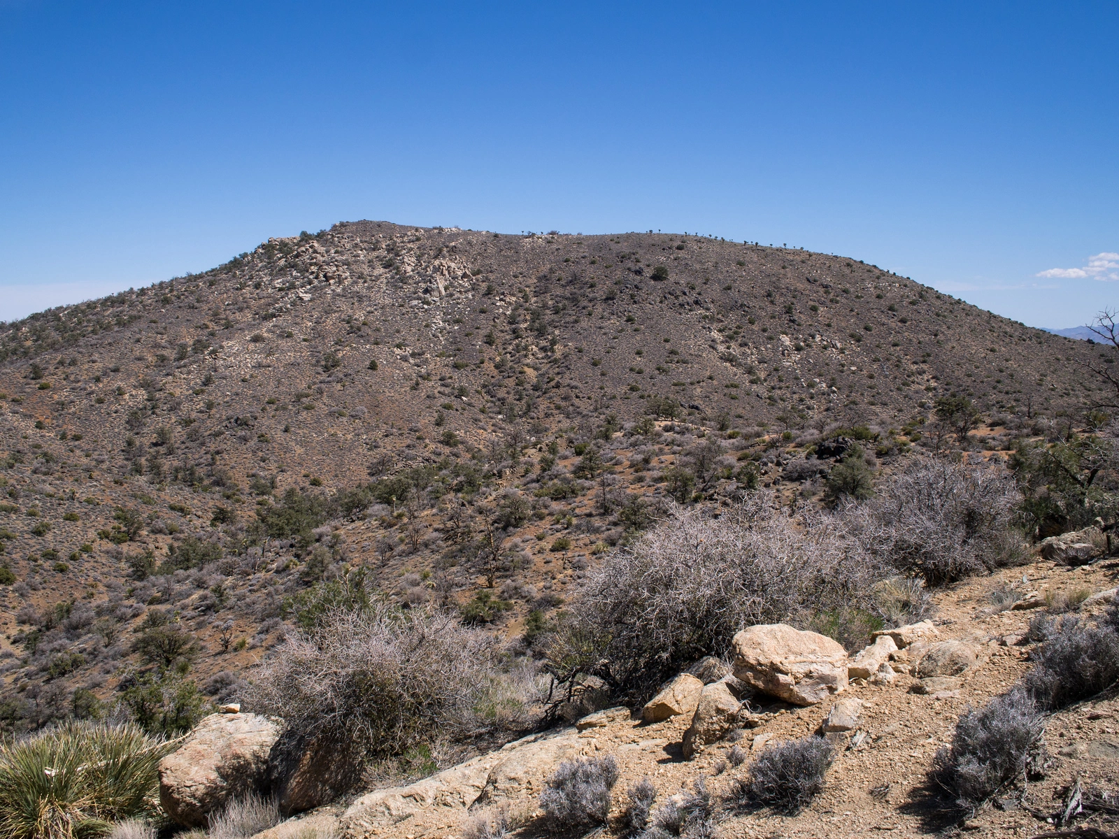
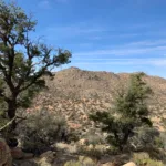
Black Mountain #4, photo by Kathy Wing
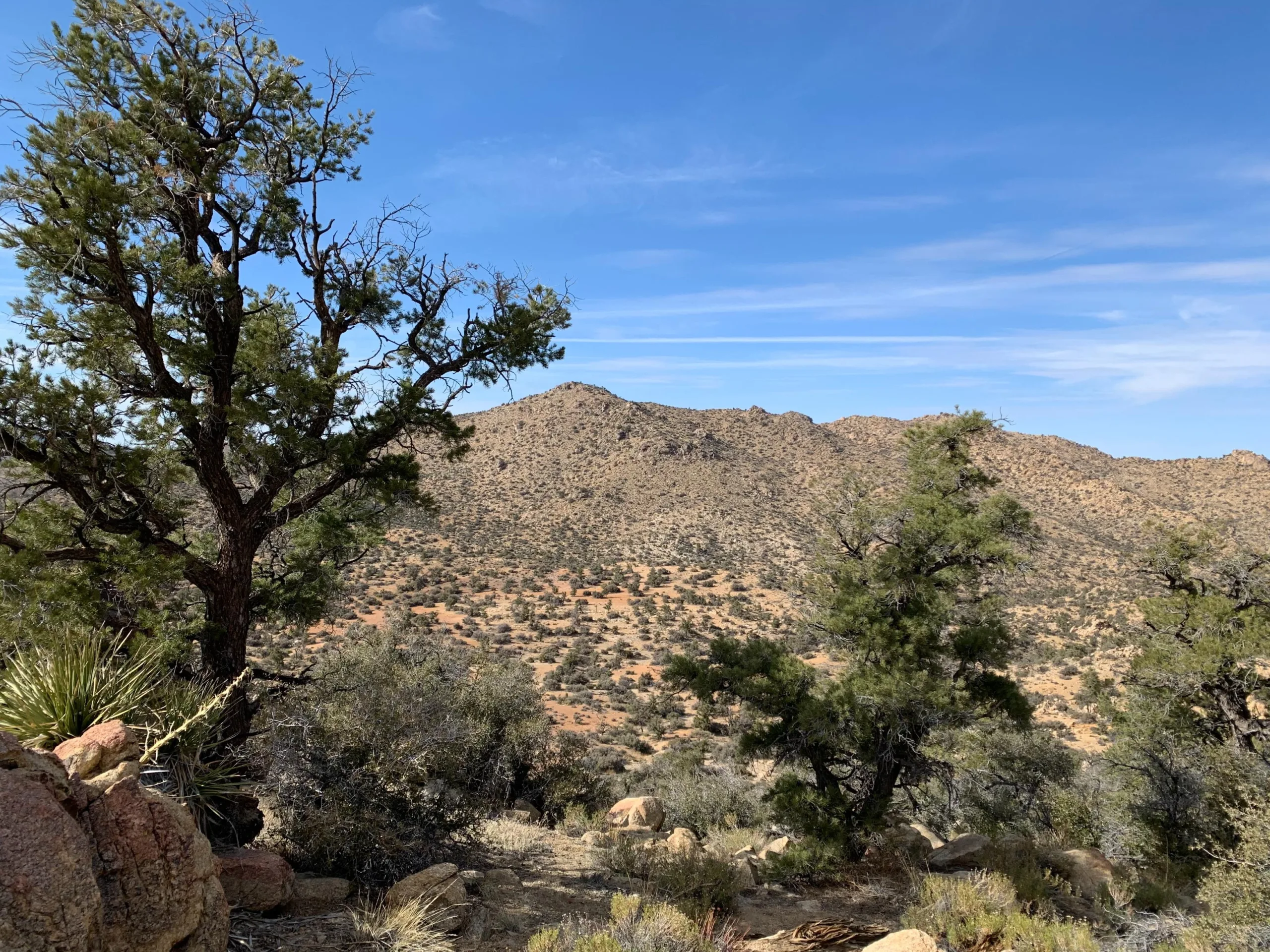
Black #4, photo by Kathy Wing
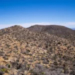
Black Mount n4, photo by Sharon Moore


Peakbagger.com

Nearest ranger station

NOAA Forecast

Google Earth


