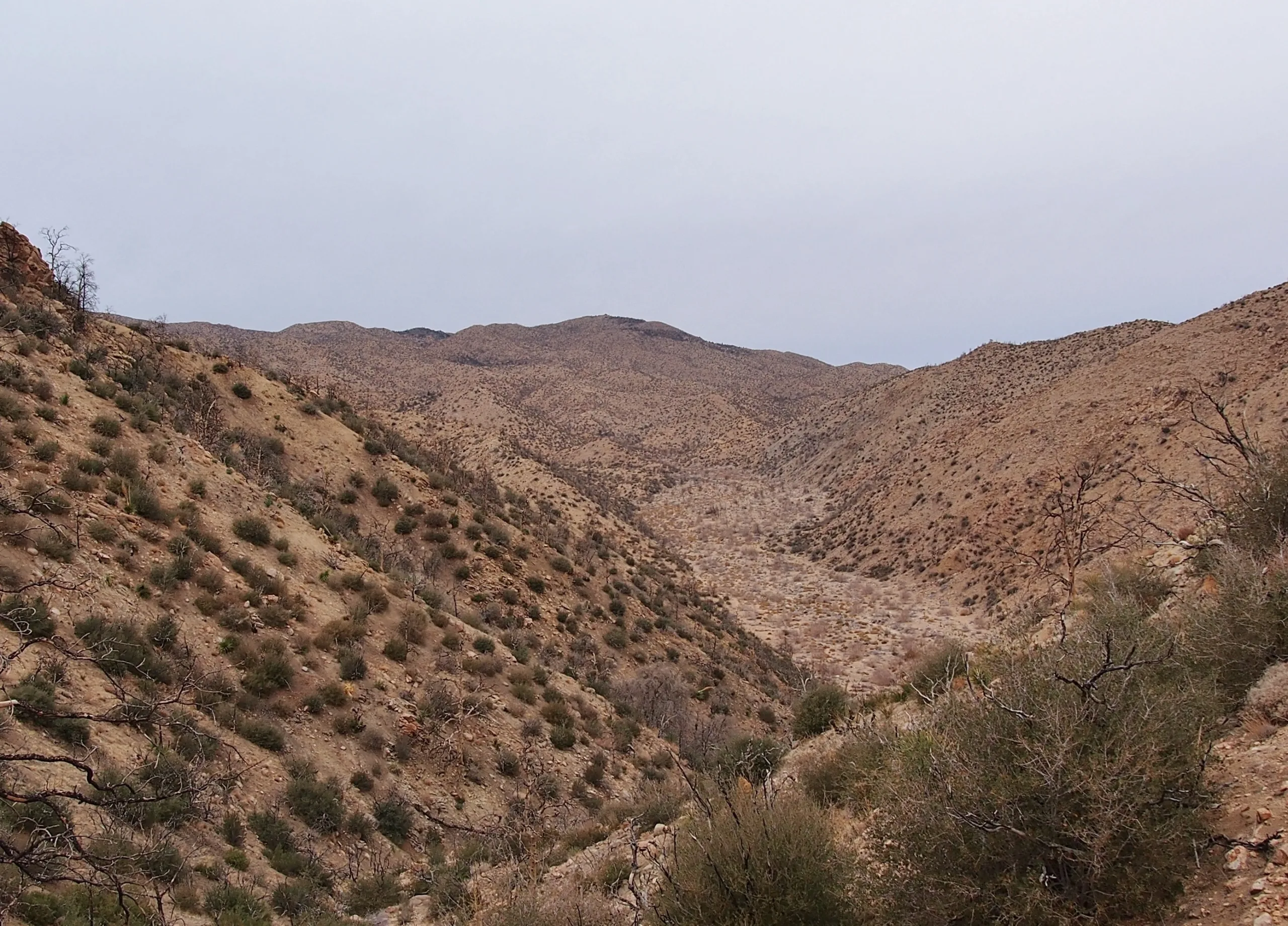
Chaparrosa Peak, taken from Pipes Canyon, photo by Kathy Wing
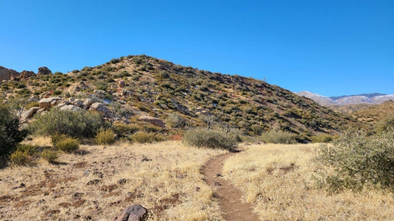
Chaparrosa, photo by Edward So


Peakbagger.com

Nearest ranger station

NOAA Forecast

Google Earth


