Peak Name
Elevation
feet
Status
Region
Range
Nearby peaks
Location
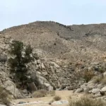
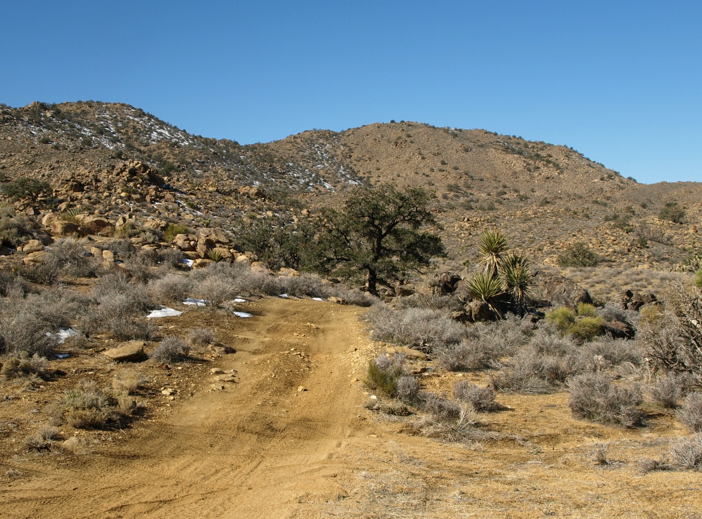
Bighorn Mountain and its neighbor Meeks Mountain lie in the Bighorn Mountains Wilderness, a wild and remote area where the mountains of the San Bernardino National Forest give way to the desert and Joshua Tree National Park. Shouldered by the grand San Bernardino Mountains on one side, and the vast high desert on the other, this was once the realm of large bands of mountain sheep and home to one S.H.Meek, a locally famous 1880s desperado. The sense of remoteness and isolation on all these routes is refreshing.
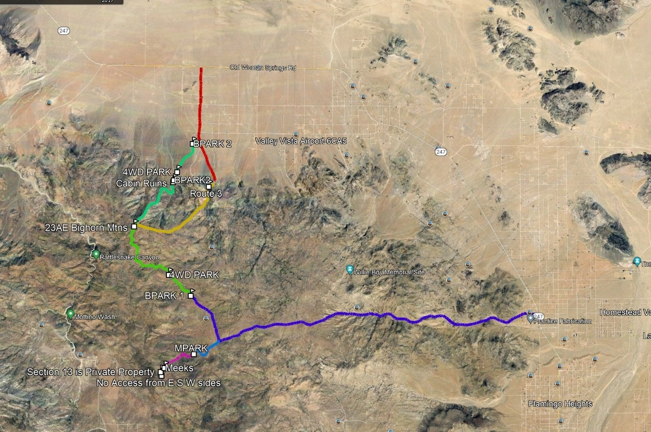
Route 1 starts after a rough dirt road drive from Landers in the east and follows a remnant of old road, passing the trailhead for Meeks and making a good combination. Route 2 starts from the north and proceeds on ridges; one can drive to the trailhead with a high clearance vehicle or park on the road and hike the extra distance. Route 3 follows washes, ridges and cross country from the northeast.
Maps generated from CalTopo.com, reproduced with permission
Driving route
Take I-10 east through Banning to SR 62.
Go north and east on SR 62 to SR 247 in Yucca Valley. Go left (north).
Drive 11.5 miles to the New Dixie Mine Road. Turn left. Note your odometer and go as follows:
At 8.0 miles, fork. Go either way as the roads rejoin after 1/4 mile.
At 8.6 miles, fork. Go straight.
At 9.2 miles, fork. This is the turnoff for Meeks Mountain. Turn right. Turn right again immediately.
At 10.0 miles, the road drops into a wash.
At 10.1 miles, the road leaves the wash on the left side.
At 10.8 miles, two forks. Go left at both. Park here. (The dirt road beyond this point becomes very rough and must not be driven beyond the Bighorn Mountains Wilderness boundary at 5720′.)
Hiking route
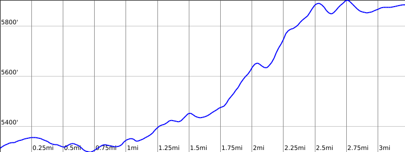
From the parking area (5299′), hike 1.4 miles northwest along a dirt road.
Continue north on the dirt road over a couple of bumps for another 1.2 miles veering left at all forks.
The register is not found on the highest bump in the area, but on the top of a rocky outcrop at the northwest corner of the plateau, about 40′ to the left (west) of the road. Just beyond this spot the road drops down to an obvious vista point with an impressive view of desert floor.
Special conditions: The New Dixie Mine Road is very sandy and not recommended for passenger cars. High clearance or 4WD vehicles are required.
Driving route
Southern approach:
Take I-10 east through Banning to SR 62.
Go north and east on SR 62 to SR 247 in Yucca Valley.
Go left (north) and drive 23.6 miles on SR 247 to Bighorn Road (dirt) on the left. Turn left (south). Note your odometer and go as follows:
At 2.0 miles there is an intersection. Turn right on Cholla Avenue.
At 2.1 miles there is a fork (this is the fork up Bighorn Canyon).
Go about 100 yards farther on Cholla Avenue and turn left on an unsigned road. Passenger cars should park here.
High clearance vehicles may proceed about 1.2 miles farther but must not enter the Wilderness at the 3880′ contour. This road begins in good shape but begins to become rocky as you travel south.
Northern approach:
The Bighorn Road turnoff on SR 247 can be reached by the following shorter route from Los Angeles.
Drive north on I-15 towards Hesperia and exit Bear Valley Road.
Go east (right) on Bear Valley Road 12.8 miles to SR 18.
Go east (right) on SR 18 10.8 miles to SR 247.
Continue east on SR 247 approximately 21.7 miles to Bighorn Canyon Road and proceed as described above.
Hiking route
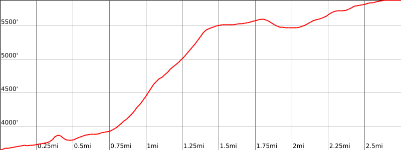
From the 2WD parking area (about 3310′), hike south up the road crossing a big wash until the road ends at an old mine.
Turn south and hike up the hill to a bump, go west about 100 yards to a saddle and north up the ridge to its end at 4800′.
Turn southwest and hike up the slope to the ridge that runs generally north from the summit. Hike this ridge to the summit.
Route Notes
Note: Be sure to note your way as you go up, as the ridges can be confusing on the way down.
Driving route
Southern approach:
Take I-10 east through Banning to SR 62.
Go north and east on SR 62 to SR 247 in Yucca Valley. Turn left (north) on SR 247.
Drive 23.6 miles to Big Horn Road (dirt) on the left. Turn left. Note your odometer and go as follows:
At 2.0 miles, intersection. Turn right on Cholla.
At 2.1 miles, fork left (south). Turn left.
Drive 1 mile to the end of drivable road near the mouth of Bighorn Canyon.
Northern approach:
Take I-15 north through Cajon Pass and proceed beyond the Hesperia exit to Bear Valley Road.
Head east (right) on Bear Valley Road and continue 13 miles to its end at SR 18.
Continue east 11 miles on SR 18 to Lucerne Valley, meeting a junction where SR 18 heads south.
Continue straight (east) at this junction. At this point the highway becomes SR 247, Old Woman Springs Road.
Proceed east 21 miles to a sparse subdivision, meeting first Pony Road and then Big Horn Road (dirt). Turn right on Big Horn Road. Note your odometer and proceed as in the drive from Yucca Valley.
Hiking route
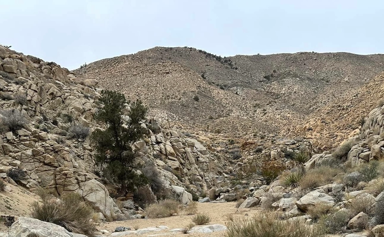
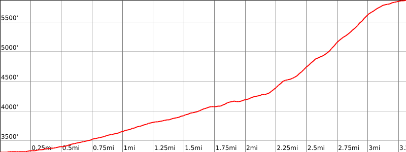
From the parking area (3600′), enter Bighorn Canyon and proceed upstream for less than a mile to an unmistakable mine opening to the right immediately next to the streambed. The canyon forks 0.1 mile past this mine.
Proceed up the steep ridge between the two forks, ascending 1700′ to a broad plateau that leads to bump 5641′.
Upon cresting, head west across first a saddle and then up and over a small rocky ridge. Follow a series of dramatic rock outcrops on their left (west) side to the summit plateau.
Continue hiking into the summit plateau until the jeep road of Route 1 is encountered. Turn right and follow this road to the register, which is not found on the highest bump in the area, but on the top of a rocky outcrop at the northwest corner of the plateau, about 40′ to the left (west) of the road. Just beyond this spot the road drops down to an obvious vista point with an impressive view of the desert floor.
For a different descent route, proceed down the main northeast ridge past the vista point to the obvious side ridge jutting eastward between 4800′ and 5000′. Traverse to this side ridge, then drop to the north-south canyon and follow it downstream. You meet a jeep road that follows the canyon, and then a side road comes in from the east 0.1 mile farther. Turn right (east) on this side road and proceed to its end, then cross-country over foothills to the Bighorn Canyon trailhead.
Additional Peak Information
Notes: The summit is in the Bighorn Mountains Wilderness. At the date of this guide, a permit is not required.


You must be logged in to upload images.