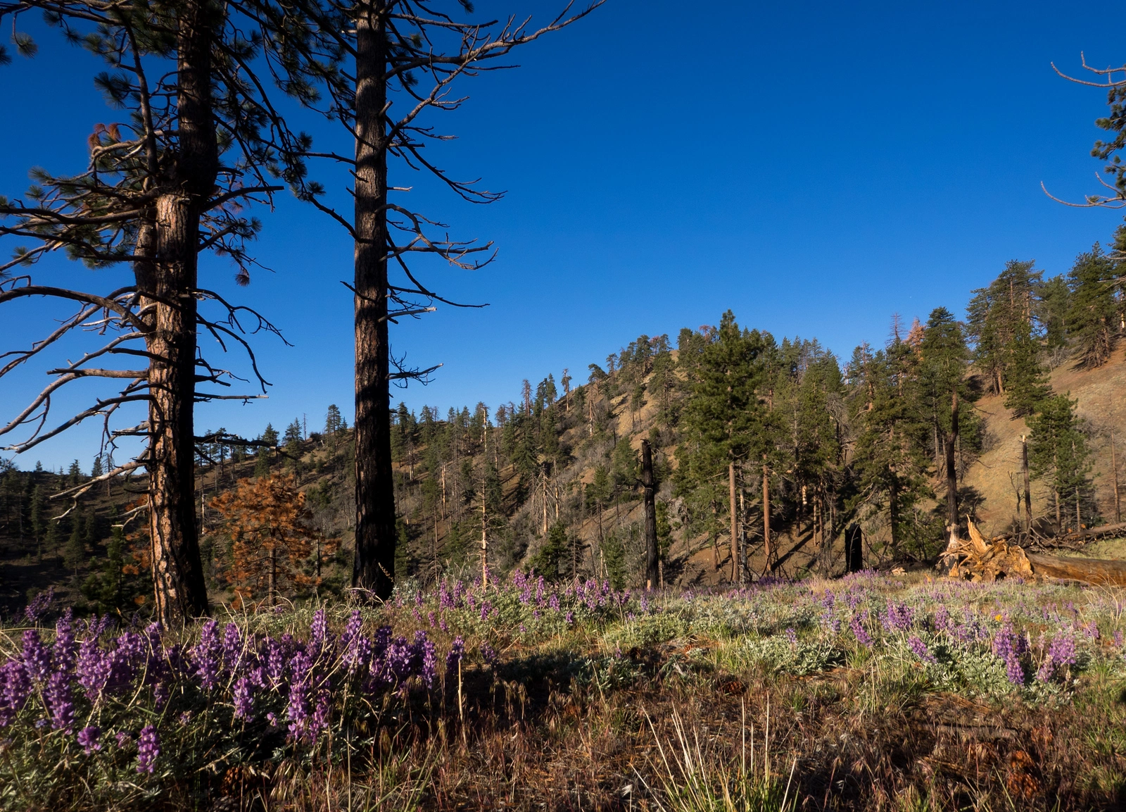
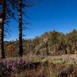
McDonald Peak, photo by Kathy Wing
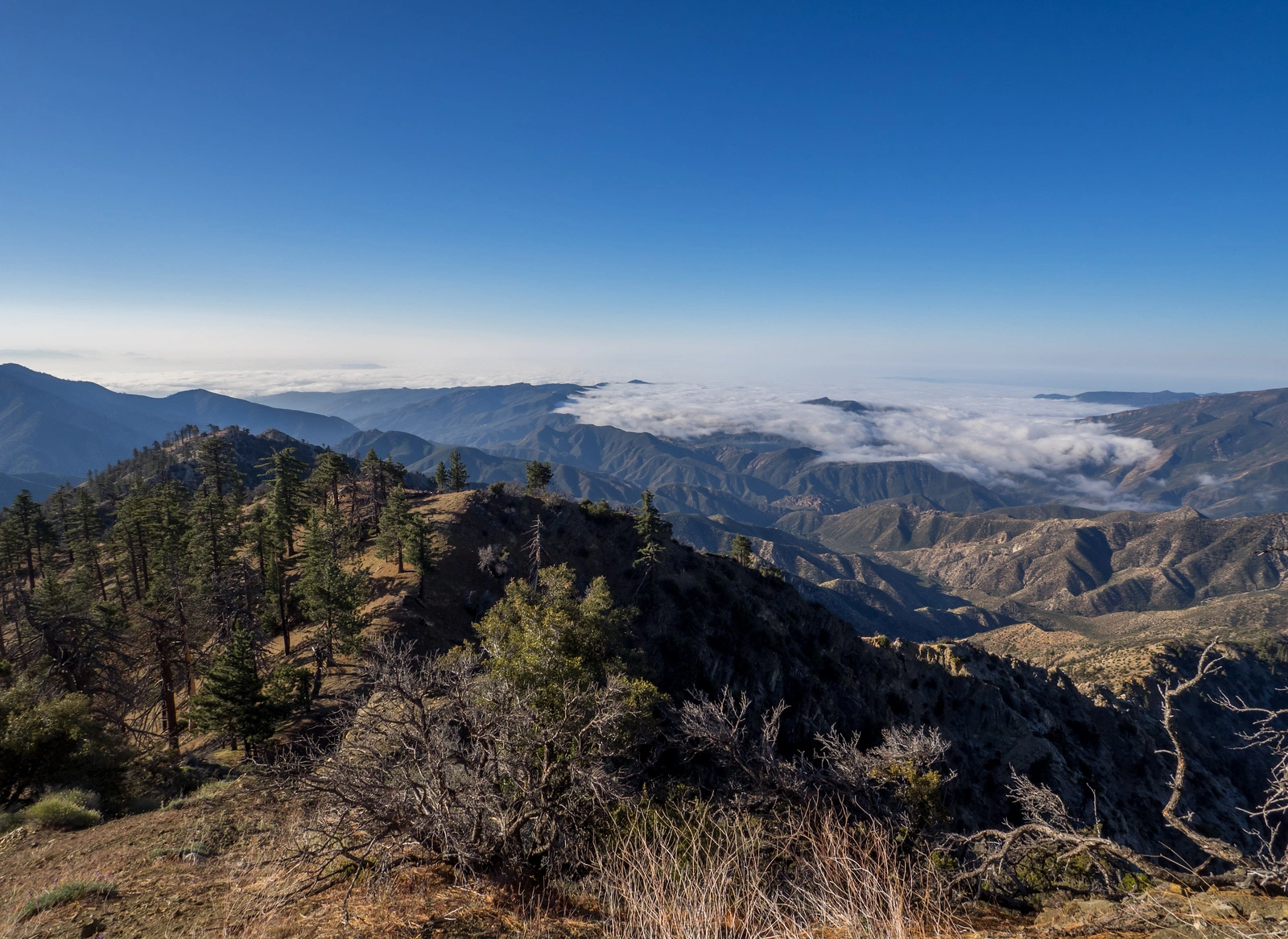
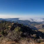
View from McDonald Peak, photo by Kathy Wing
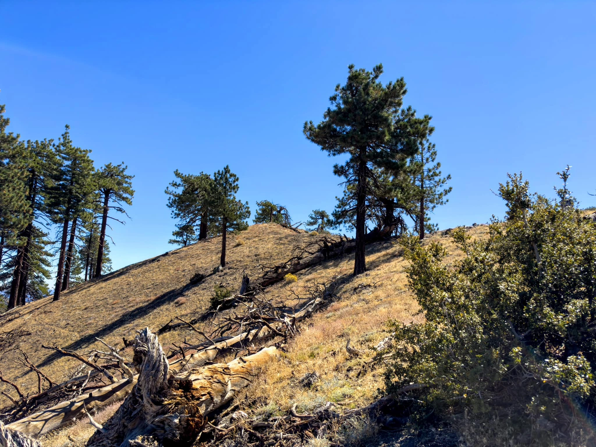
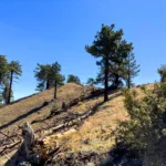
McDonald Summit Block, photo by Sunny Yi
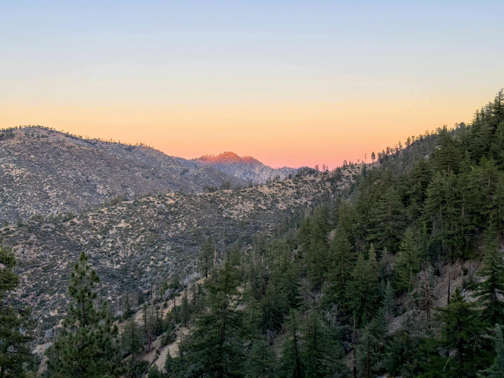
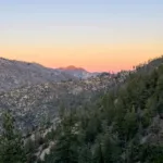
Sunset from McDonald Peak, photo by Sunny Yi


Peakbagger.com

Nearest ranger station

NOAA Forecast

Google Earth


