Snowy Peak

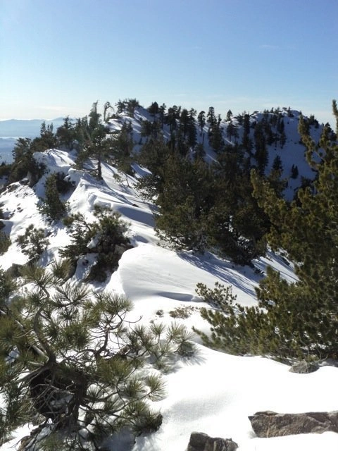
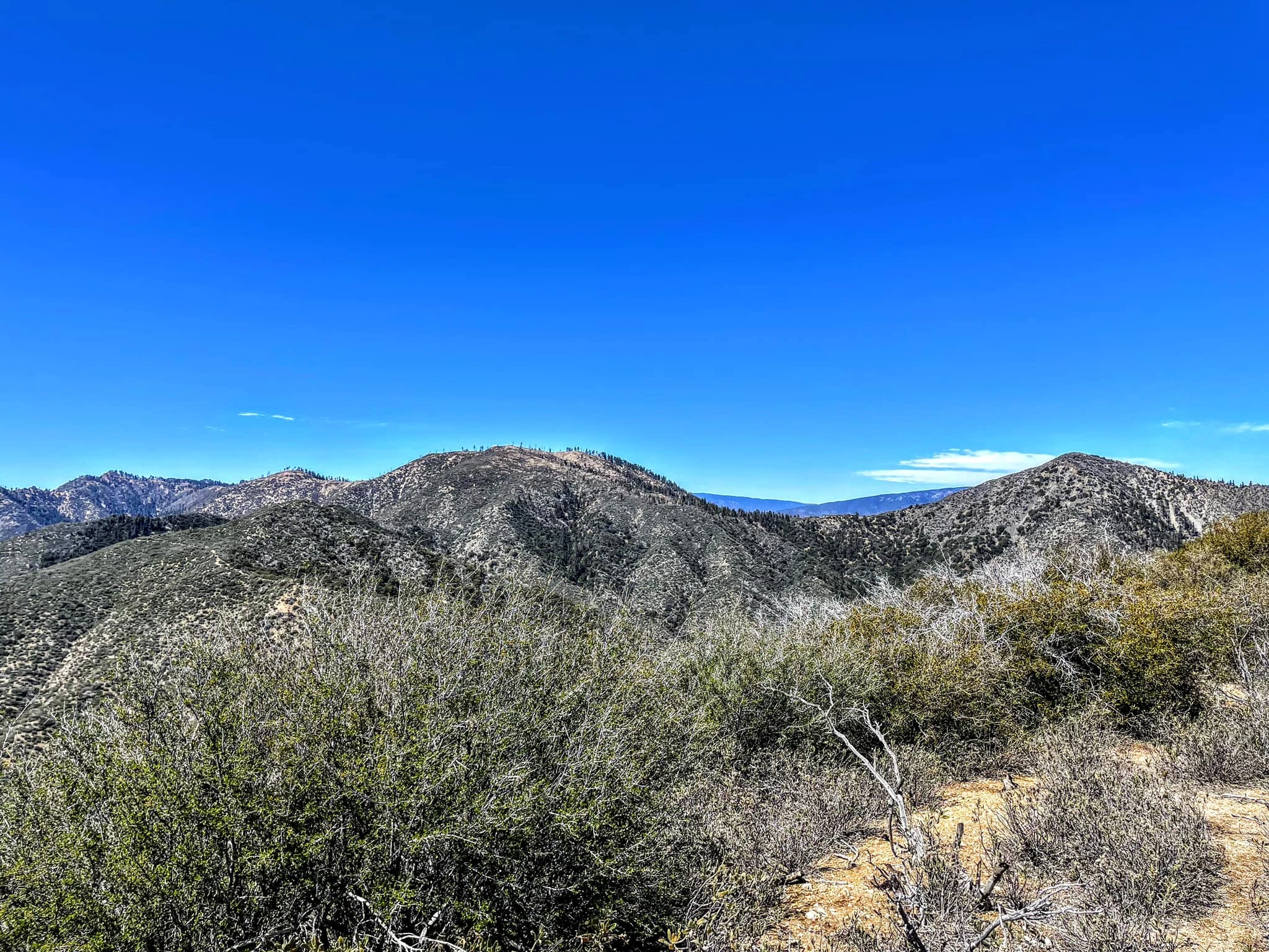
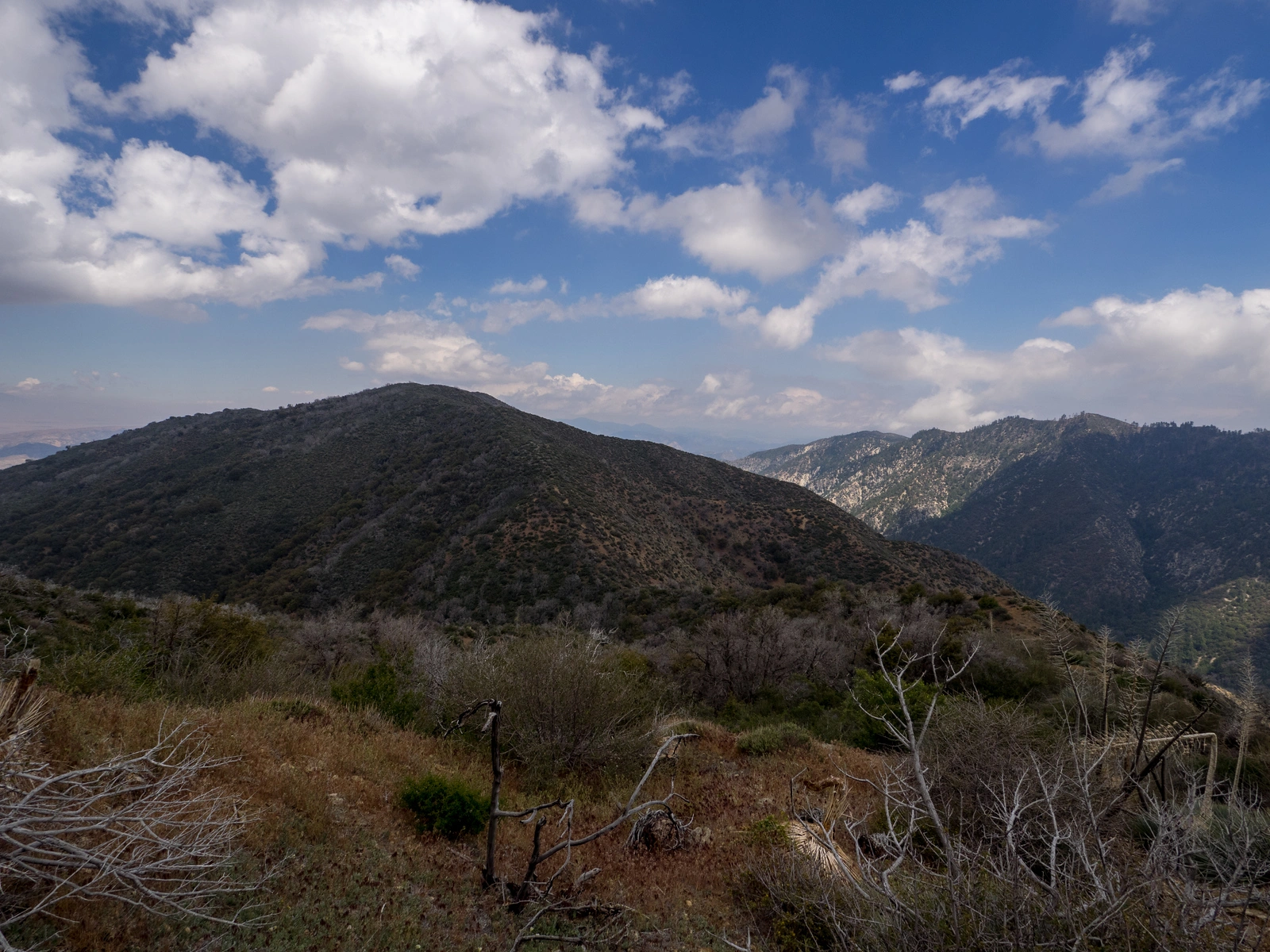
Snowy Peak, Photo by Kathy Wing.

Peak Name

Snowy Peak
07J

Elevation

6532

 feet

Status

active

Region

Ventura County

Range

Ventura Ranges

Location

34.6494303,-118.888708

Description

Snowy Peak is named for the white gneiss found on its summit, although “brushy’ is more accurate. It is on the same ridgeline as Black Mountain #2 and is another easily achievable pathfinder for that reason. Route 1 approaches via the southwest ridge, which is prime habitat for buckthorn (Ceanothus cuneatus). It becomes overgrown without frequent use and maintenance.

Maps generated from CalTopo.com, reproduced with permission

Route 1
Elevation Gain
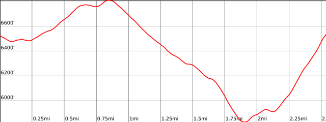
2100′ total, 1100′ out plus 1000′ on return
Navigation Difficulty
Moderate
Distance
6 miles round trip on road and brushy use trail
Estimated time
3-5 hours round trip
Route Rating
Class 1, moderate
Leader Rating Required
“I”, normal conditions

Driving route

Go north on I-5 to the town of Gorman. Get off on the signed Gorman exit.
Turn left at the bottom of the off-ramp and go under the freeway.
Go 0.1 mile to Peace Valley Road. Turn right.
Go 1 mile to the entrance to Hungry Valley Recreation Area on your left (paved). Turn left. Note your odometer and go as follows:
At 0.2 miles, entrance station. If manned, you can avoid payment of the fee by telling the State Park employee that you are passing through to Alamo Mountain.
At 5.2 miles, intersection. Turn right (west) toward “Piru Creek”, signed.
At 11.2 miles, improved car camping area on right, with toilets. Often used as a meeting point.
At 11.4 miles, Piru Creek crossing. There is a seasonal gate just before this stream crossing.
At 13.4 miles, the pavement ends.
At 17.8 miles, fork to the left. Keep right.
At 17.9 miles, junction with the Alamo Mountain Road. Go straight. Note your odometer again and go as follows:
At 3.3 miles, fork immediately beyond a small road cut through the ridge. To the right leads to Alamo Mountain Route 1. Turn left.
At 4.0 miles, the road forks at the Little Mutau trailhead. Turn left. Past this point the road can sometimes be poor but is usually passable.
At 6.3 miles, the parking spot for McDonald Peak.
At 7.2 miles, a dirt berm, a sign indicating no further motor vehicle traffic, and a large parking area, suitable for car camping. Park here.

Hiking route

From the parking area (6500′), pass the gate and hike east on the old road for 1 mile to the obvious high point of the road. This is the summit area of Sewart Mountain.
Continue downhill on the old road for about 0.5 mile to a fork with an obscure road on the right, signed “Sespe Wilderness”. This is the turnoff for Cobblestone Mountain and White Mountain #2.
Keeping left, continue another 0.5 mile down the old road until just east of the saddle between Sewart Mountain and Snowy Peak, finding an obvious short side trail trending straight but on the left.
Climb this steep trail, which meets the ridgeline and picks up an obvious brushed-out trail that follows the ridgeline northeast to the summit.

Route Notes

Printable Route

Road Type

Dirt

Google Maps Link to Trailhead 

Additional Peak Information

Snowy Peak and Sewart Mountain are climbed with Black Mountain #2. The trail to Black Mountain #2 goes over Sewart Mountain and Snowy Peak.

Twin Pines Campground has a toilet but no other facilities.

Contact the USFS at (661) 245-3731 for information about the status of the seasonal gate at the Piru Creek crossing.

Nearby Peaks

Backus Peak
Owens Peak
Black Mountain #5
Morris Peak

External Links

mountain 1

Peakbagger.com

Click Here

ranger-tower 1

Nearest ranger station

Click Here

g311

NOAA Forecast

Click Here

worldwide 1

Google Earth

Click Here

Photo Gallery