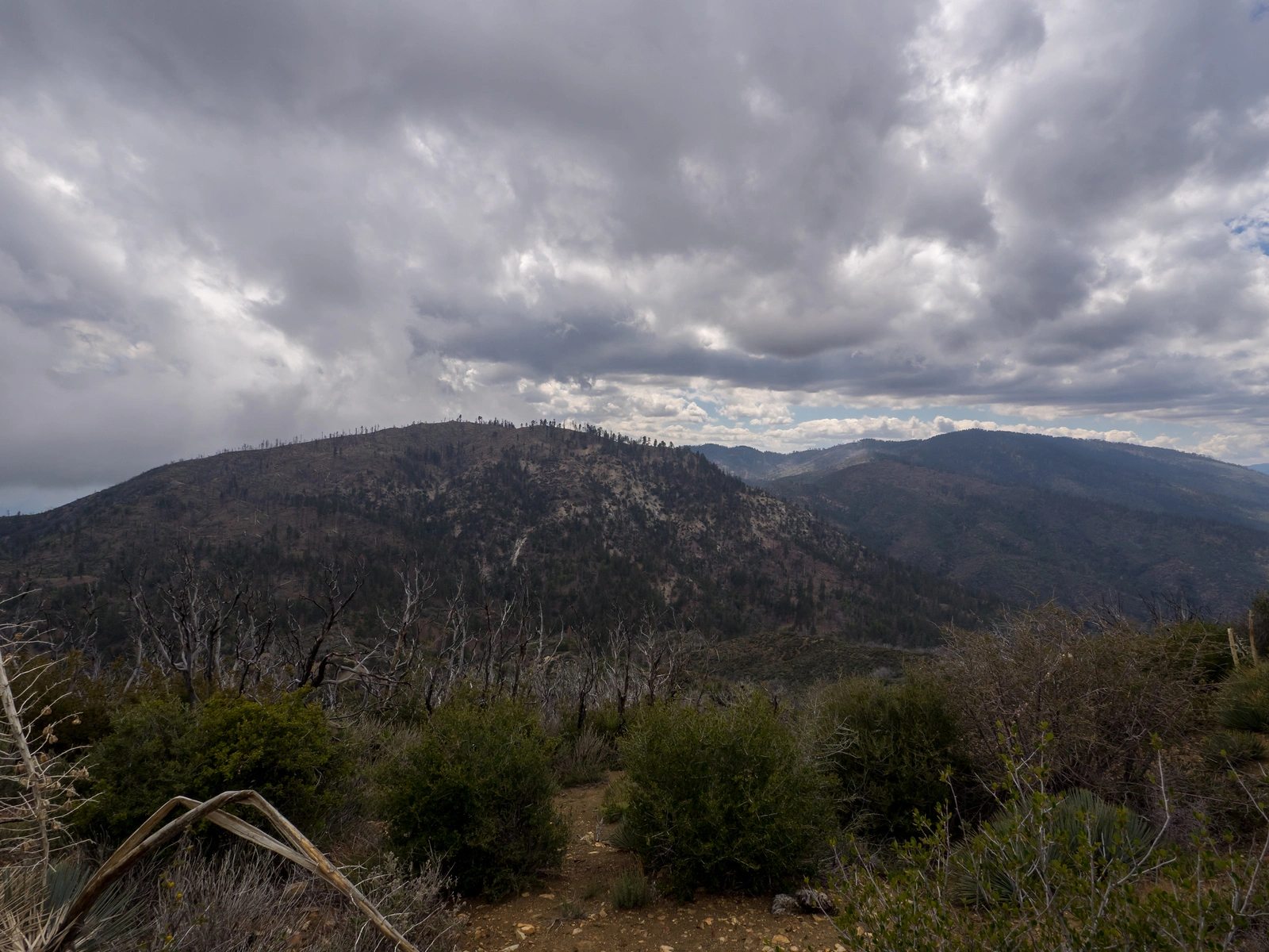
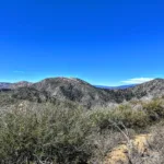
Sewart Mountain, taken from Snowy, photo by Kathy Wing
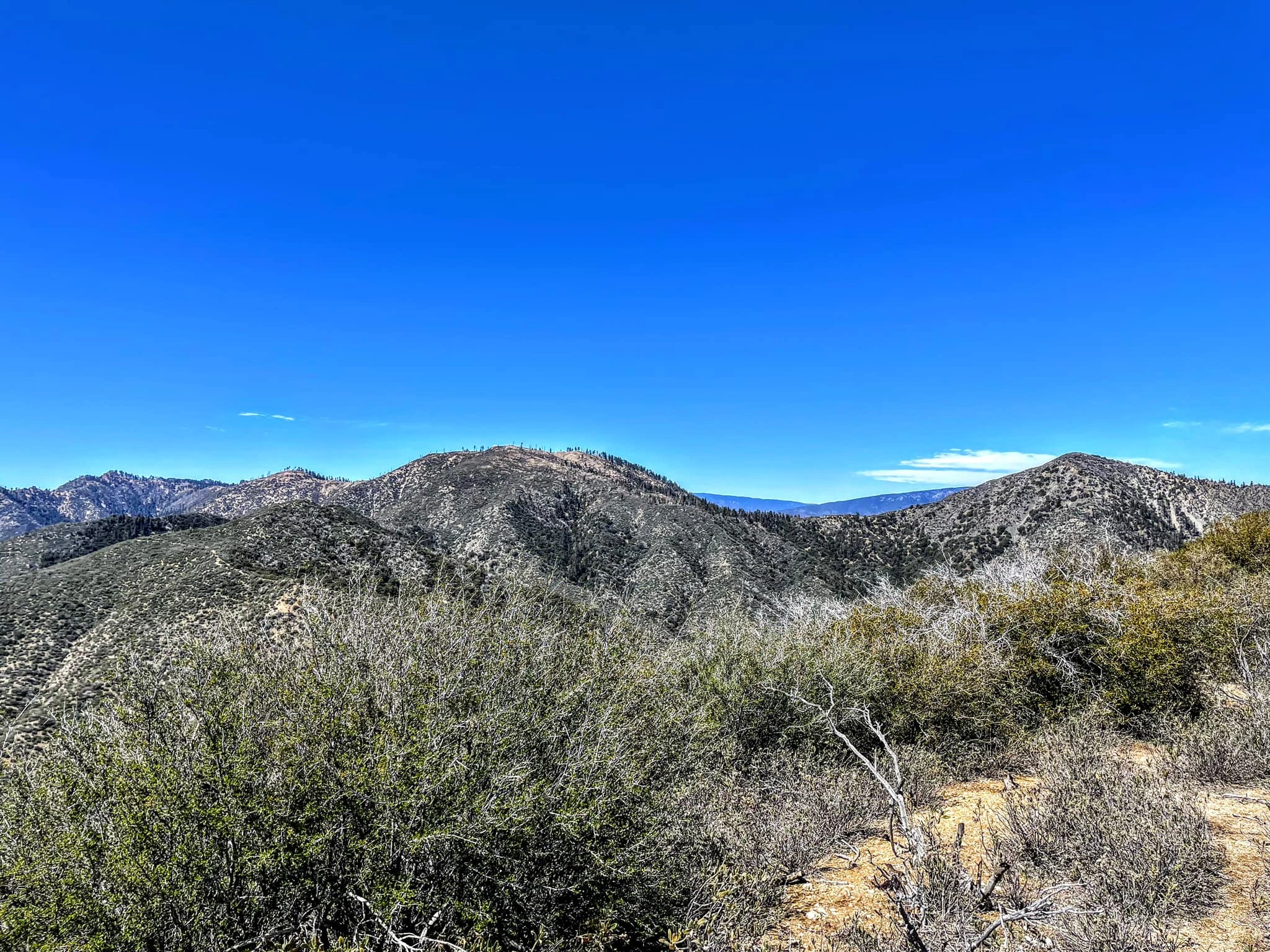
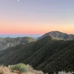
Sewart Mountain and Snowy Peak, photo by Sunny Yi
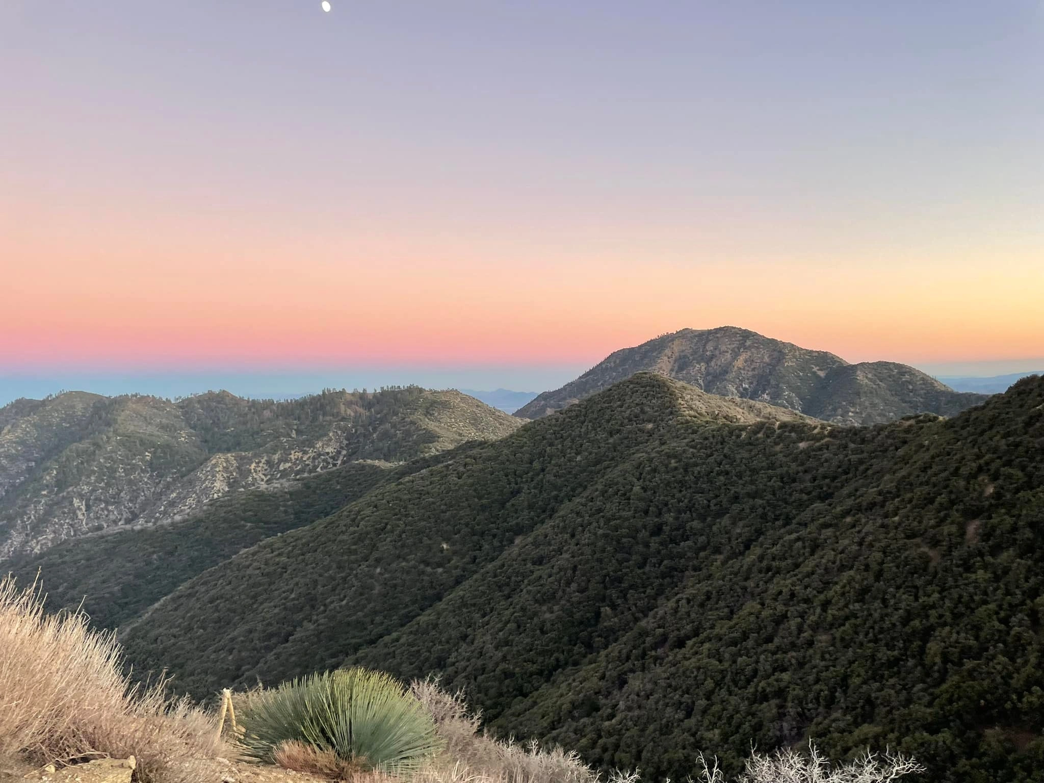
Sewart Cobblestone White, photo by Sunny Yi


Peakbagger.com

Nearest ranger station

NOAA Forecast

Google Earth


