Peak Name
Elevation
feet
Status
Region
Range
Nearby peaks
Location
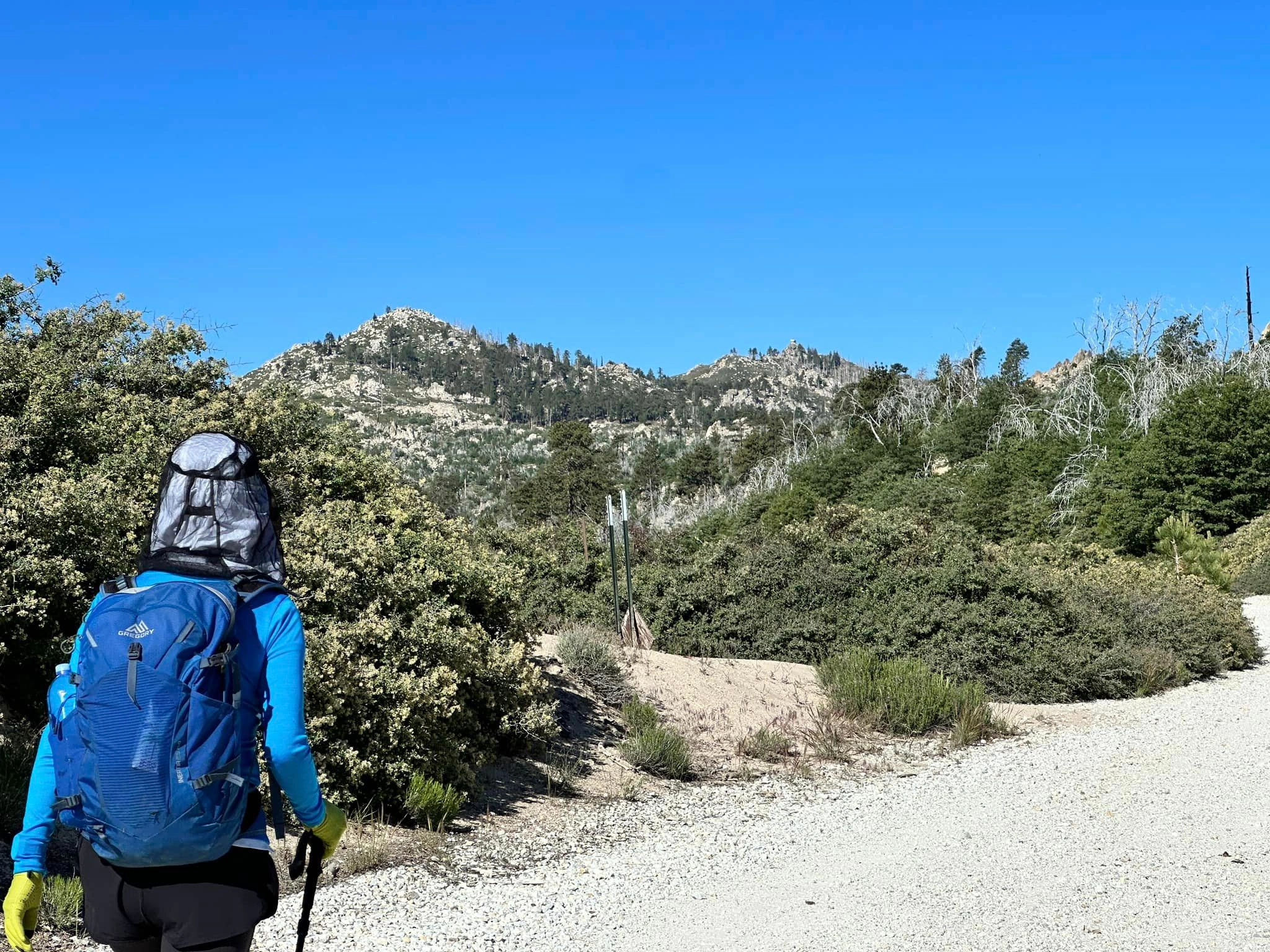
Gray’s Peak offers spectacular views of sapphire-blue Big Bear Lake, the forested ridges above Big Bear Valley and the high peaks of the San Gorgonio Wilderness. The peak is named for Alex Gray who, in 1918 along with James Fletcher Gray, founded “Gray’s Landing and Camp”, a popular nearby hostelry, boating pier and tackle shop complete with store and cabins (Gray’s Landing is still an active recreation boat rental facility).
Gray’s Peak is accessible by maintained trail from the west (Route 1), and unmaintained use trails from the north (routes 2 and 3). While it has the only trailhead access adjacent to pavement, Route 1 is typically closed from December through April to accommodate a nesting pair of bald eagles (currently Jackie and Shadow) that have attained national attention. Vehicle access to routes 2 and 3 are sometimes hampered in winter by snow and/or mud. All three routes offer a fair amount of shade from Jeffrey pines, black oak, and white fir. Gray’s can be combined with a nice off-trail scramble up the nearby Hanna Rocks, or with several nearby HPS peaks including Butler Peak, Delamar Mountain, Little Bear Mountain, or Bertha Peak.
Maps generated from CalTopo.com, reproduced with permission
Driving route
Drive east on I-10 to SR 210.
Drive north on SR 210 (signed “West”) to SR 330.
Drive north on SR 330 to SR 18 at the town of Running Springs.
Drive east on SR 18 to the dam at Big Bear Lake. Turn left on SR 38.
Drive on SR 38 to the Grays Peak trailhead parking lot on the left across from the Grout Bay Picnic area just before the town of Fawnskin. Park here.
Hiking route
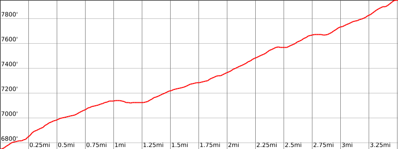
From the parking area (6760′), hike up the trail as it goes parallel to the highway for a while and then heads west and joins and follows old roads shown on the topo.
It then becomes trail again. It crosses our ducked Route 2 in three places, and approaches the final peak from the east, not continuing all the way to the summit but rather to a viewpoint.
Leave the trail and continue cross-country up to the summit.
Special conditions: The trailhead for Route 1 is closed to all public use from November 1st to April 1st of each year. This closure is being implemented to protect the breeding grounds of endangered birds. The parking area is sometimes closed, even after the eagle closure has been lifted.
Driving route
Drive east on I-10 to SR 210.
Drive north on SR 210 (signed “West”) to SR 330.
Drive north on SR 330 to SR 18 at the town of Running Springs.
Drive east on SR 18 to the dam at Big Bear Lake. Turn left on SR 38.
Drive on SR 38 to Fawnskin. Turn left (northwest) on 3N14. Note your odometer and go as follows:
At 1.3 miles, locked gate at fork with 2N13 to the left and 3N14 to the right. Park here. If gate is open, it is possible to continue on 2N13 for 1.4 miles to the junction with 2N70.
Hiking route
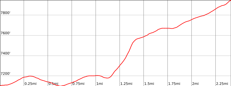
Pass through the gate and continue on 2N13 for 1.4 miles to junction with 2N70 on the left.
Cross the creek bed and follow the ducked route up the slope to where you cross a trail.
Turn right and follow the trail almost to its end.
Grays will be to your left, about 100 meters. Follow the use trail to the top.
Route Notes
Note: Route 2 has been gated and locked at the intersection of 2N13 /3N14 for a number of years following a fire in the area, and if the gate is locked, an additional 1.2 mile /100 ft gain road hike is required (one way).
Special conditions: There are many ducked routes in this area. Pay special attention to your route going up as this will make the return trip much easier.
Additional Peak Information
Notes: This peak is in fairly open country and can be climbed from many different directions.


You must be logged in to upload images.