Delamar Mountain

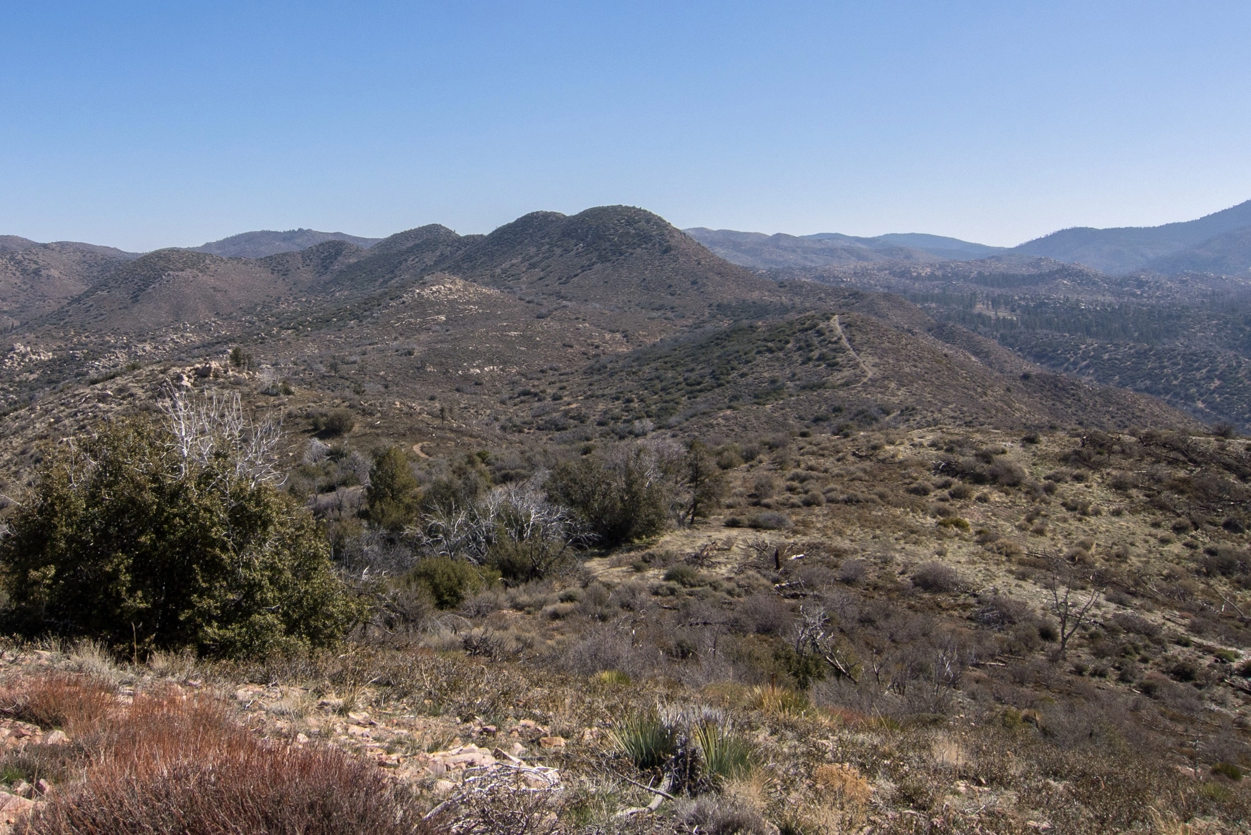
Delamar Mountain, taken from Hawes, Photo by Kathy Wing.

Peak Name

Delamar Mountain
21E

Elevation

8398

 feet

Status

active

Region

North Of Big Bear Lake

Range

San Bernardino Mountains

Nearby peaks

Location

34.290839,-116.9450344

Description

Delamar, likely named for an operator of one of the numerous gold mines in the area, overlooks beautiful Big Bear Lake to the south, serene Holcomb Valley to the north and east, and Fawnskin Valley to the west. Delamar is usually hiked together with nearby Little Bear Peak.

Route 1 is a short hike from the junction of 3N12 and the PCT. One can also hike to Delamar (and Bertha as well) from Big Bear Lake on the Cougar Crest Trail to join the PCT then on to Route 1. This is shown on the map.

Maps generated from CalTopo.com, reproduced with permission

Route 1
Elevation Gain
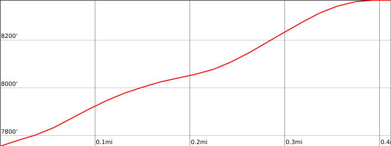
600′
Navigation Difficulty
Easy
Distance
1 mile round trip cross-country
Estimated time
1 hour round trip
Route Rating
Class 1, easy
Leader Rating Required
“I”, normal conditions

Driving route

Drive east on I-10 to I-215.
Drive north on I-215 to SR 210.
Drive east on SR 210 to SR 330.
Drive north on SR 330 to SR 18 at the town of Running Springs.
Drive east on SR 18 to the dam at Big Bear Lake. Turn left on SR 38.
Drive on SR 38 to Fawnskin. Turn left (northwest) on 3N14. Note your odometer and go as follows:
At 1.3 miles, fork with 2N13 to the left and 3N14 to the right. Go right.
At 1.8 miles, fork with Holcomb Valley Road, 3N12, to the right.
At 2.4 miles, fork. This is the turnoff for Little Bear Peak. Go right on 3N12.
At 3.6 miles, park at the cleared area at a saddle where the Pacific Crest Trail (PCT) crosses the road.

Hiking route

From the parking area (7800′), hike south up the opposite slope, bearing to the left on an old cat track.
Follow this about 1/4 mile to where it crosses a ridge.
Turn to the right up the ridge and go about 150 yards to another cat track.
Follow this cat track straight up the slope to the summit.

Route Notes

Printable Route

Road Type

Paved

Google Maps Link to Trailhead 

Additional Peak Information

Alternate routes: From the same parking area, go left on the PCT about 1/3 mile to where a jeep road goes uphill to the right. Follow the jeep road to the summit.

Special conditions: The dirt roads are seasonal.

Nearby Peaks

Backus Peak
Owens Peak
Black Mountain #5
Morris Peak

External Links

mountain 1

Peakbagger.com

Click Here

ranger-tower 1

Nearest ranger station

Click Here

g311

NOAA Forecast

Click Here

worldwide 1

Google Earth

Click Here

Photo Gallery