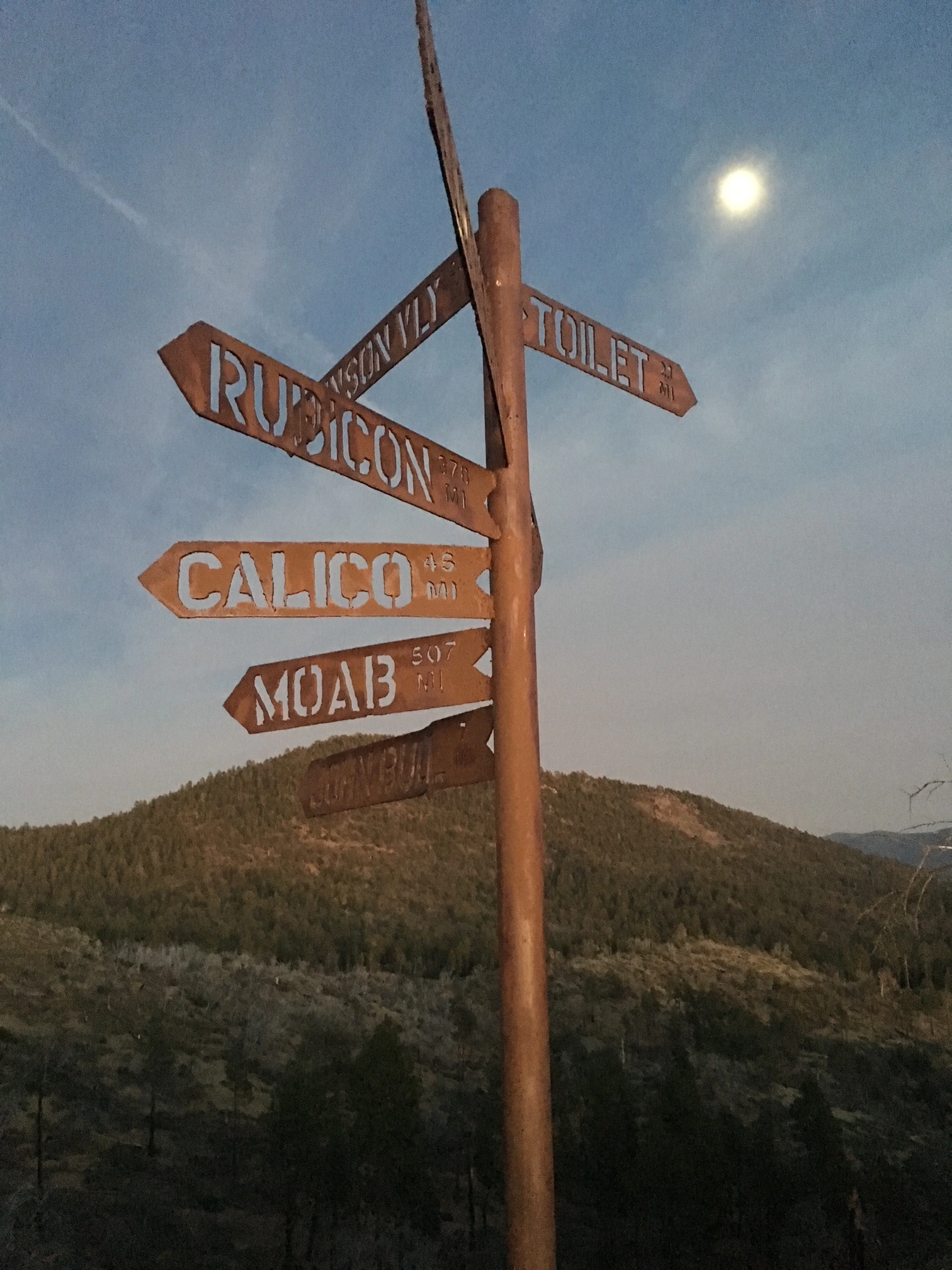
Interesting Signpost Near Little Bear, photo by Jim Hagar
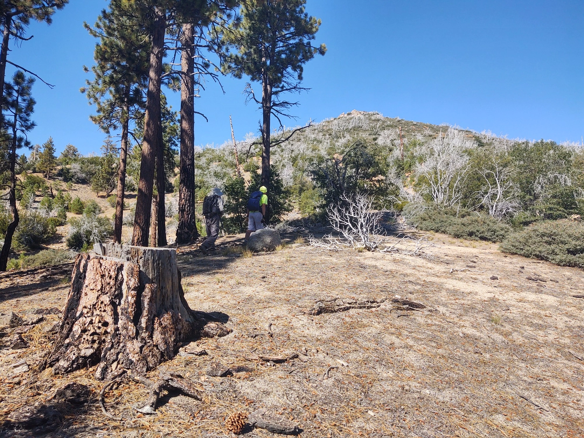
Littlebear, photo by Steve Russell


Peakbagger.com

Nearest ranger station

NOAA Forecast

Google Earth


