Peak Name
Elevation
feet
Status
Region
Range
Nearby peaks
Location
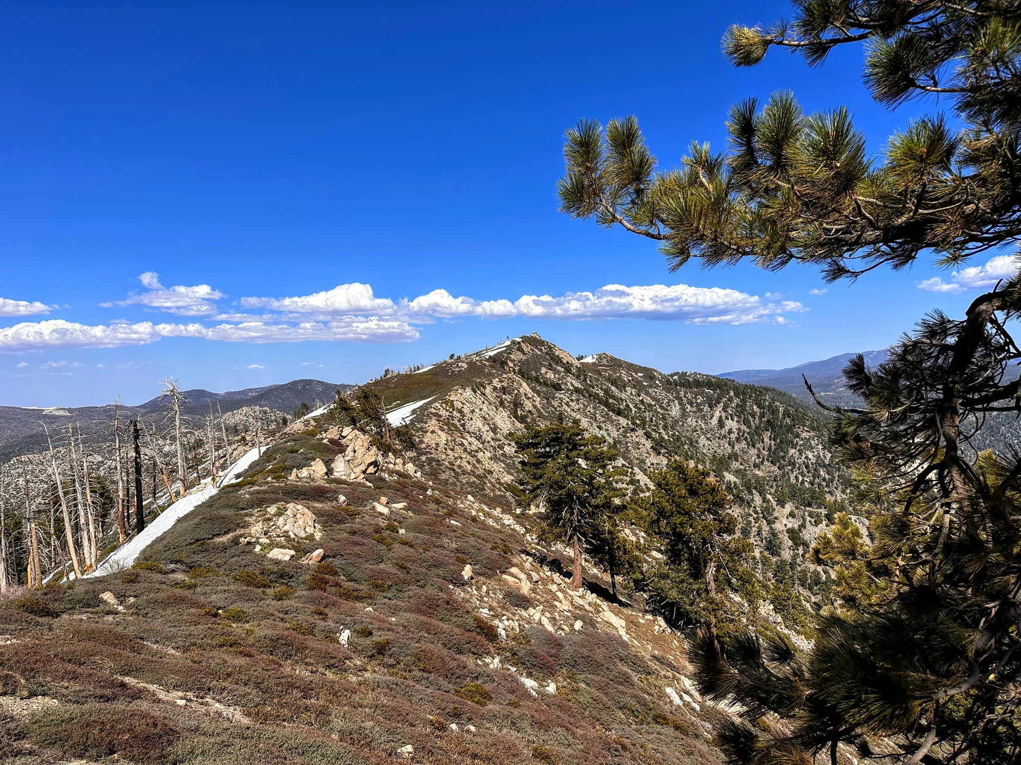
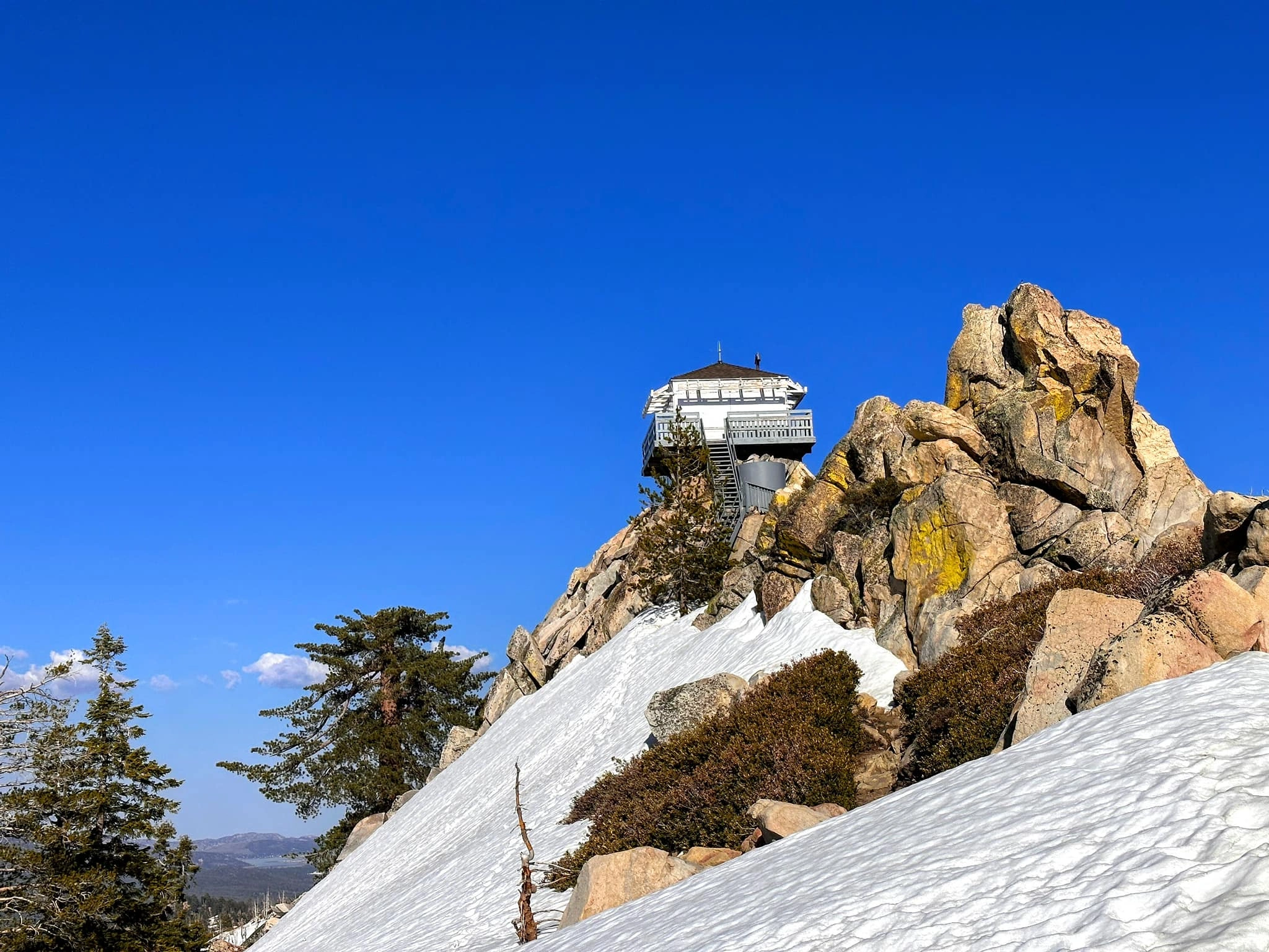
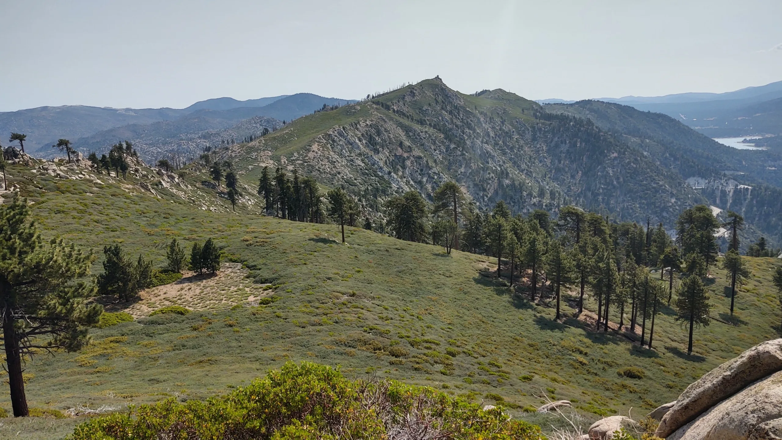
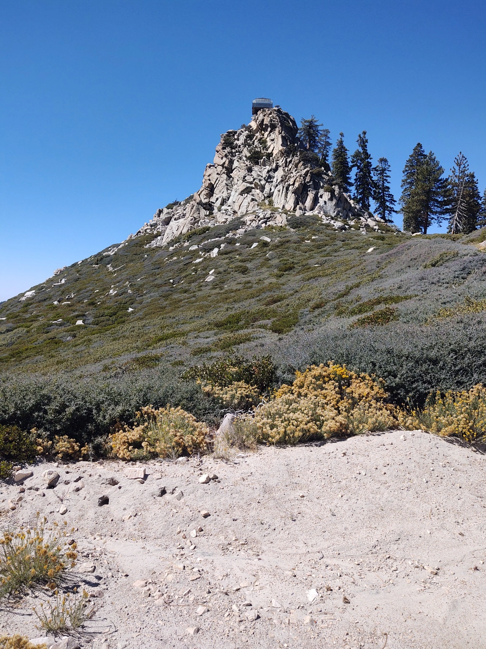
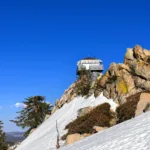
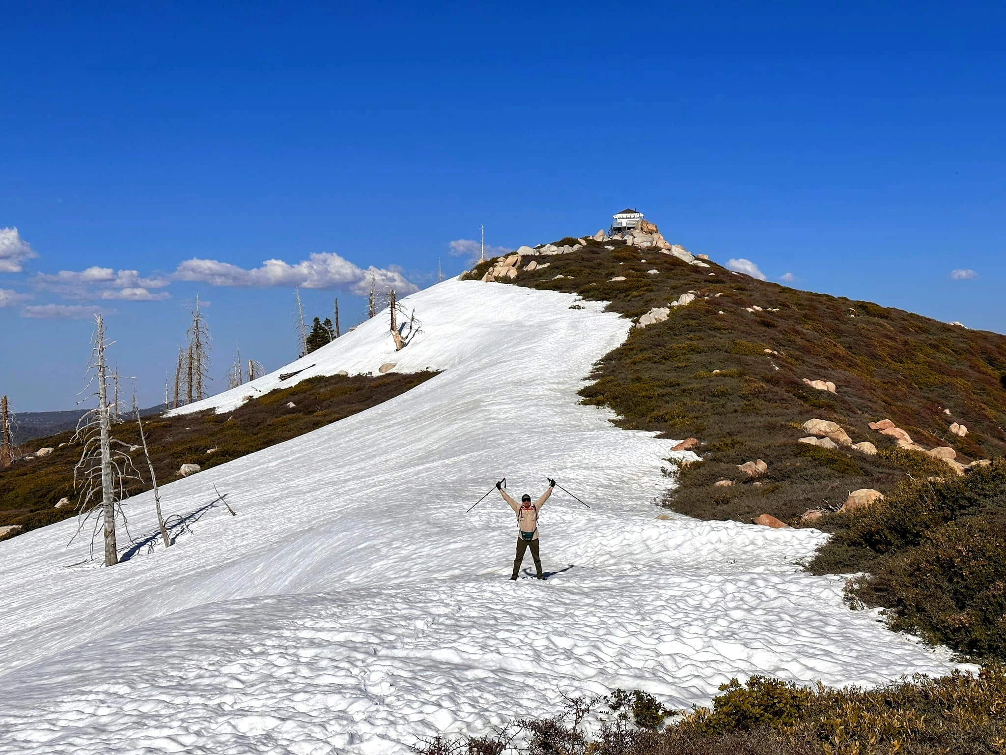
Butler Peak is home to Butler Lookout, built in 1935 by the CCC on a prominent rock outcropping overlooking Big Bear Lake. This area is the beginning of the transition zone between alpine-like pine forest and the desert environments further to the north. The lookout can be seen from all around the area and has inspiring views of the lake and the neighboring areas. It is one of six active fire lookouts operated and staffed by the Southern California Mountains Foundation during fire season. It is open to the public when staffed and is a popular destination.
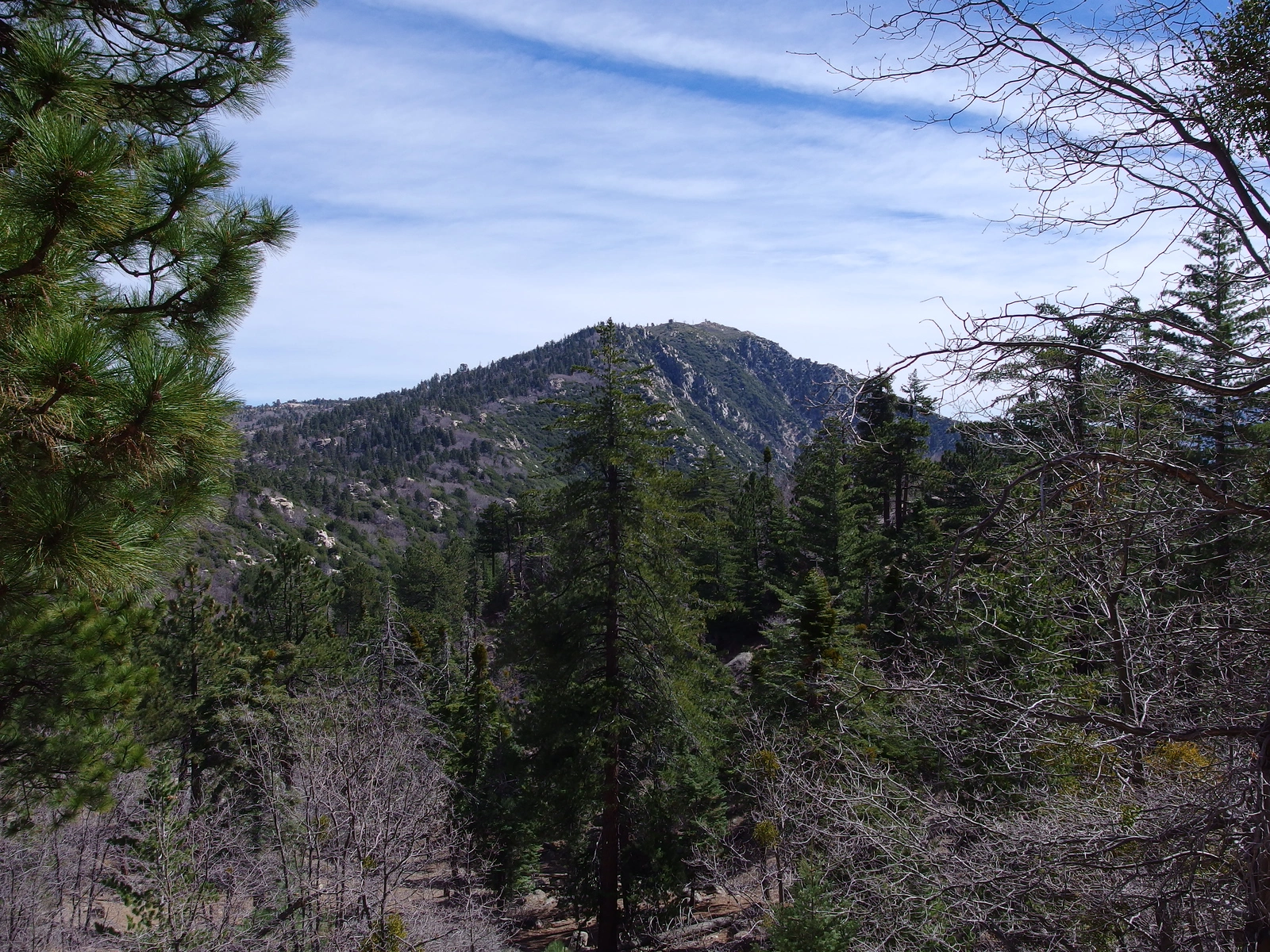
Butler is often hiked together with nearby Crafts Peak, Route 2, by driving 3 miles between trailheads. The ridge between Butler and Crafts makes an excellent snowshoe when snow is abundant, but is virtually impassable due to brush at other times.
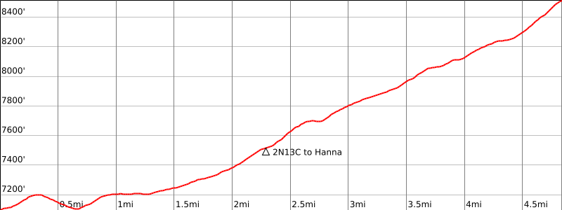
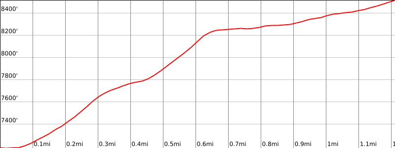
Route 1 as described starts from seasonal 2N13 and follows the road to the peak. If the gate is open and your vehicle is up to it, one can drive all the way to the lookout. Route 2 starts from a large turnout on Highway 18 and ascends a steep ridge that is very brushy in places to join Route 1.
Maps generated from CalTopo.com, reproduced with permission
Driving route
Drive east on I-10 to SR 210.
Drive north on SR 210 (signed “West”) to SR 330.
Drive north on SR 330 to SR 18 at the town of Running Springs.
Drive east on SR 18 to the dam at Big Bear Lake. Turn left on SR 38.
Drive on SR 38 to Fawnskin. Turn left (northwest) on 3N14.
Note your odometer and go as follows:
At 1.3 miles, fork with 2N13 to the left and 3N14 to the right with a locked gate. Park here.
Hiking route
Pass through the gate and continue on 2N13. At 1.2 miles continue past the intersection with 2N70. This is the trailhead for Grays Peak.
At 2.6 miles, turn left at the fork onto 2N13C.
Continue to a parking lot and climb to the fire lookout.
Note: The gate to 2N13 is subject to seasonal closures. If open, one can drive all the way to the lookout with a high clearance vehicle.
Driving route
Drive east on I-10 to SR 210.
Drive north on SR 210 (signed “West”) to SR 330.
Drive north on SR 330 to SR 18 at the town of Running Springs.
Drive east on SR 18 to the entrance of Snow Valley and 1.8 miles farther to Lake View Point Saddle. This is the parking area for Crafts Peak.
Continue east on SR 18 for 3.2 miles to Call Box 18-424. Park here.
Note: This is also the only place along this section the highway where a road heads south, Glory Ridge road. There is plenty of parking at this location.
Hiking route
From the parking area (7180′), cross to the north side of the highway to a road sign just to the east of the road curve. Use extreme caution when crossing the highway. Cross at a point where you can see traffic in both directions. If in a group, cross at the same time.
From the road sign, go up the hill side and hike up to the main ridge on the left.
Once on the ridge, turn right (north) and follow the communication poles (be careful to watch for downed wires on the ground) up to dirt road 2N13C at about 8200′. This point is 1 mile from the trailhead.
Turn left (west) and follow this road ¼ mile to a parking lot at a fire lookout.
From the parking lot, climb up to the lookout.
Route Notes
Additional Peak Information
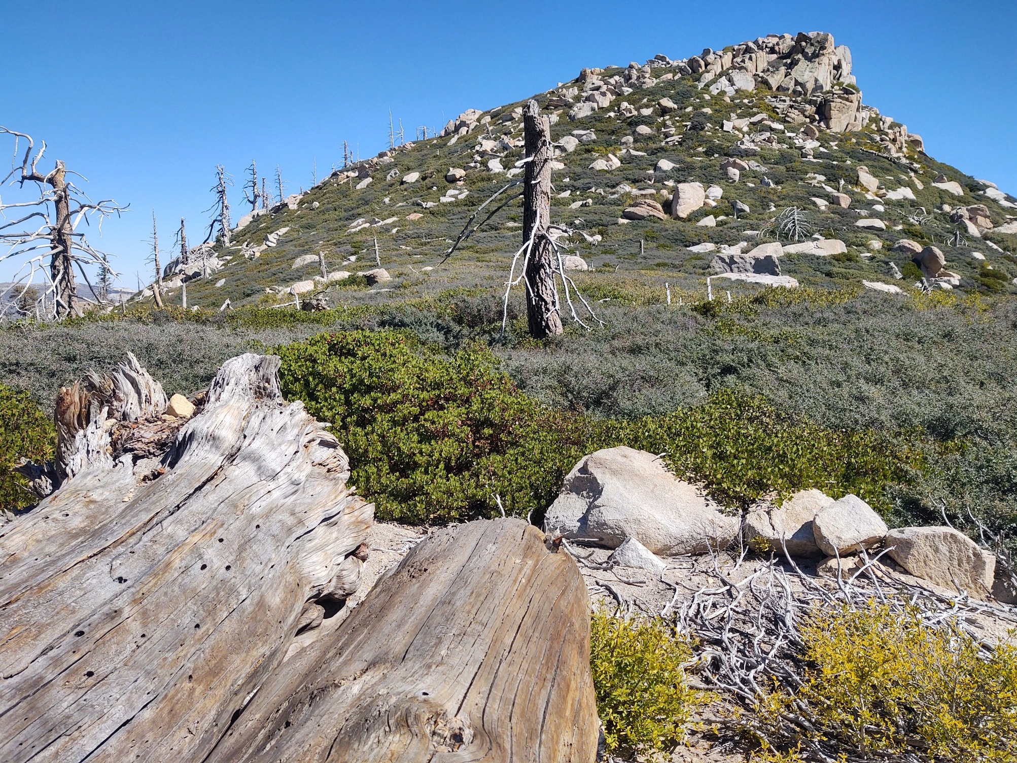
Alternate routes: The ridge from Crafts Peak is very brushy, making it much more difficult than it looks. However, it can be done on snowshoes rather easily if there are three or more feet of snow. The ridge to route 2 is also very brushy.


You must be logged in to upload images.