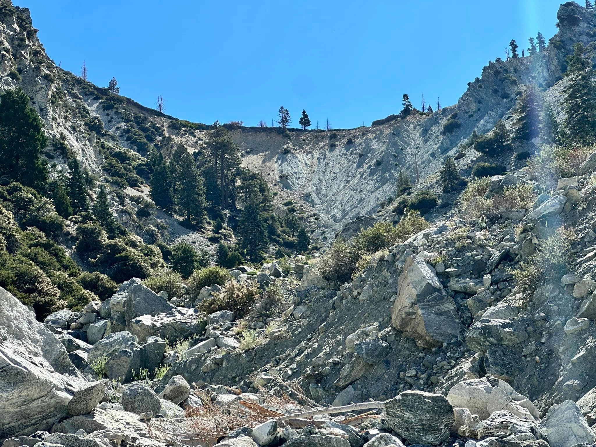
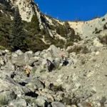
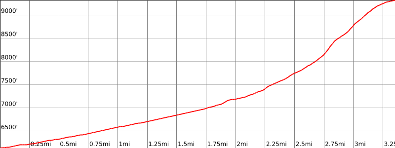
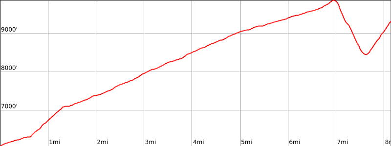
Galena Headwall, photo by Sunny Yi
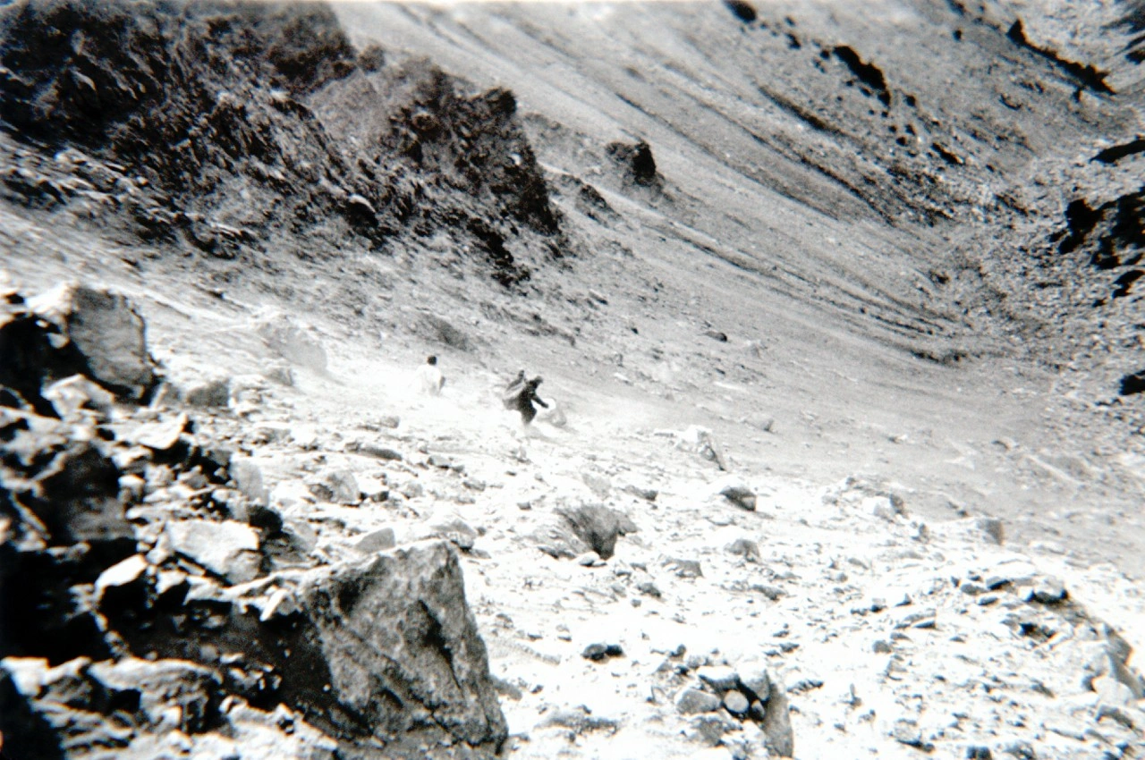
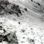
Descending the Galena headwall, sierra Club trip 1933, photo by Angeles Chapter Sierra Club Archives
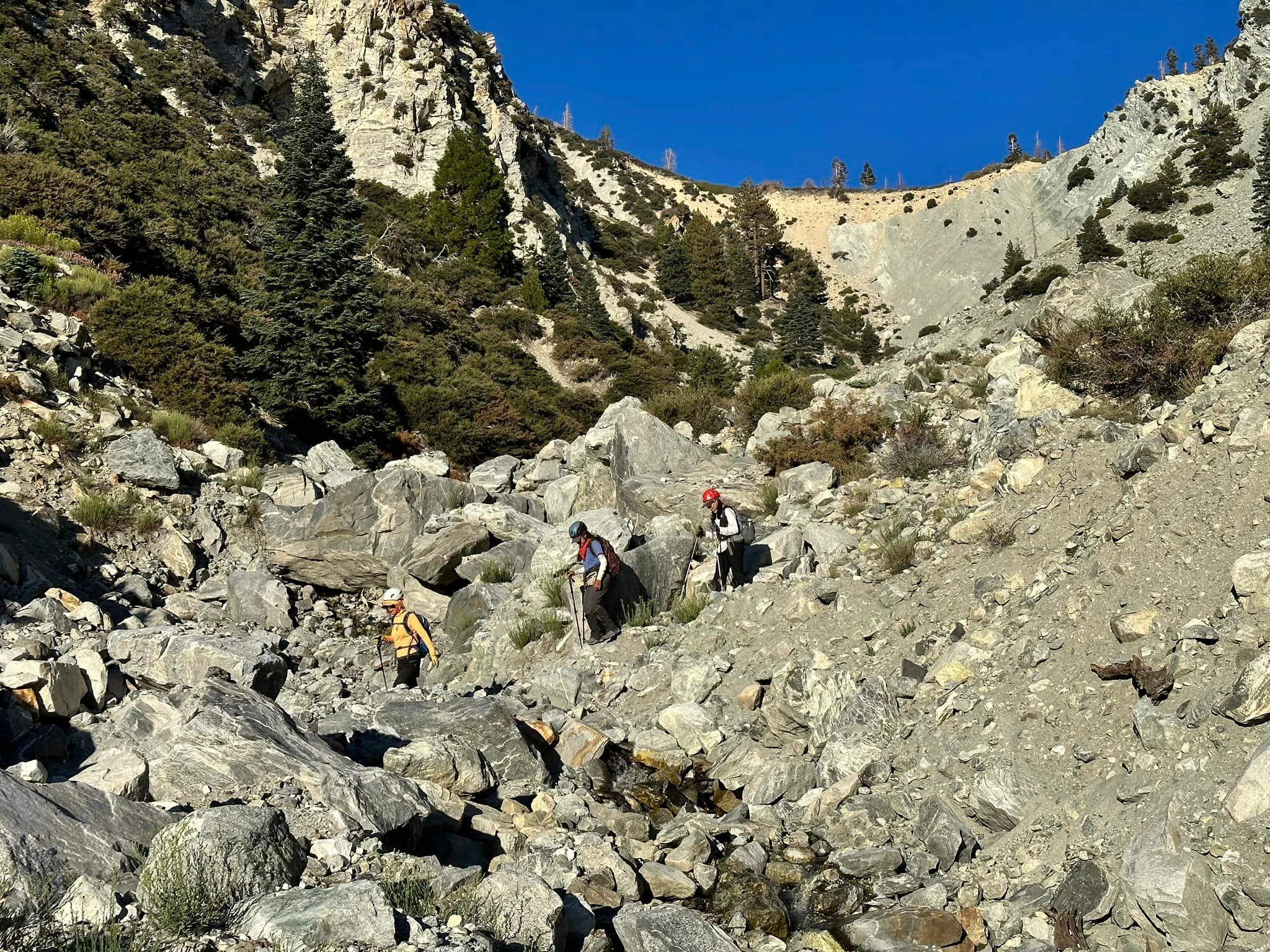
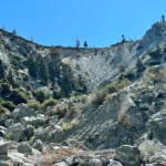
The infamous Galena Headwall, photo by Jason Park
Galena Wildl And Sconservancy.Org Do Not Use.Jpeg, photo by Wildlands Conservancy


Peakbagger.com

Nearest ranger station

NOAA Forecast

Google Earth


