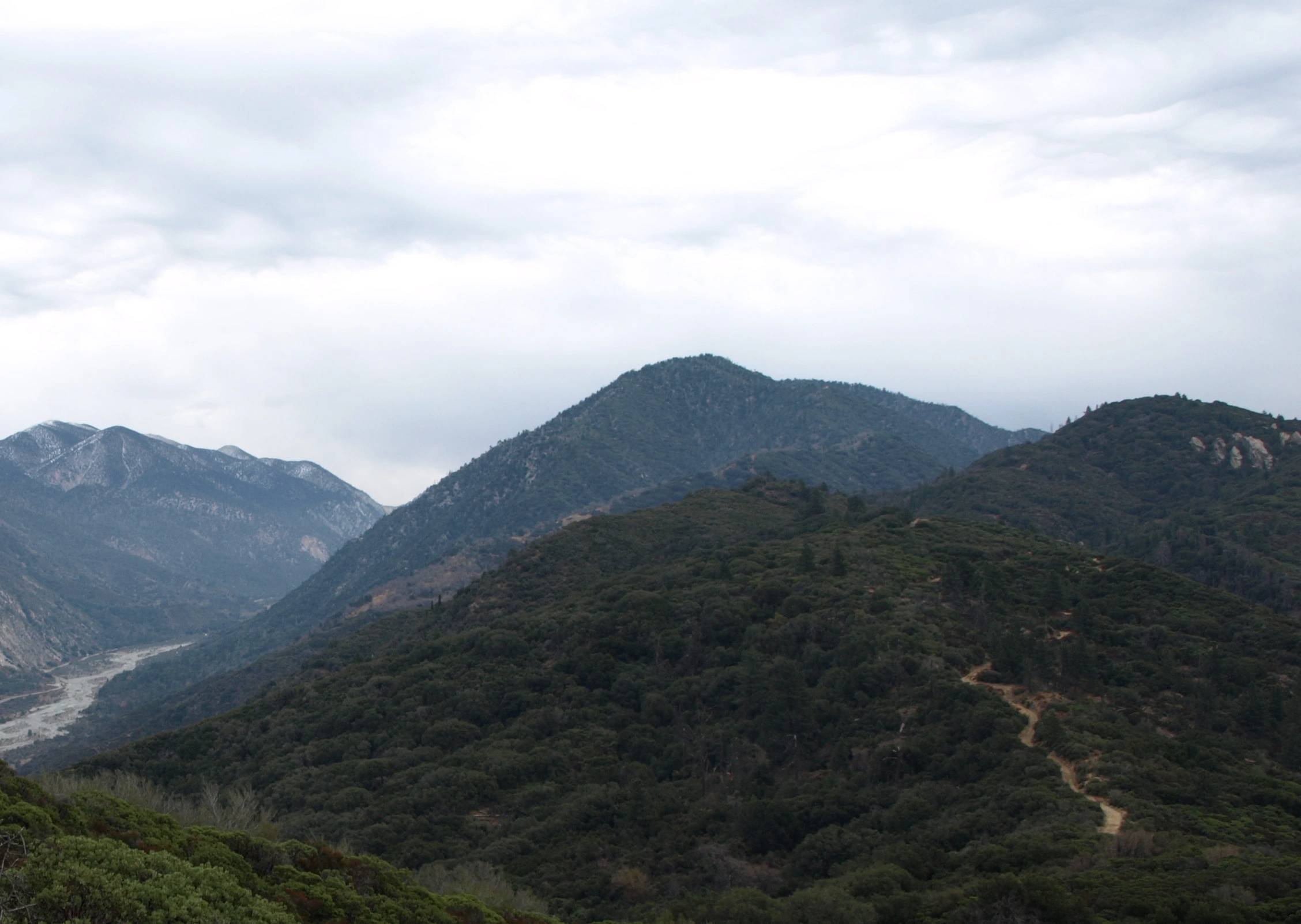
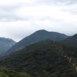
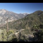
Birch with Allen to the right, taken from Mill Creek, photo by Kathy Wing
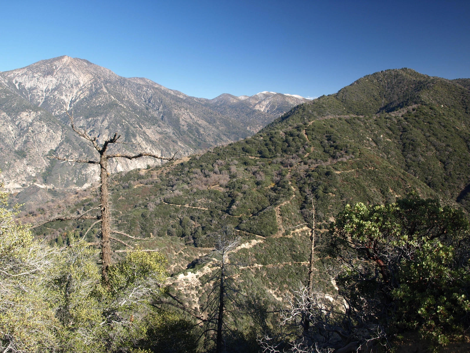
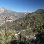
Birch, taken from Allen, photo by Kathy Wing
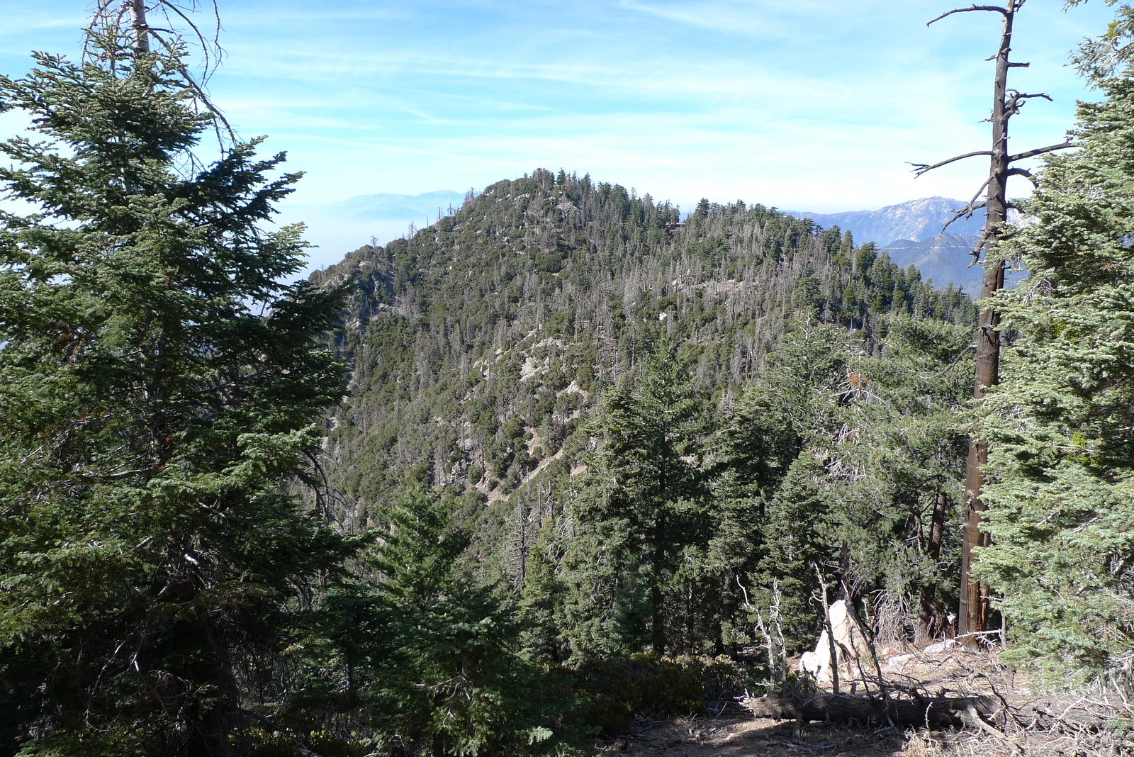
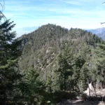
Birch, taken from Cedar, photo by Kathy Wing
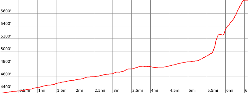
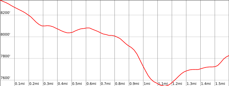
Screenshot
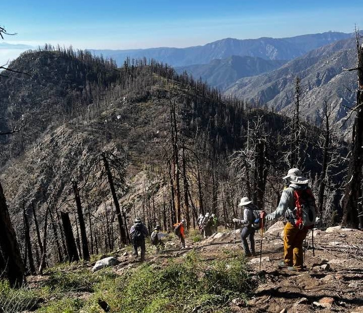
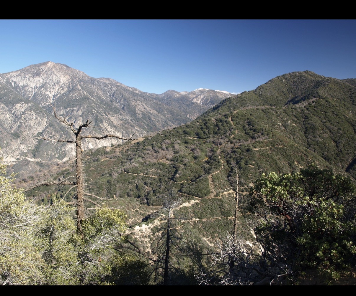
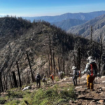
Approaching Birch Mountain from Cedar, photo by Sharon Moore


Peakbagger.com

Nearest ranger station

NOAA Forecast

Google Earth


