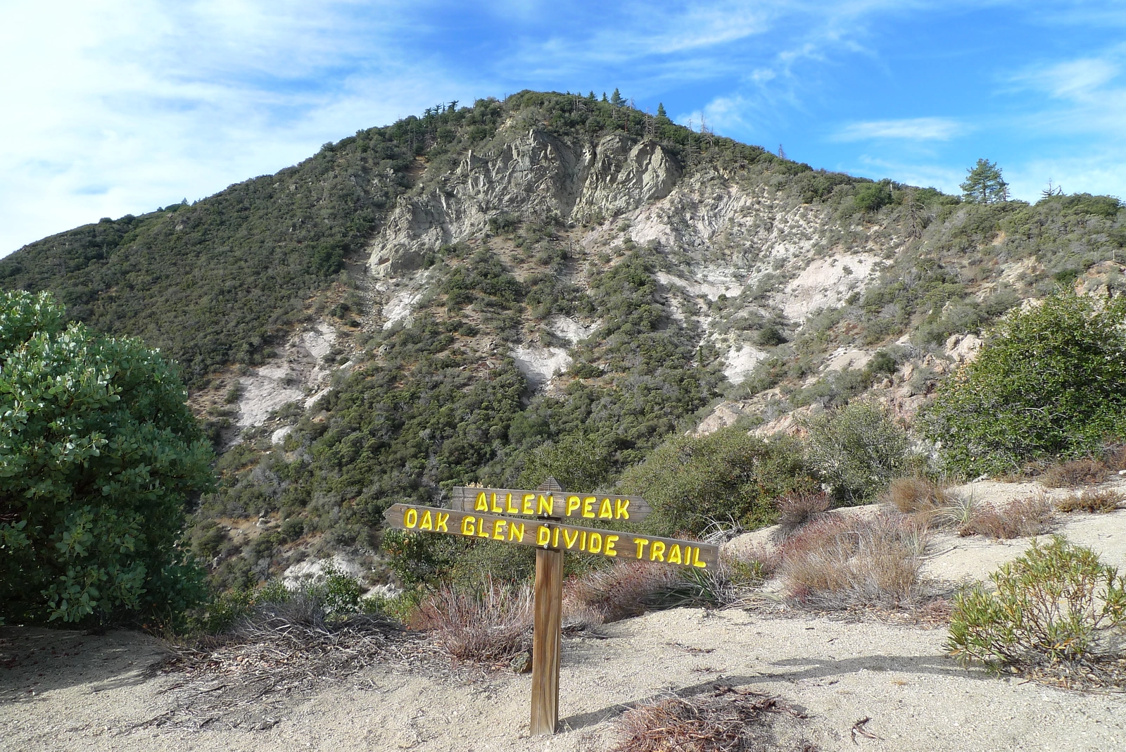
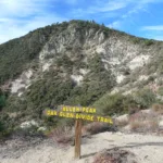
Allen Peak, photo by Kathy Wing
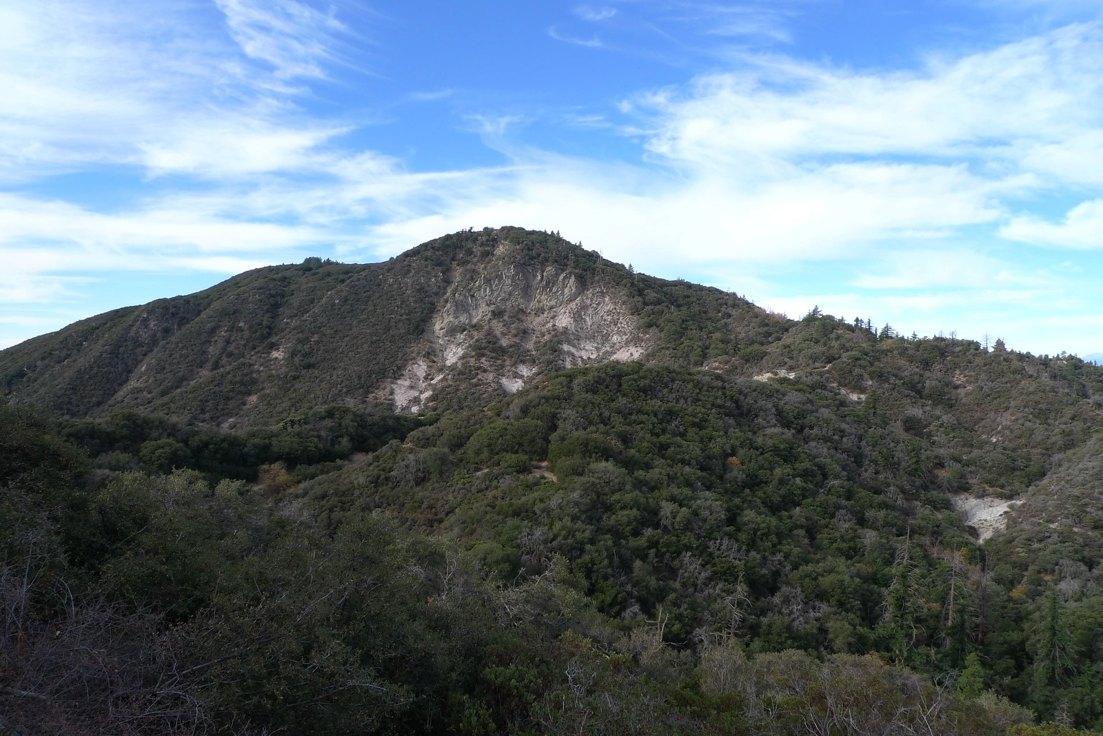
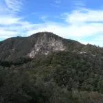
Allen, taken from Saddle, photo by Kathy Wing
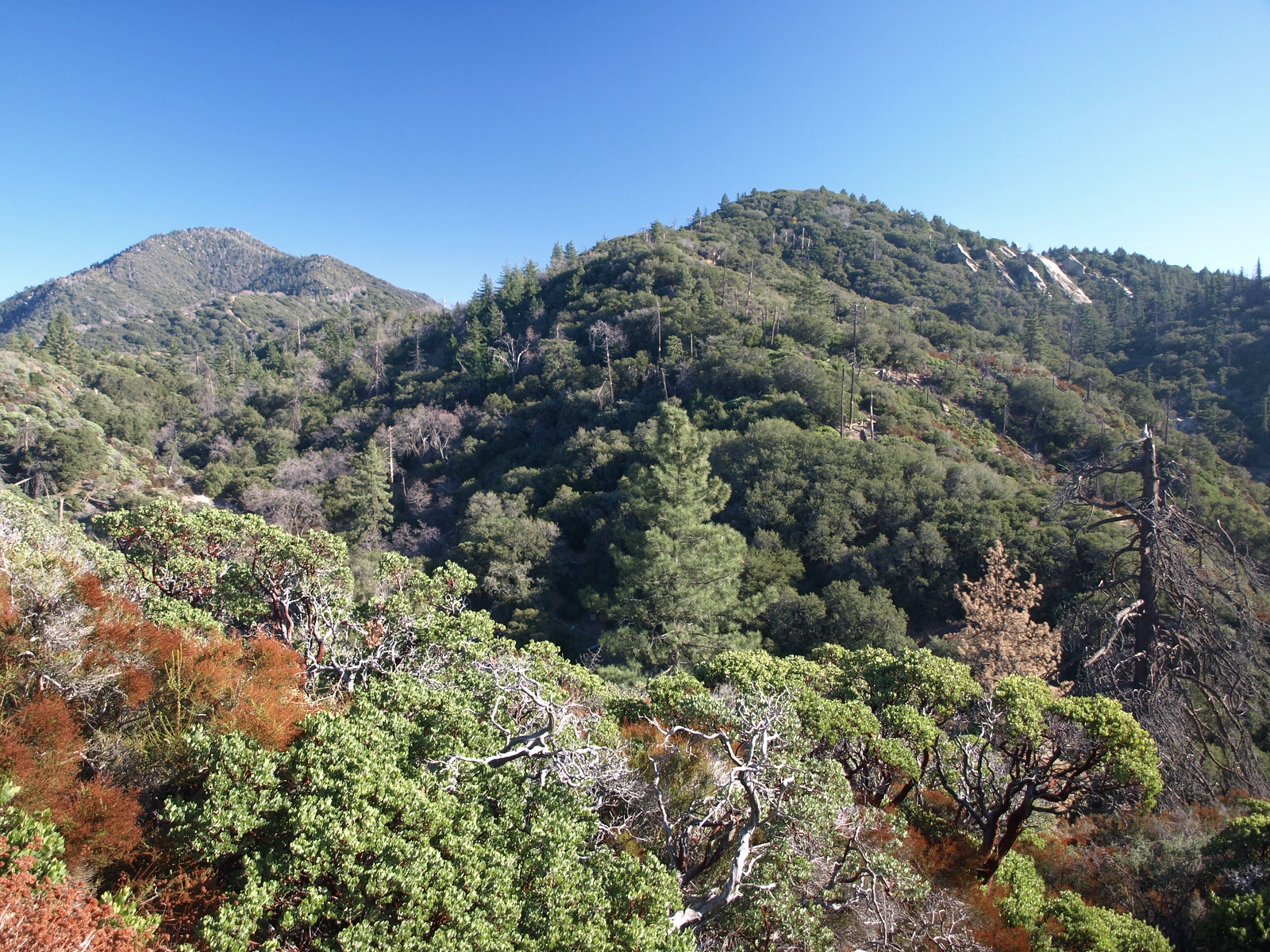
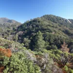
Allen, taken from West, photo by Kathy Wing
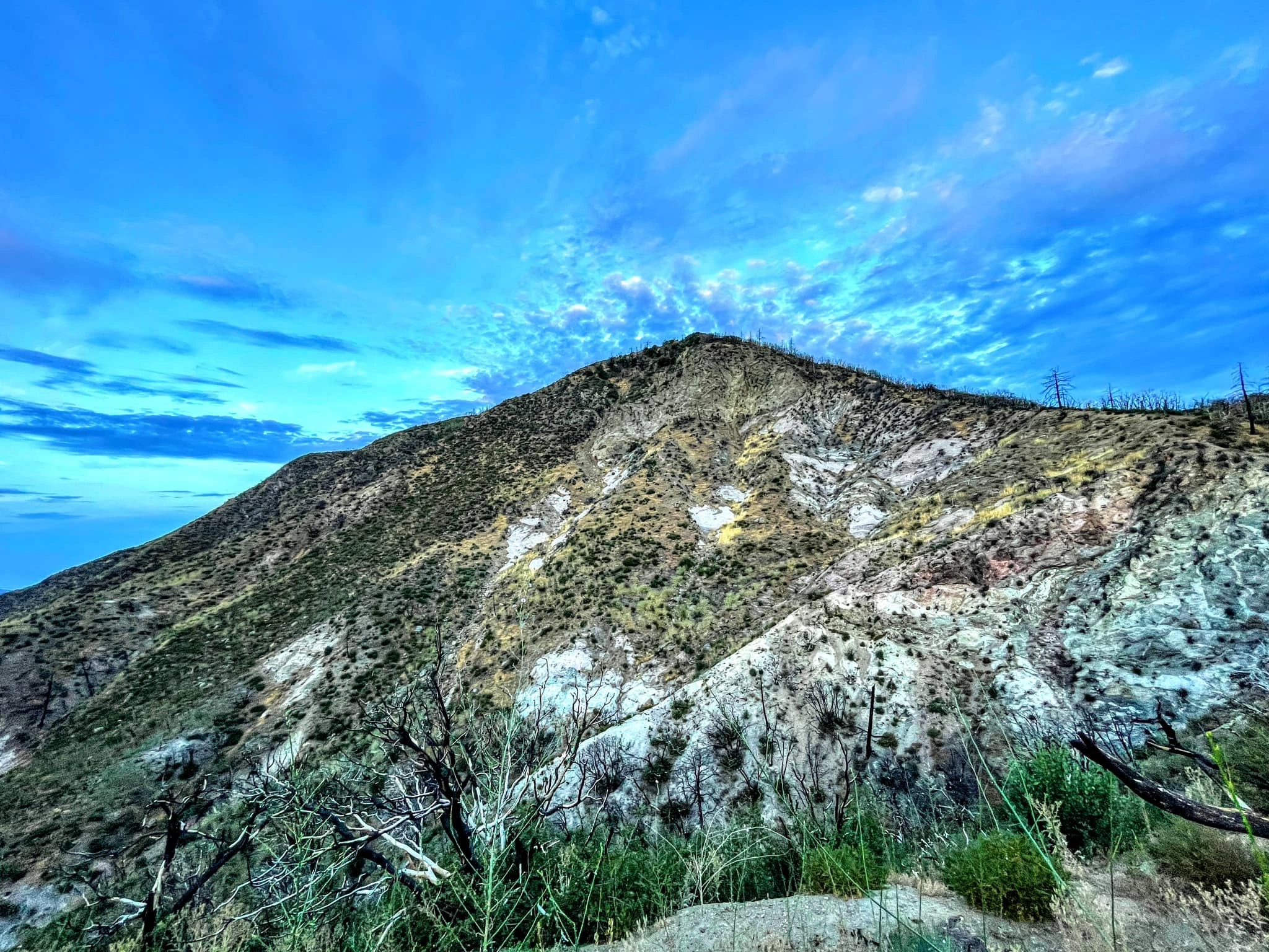
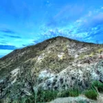
Allen, photo by Sunny Yi


Peakbagger.com

Nearest ranger station

NOAA Forecast

Google Earth


