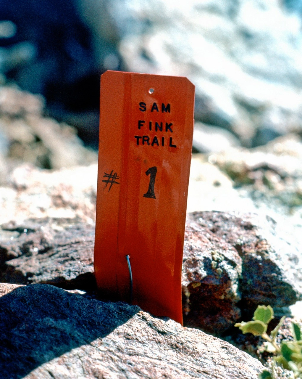
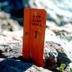
Marker on the Sam Fink Trail, which would become part of the PCT, 1973, photo by Angeles Chapter Sierra Club Archives
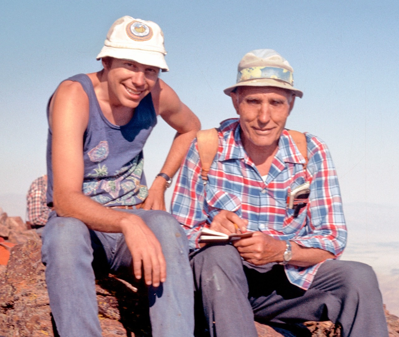
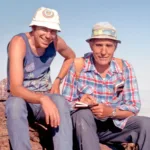
R. S. Sam Fink with Bob Cates 1973, photo by Bob Cates
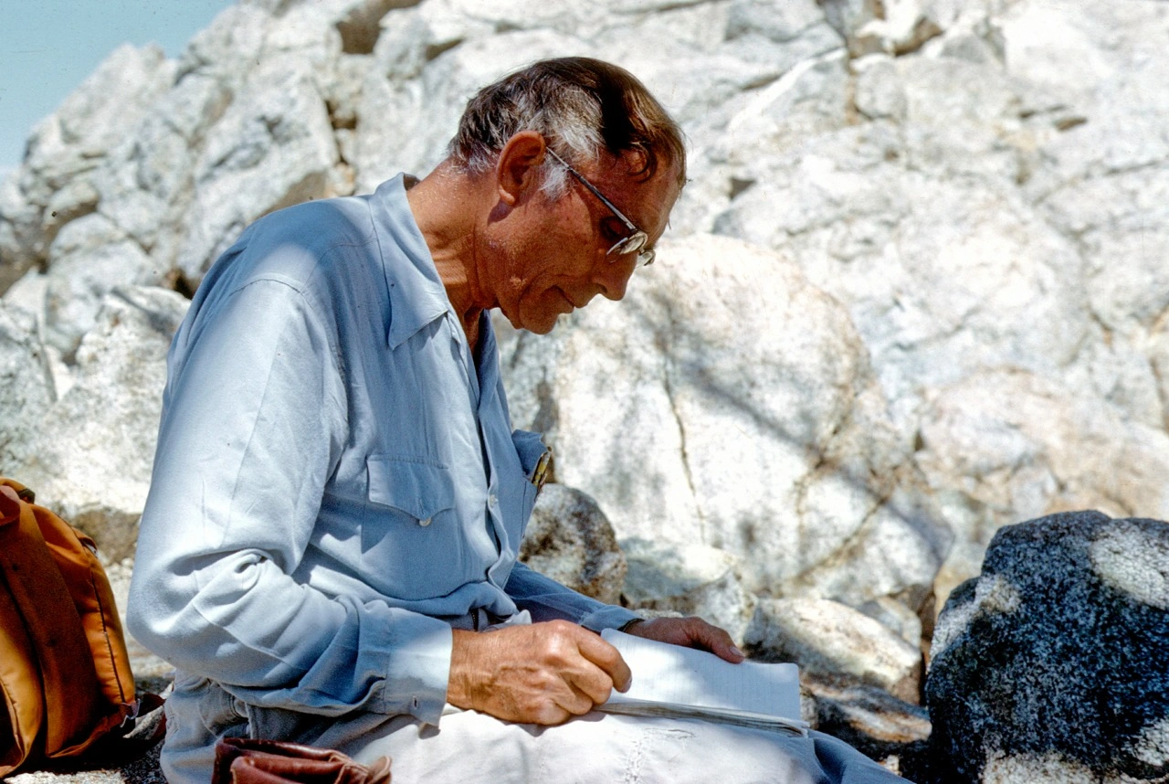
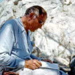
R.S. Sam Fink on Ontario Peak 1972, photo by Angeles Chapter Sierra Club Archives
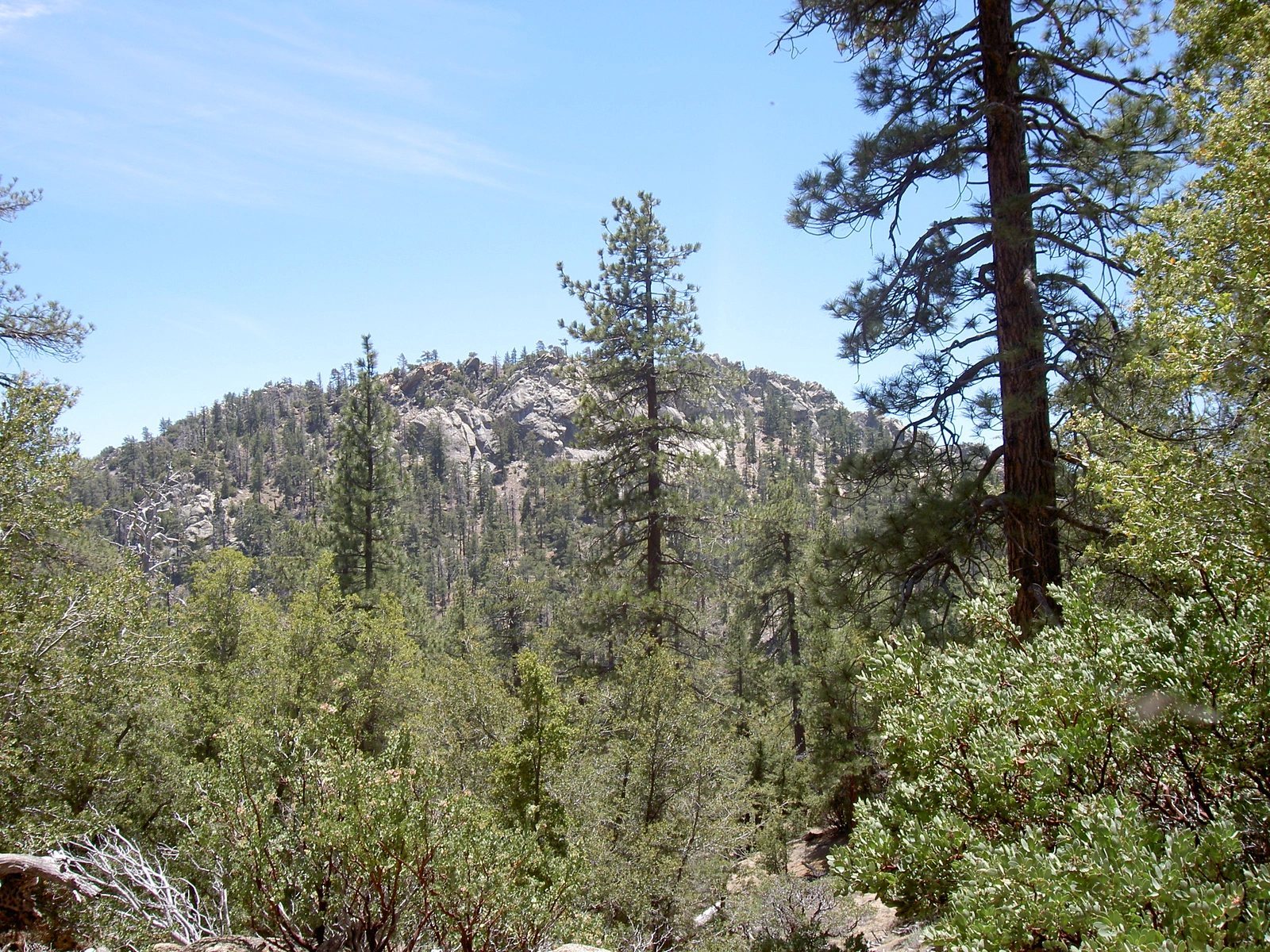
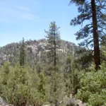
Sam Fink Peak, photo by Kathy Wing


Peakbagger.com

Nearest ranger station

NOAA Forecast

Google Earth


