Peak Name
Elevation
feet
Status
Region
Range
Nearby peaks
Location
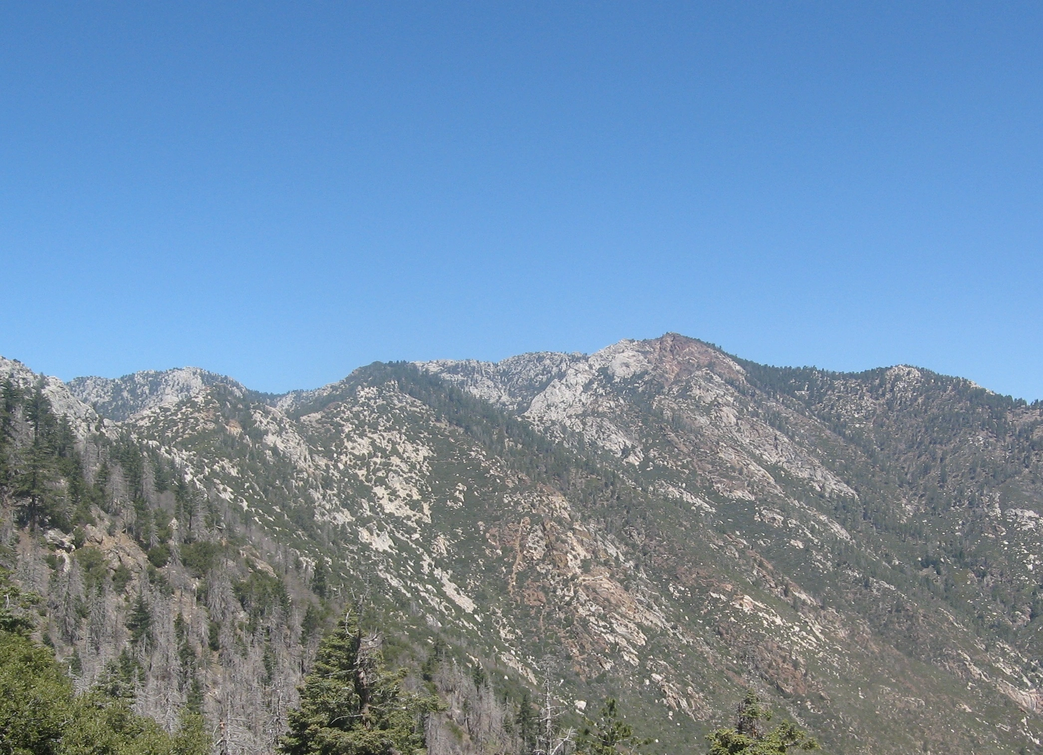
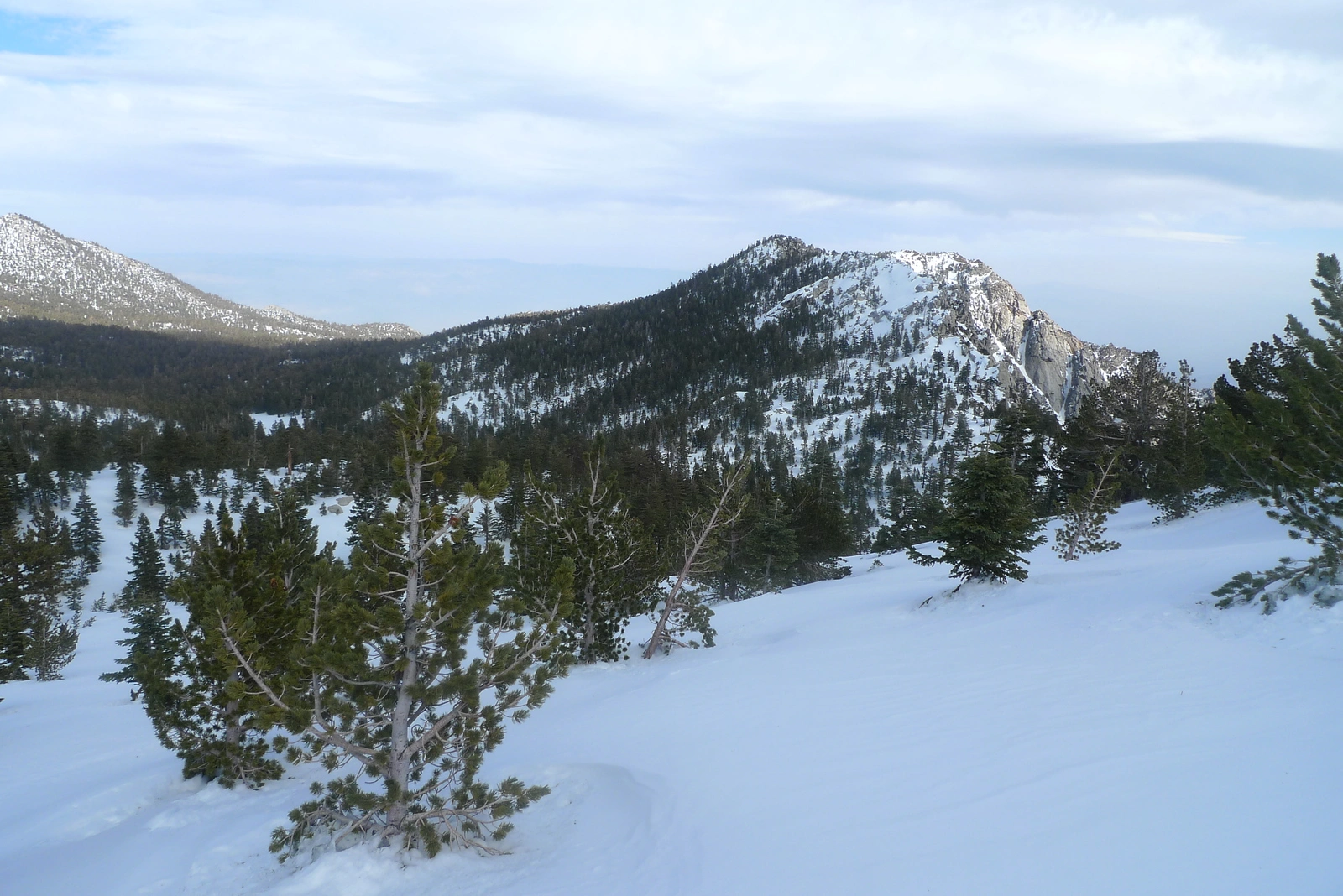
This rugged peak with its beautiful red coloration comes from red granite and ancient volcanic rock found only in this area. It has unique views of the eastern parts of the San Jacinto Wilderness, the Desert Divide, and the Palm Springs area.
Route 1 starts from Humber Park at the upper parking area at the Devil’s Slide Trailhead and continues as described. It is easy to add a side trip to Tahquitz Lookout, or one may also extend their outing by continuing on to South Peak, being mindful of the additional gain on your return.
Maps generated from CalTopo.com, reproduced with permission
Driving route
Drive I-10 to Banning. Exit at 8th Street (SR 243). Note your odometer and go as follows:
At 0.2 mile, turn left.
At 0.7 mile, turn right on San Gorgonio Avenue.
At 1.4 miles, keep left on SR 243.
At 25.0 miles, Idyllwild Ranger Station (San Bernardino National Forest) on the left. Turn left on Pine Crest Avenue. Note your odometer and go as follows:
At 0.6 mile, intersection. Make a half right on South Circle Drive.
At 0.7 mile, Fern Valley Drive on the left with a sign “Humber Park”. Turn left.
At 1.2 miles, fork. Keep left.
At 2.2 miles, trailhead on the left. This is the climber’s trail for Suicide Rock. Keep straight.
At. 2.6 miles, Humber Park. Park here.
Hiking route
The Devils Slide Trail begins at the upper right corner of the parking lot.
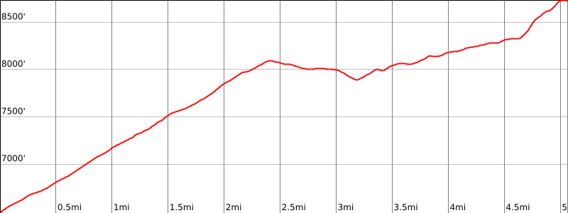
From this trailhead (6440′), hike up the trail 2 1/2 miles to Saddle Junction (8040′). At this point there are four trail choices. Take the second trail from the right with a sign “Tahquitz Valley”.
Go 0.6 mile to another junction with a sign “Tahquitz, Skunk Cabbage Meadow”. Go right at this junction.
Go another 0.6 mile to another junction signed “Tahquitz Peak, Tahquitz Meadow”. This is the Pacific Crest Trail (PCT) marked by a square post.
Turn left and follow it along the north side of Red Tahquitz for about 3/4 mile to a shallow saddle with a rock outcrop about 100 yards to the left (east). There may be a duck on the right of the trail here.
Turn right and follow a use trail south-southeast up the slope to the summit.
Additional Peak Information
Special conditions: Wilderness permits are required under all circumstances. Permits are limited to 12 hikers. Permits may be obtained from the Idyllwild Ranger Station just off SR 243 at 54270 Pine Crest Road. There is a self-issue permit stand outside of the ranger station. The weekend quota for the Devil’s Slide Trail is usually filled in advance during the summer months. Permits for the South Ridge Trail are much easier to obtain. Permits may be obtained in advance from:
San Jacinto Ranger District
54270 Pinecrest
P.O. Box 518
Idyllwild, CA 92549
Voice: (909) 382-2921
Fax: (951) 659-2107


You must be logged in to upload images.