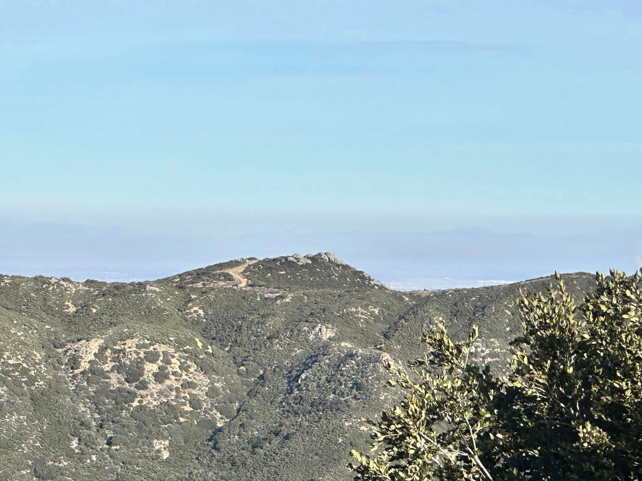
Cleghorn Mountain, photo by Sunny Yi
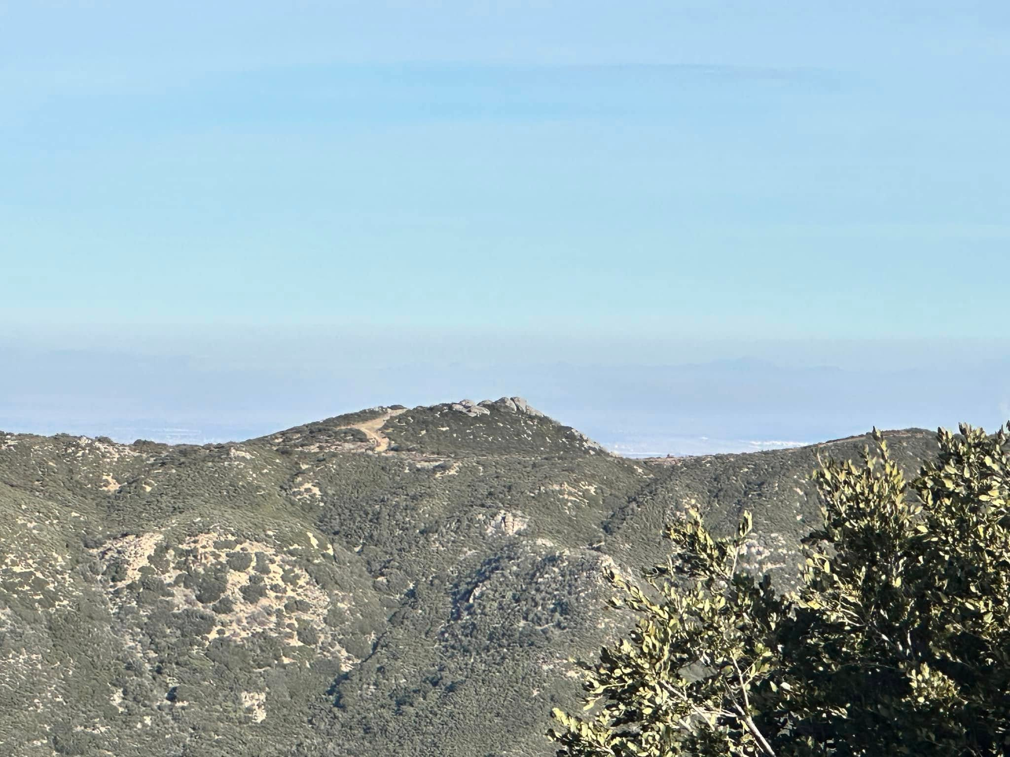
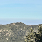
Cleghorn Mountain summit, photo by Sunny Yi
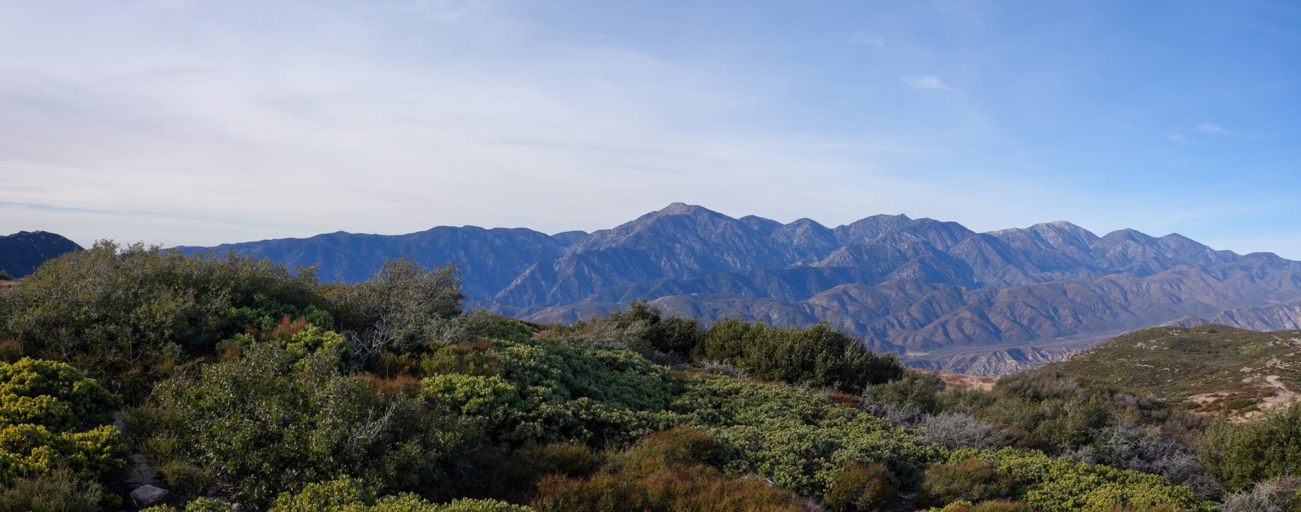
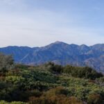
Cucamonga Peak, view from Cleghorn, photo by John Sheehe


Peakbagger.com

Nearest ranger station

NOAA Forecast

Google Earth


