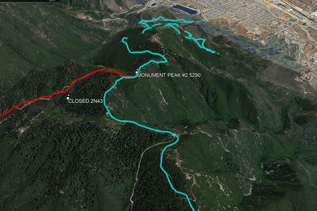
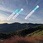
Monument Peak #2, photo by Google Earth
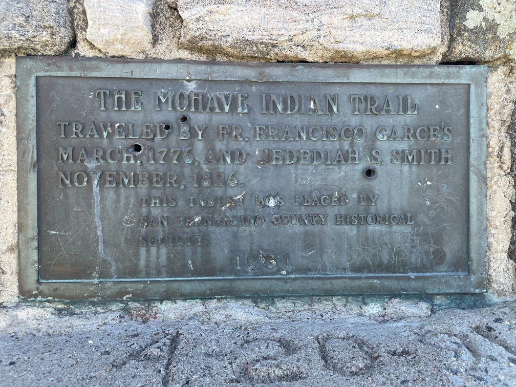
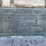
Plaque on the summit of Monument #2 recognizing the Anza Expedition and indigenous trade routes, photo by Jim Hagar
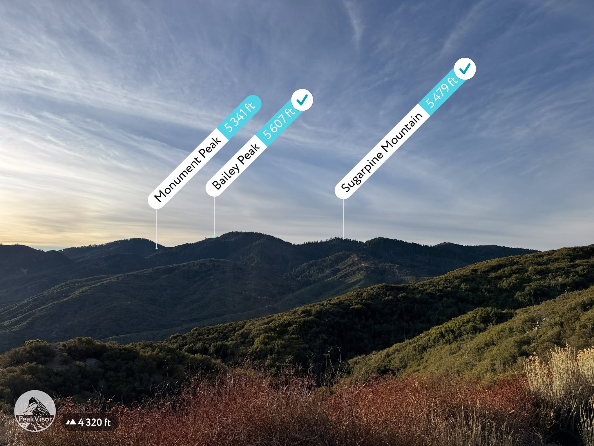
Monument, Bailey, and Sugarpine, from the road on the way to Cajon. Photo by John Sheehe


Peakbagger.com

Nearest ranger station

NOAA Forecast

Google Earth


