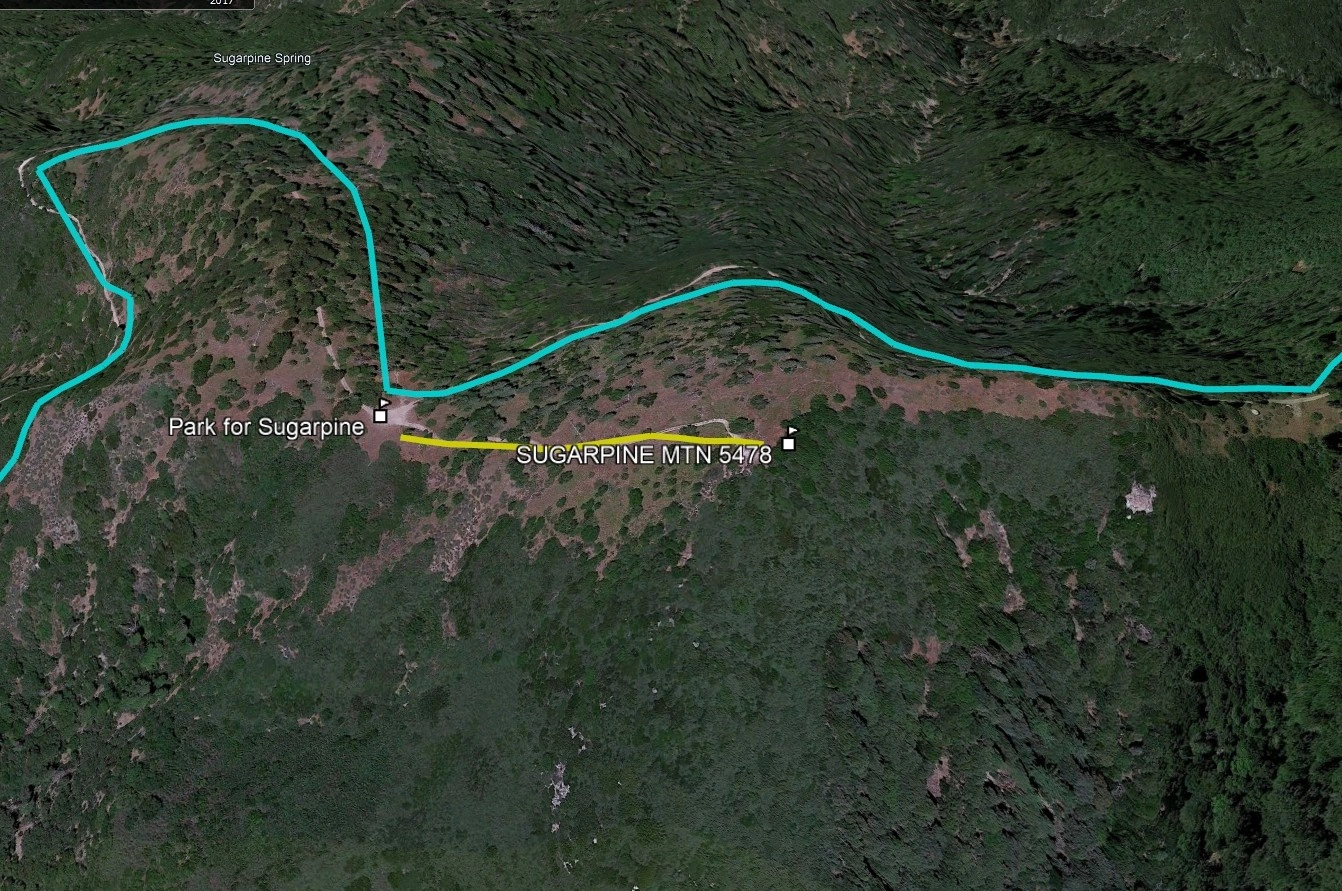
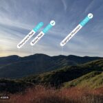
Sugarpine Mountain, photo by Google Earth
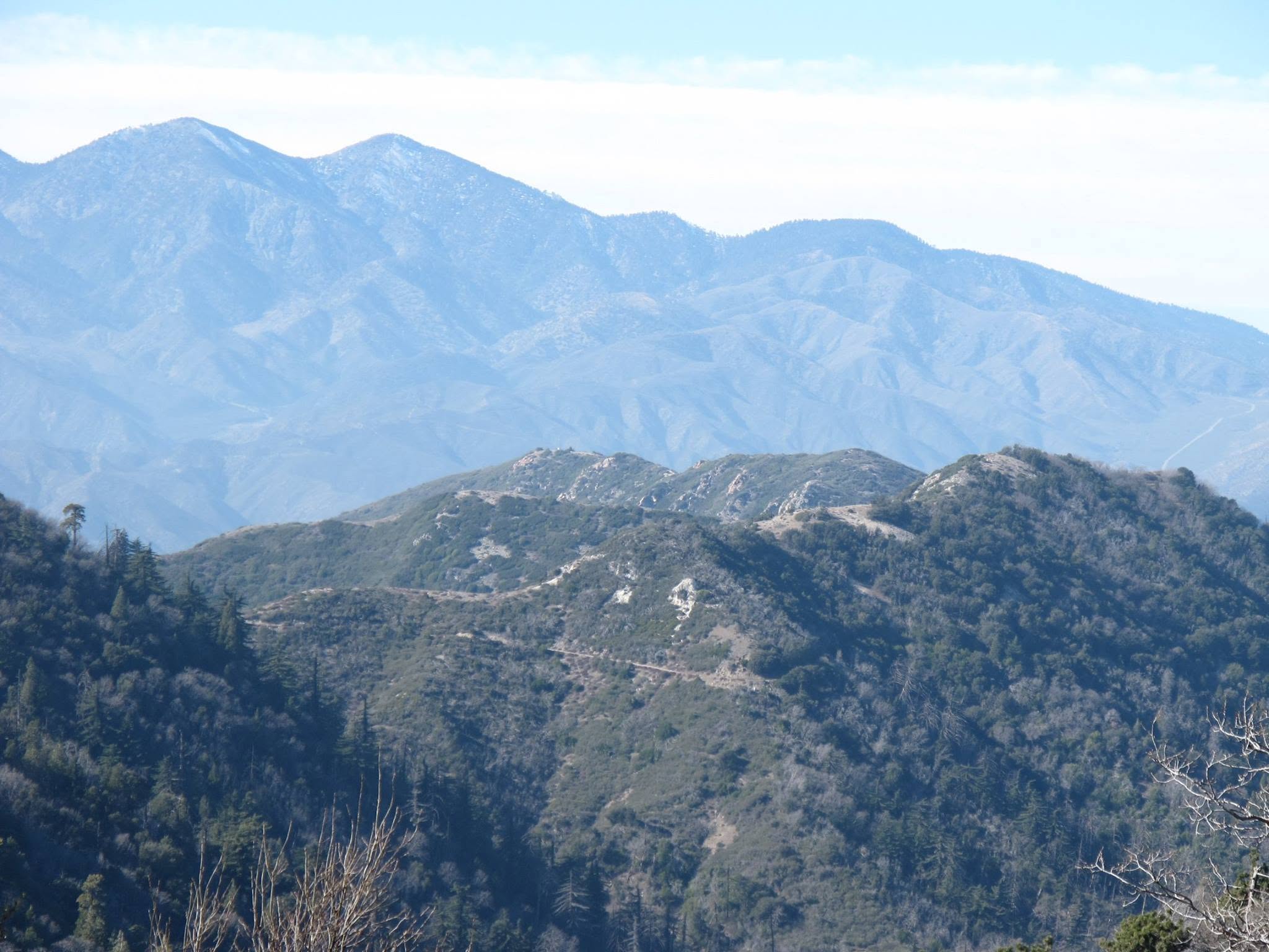
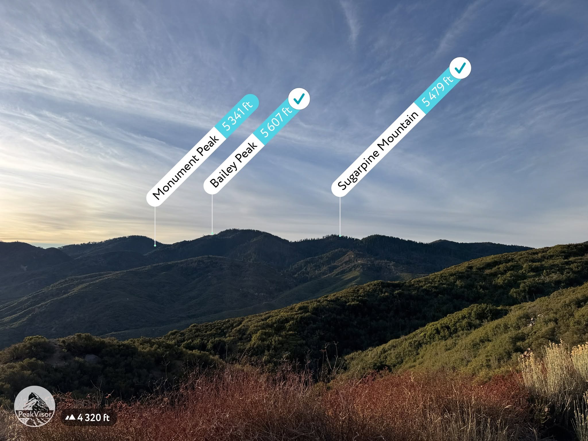
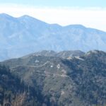
Monument, Bailey and Sugarpine from the road in. Photo by John Sheehe


Peakbagger.com

Nearest ranger station

NOAA Forecast

Google Earth


