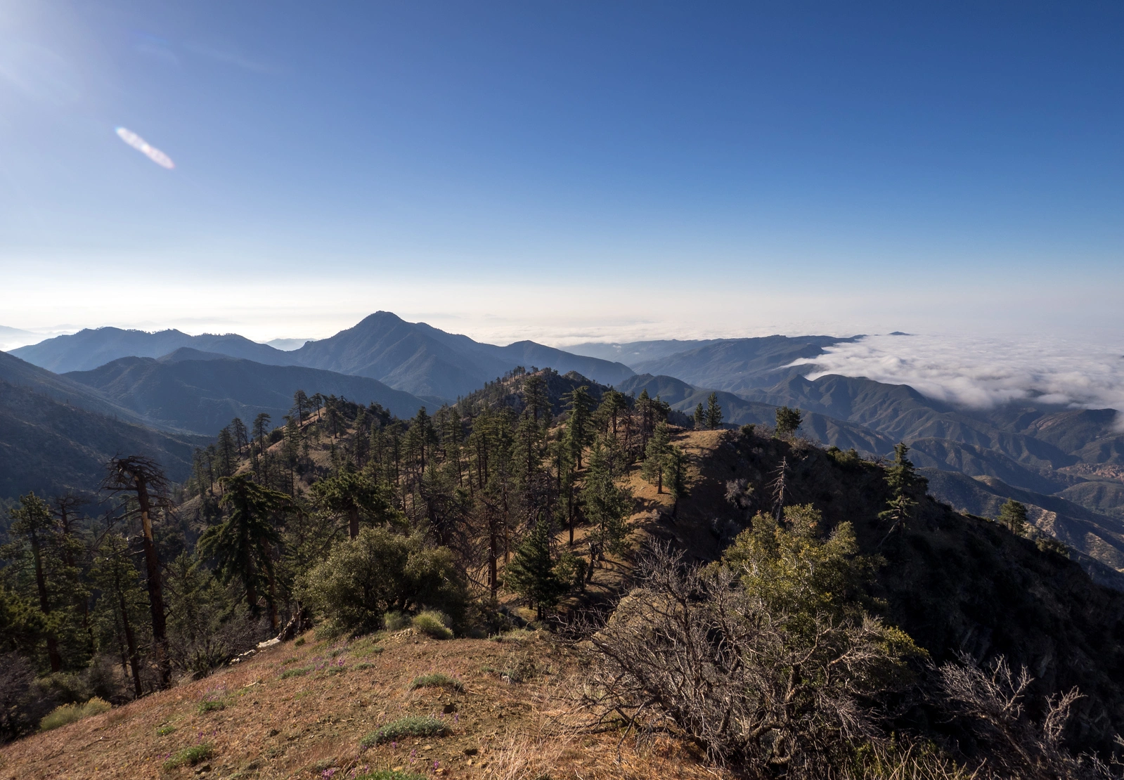
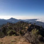
Cobblestone and White, taken from McDonald, photo by Kathy Wing
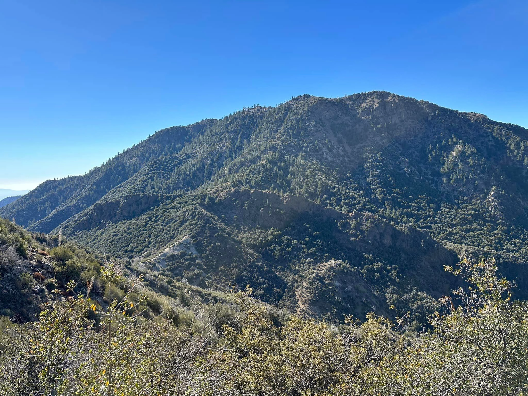
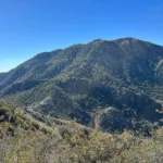
Cobblestone Mountain, photo by Sunny Yi
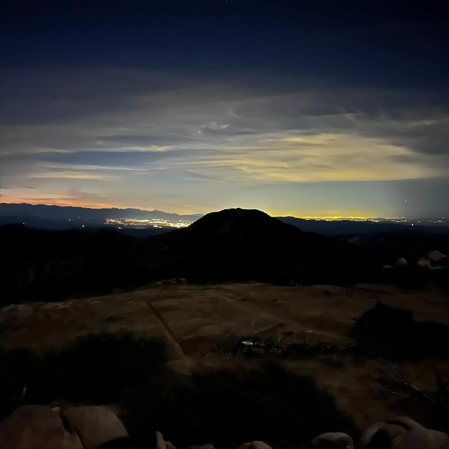
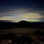
Cobblestone Outline At Night, photo by Sharon Moore
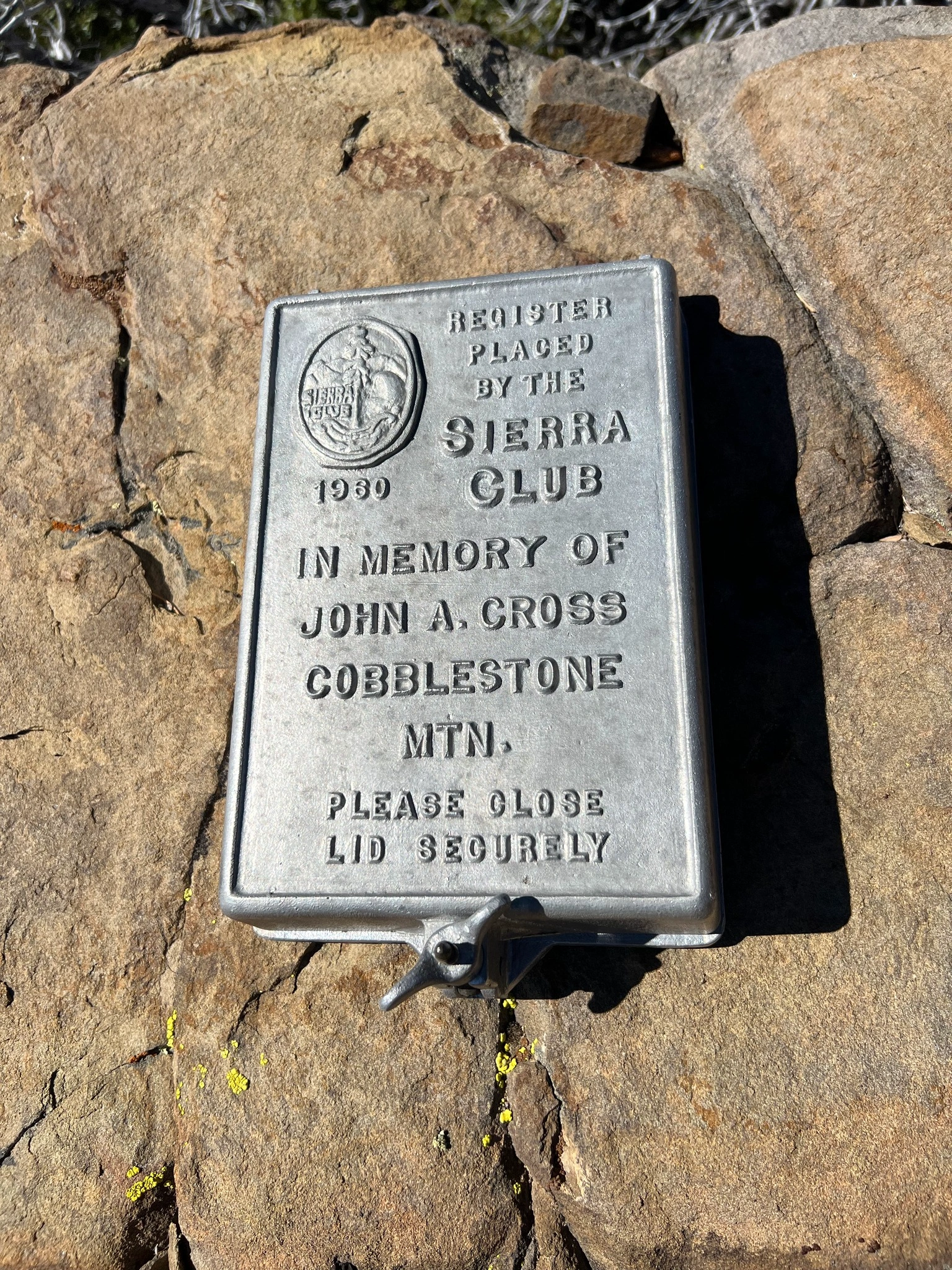
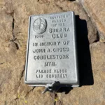
Historic Sierra Club register on Cobblestone Mountain, photo by Bill Simpson
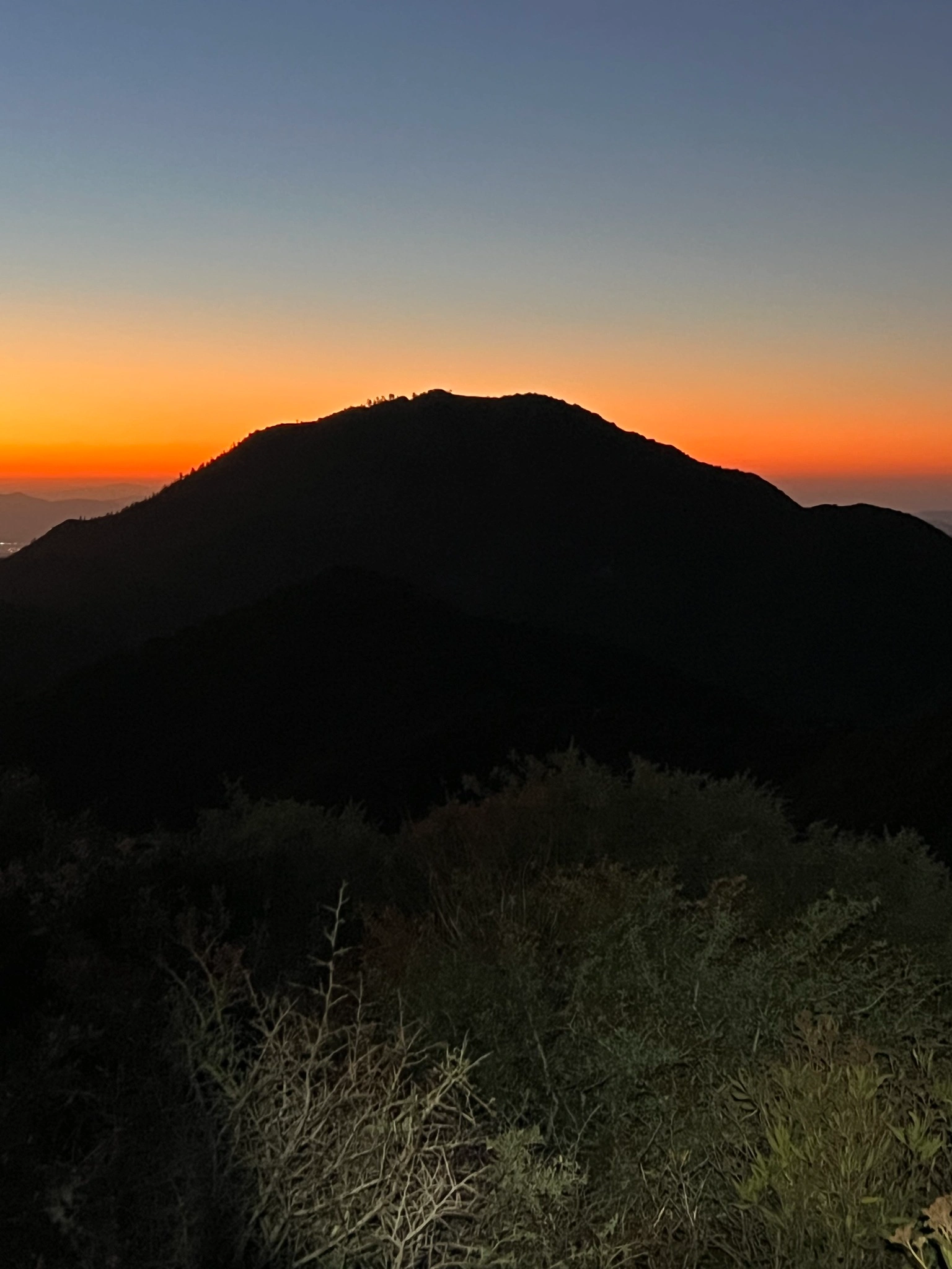
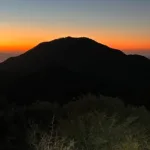
Sunrise from Cobblestone Mountain, photo by Bill Simpson


Peakbagger.com

Nearest ranger station

NOAA Forecast

Google Earth


