Peak Name
Elevation
feet
Status
Region
Range
Nearby peaks
Location
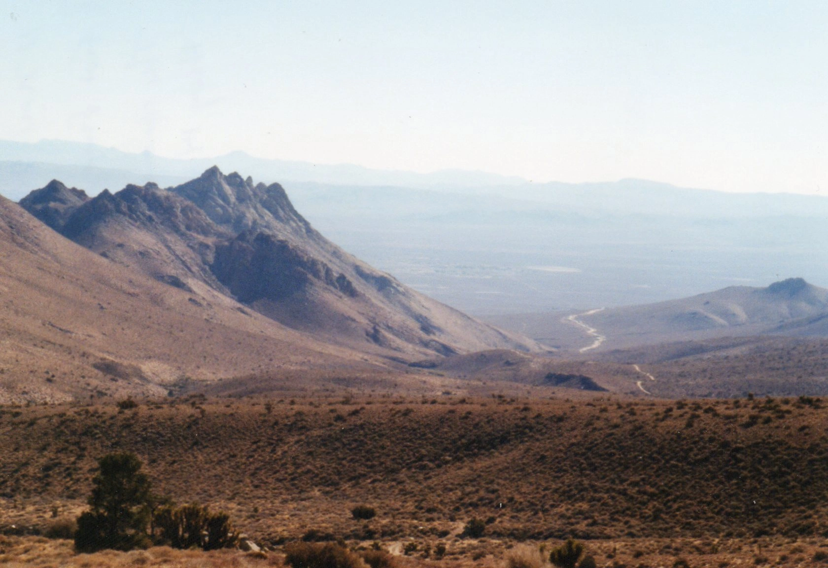
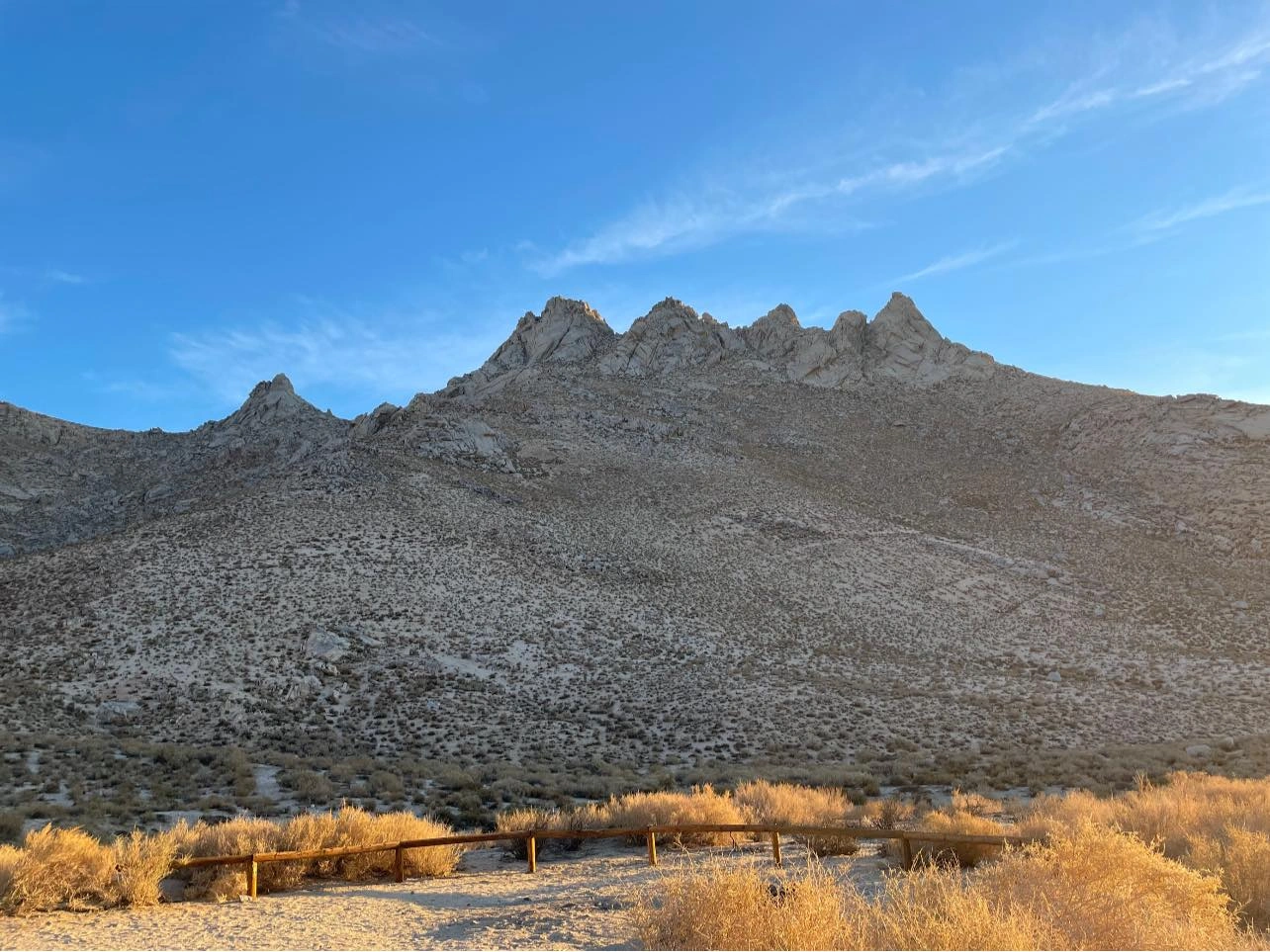
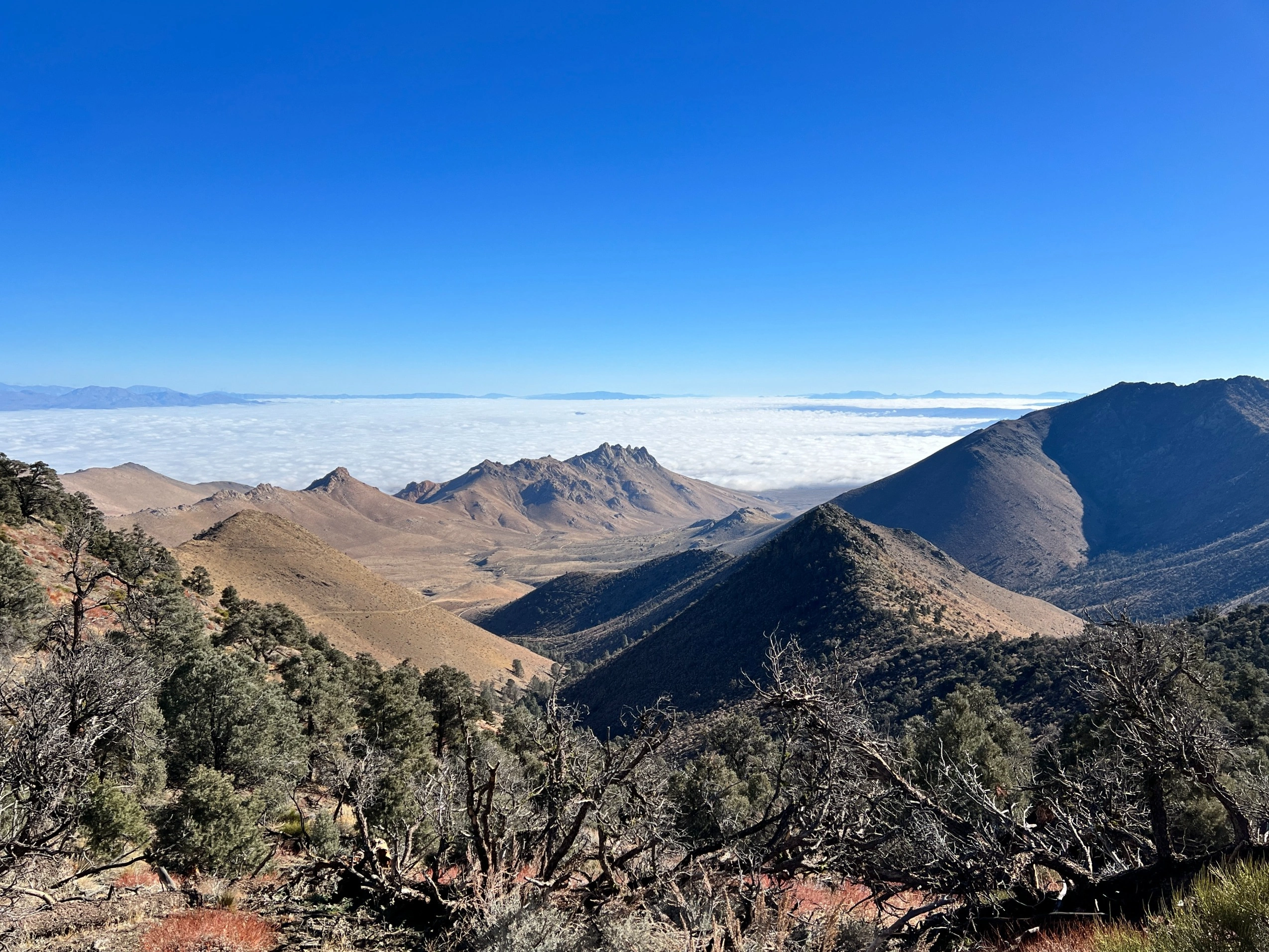
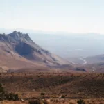
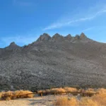
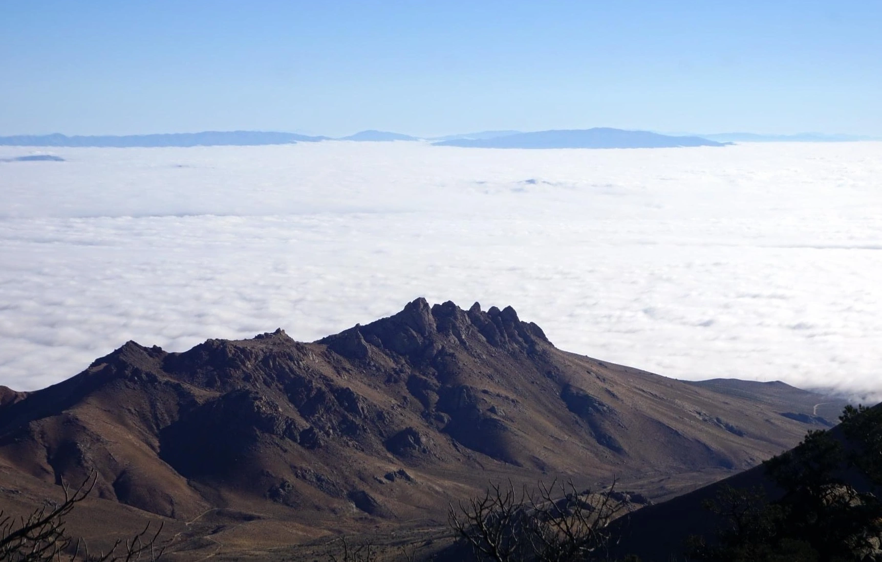
Five Fingers, also known as Aquila Peak, is part of a dramatic formation standing out like a crown from Indian Wells Canyon, where the southeast end of the Sierra Nevada meets the northwest end of the Mojave Desert. One can hardly pass by it without wanting to climb it!
Route 1 starts with a steep ascent up a sandy slope then up a third class chimney to the peak. Route 2 starts by driving (or hiking if the road is not passable) up a high-clearance/4WD road to a higher starting point near bump 4475′, then following a use trail west about ½ mile behind the summit to join the other route. All routes to the peak involve third class scrambling. Helmets are recommended for all routes, and required for official outings.
Maps generated from CalTopo.com, reproduced with permission
Driving route
Take SR 14 to Mojave.
Continue north on SR 14 to the intersection with SR 178 (Freeman Junction).
Continue north on SR 14 another 5.3 miles to a dirt road on the left. Turn left. This is 0.4 mile past Indian Wells, with a lodge and brewery. SR 14 is under construction. It may be necessary to continue farther north and turn around, returning to the dirt road. Note your odometer and go as follows:
At 2.6 miles, Powers Well on the left. Keep straight. This is a good camping spot.
At 2.7 miles, fork. Turn right.
At 3.2 miles, fork. Keep right. This is the turnoff for Owens Peak, Morris Peak and Mount Jenkins.
Park in a parking area a short distance from the fork.
Hiking route
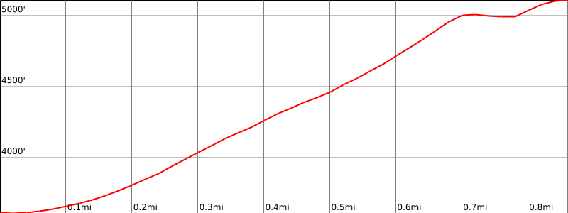
From the parking area (3600’+), the peak is visible as the leftmost of several points. Hike up the slope through the saddle between the summit and the next point to its right.
Continue around to the northeast side of the summit to a spiny ridge coming down from the summit.
Scramble up onto this ridge, turn left, and follow it up toward the summit.
Soon you will see two slots coming down from the summit. Follow the left slot through some easy class 3 rock up to the summit.
Note: HPS policy requires the possession and use of a climbing helmet on Class 3 terrain or where the hazard of rockfall is present.
Driving route
Take SR 14 to Mojave.
Continue north on SR 14 to the intersection with SR 178 (Freeman Junction).
Continue north on SR 14 another 5.3 miles to a dirt road (SE 152) on the left. Turn left. This is 0.2 mile past Indian Wells, with a lodge and brewery. Note your odometer and go as follows:
At 1.4 miles, turn right onto SE 147.
After about 100 feet, turn left onto SE 183.
At 2.0 miles, fork. Keep straight.
At 2.5 miles, park in a parking area at trailhead (near peak 4475).
Note: 4WD vehicles may be necessary for driving up SE 183 to the trailhead.
Hiking route
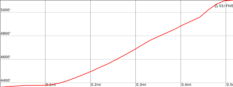
From the parking area (4350′), the peak is visible as the rightmost of several points. Hike initially down but mustly up the slope to a spiny ridge coming down to the right of the summit.
Continue to the summit as per Route 1.
Route Notes
4WD vehicles may be necessary for driving up SE 183 to the trailhead, adding an additional 2.5 miles RT and 1200’ gain.
HPS policy requires the possession and use of a climbing helmet on Class 3 terrain or where the hazard of rockfall is present.
Additional Peak Information
Special conditions: Five Fingers, Owens Peak, Morris Peak, and Mount Jenkins are all in the Owens Peak Wilderness. At the date of this guide no permit is required.
Alternate routes: It is possible to hike up to the spiny ridge from any convenient parking area near the peak. It is suggested that a Wilderness map is obtained to be sure that you do not violate the Wilderness boundaries.


You must be logged in to upload images.