Morris Peak

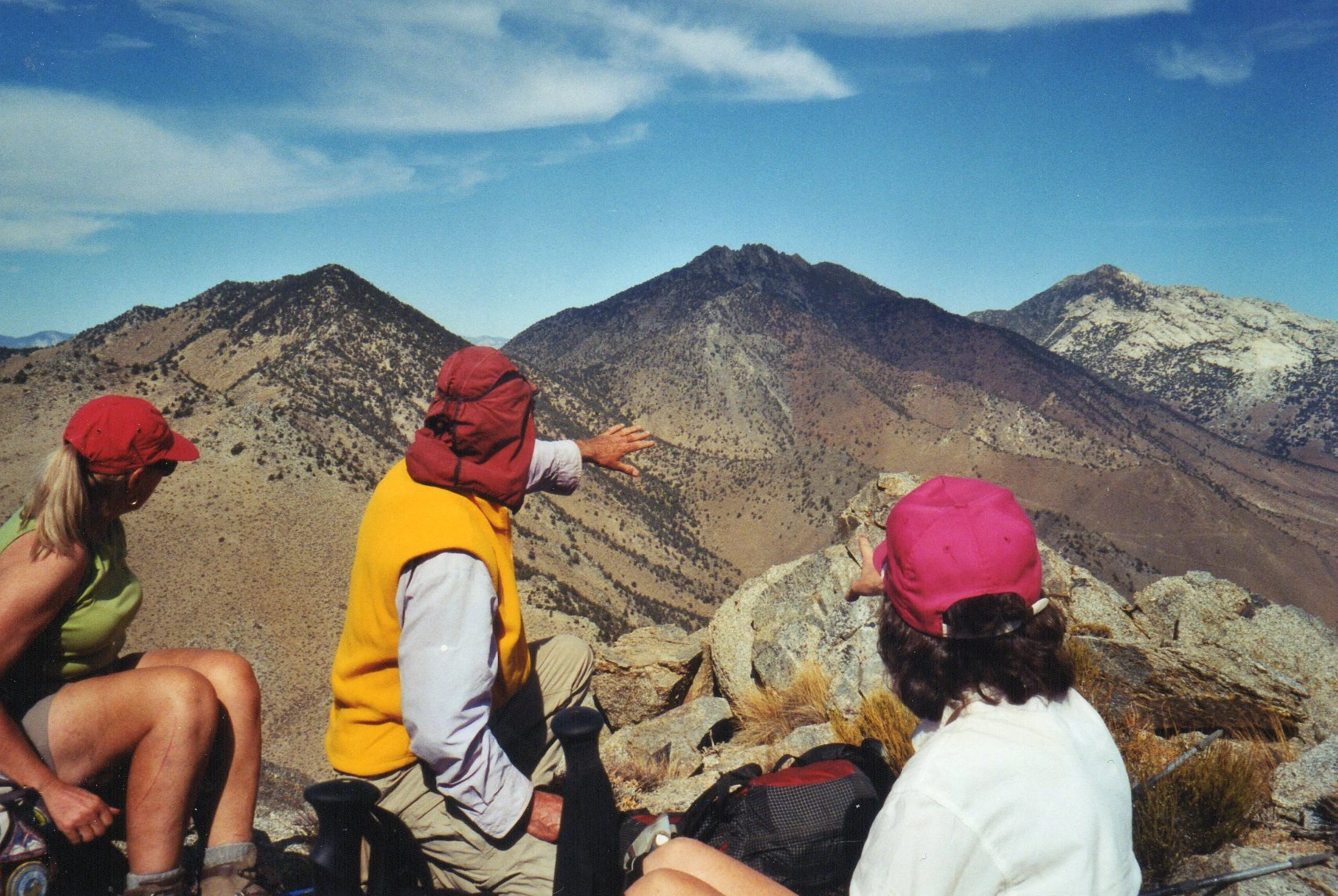
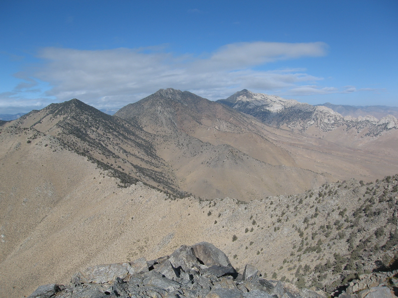
Morris Jenkins and Owens Peaks, Photo by Kathy Wing.

Peak Name

Morris Peak
01F

Elevation

7215

 feet

Status

active

Region

Southern Sierra North Of Hwy 178

Range

South Sierra Crest

Location

35.69023,-117.9870172

Description

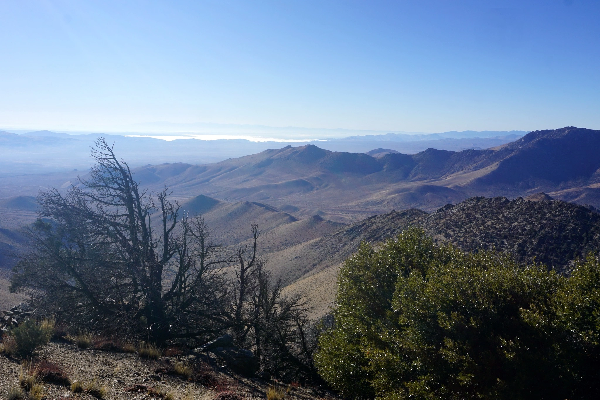
Morris Peak and its sister Mount Jenkins are situated on the crown of Indian Wells Canyon in Kern County, with fabulous views of the canyon with its high jagged ridgewalls, and the views of its magnificent neighbors Five Fingers, Owens, Backus and Russell.

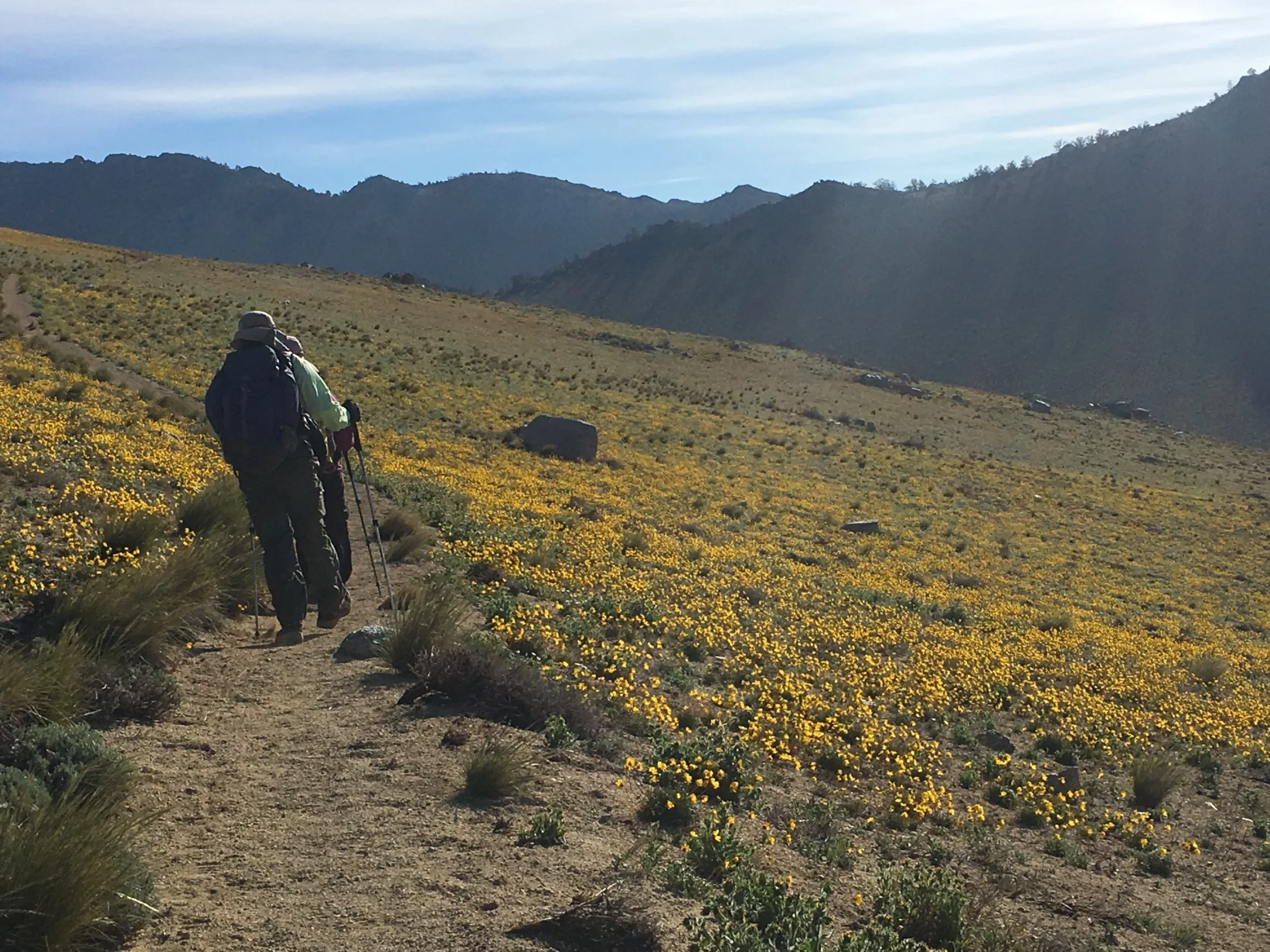
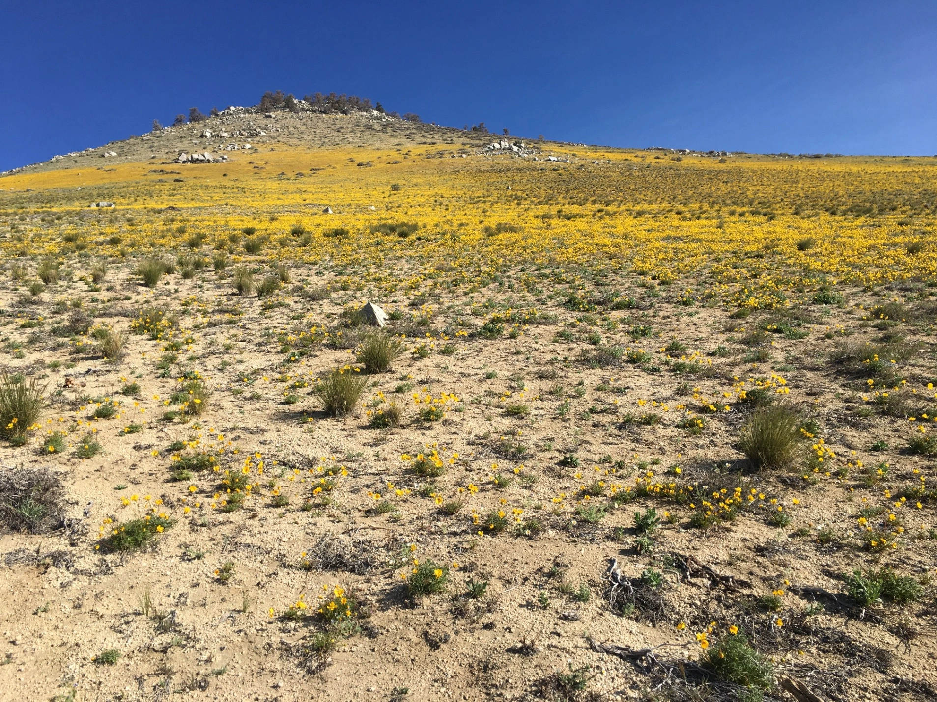
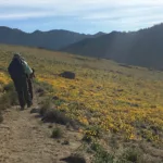
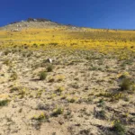
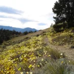
Route 1 follows the Pacific Crest Trail for an easy hike. You are likely to see excellent wildflowers along this route in good years. Route 2 and its variation rise from Indian Wells Canyon mostly cross country and more steeply.

Maps generated from CalTopo.com, reproduced with permission

Route 1- Pacific Crest Trail
Elevation Gain
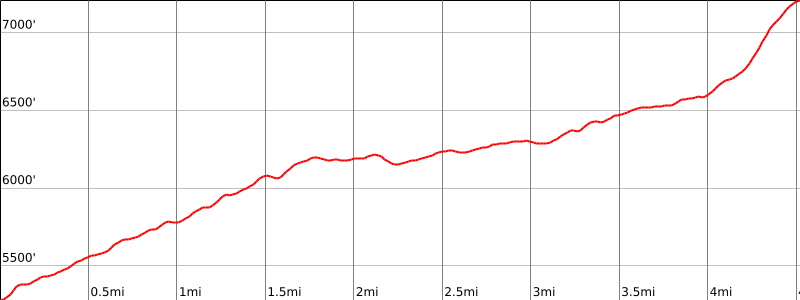
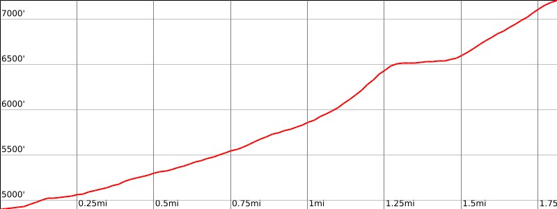
2000′
Navigation Difficulty
Easy
Distance
9 miles round trip on trail and some easy cross-country
Estimated time
4-5 hours round trip
Route Rating
Class 1, moderate
Leader Rating Required
“O”, normal conditions

Driving route

Take SR 14 to Mojave.
Continue north on SR 14 to the intersection with SR 178 (Freeman Junction).
Go west on SR 178 to Walker Pass. Park here. Unlimited parking space.

Hiking route

From Walker Pass (5246′), hike north on the Pacific Crest Trail (PCT) about 4 miles to a saddle (6600′) southwest of the summit (UTM 100496).
Leave the trail and follow a prominent use trail which goes diagonally up towards the ridge and hits the ridge just east of the peak.
Turn left and go up to the summit.

Route Notes

Printable Route

Road Type

Paved

Google Maps Link to Trailhead 

Route 2- From Indian Wells Canyon
Elevation Gain
2400′
Navigation Difficulty
Moderate
Distance
4 miles round trip cross-country
Estimated time
3-4 hours round trip
Route Rating
Class 1, moderate
Leader Rating Required
“I”, normal conditions

Driving route

Take SR 14 to Mojave.
Continue north on SR 14 to the intersection with SR 178 (Freeman Junction).
Continue north on SR 14 for 5.3 miles to Indian Wells Canyon Road (dirt) on the left. This is 0.4 mile north of Indian Wells, with a lodge and brewery. Turn left. Note your odometer and go as follows:
At 2.6 miles, Powers Well on the left. Keep straight.
At 2.7 miles, fork. Go right.
At 3.8 and 3.9 miles, forks. Keep left.
At 5.2 miles, fork. Go right.
At 5.8 miles, fork. Keep left. This is the turnoff for Owens Peak.
Drive about 0.5 mile to an abandoned mine (gold and tungsten). Park here. Do not block the road.

Hiking route

From the parking area (4890′), hike up the road past the cable.
Keep left at the first fork and right at the second fork.
Continue past the end of the road into the canyon ahead.
Continue up to the saddle at 6500′.
Turn left, leave the trail, and go up the ridge (south) to the summit.

Route Notes

Alternate Hiking Route 2: From the parking area (4890′), hike up the road past the mining equipment.
Stay right at the intersection on the road down past some old structures to a sign labeled “Alternate Route to the PCT”. Take this trail.
The trail follows a number of switchbacks to an abandoned dirt road. Continue on the dirt road to a saddle (1.8 miles).
From the saddle, go west on a ridge for 0.5 mile to the PCT (Pacific Crest Trail).
Go southwest (left) on the PCT for 1.2 miles to a use trail. (If you instead go right/north on the PCT for a mile, you’ll find the use trail that goes west to the summit of Jenkins Peak.)
Turn left, leave the PCT, and follow the use trail up the ridge (south) to the summit.

Printable Route

Road Type

Dirt

Google Maps Link to Trailhead 

Additional Peak Information

Peak combinations: Morris Peak is commonly done with Mount Jenkins by a long trail walk along the PCT. It is also done with Mount Jenkins by a much shorter route using Route 2 of Morris Peak to access the PCT or by having a short car shuttle and combining Morris Peak’s Route 2 with Mount Jenkins Route 3.

Camping: About a mile west of Walker Pass on the left is the entrance to Walker Pass Campground. There are restrooms and water during summer months. There are walk-in primitive sites. There are no fees or reservations at this time. Powers Well is on the driving route for Route 2. It has no water or facilities. It is very close to the starting point for Five Fingers.

Special conditions: Morris Peak, Mount Jenkins, Owens Peak, Five Fingers (Aquilla) are all in the Owens Peak Wilderness. At the date of this revision, no permit is required.

Nearby Peaks

Backus Peak
Owens Peak
Black Mountain #5
Morris Peak

External Links

mountain 1

Peakbagger.com

Click Here

ranger-tower 1

Nearest ranger station

Click Here

g311

NOAA Forecast

Click Here

worldwide 1

Google Earth

Click Here

Photo Gallery