Owens Peak

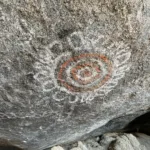
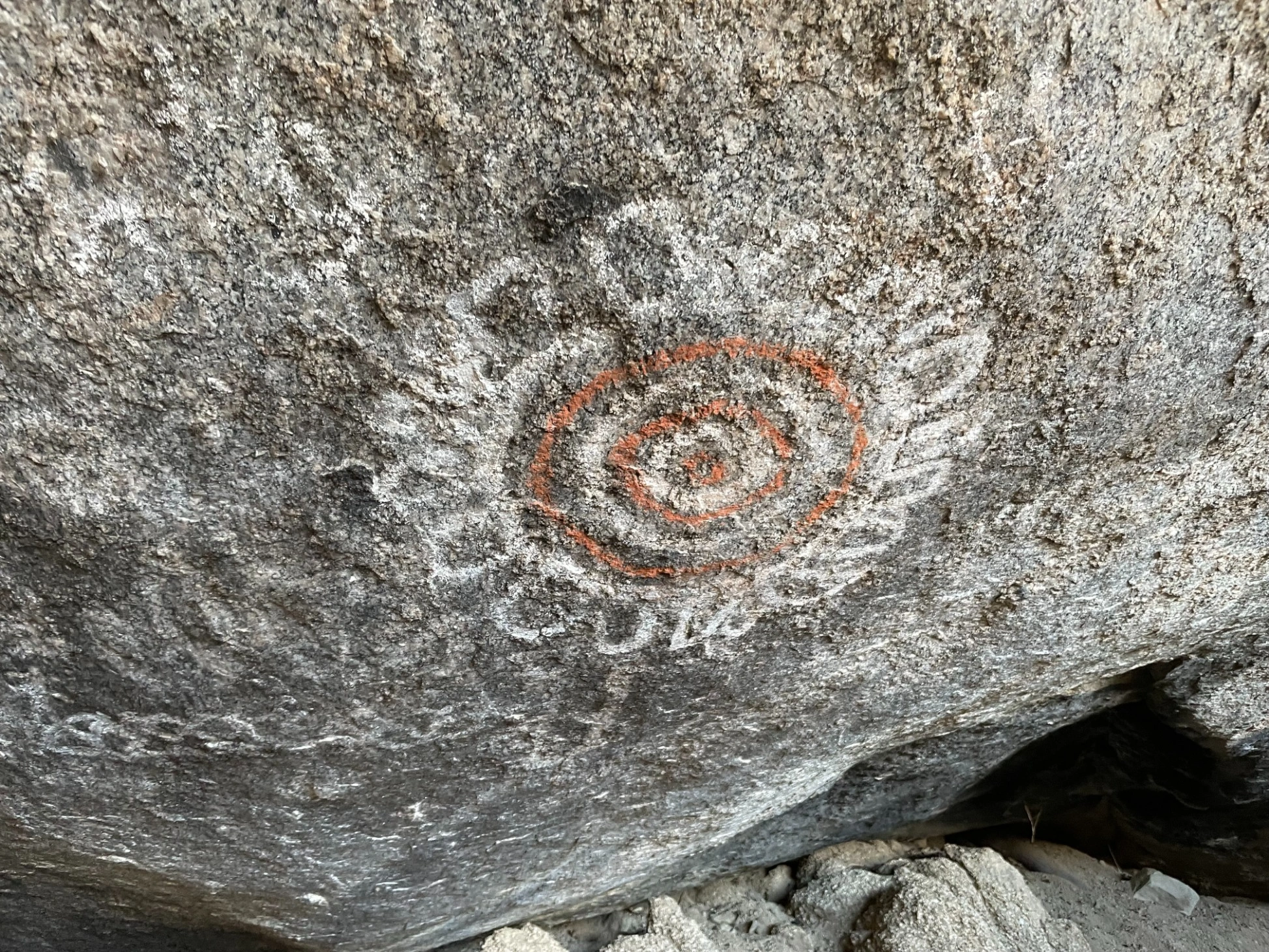
Owens Petroglyphs, Photo by Jim Hagar.

Peak Name

Owens Peak
01H

Elevation

8453

 feet

Status

active

Region

Southern Sierra North Of Hwy 178

Range

South Sierra Crest

Location

35.7382844,-117.9970183

Description

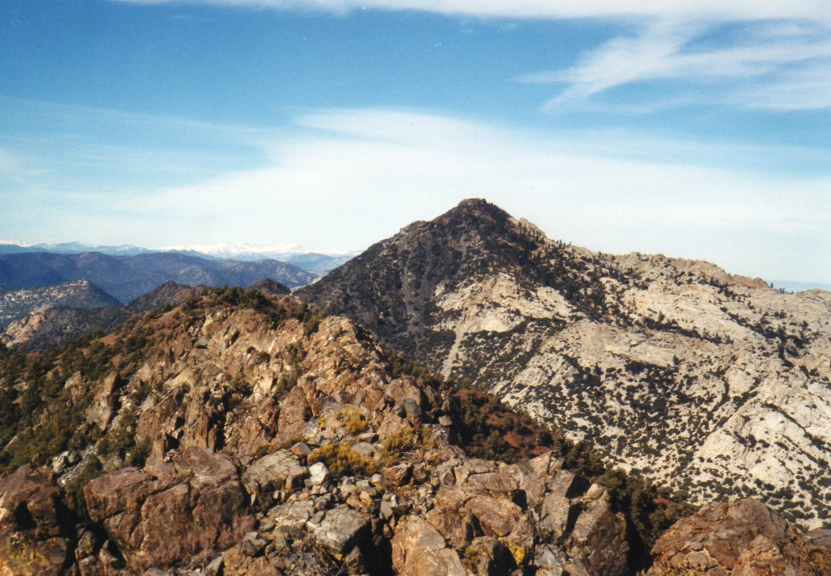
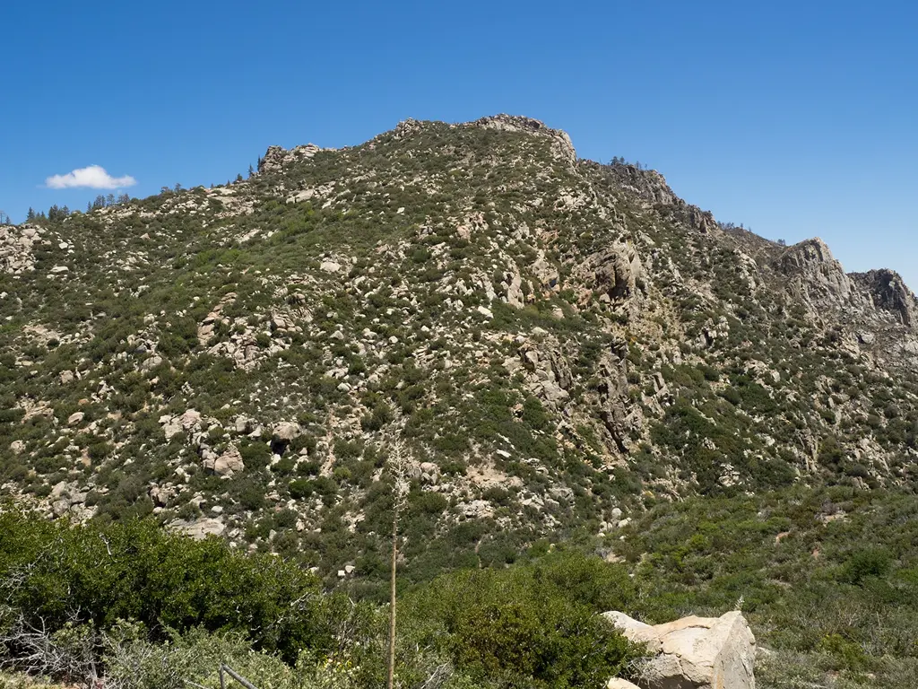
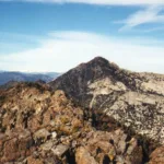
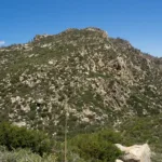
Owens Peak, which is also a SPS peak, has an impressive summit with views of the northern Sierras and of other HPS peaks that crown beautiful Indian Wells Canyon in Kern County.

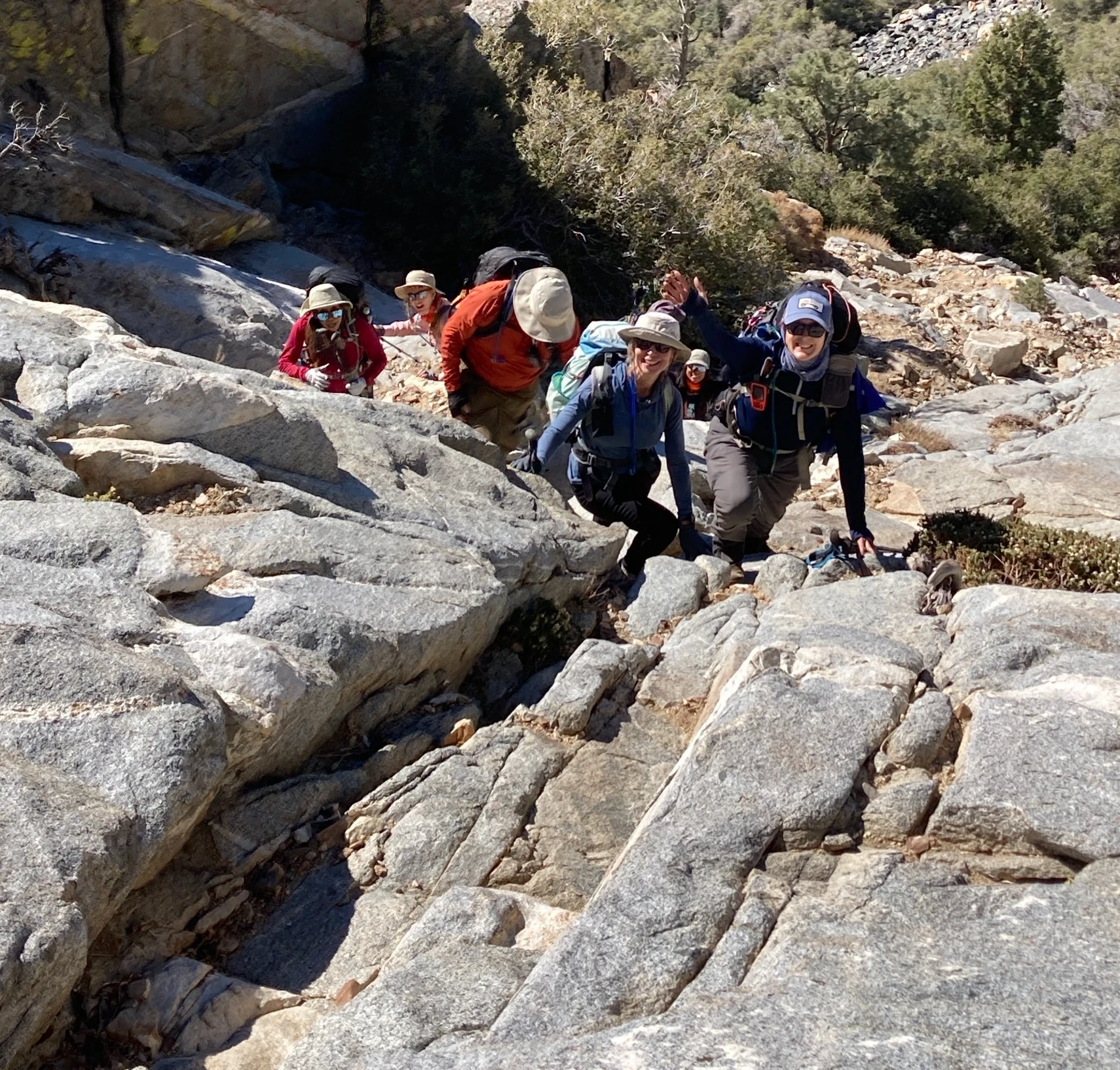
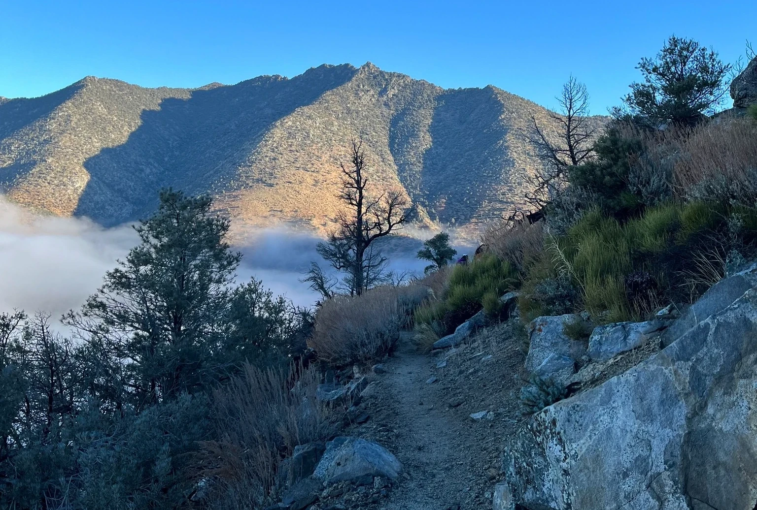
Route 1 is a challenging and very enjoyable hike that starts on a pleasant forested trail and involves crossing a talus field and scrambling up steep slabs past wonderful granite formations to the summit. Hiking when there is snow or ice on the slabs is not advised. Owens can also be hiked from Morris and Jenkins in a very long loop.

Maps generated from CalTopo.com, reproduced with permission

Route 1
Elevation Gain
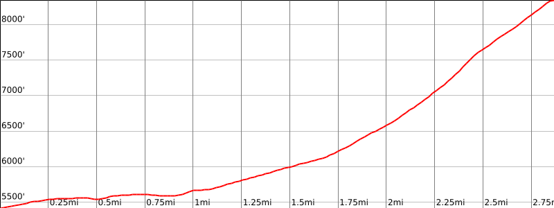
3200′ total, 3100′ out plus 100′ on return
Navigation Difficulty
Intermediate
Distance
7 miles round trip on road and use trail
Estimated time
6 hours round trip
Route Rating
Class 2, moderate
Leader Rating Required
“O”, normal conditions

Driving route

Take SR 14 to Mojave.
Continue north on SR 14 to the intersection with SR 178 (Freeman Junction).
Continue north on SR 14 another 5.3 miles to a dirt road on the left. Turn left. This is 0.4 mile past Indian Wells, with a lodge and brewery. SR 14 is under construction. It may be necessary to continue farther north and turn around, returning to the dirt road. Note your odometer and go as follows:
At 2.6 miles, Powers Well on the left. Keep straight. This is a good camping spot.
At 2.7 miles, fork. Turn right.
At 3.2 miles, fork. Keep left. This is the turnoff for Five Fingers.
At 3.8 miles, fork. Keep left.
At 3.9 miles, fork. Keep left.
At 5.2 miles, fork. Keep right.
At 5.8 miles, fork. Go right. (Left goes to the Morris Peak parking area.)
At 6.5 miles, fork. Go right.
At 7.2 miles, a small radio site on the right.
At 7.7 miles, fork with a road on the right going out to a camping spot on an outcrop. Park here. This at the barricaded Wilderness boundary.
Note: High clearance may be required to proceed beyond the 5.2 mile point.

Hiking route

From the parking area (5440′), hike past the barricade along the old road, which eventually becomes a trail.
Continue on this trail up the canyon to a small clearing at about 6100′. The canyon forks here.
Follow the excellent use trail up the right canyon to about 7000′ where the trail becomes quite steep, then starts through a field of dark boulders.
Follow ducks up through these boulders. (If you come to a field of white boulders, you are too far to the right.)
Continue on the use trail up toward the summit passing a steep rock friction slope at about 7800′ on the way.
Continue on a good but steep trail to the summit.

Route Notes

Printable Route

Road Type

Dirt

Google Maps Link to Trailhead 

Additional Peak Information

Special conditions: Owens Peak, Morris Peak, Mount Jenkins, Russell Peak, Backus Peak, and Five Fingers (Aquilla) are all in the Owens Peak Wilderness. At the date of this guide no permit is required.

Nearby Peaks

Backus Peak
Owens Peak
Black Mountain #5
Morris Peak

External Links

mountain 1

Peakbagger.com

Click Here

ranger-tower 1

Nearest ranger station

Click Here

g311

NOAA Forecast

Click Here

worldwide 1

Google Earth

Click Here

Photo Gallery