Peak Name
Elevation
feet
Status
Region
Range
Nearby peaks
Location
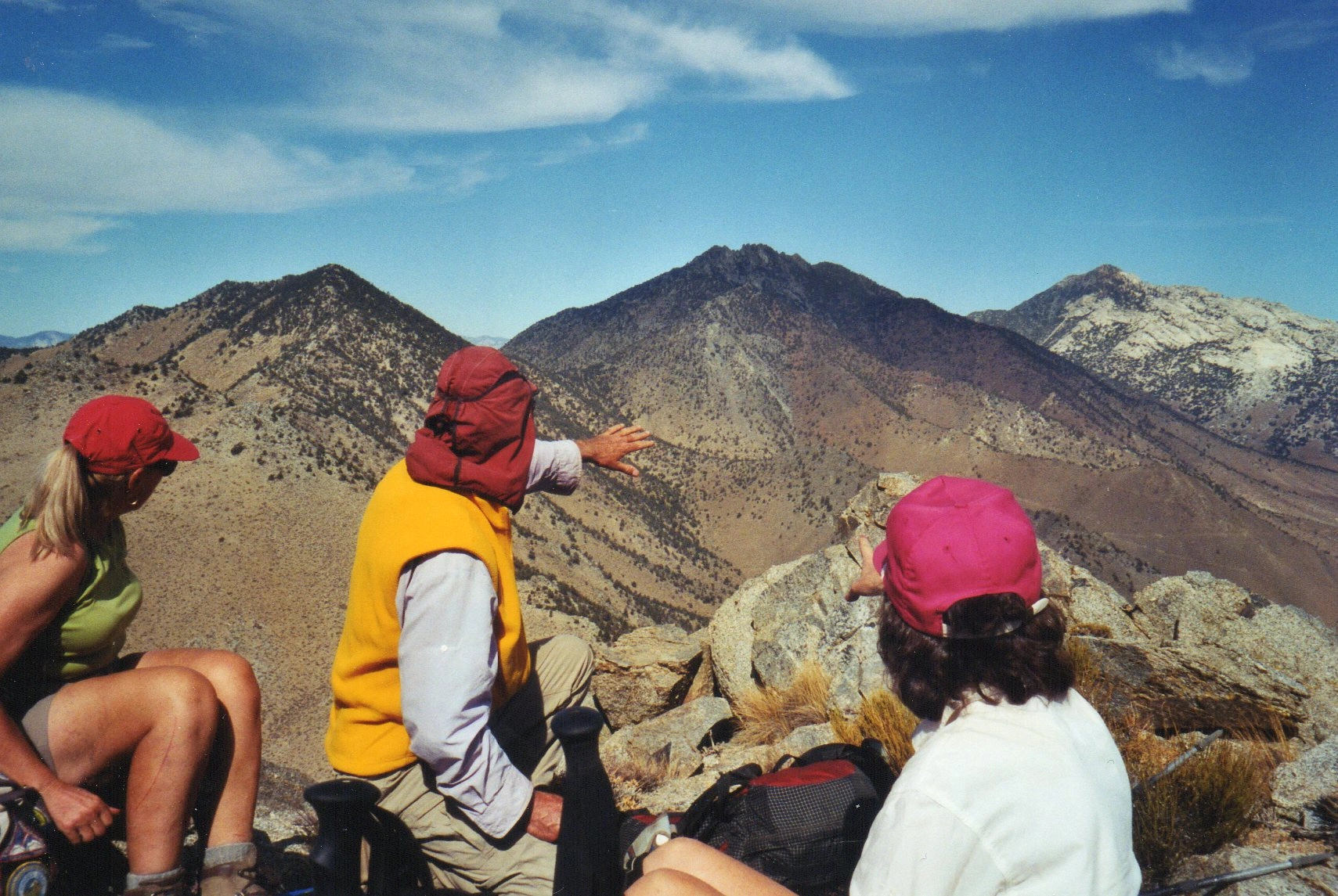
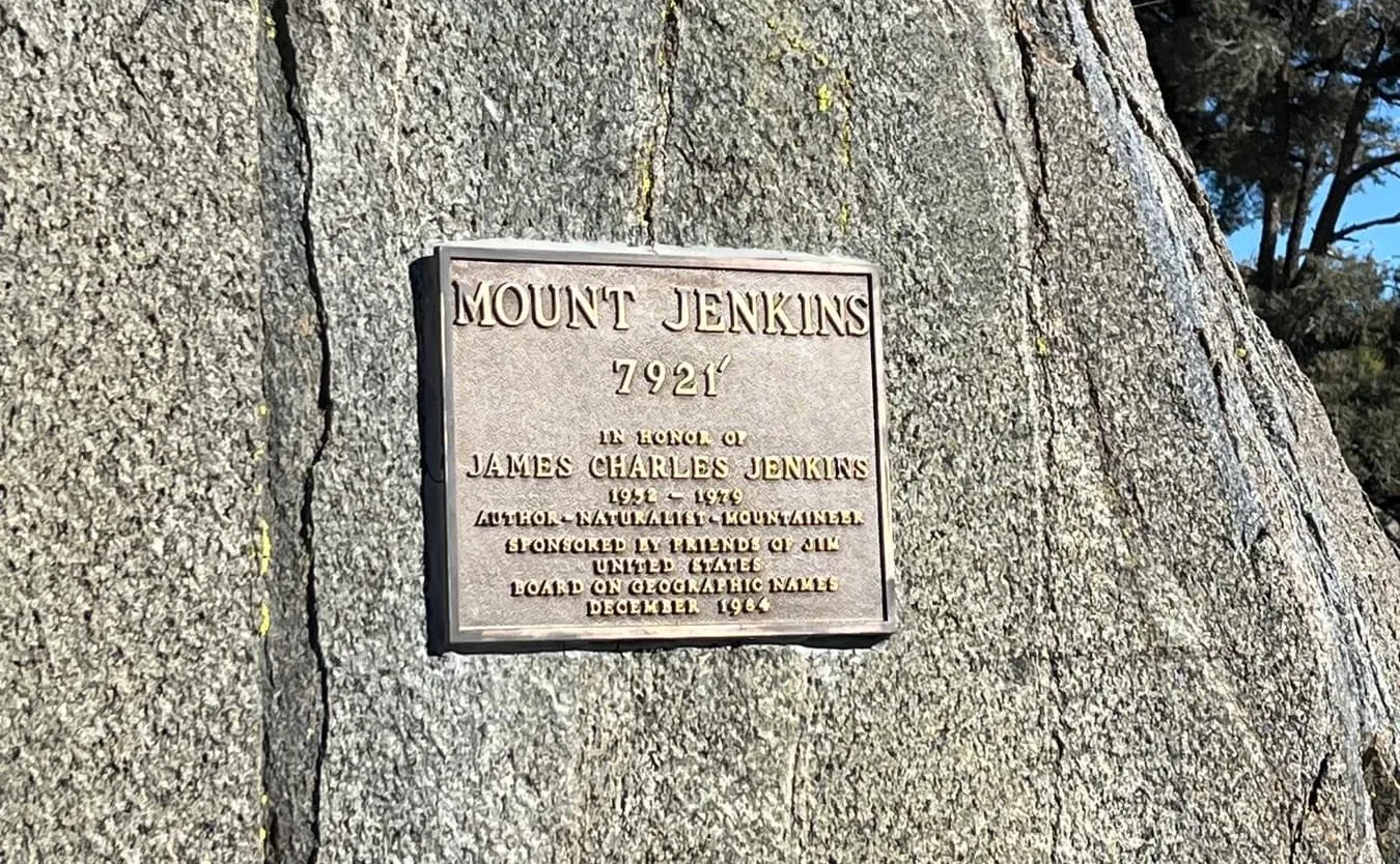
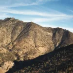
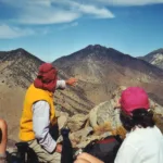
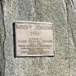
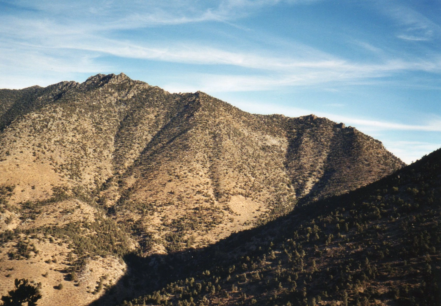
Mount Jenkins lies within the Owens Peak Wilderness. The peak was named in 1983 for James Charles Jenkins (1952-79), USFS Forester, beloved hiker, and author of five books renowned for their accuracy. Mount Jenkins was added to the HPS Peak List in 1987. The peak has fabulous views of Indian Wells Canyon below with its high jagged ridgewalls, and its magnificent neighbors Morris, Owens, Backus, Russell and Five Fingers.
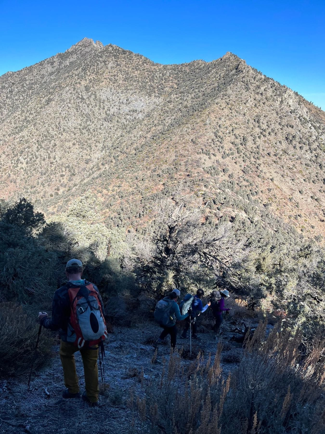
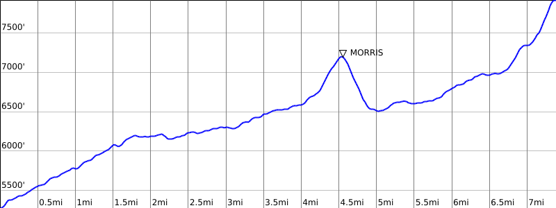
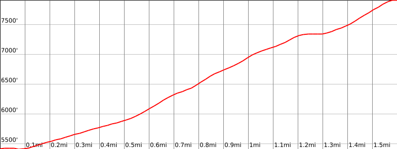
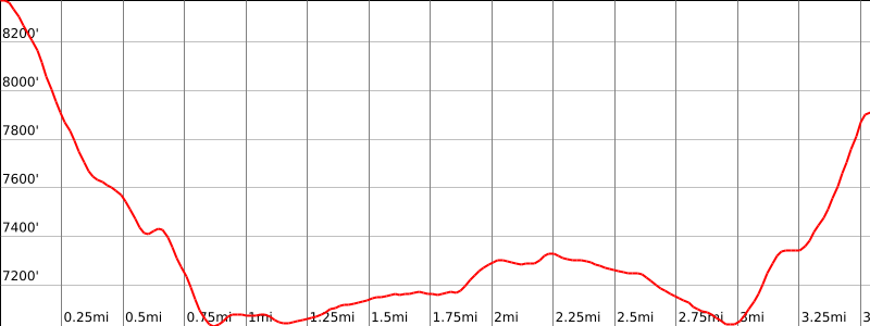
Route 1 follows the Pacific Crest Trail from Walker Pass until it passes below the summit, where a short steep scramble takes you to the summit block. Route 2 ascends the same ridge, but starts at the Owens Peak parking area. Route 3 begins at the summit of Owens Peak, descends a ridge from Owens to the saddle between Owens and Jenkins, then follows the Pacific Crest Trail south to the same ridge used in Route 1. From the Owens summit to the Jenkins summit is 3 miles one way and 1100′ gain.
Maps generated from CalTopo.com, reproduced with permission
Driving route
Take SR 14 to Mojave.
Continue north on SR 14 to the intersection with SR 178 (Freeman Junction).
Go west on SR 178 to Walker Pass. Park here. Unlimited parking space.
Hiking route
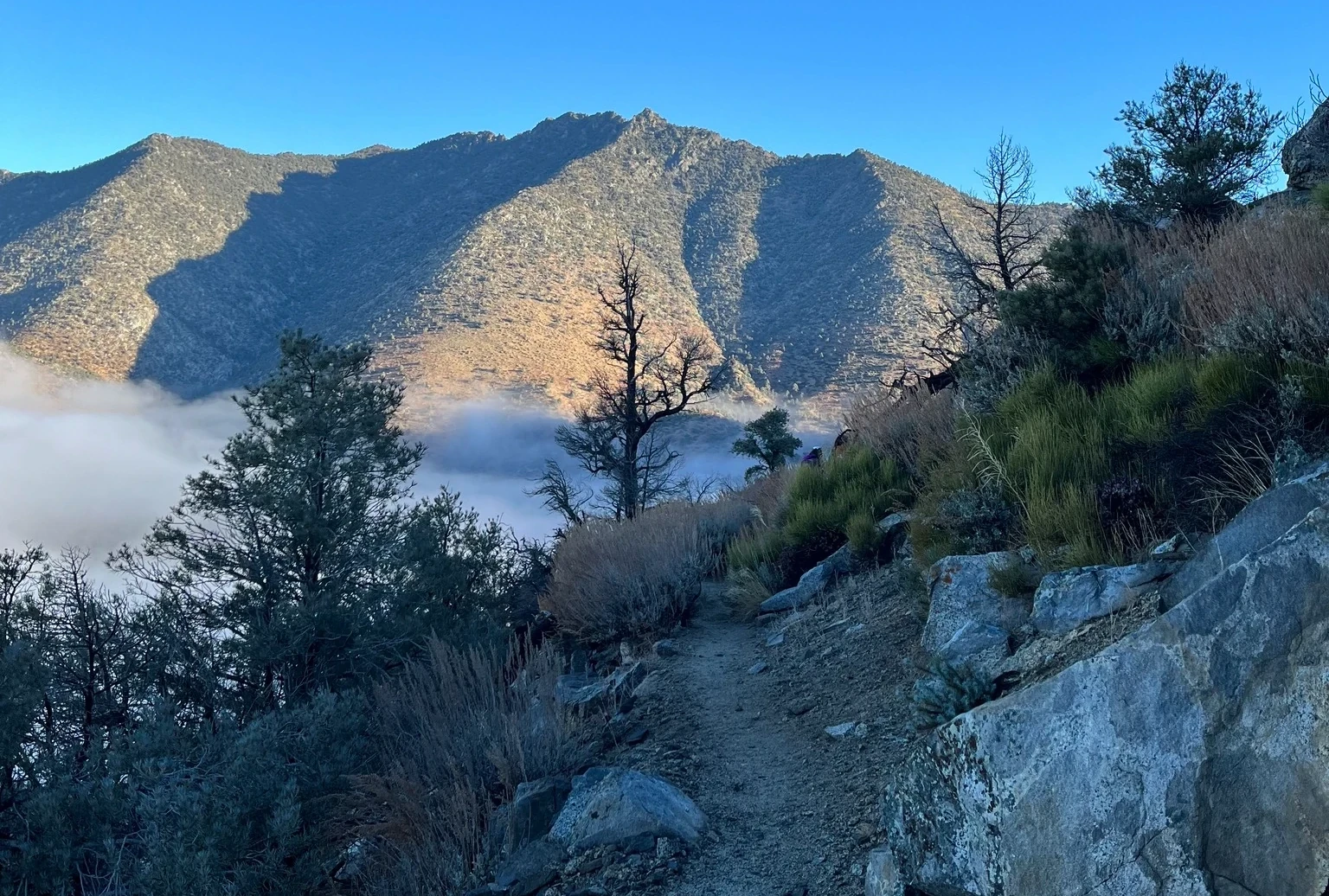
From Walker Pass (5246′), hike north on the Pacific Crest Trail (PCT) about 6 miles to the ridge which comes down northeast from the peak. There is usually a duck at this point.
Leave the trail and go up the ridge to a flat area at 7320’+ (UTM 106520).
Continue up the ridge and pick up a ducked route off to the left side of the ridge. Follow this up to the base of the summit block.
Go up a very short class 3 section to the summit.
Driving route
Take SR 14 to Mojave.
Continue north on SR 14 to the intersection with SR 178 (Freeman Junction).
Continue north on SR 14 for 5.3 miles to a dirt road on the left. Turn left. This is 0.4 mile past Indian Wells, with a lodge and brewery. SR 14 is under construction. It may be necessary to continue farther north and turn around, returning to the dirt road. Note your odometer and go as follows:
At 2.6 miles, Powers Well on the left. Keep straight. This is a good camping spot.
At 2.7 miles, fork. Turn right.
At 3.2 miles, fork. Keep left. This is the turnoff for Five Fingers.
At 3.8 miles, fork. Keep left.
At 3.9 miles, fork. Keep left.
At 5.2 miles, fork. Keep right.
At 5.8 miles, fork. Go right. (Left goes to the Mount Morris parking area).
At 6.5 miles, fork. Go right.
At 7.2 miles, a small radio site on the right.
At 7.7 miles, fork with a road on the right going out to a camping spot on an outcrop. Park here. This is near the Wilderness boundary. Do not drive any farther!
Hiking route
From the Owens Peak parking area, hike northwest up the slope to the top of a major ridge.
Hike southwest up the ridge until it meets the PCT less than a mile from the parking area.
Turn left (south) on the PCT and walk about 100 meters until you find the use trail mentioned in Route 1.
Follow the use trail to the summit.
Route Notes
Driving route
Same as Driving Route 2.
Hiking route
From the summit of Owens Peak, hike down the ridge that goes southwest from the summit until you reach the saddle where you intersect the PCT. As you hike down the ridge, you need to be careful to avoid the technical rock sections. Excellent route finding skills are required.
Turn left (south) along the PCT for about 2 miles to the ridge which comes down northeast from the summit. There is usually a duck at this point.
Continue as in Route 1.
From Owens Peak.
Additional Peak Information
Peak combinations: Jenkins is usually done with Morris Peak by a long trail walk along the PCT (Jenkins Route 1). It is also done with Morris Peak by a much shorter route using Route 2 of Morris Peak to access the PCT or by having a short car shuttle and combining Morris Peak’s Route 2 with Jenkins Route 2. Jenkins is sometimes combined with Owens Peak. Owens Peak is usually hiked first using Owens Peak’s Route 1. Continue to Jenkins from Owens Peak using Jenkins Route 3. Then return to the Owens Peak parking area via Jenkins Route 2.
Camping: About a mile past Walker Pass toward Lake Isabella is Walker Pass Campground. There are restrooms and (usually) water during summer months. There are walk-in primitive sites. There are no fees or reservations at this time. Powers Well is on the driving route for Routes 2 and 3. It has no water or facilities. It is near to the starting point for Five Fingers.
Special conditions: Mount Jenkins, Morris Peak, Owens Peak, and Five Fingers (Aquila) are all in the Owens Peak Wilderness. At the date of this revision, no permit is required.


You must be logged in to upload images.