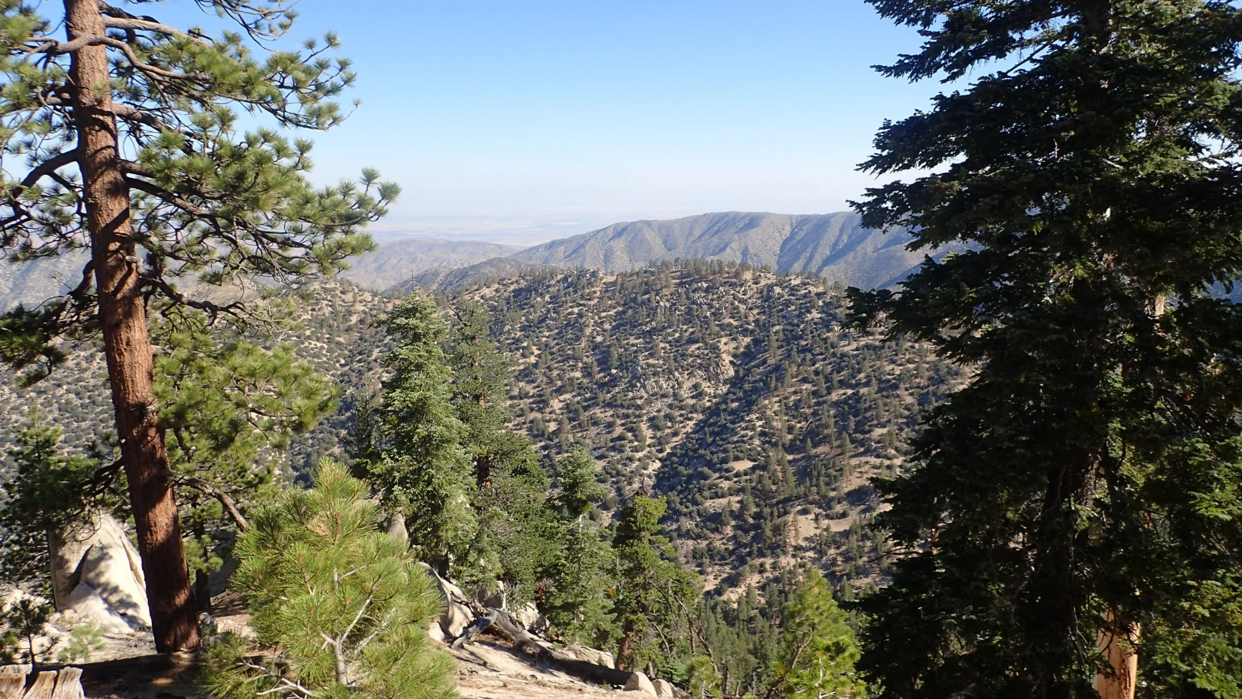
Winston Ridge

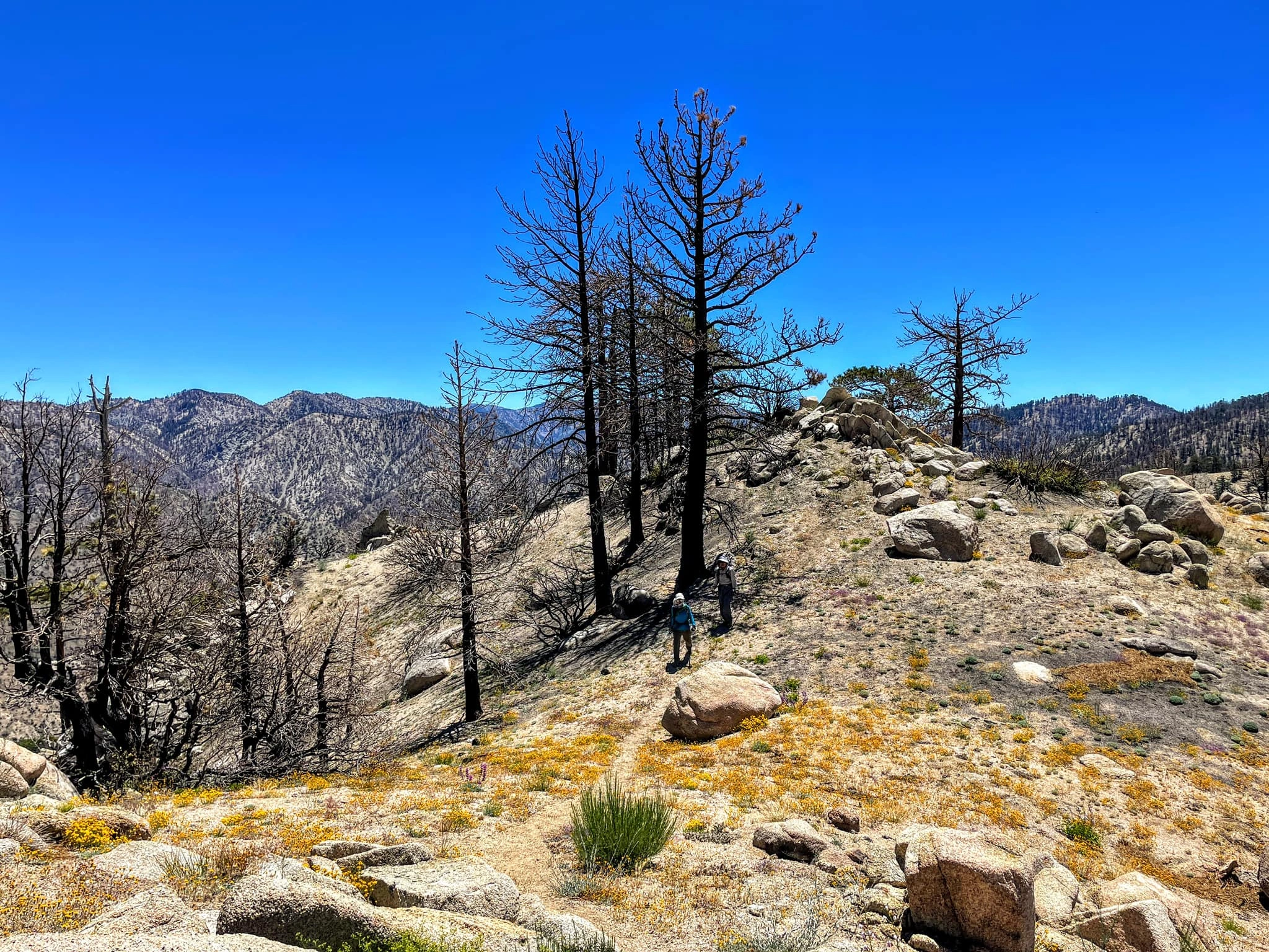
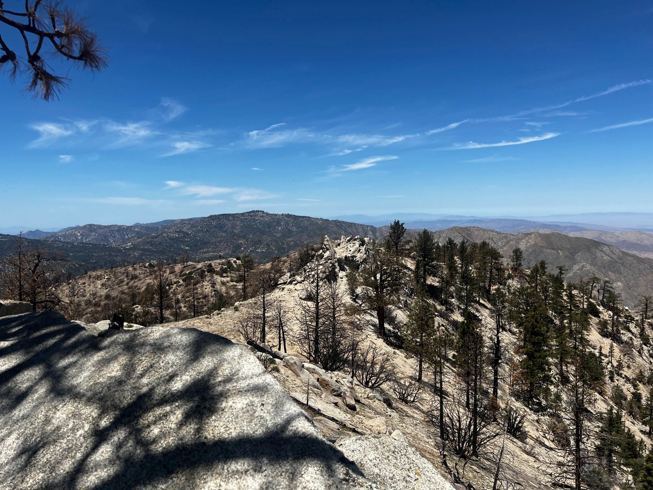
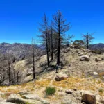
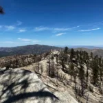
Winston Ridge, taken from the trail, Photo by Chris Waldheim.

Peak Name

Winston Ridge
13I

Elevation

7003

 feet

Status

active

Region

North Of Angeles Crest Hwy 2

Range

San Gabriel Mountains

Nearby peaks

Location

34.3755542,-117.9478434

Description

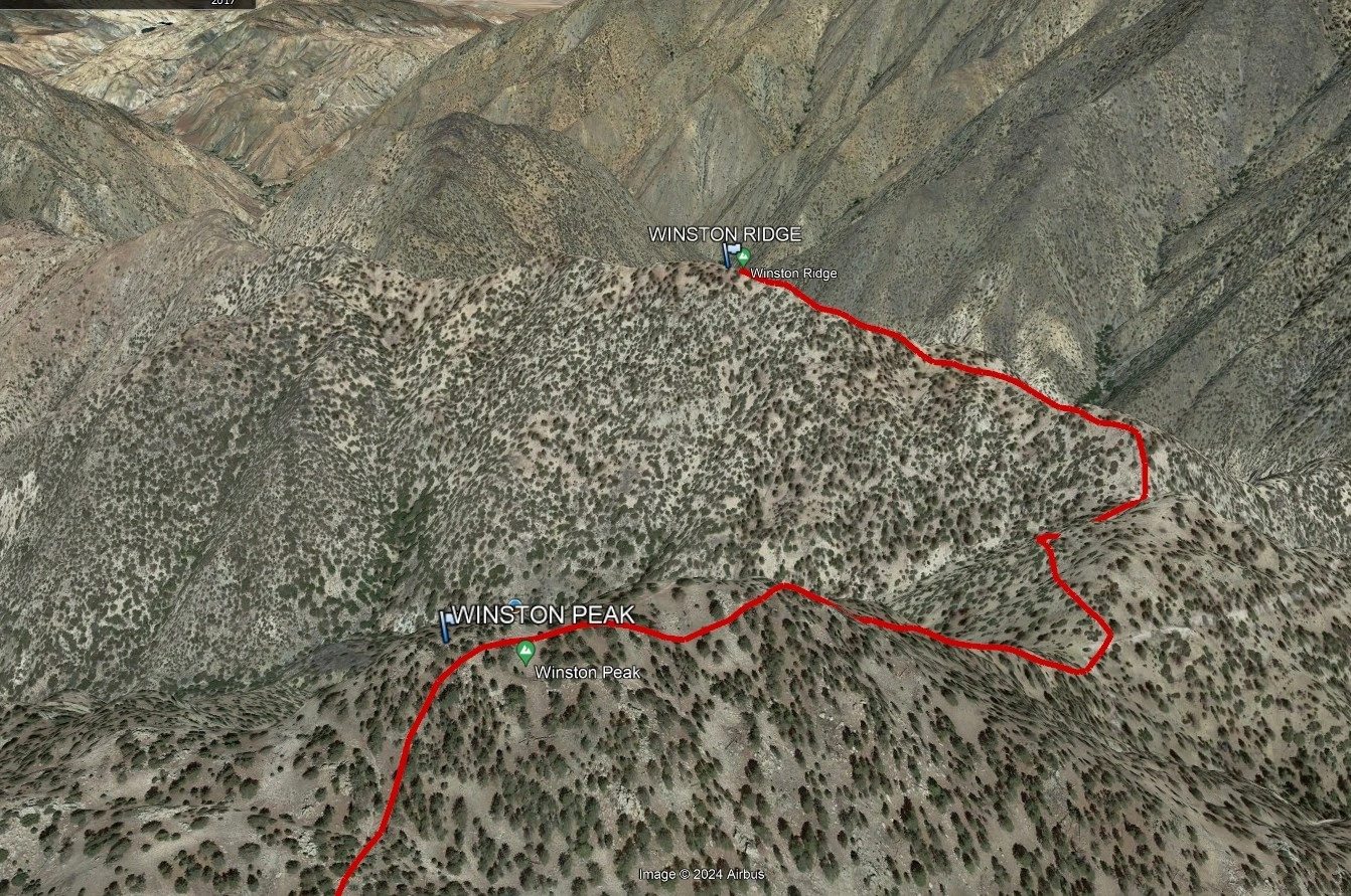
Winston Ridge is a short, pleasant hike from Cloudburst Summit, starting on the PCT, descending to a saddle then continuing on use trail to the summit ridge. Many bag Winston Peak and continue down the north ridge to Winston Ridge, returning on the PCT. It is usually paired with nearby Mount Akawie. It is near Cooper Canyon Trail camp, frequently used by PCT hikers.

Maps generated from CalTopo.com, reproduced with permission

Route 1
Elevation Gain
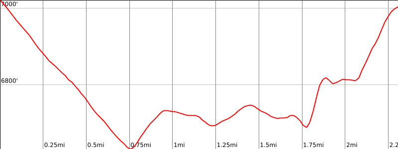
1000′
Navigation Difficulty
Easy
Distance
5 miles round trip on trail and use trail
Estimated time
3 hours round trip
Route Rating
Class 1, easy
Leader Rating Required
“O”, normal conditions

Driving route

From the intersection of I-210 and Angeles Crest Highway (SR 2), drive north on Angeles Crest Highway 9.5 miles to Angeles Forest Highway. Keep straight.
Continue about 4.5 miles to the junction with the Mount Wilson Road at the Red Box Ranger Station. Keep straight.
Continue 19 miles to the signed Cloudburst Summit. Park at a locked gate on the left (north).

Hiking route

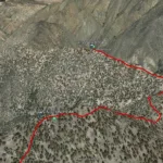
From the parking area (7018′), pass the locked gate and hike northeast down the road, the Pacific Crest Trail (PCT), to about 6700′ where an old road goes to the left (not shown on the topo).
Go left on this road and follow it to the saddle south of elevation 6903′.
Pass around either side of 6903′ to the saddle just north of it. There are use trails on both sides. The right side follows the PCT for a short distance until the PCT drops off into Cooper Canyon on the right. This section has poor trail and some exposure, trail workers having obliterated part of the use trail normally used by the HPS. It is easier to follow the use trail on the left side of 6903′.
From the saddle north of 6903′, follow an obvious use trail northwest up to the summit.

Route Notes

Printable Route

Road Type

Paved

Google Maps Link to Trailhead 

Additional Peak Information

Peak combinations: Winston Ridge can be combined with Winston Peak. From Winston Peak, descend northeast to the saddle south of elevation 6903′. Continue as in Route 1.

Nearby Peaks

Backus Peak
Owens Peak
Black Mountain #5
Morris Peak

External Links

mountain 1

Peakbagger.com

Click Here

ranger-tower 1

Nearest ranger station

Click Here

g311

NOAA Forecast

Click Here

worldwide 1

Google Earth

Click Here

Photo Gallery