Peak Name
Elevation
feet
Status
Region
Range
Nearby peaks
Location
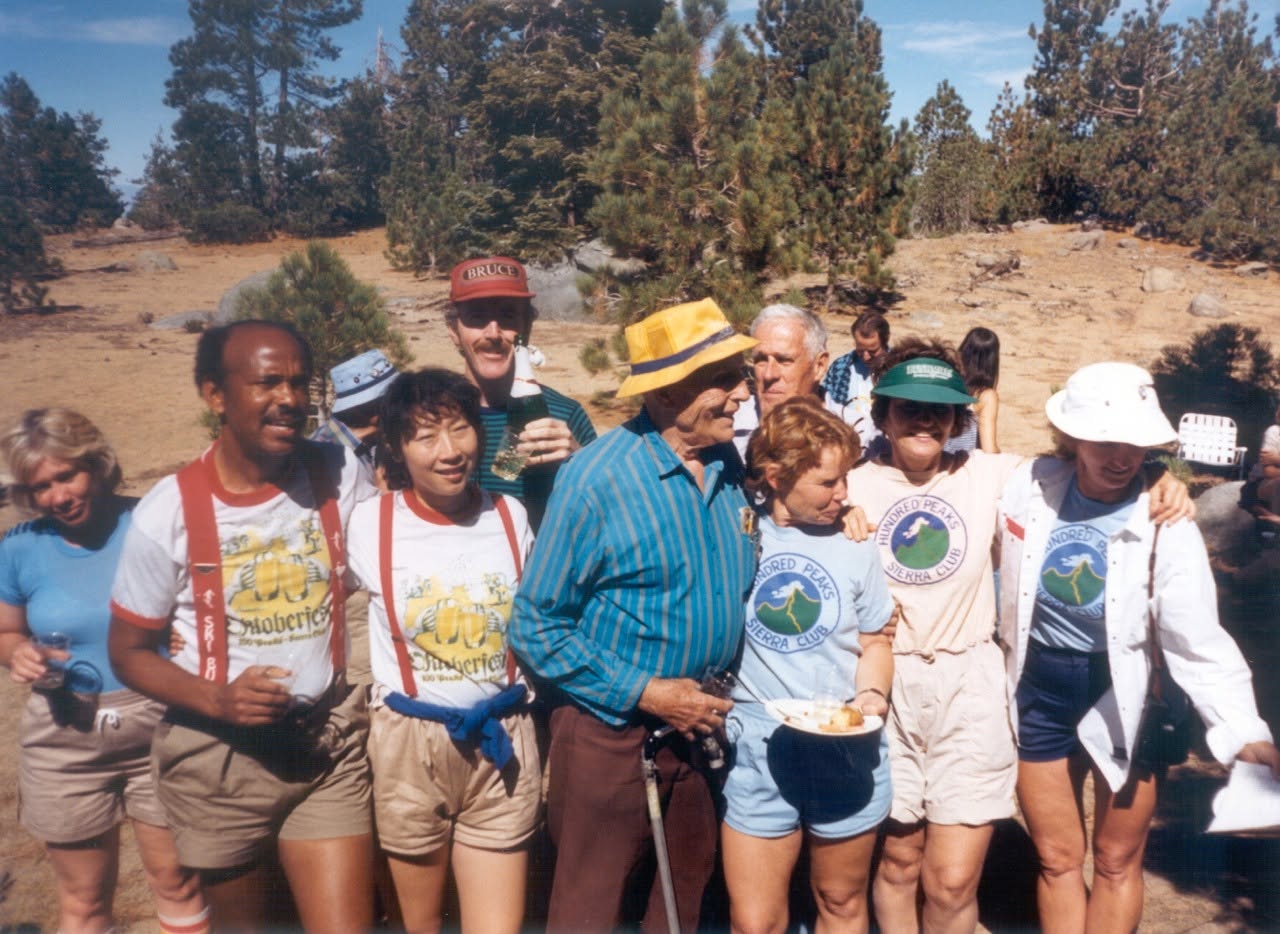
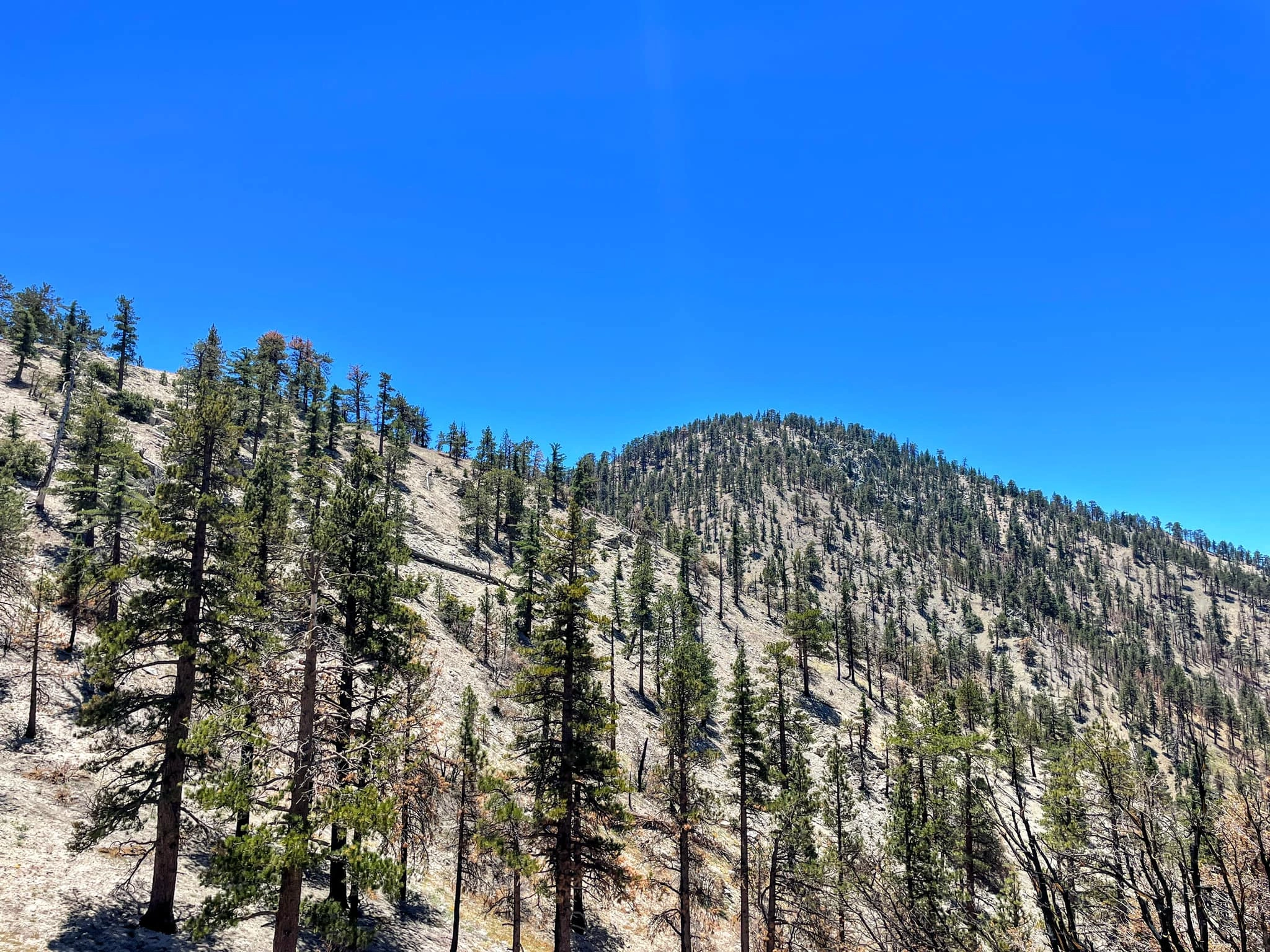
Mount Akawie, named for Sierra Club leader and conservationist Dick Akawie, is a short pleasant cross country hike that starts 100 yards east of the Waterman ski resort. It is often paired with nearby Winston Peak and Winston Ridge. The trail starts on old road to a saddle between Akawie and a bump to the west, then either up the west ridge or continuing on to ascend straight up from the south by various routes.
Maps generated from CalTopo.com, reproduced with permission
Driving route
From the intersection of I-210 and Angeles Crest Highway (SR 2), drive north on Angeles Crest Highway 9.5 miles to Angeles Forest Highway. Keep straight.
Continue about 4.5 miles to the junction with the Mount Wilson Road at the Red Box Ranger Station. Keep straight.
Continue 19.6 miles to a point 1/4 mile east of the Mt. Waterman ski lift. Park at a gated dirt road on the north side of the highway.
Hiking route
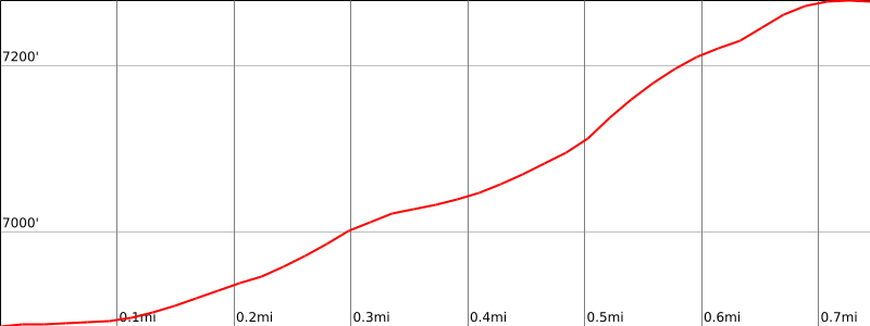
From the parking area, hike northeast on a dirt road about 1/4 mile to where a ravine on the left goes up to a shallow saddle.
Hike north up to the saddle.
Turn right (east) and hike along the ridge to the summit.
It is also possible to stay on the road. It soon turns left and continues up to the same saddle mentioned above.
Printable Route
Road Type
Additional Peak Information
Historical note: This peak was formerly known as Buckhorn Peak. This was apparently an area use name. In 1990 the HPS Management Committee voted to refer to it by its current name as a tribute to Dick Akawie. Dick was a popular HPS leader, a six time HPS list finisher, and Editor of the Angeles Chapter Schedule for 23 years.


You must be logged in to upload images.