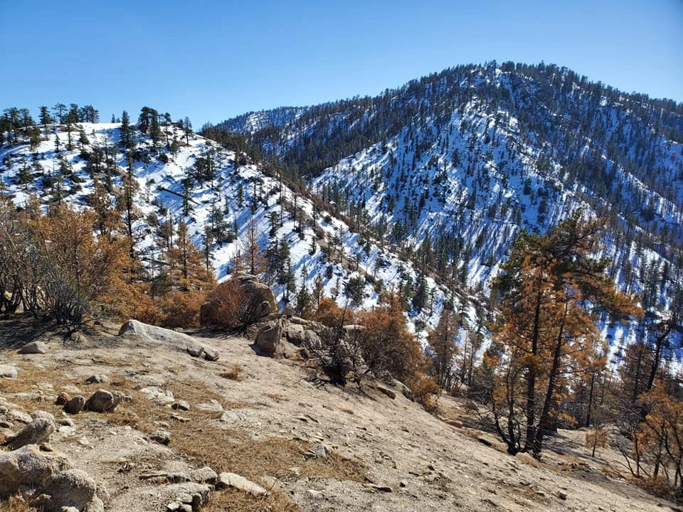
Winston Peak, photo by Kathy Wing
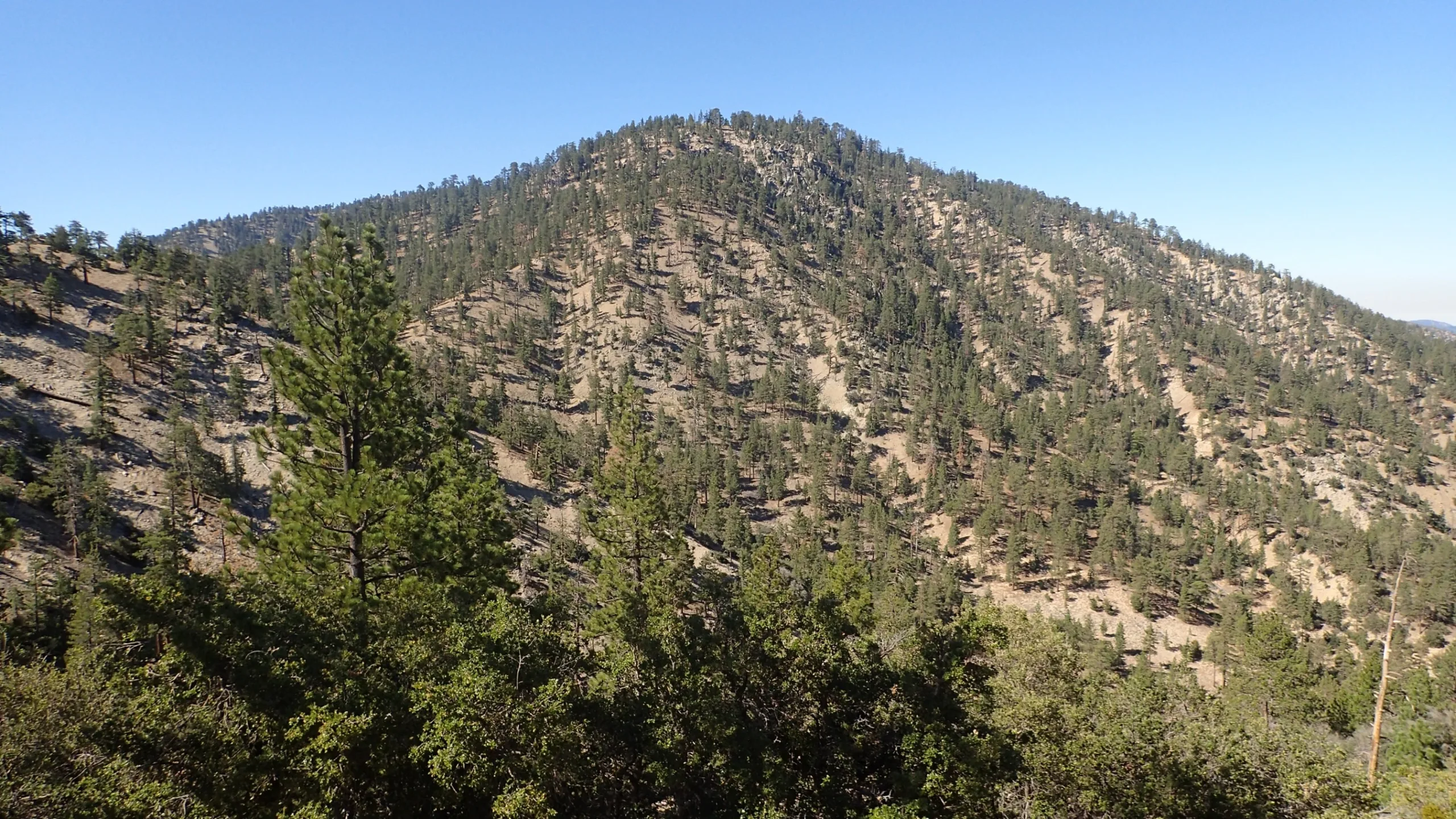
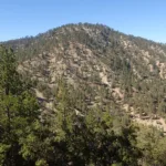
Winston Peak, taken from the trail, photo by Chris Waldheim
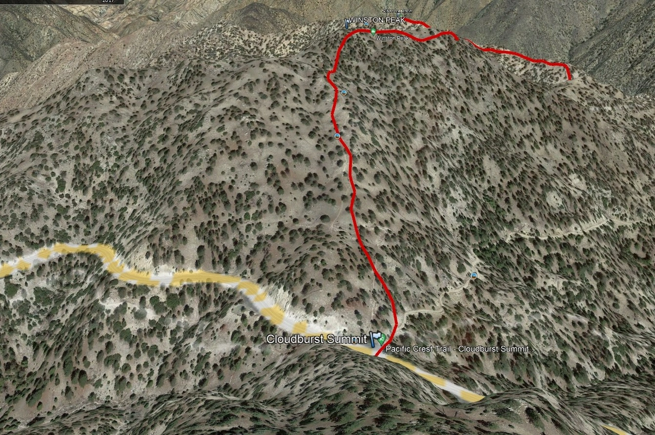
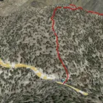
Winston Peak, photo by Google Earth
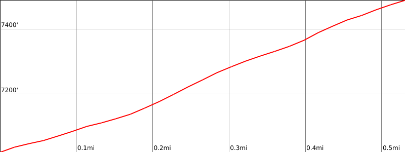


Peakbagger.com

Nearest ranger station

NOAA Forecast

Google Earth


