Peak Name
Elevation
feet
Status
Region
Range
Nearby peaks
Location
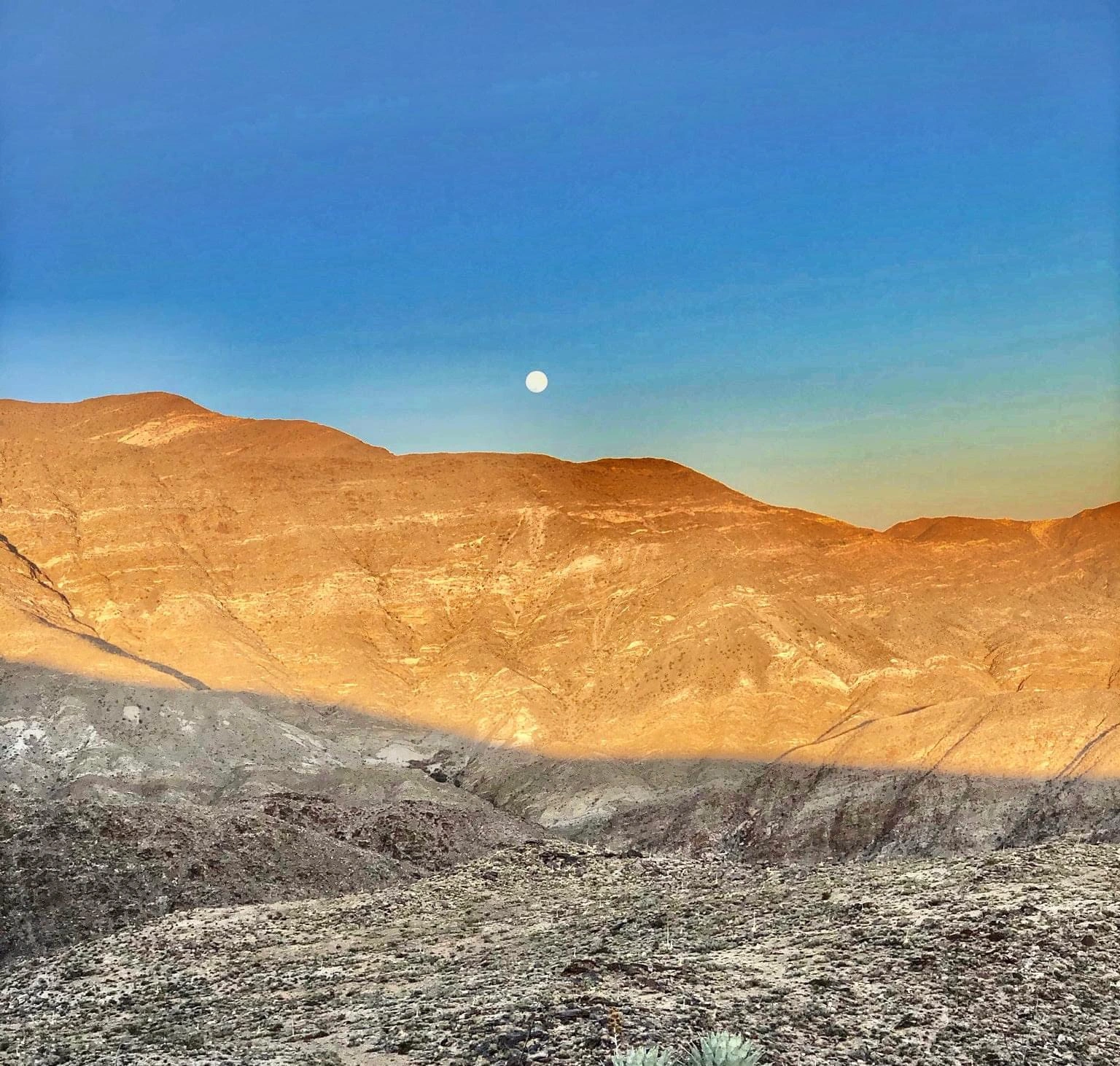
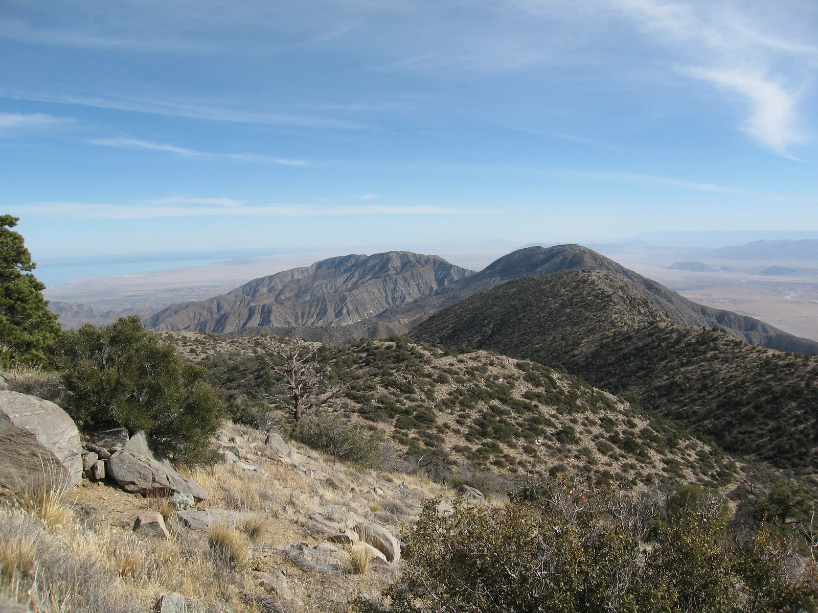
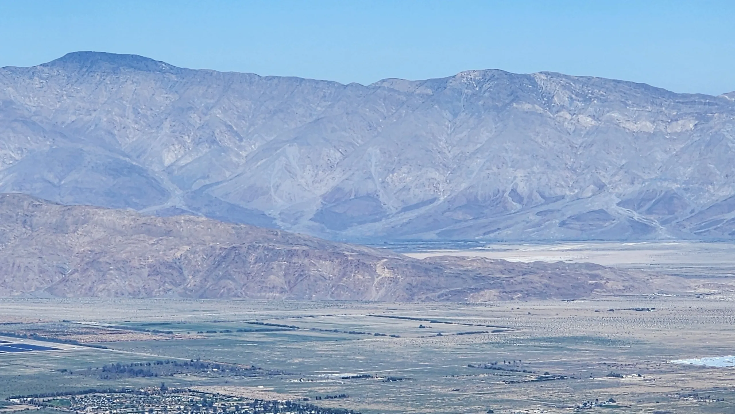
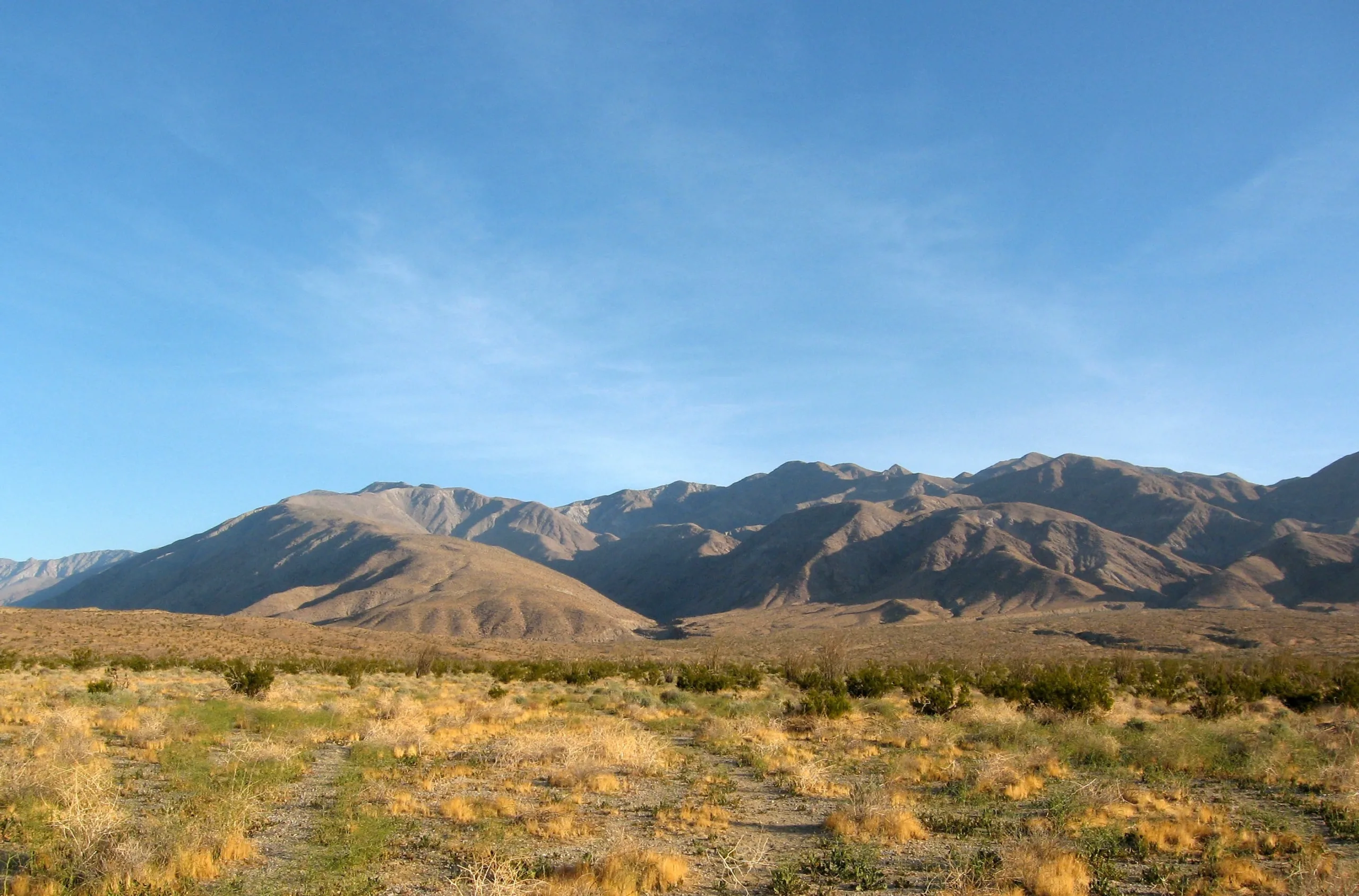
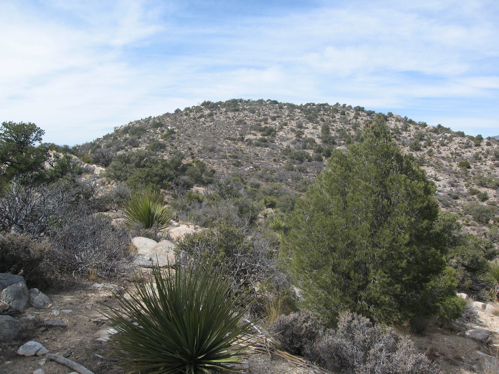
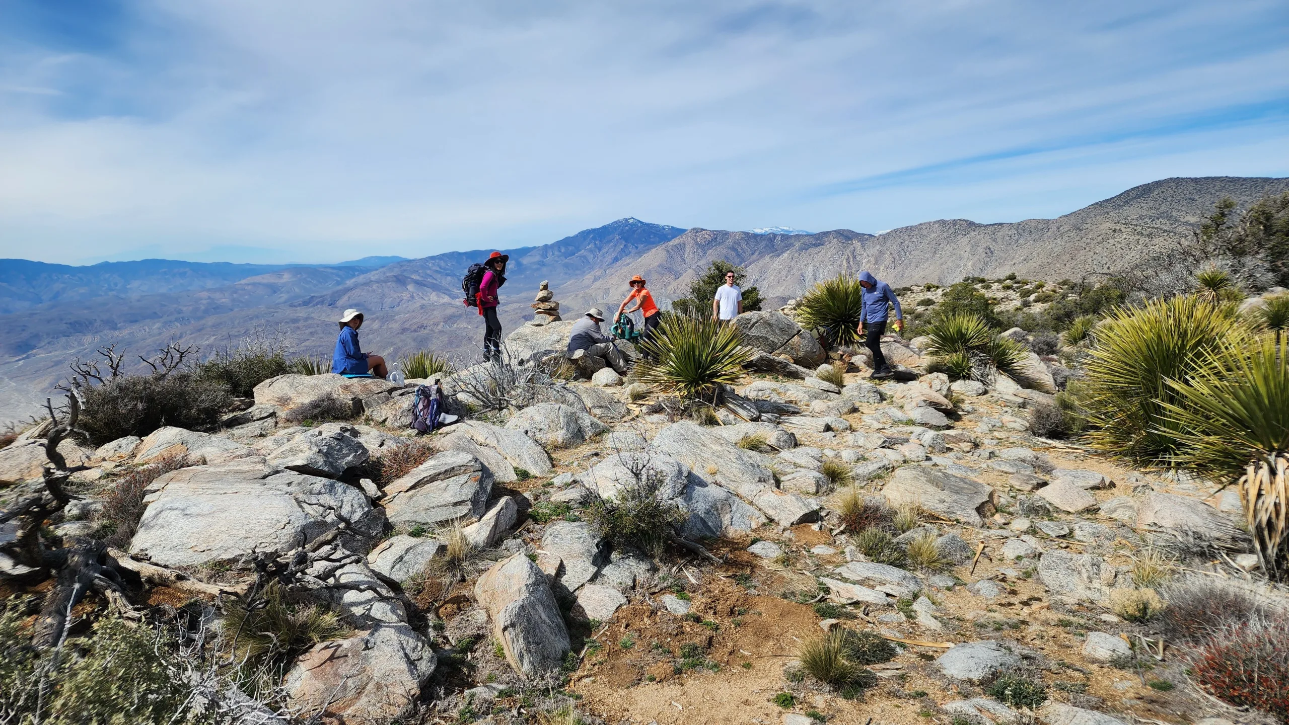
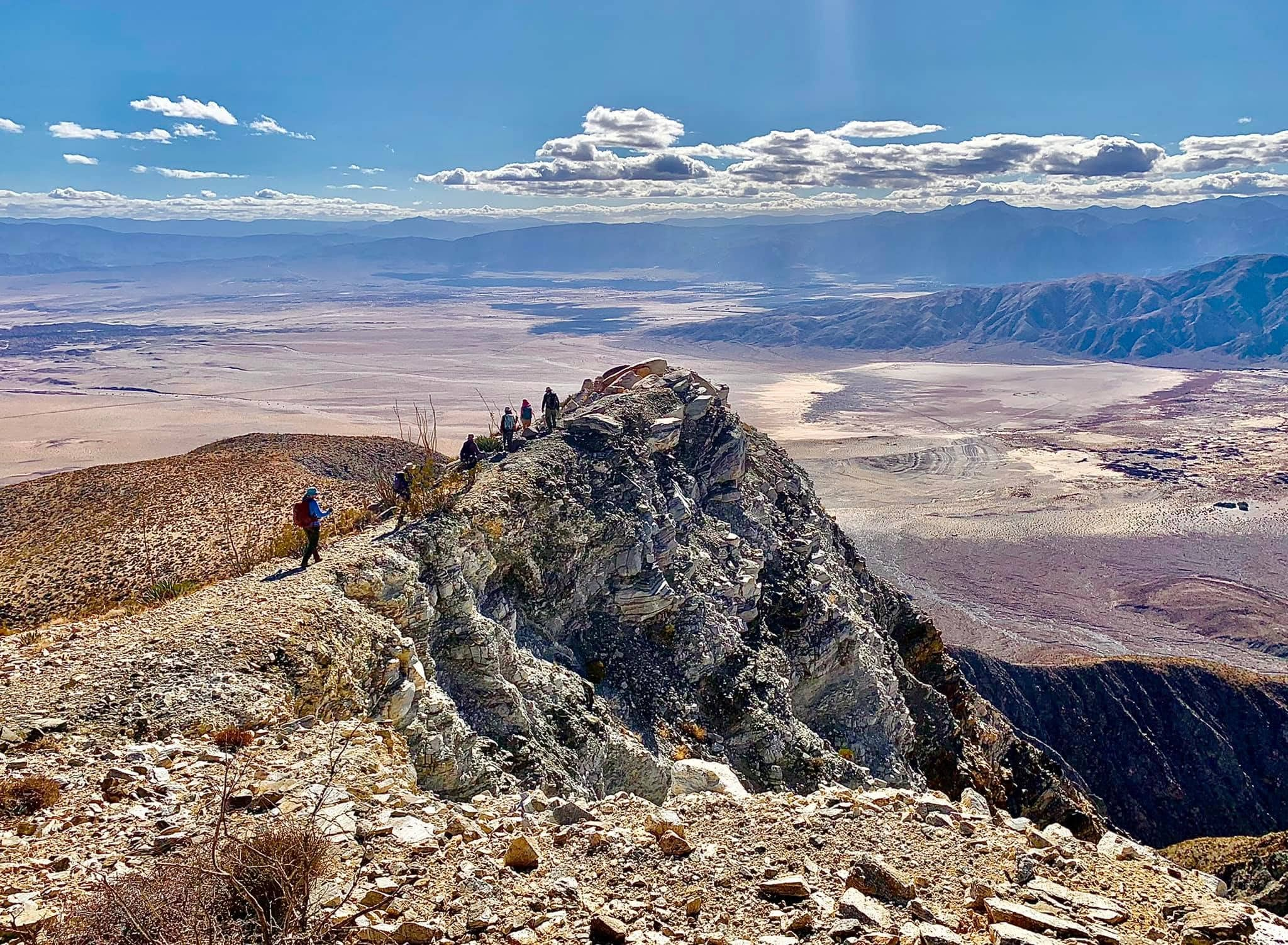
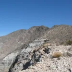
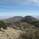
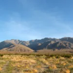
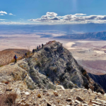
Villager Peak, and its more challenging neighbor, Rabbit Peak #2, are strenuous hikes across a mixture of use trails that loosely follow the spine all the way up from the desert below. Your reward is an incredible view of San Jacinto, San Gorgonio, Toro Peak and of course Rabbit Peak, along with a view down to Clark Dry Lake, all of Anza Borrego below as well as views of the entire Salton Sea to the east. Many people continue on to Rabbit, but Villager is a worthy and popular destination in itself. There are nice (but dry) dispersed camping sites at the peak.
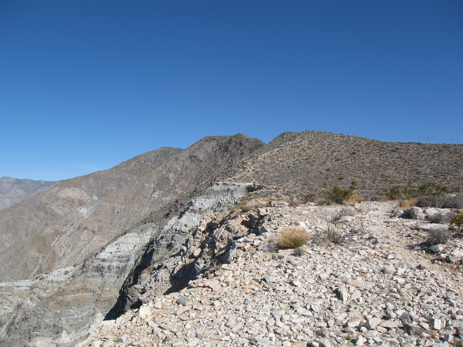
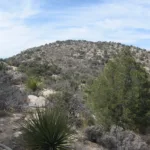
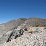
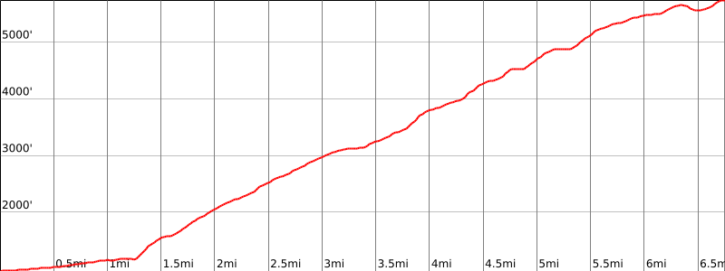
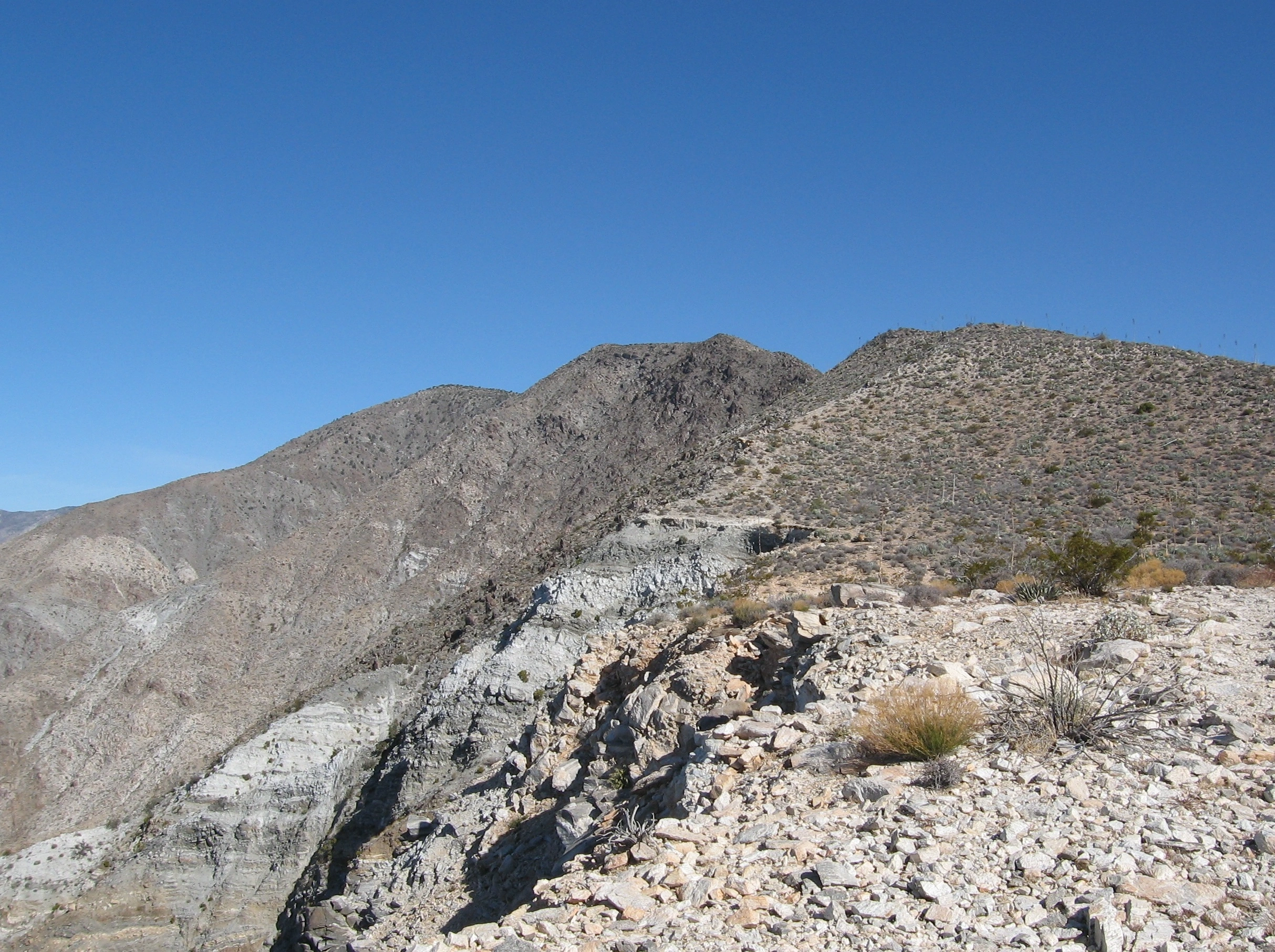
Route 1 begins with a flat walk across the approach terrain before crossing a boulder field and a sand wash. The hike then climbs quickly and it stays to the east of the cliff edge until the 3,800′ “plateau”. The trail closes in on the cliff a few times, but never to the point of feeling dangerous. The ocotillo, yucca and cholla cacti are everywhere, so maintaining a single focus on the hike is wise. As you approach the false peaks in the last 3 miles, there are options to go up and over them or stay east along a variety of use trails. There are rock cairns marking much of the trail. The descent is along the same route and the trail is easier to see as you return to your vehicles, There are several wrong ridges that are easy to get onto when descending, but if you keep the desert in view on your right as you descend you will have no problem. This peak is also done as a backpacking trip in combination with Rabbit Peak #2, but there is no water source, so plan accordingly. This hike is best done between October and March, and should not be attempted during the heat of summer.
Maps generated from CalTopo.com, reproduced with permission
Driving route
Drive east on I-10 to the 86S expressway in Indio.
Drive south toward El Centro on SR 86S Expressway for about 35.5 miles to Salton City.
Turn west on the Borrego-Salton Seaway (S22).
Continue 14.8 miles to a parking area on the right (just past the 32 mile marker) and a dirt road on the left (south). Park in this area on either side of the road. The road on the south of S22 is signed, “Thimble Trail”. There is a good car camping spot on the south side of the highway.
It is also possible to reach the trailhead by driving east on S22 from Christmas Circle in Borrego Springs for about 13.1 miles.
Hiking route
From the parking area (980′), the route is evident. It is the ridge coming south down from Villager Peak.
Hike north across the desert on a good use trail, just past the east end of “Lute” ridge (see topo map, Section 12), to the prominent ridge on the left (west) side of Rattlesnake Canyon.
The use trail switchbacks up the toe of the ridge and then up the steady slope of the ridge over several false summits and up to the summit.
On the descent, take care at 4400′ not to follow the southeast ridge down into Rattlesnake Canyon. Continue on the south trending ridge.
Additional Peak Information
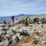
Villager Peak is often combined with Rabbit Peak as a two-day dry backpack. There is no water on the route. Most hikers will camp near or on the summit of Villager Peak.
It is also possible to combine Villager Peak and Rosa Point as a loop trip using the saddle at the top of Rattlesnake Canyon to traverse from one to the other.
The parking area is signed “Thimble Trail”. Opposite this sign, on the north side of S22, is a sign reading “Pack it in / Pack it out”.
Anza-Borrego Desert State Park charges a fee for dirt road use but not along this stretch of highway if you park or car camp between the paved highway and the “Fee Area” sign 100 yards south of the highway. The area just off the south side of the road from the trailhead makes a good site for car camping. Fires are permitted in a metal container; ground fires are not permitted. Do not place the metal container near any vegetation. Dogs are not allowed in the Anza-Borrego Desert State Park.


You must be logged in to upload images.