
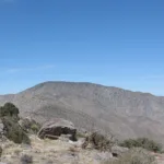
Rabbit Peak #2, taken from Villager, photo by Kathy Wing
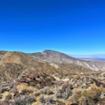
Rabbit #2 #2, photo by Sunny Yi
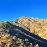
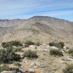
Rabbit #2, taken from Rosa, photo by Sunny Yi
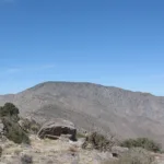
Rabbit #2, taken from Villager, photo by Kathy Wing
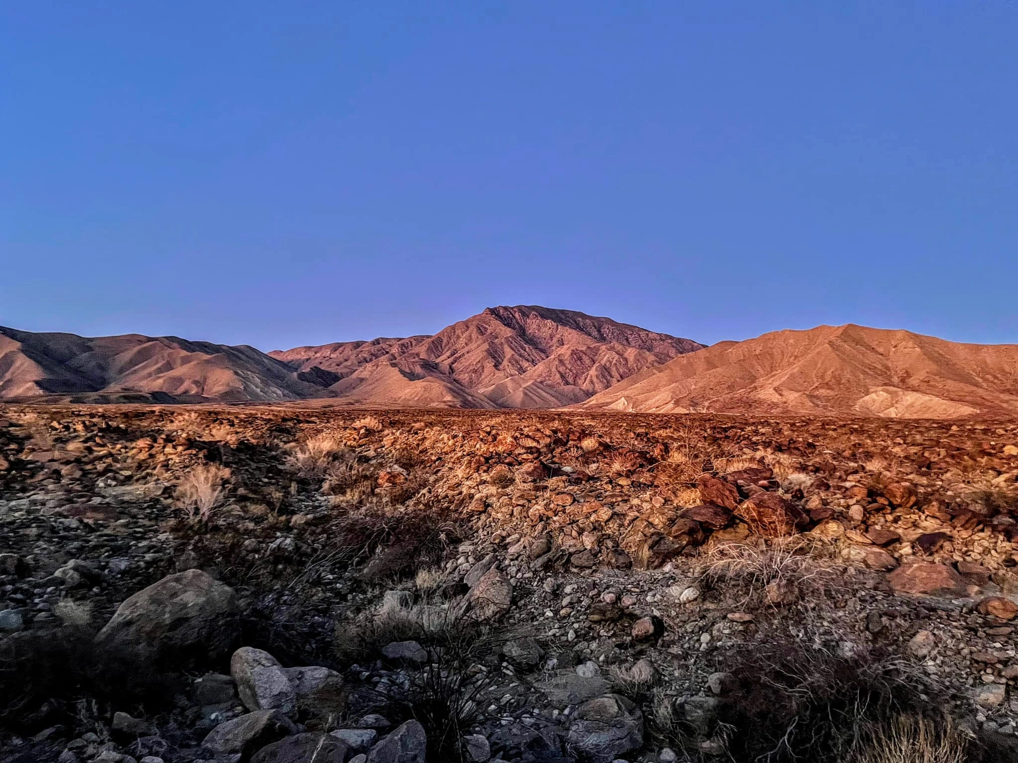
"Big Rabbit" From Villager Peak, photo by Chris Waldheim
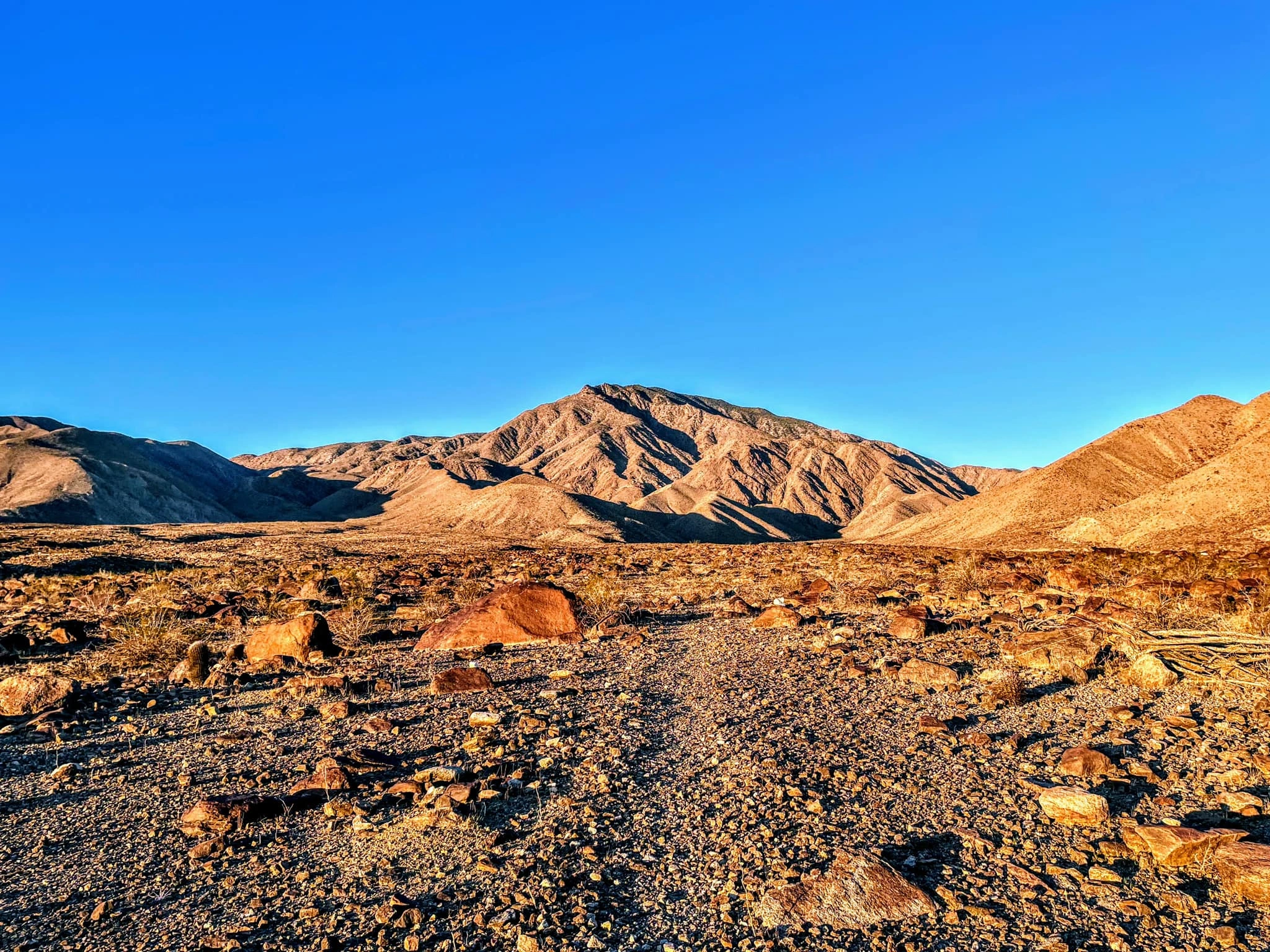
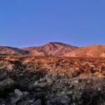
"Big Rabbit" from Wilson Peak, photo by Chris Waldheim
Rabbit #2 Purple, photo by Sunny Yi
Rabbit #2, photo by Sunny Yi
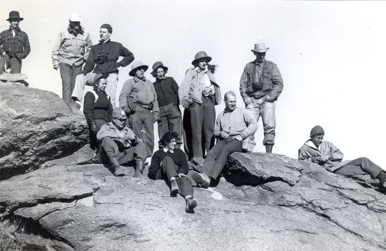
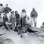
HPS group on "Big Rabbit" 1948, photo by Angeles Chapter Sierra Club Archives
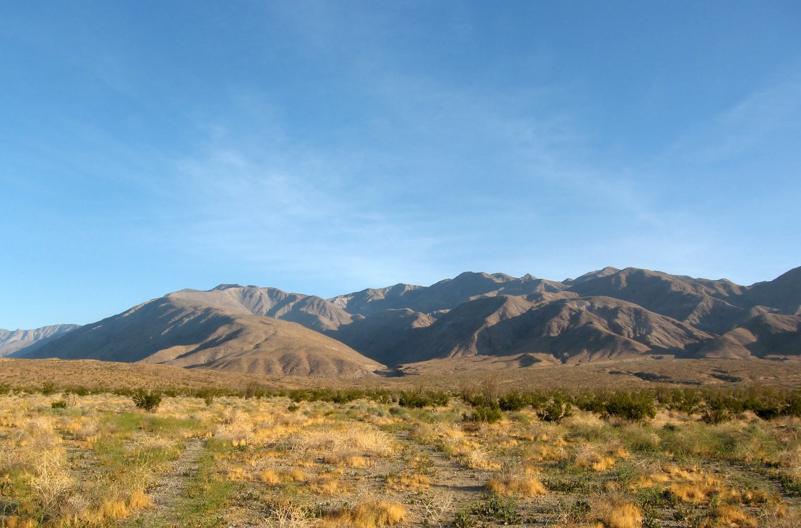
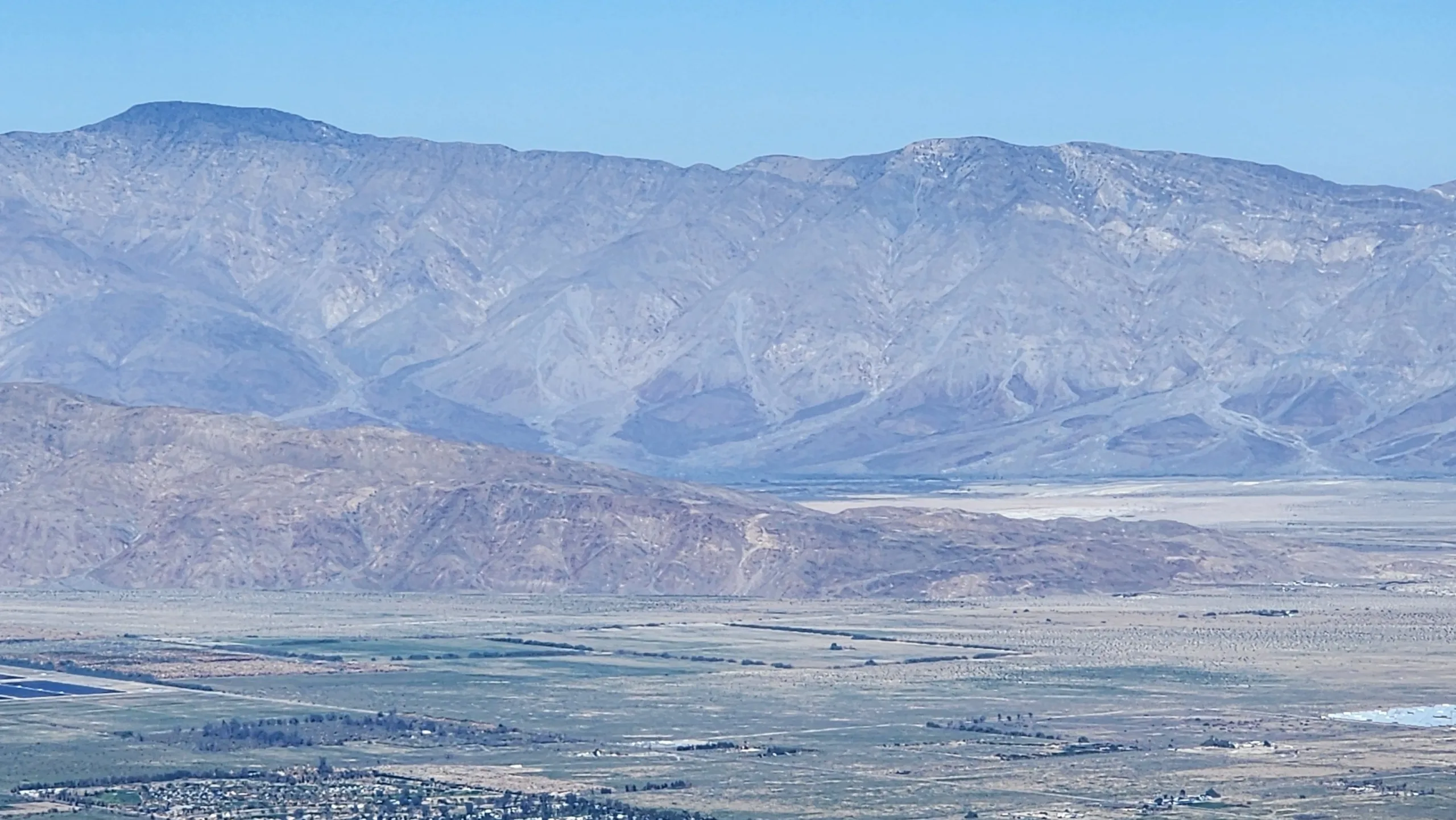
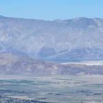
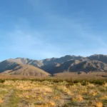
Villager, Rabbit and Rosa Point, photo by Kathy Wing


Peakbagger.com

Nearest ranger station

NOAA Forecast

Google Earth


