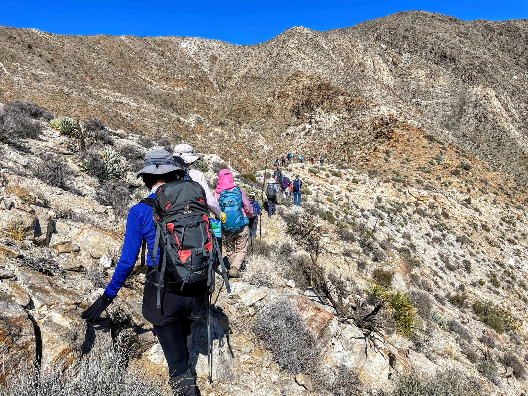
Villager, Rabbit and Rosa Point, photo by Kathy Wing
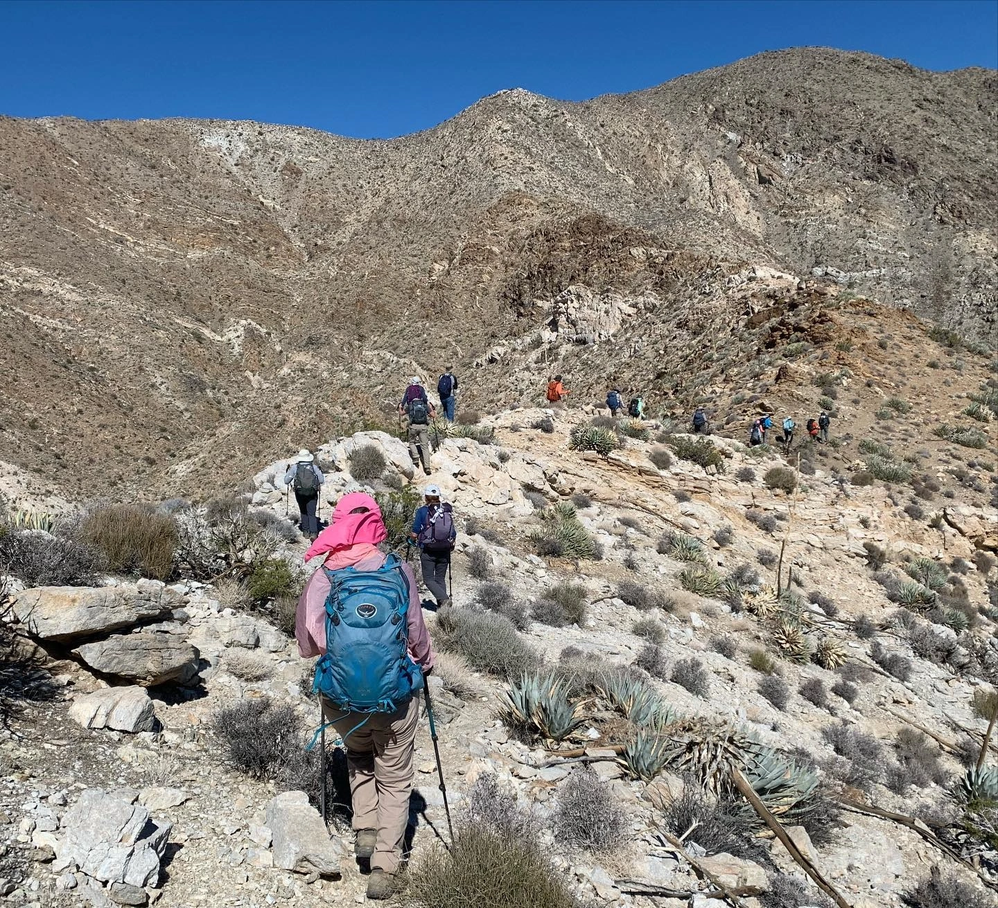
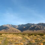
Rosa, photo by Sunny Yi
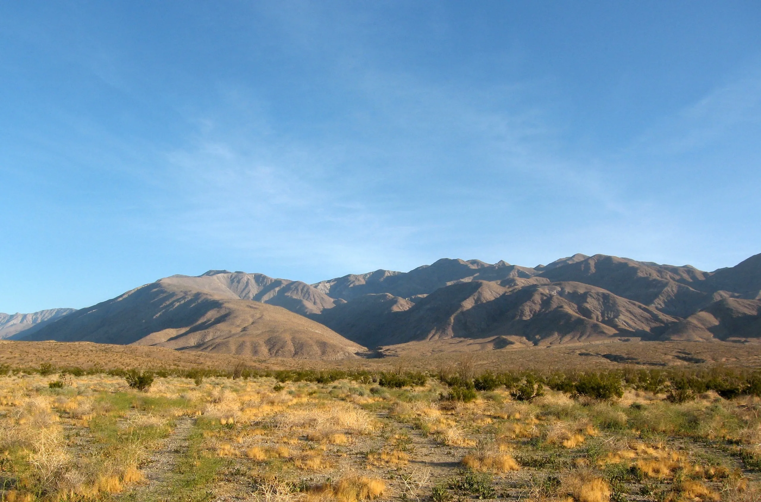
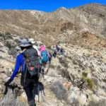
Rosa Square, photo by Sharon Moore
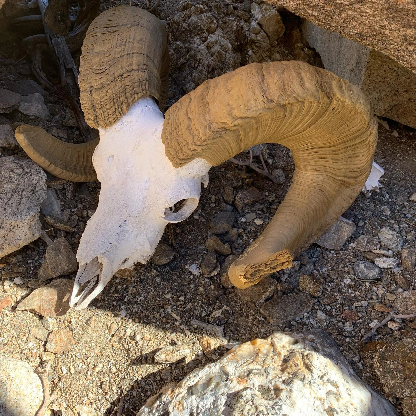
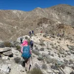
Rosa Sheep Horns, photo by Sunny Yi

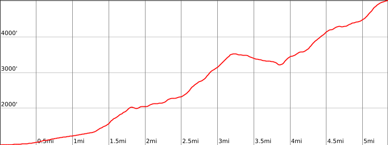

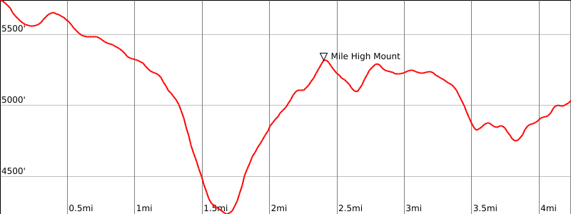
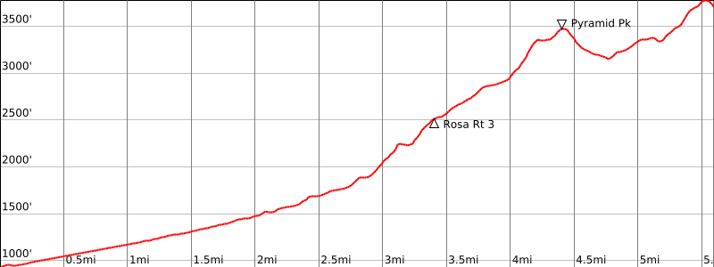

Peakbagger.com

Nearest ranger station

NOAA Forecast

Google Earth


