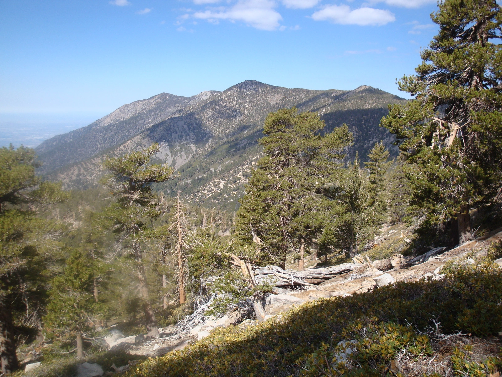
San Bernardino, San Bernardino East, Anderson, and Shields from Dollar Lake Saddle, photo by Kathy Wing
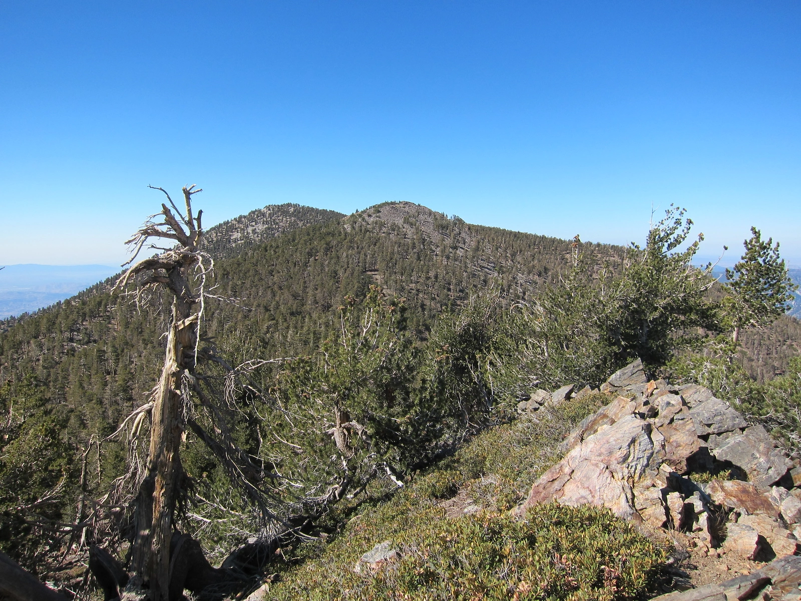
Shields And Erson Behind, taken from Alto Diablo, photo by Kathy Wing


Peakbagger.com

Nearest ranger station

NOAA Forecast

Google Earth


