
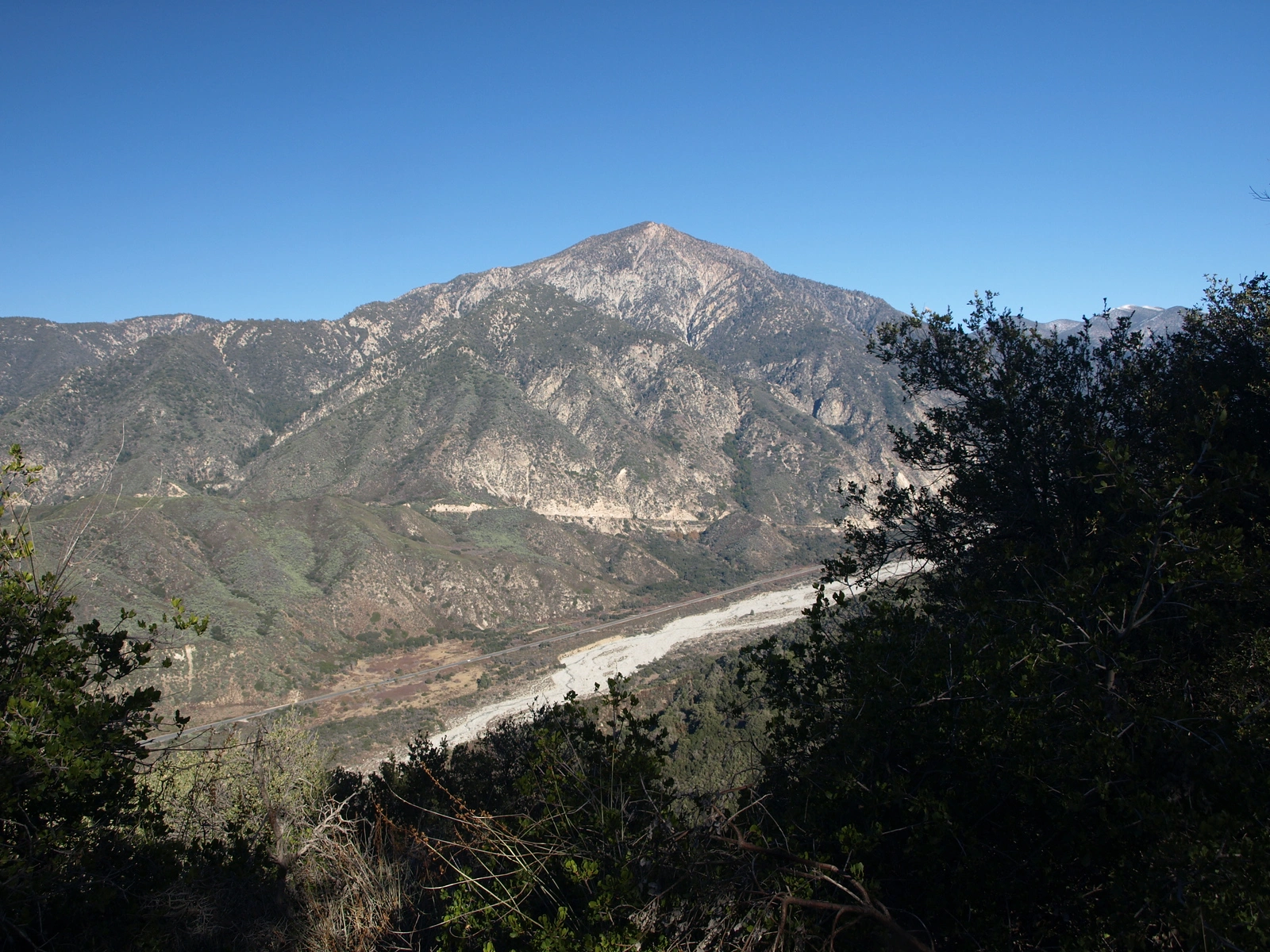
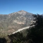
San Bernardino, taken from Anderson, photo by Kathy Wing
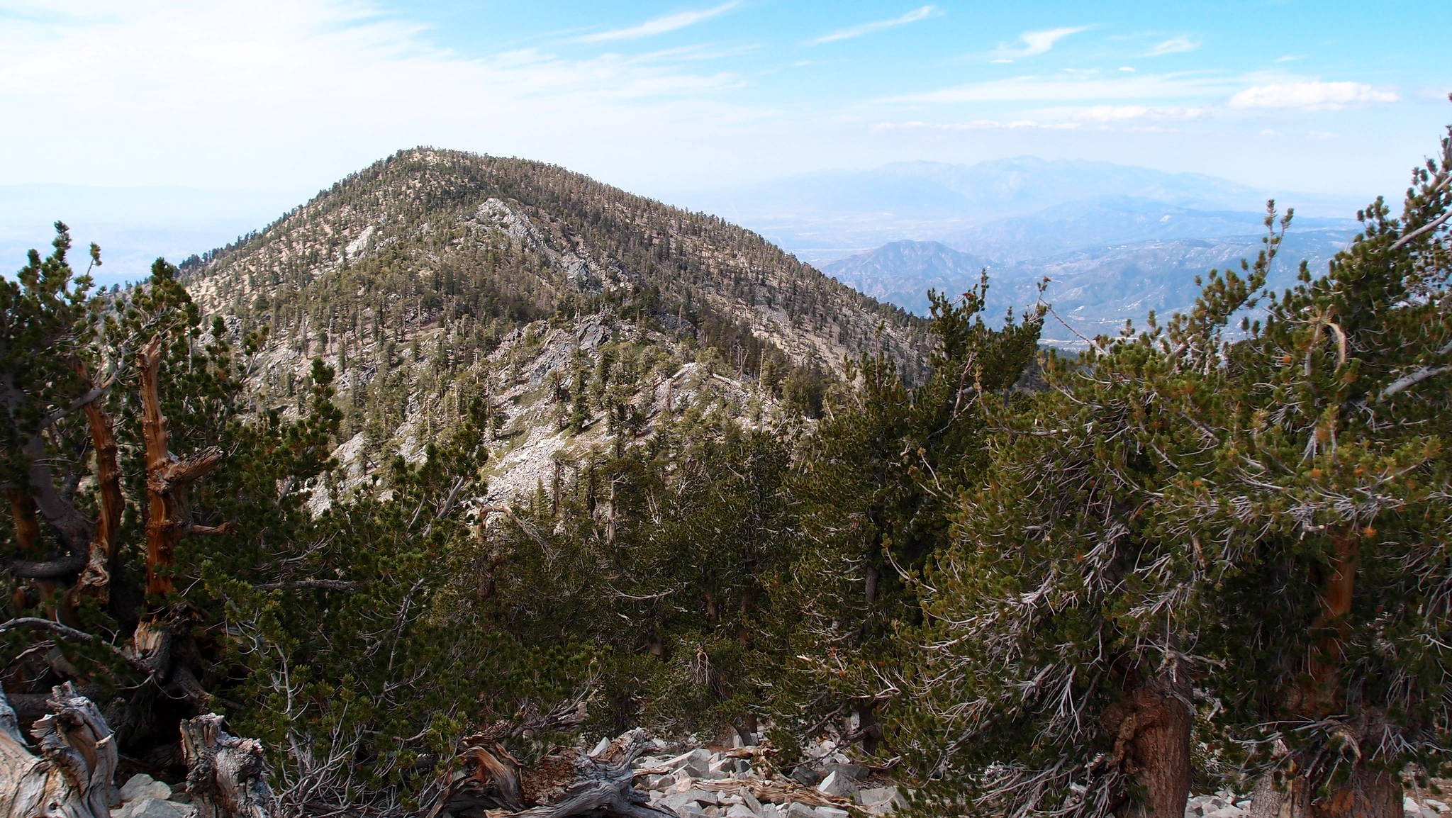
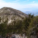
San Bernardino Peak, photo by Kathy Wing
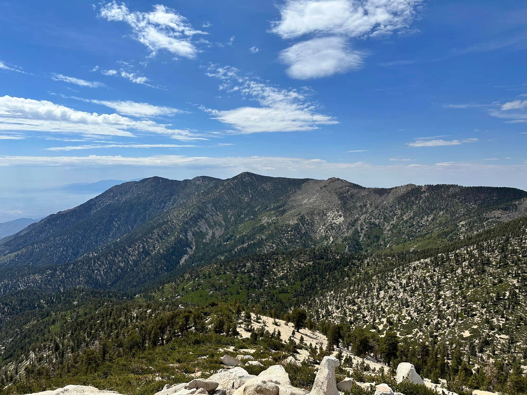
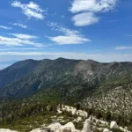
San Bernardino, taken from Gorgonio, photo by Sunny Yi
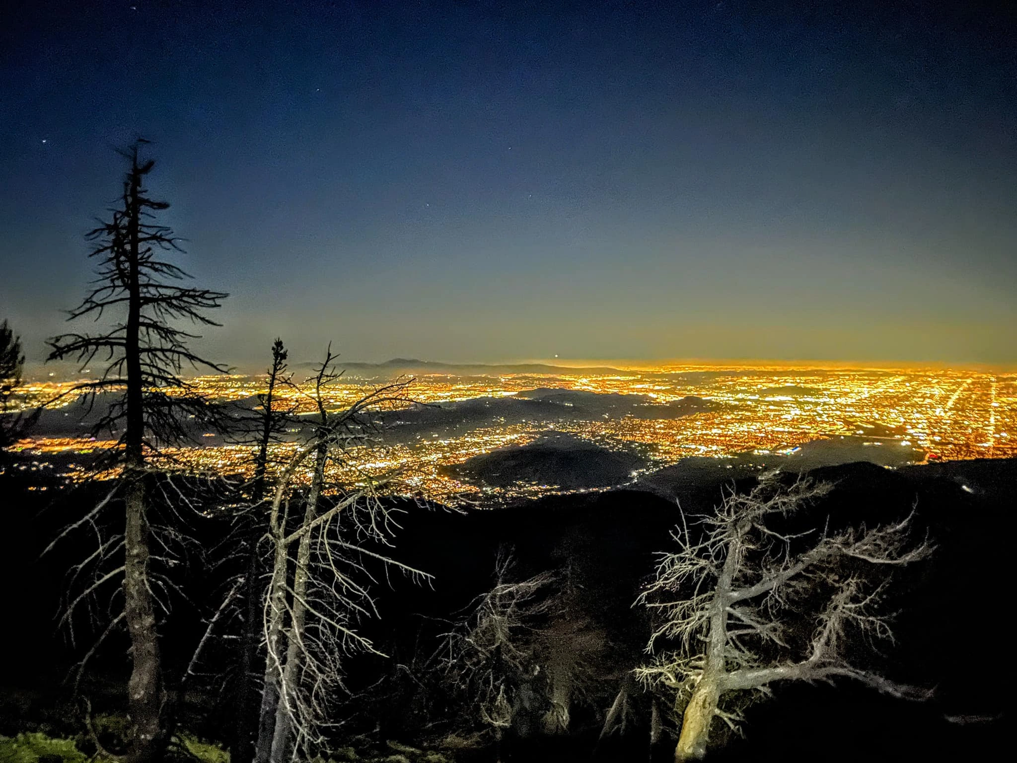
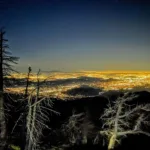
San Bernardino City Lights, photo by Sunny Yi
San Bernardino, taken from Yucaipa Ridge, photo by Kathy Wing


Peakbagger.com

Nearest ranger station

NOAA Forecast

Google Earth


