San Sevaine Lookout

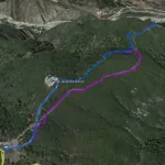
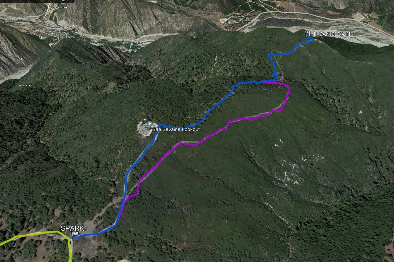
San Sevaine Lookout, Photo by Google Earth.

Peak Name

San Sevaine Lookout
17H

Elevation

5240

 feet

Status

active

Region

Cucamonga Peak Area

Range

San Gabriel Mountains

Nearby peaks

Location

34.2166742,-117.4897729

Description

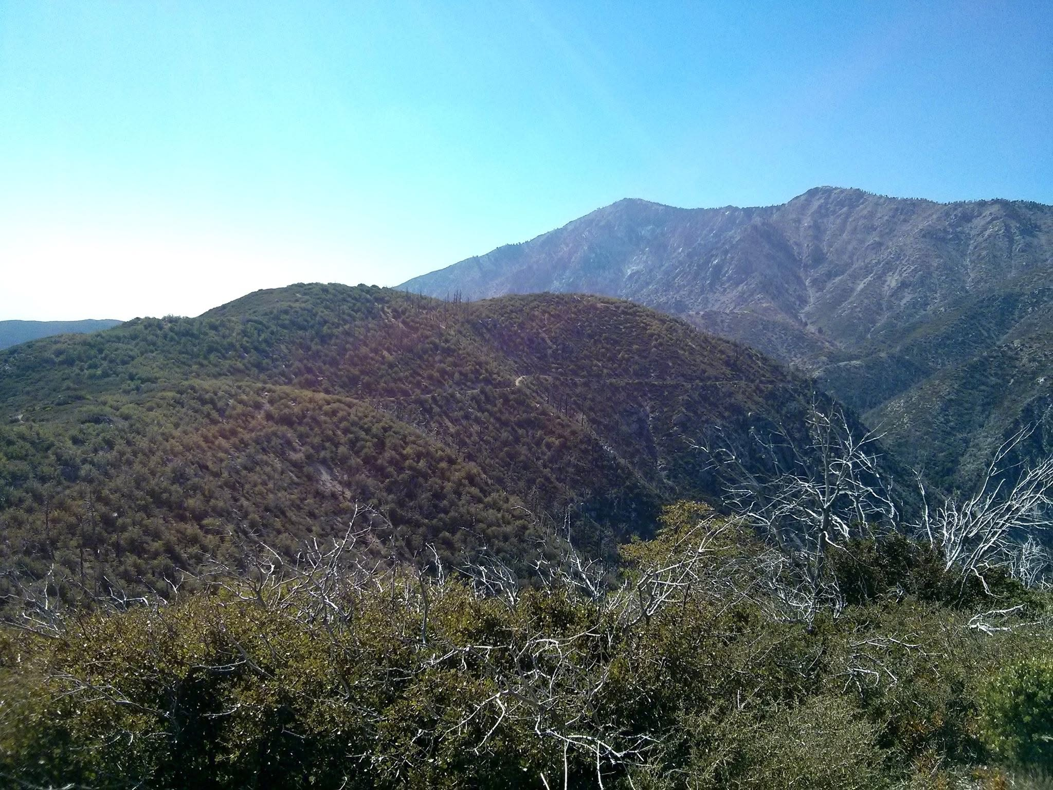
Named after the local wine maker who unsuccessfully tried to start a vineyard here, San Sevaine is the site of the ruins of a fire lookout which burned in 1936 and has ultimately been replaced by communications towers. It is surrounded by towering pines and has marvelous views over the high desert to the north and canyons and the city to the south. The area burned in the 2003 Grand Prix fire and has regrown with heavy brush.

Route 1 follows and old road bed and is extremely brushy. Route 2 goes on road and firebreak. Both routes converge on a final quarter mile use trail that is extremely brushy.

Maps generated from CalTopo.com, reproduced with permission

Route 1
Elevation Gain
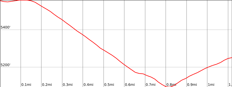
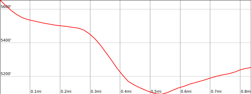
500′ total, 100′ out plus 400′ on return
Navigation Difficulty
Easy
Distance
2 1/2 miles round trip on road
Estimated time
1 1/2-2 hours round trip
Route Rating
Class 1, easy
Leader Rating Required
“O”, normal conditions

Driving route

Take I-10 east and I-15 north to Sierra Avenue. Turn left at the bottom of the off-ramp.
Go 1.6 miles to a dirt road on the left. Turn left. Note your odometer and go as follows:
At 1.0 mile, junction at a power line. Go straight.
At 5.6 miles, fork with 1N36 (closed) on the left. Keep straight.
At 7.8 miles, fork. Turn right.
At 7.9 miles, a difficult to see fork in a saddle. The right fork is closed by an earthen berm. Park here.

Hiking route

From the parking area (5560′), hike over the earthen berm and down the old road bed as it goes down through a saddle and then up to the old lookout site at the end of the road. The register is a rock pile on the left (west) as you approach the old foundation.

Route Notes

Printable Route

Road Type

High-clearance

Google Maps Link to Trailhead 

Route 2
Elevation Gain
700′ total, 150′ out plus 550′ on return
Navigation Difficulty
Easy
Distance
2 miles round trip on use trail and road
Estimated time
1 1/2 hours round trip
Route Rating
Class 1, easy
Leader Rating Required
“O”, normal conditions

Driving route

Take I-10 east and I-15 north to Sierra Avenue. Turn left at the bottom of the off-ramp.
Go 1.6 miles to a dirt road on the left. Turn left. Note your odometer and go as follows:
At 1.0 mile, junction at a power line. Go straight.
At 5.6 miles, fork with 1N36 (closed) on the left. Keep straight.
At 7.8 miles, fork. Turn right.
At 7.9 miles, a difficult to see fork in a saddle. The right fork is closed by an earthen berm. This is the parking for Route 1.
At 8.2 miles, road ends next to some radio towers. Park here.
It is a rough dirt road drive to the trailhead, best done in a high clearance 4WD.

Hiking route

From the parking area (5640+’), walk back down the road about 40 yards. There may be a duck here.
Leave the dirt road on the left and proceed easterly down a hunter’s trail. (Very steep at the top end).
Proceed to the East and then NE, following the trail along the ridge. It may be marked with ribbons and ducks.
At 5160′, you will meet an old dirt road.
Turn left and follow this dirt road down into a saddle at 5100′ and then up to the old lookout side at the end of the road. Expect brush on much of this abandoned road.
The register is in a pile of rocks on the left (west) as you approach the old foundation.

Route Notes

Printable Route

Road Type

High-clearance

Google Maps Link to Trailhead 

Additional Peak Information

Special conditions: The road from Sierra Avenue is closed except in the fall season. Contact this USFS office for details:
Lytle Creek Ranger Station
1209 Lytle Creek Rd
Lytle Creek, CA 92358
(909) 382-2851

Alternate routes: 1N34 is sometimes open from Cucamonga Canyon. This is a long 4WD road and can be very rough and sometimes impassable. It is also possible to hike up the old 1N36 roadbed from the southeast. This is shorter than hiking in from Sierra Avenue.

Nearby Peaks

Backus Peak
Owens Peak
Black Mountain #5
Morris Peak

External Links

mountain 1

Peakbagger.com

Click Here

ranger-tower 1

Nearest ranger station

Click Here

g311

NOAA Forecast

Click Here

worldwide 1

Google Earth

Click Here

Photo Gallery