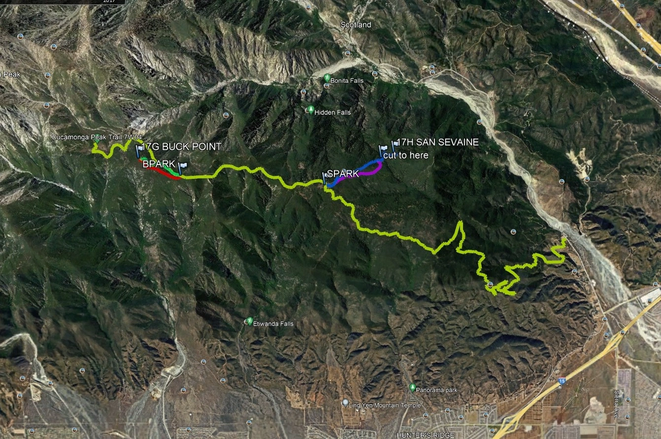
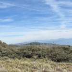
Buck Point, photo by Google Earth
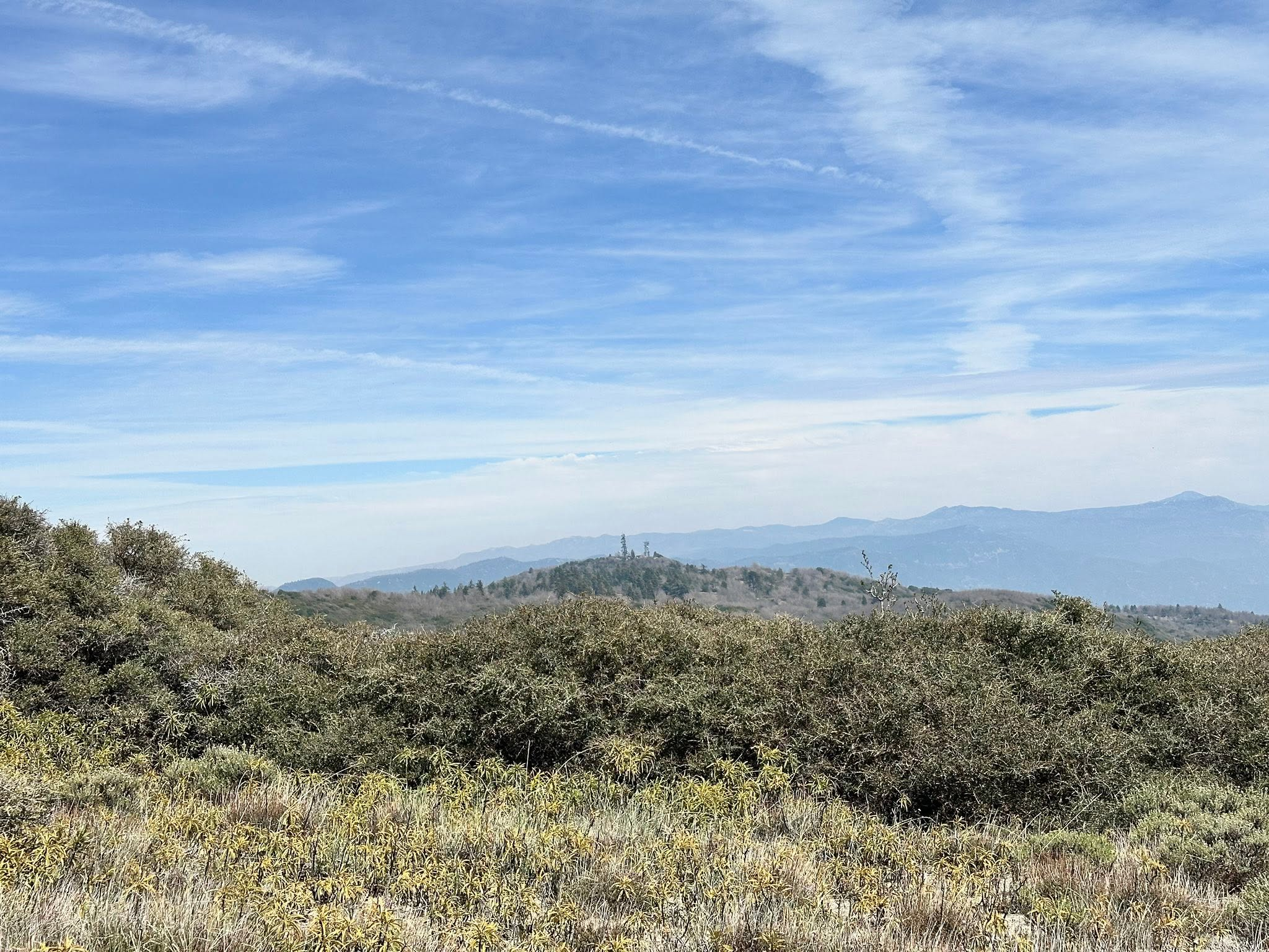
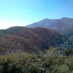
Buck Point with Cucamonga and Etiwanda, taken from San Sevaine Lookout. Photo by Zobeida Arauz


Peakbagger.com

Nearest ranger station

NOAA Forecast

Google Earth


