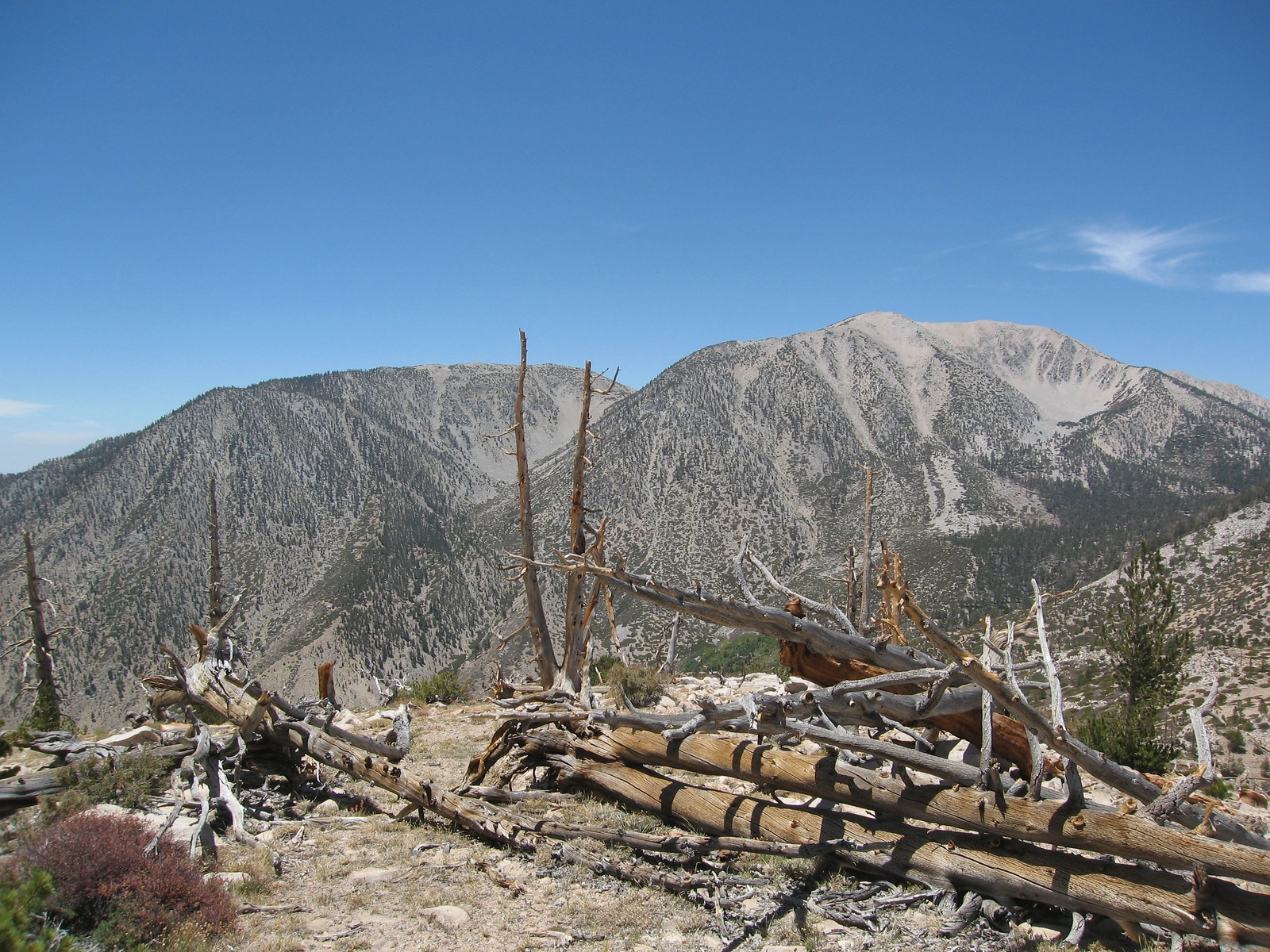
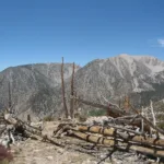
San Gorgonio Mountain, Bighorn Mountain, photo by Kathy Wing
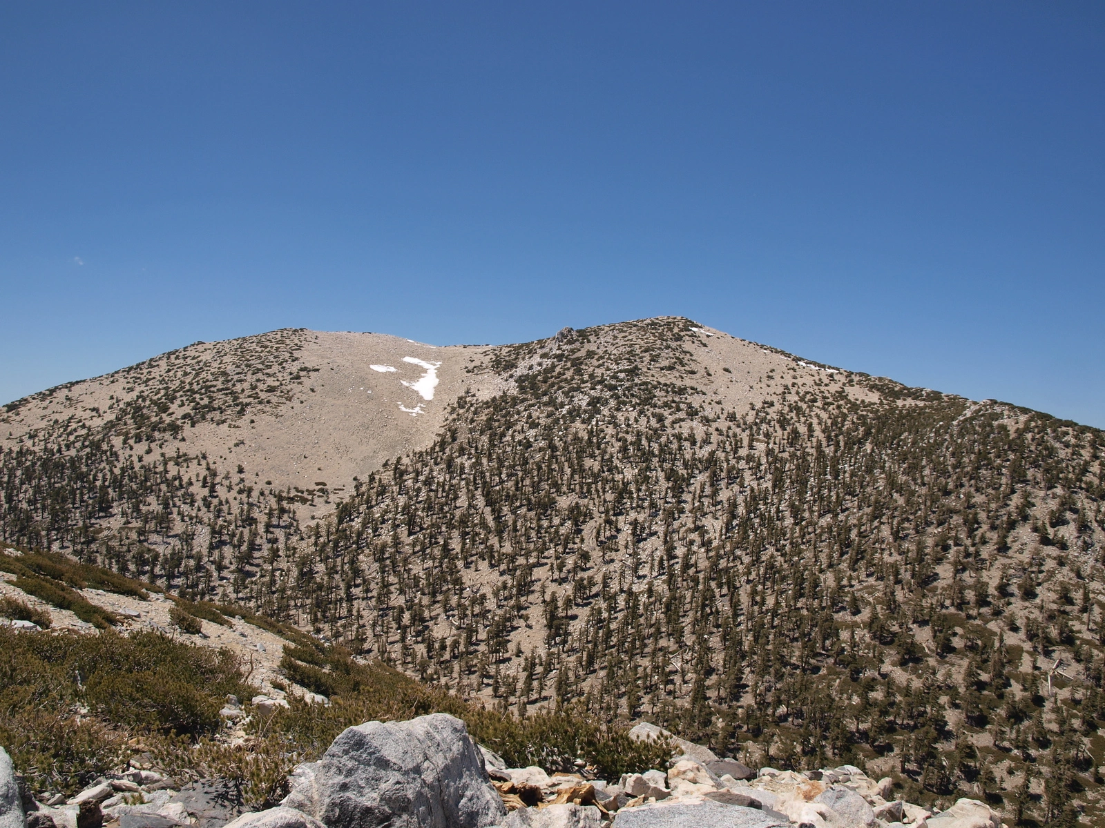
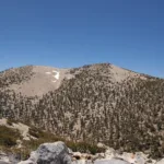
Gorgonio Approaching Summit Zone, photo by Kathy Wing
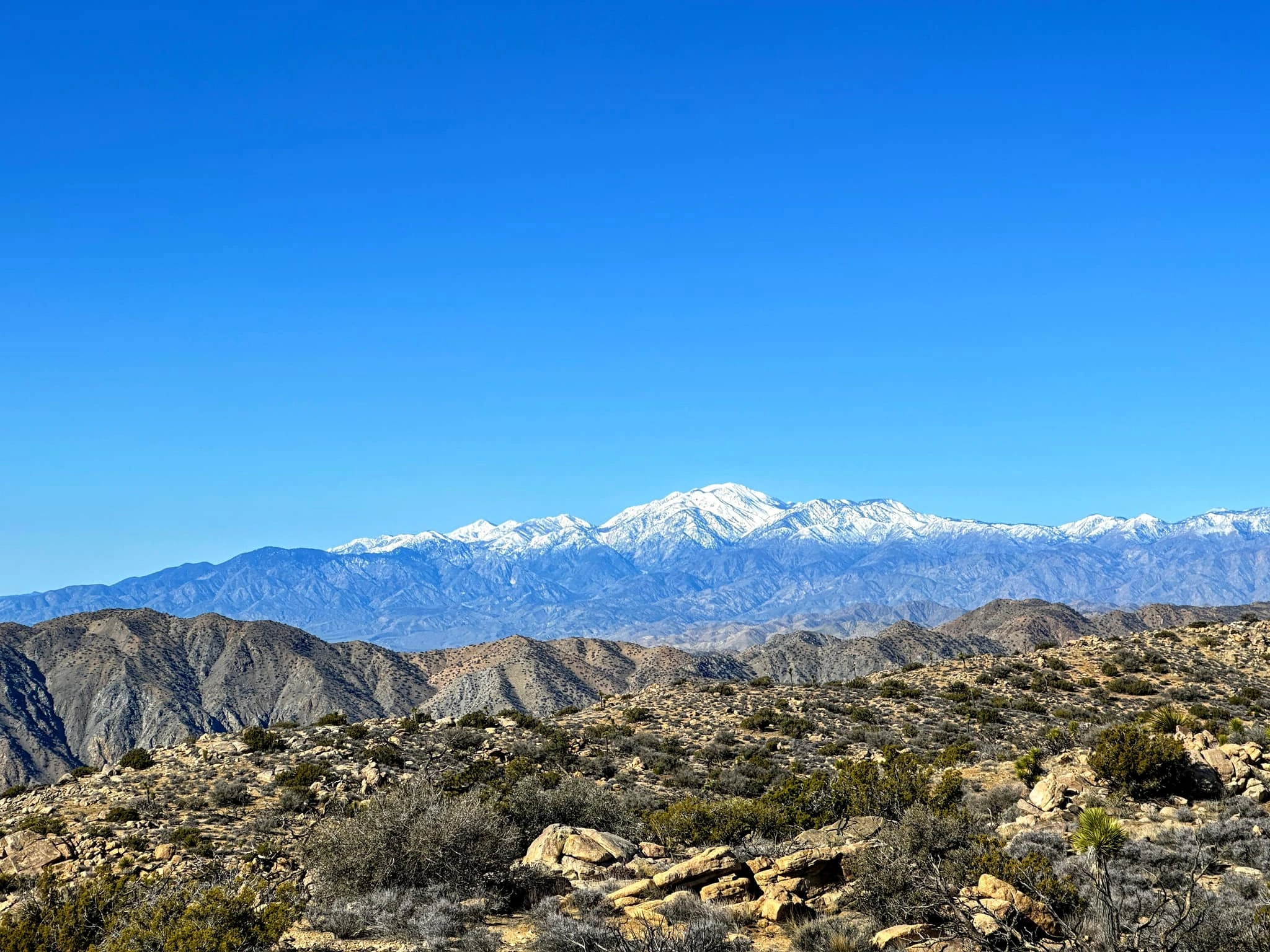
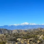
Gorgonio Distance, taken from Jt, photo by Sunny Yi
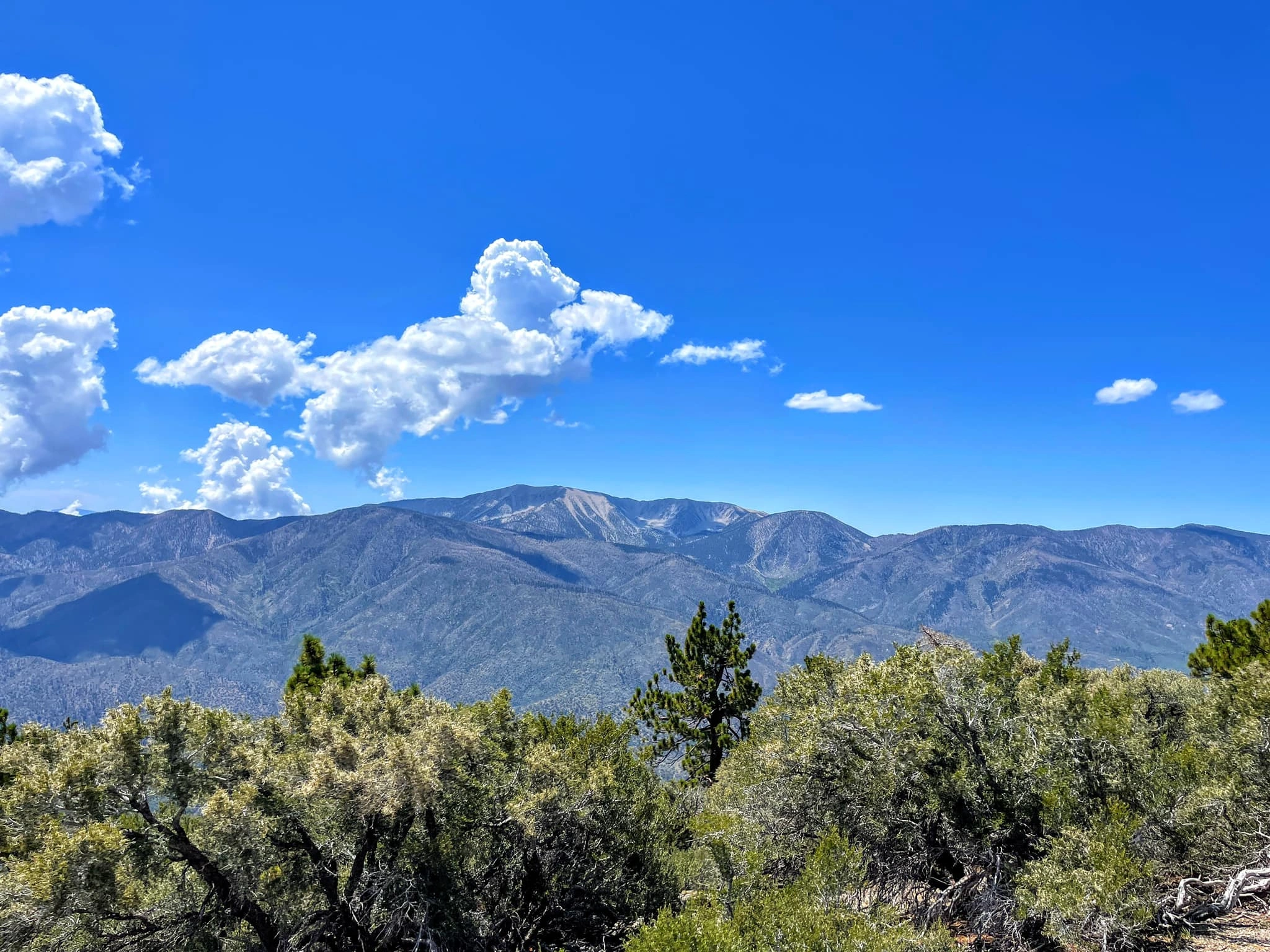
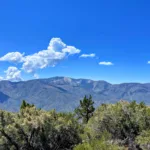
Gorgonio Distance, taken from Sugarloaf, photo by Sunny Yi
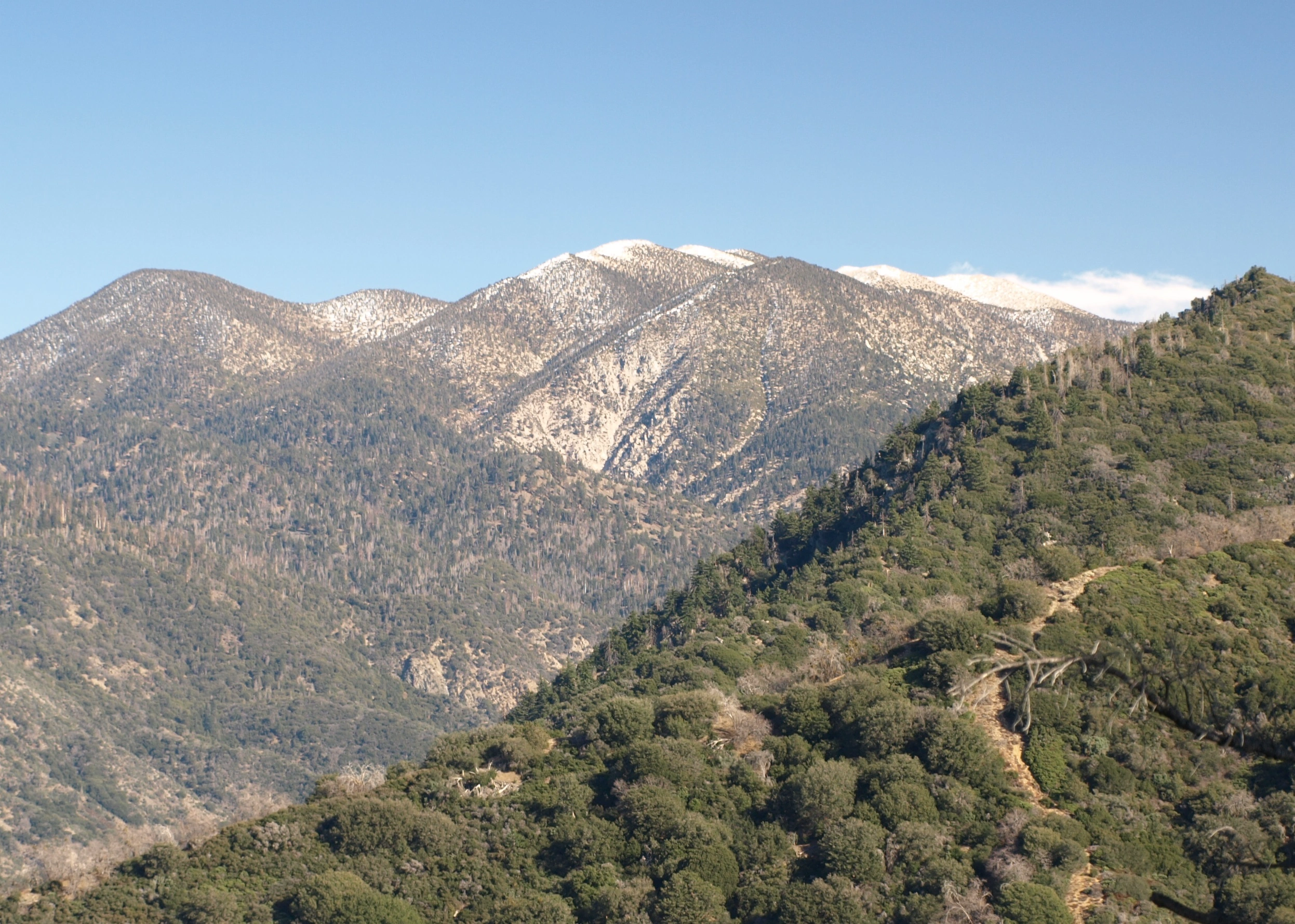
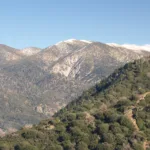
Gorgonio, taken from Yucaipa Ridge, photo by Kathy Wing
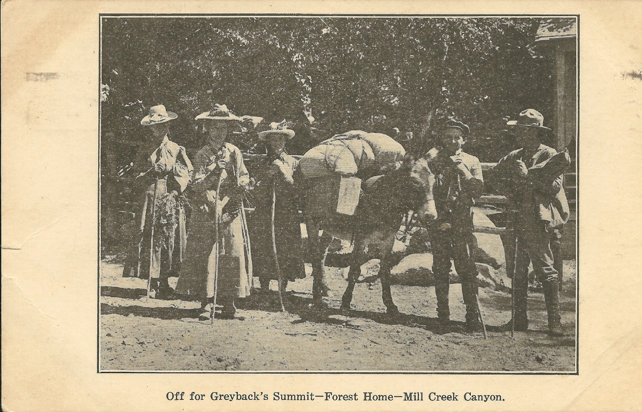
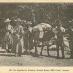
Trip to San Gorgonio in 1907, photo by Angeles Chapter Sierra Club Archives


Peakbagger.com

Nearest ranger station

NOAA Forecast

Google Earth


