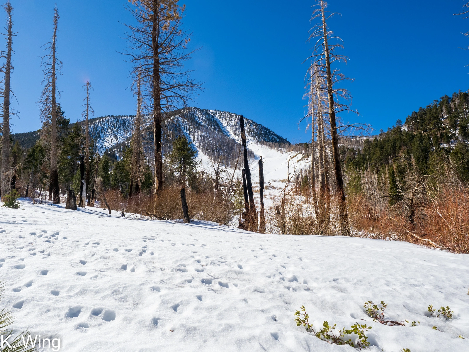
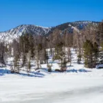
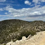
Charlton Peak with Little Charlton, photo by Kathy Wing
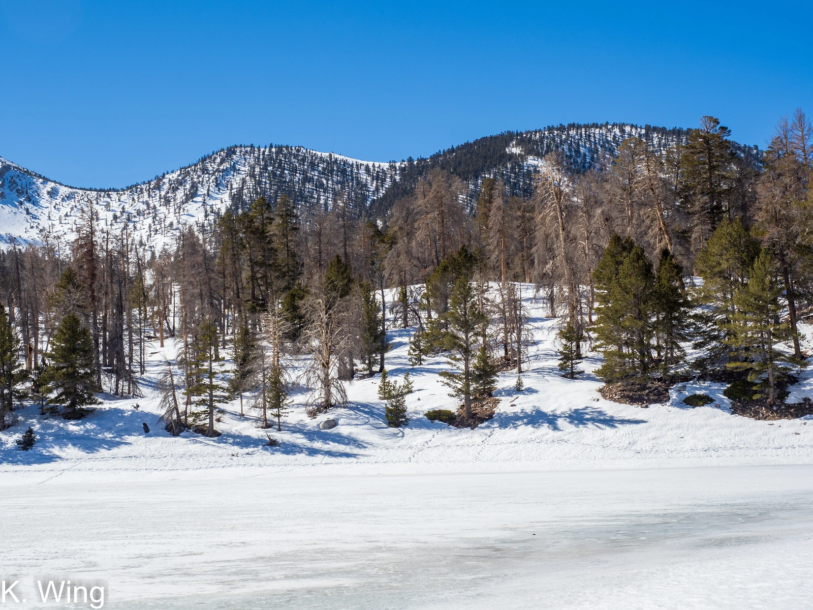
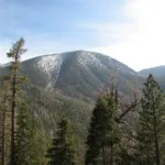
Charlton, taken from Dry Lake, photo by Kathy Wing
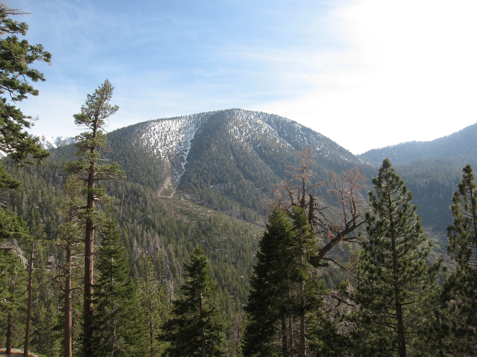
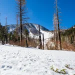
Charlton, taken from South Fork, photo by Kathy Wing
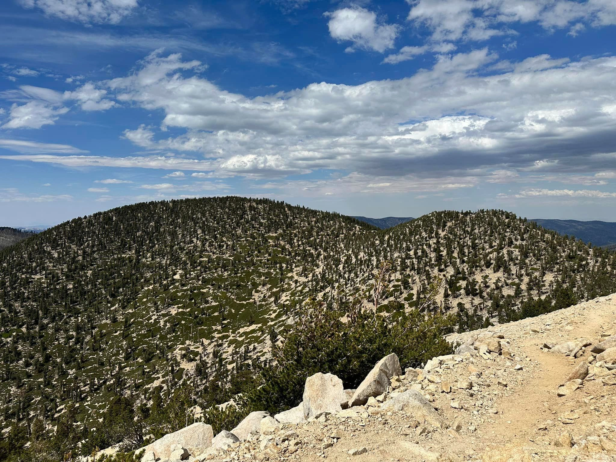
Charlton Little Charlton, photo by Sunny Yi
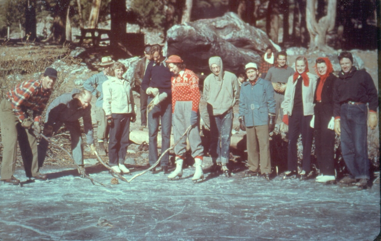
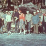
Ice skating on Dollar Lake, Sierra Club trip 1948, photo by Angeles Chapter Sierra Club Archives


Peakbagger.com

Nearest ranger station

NOAA Forecast

Google Earth


