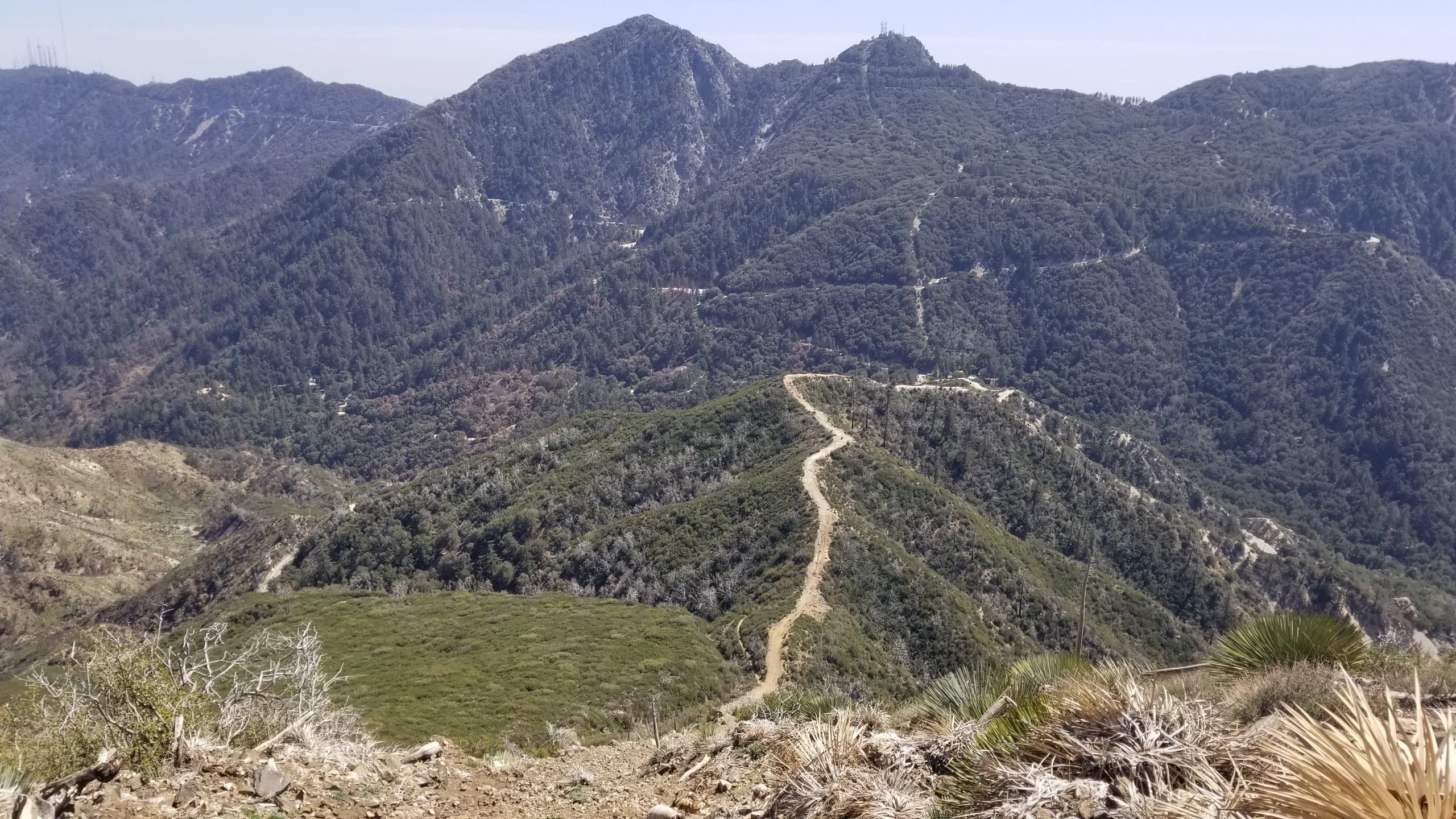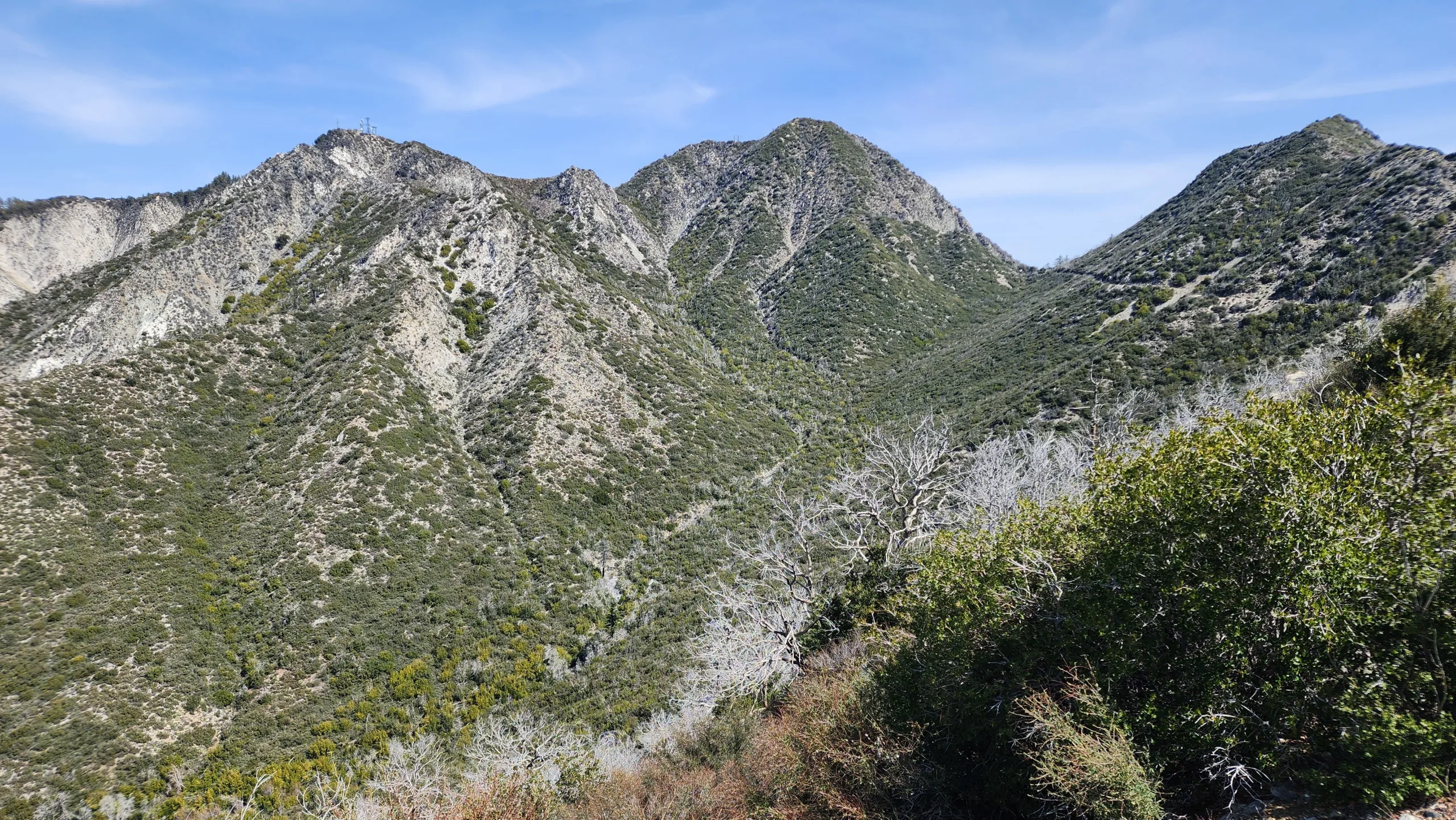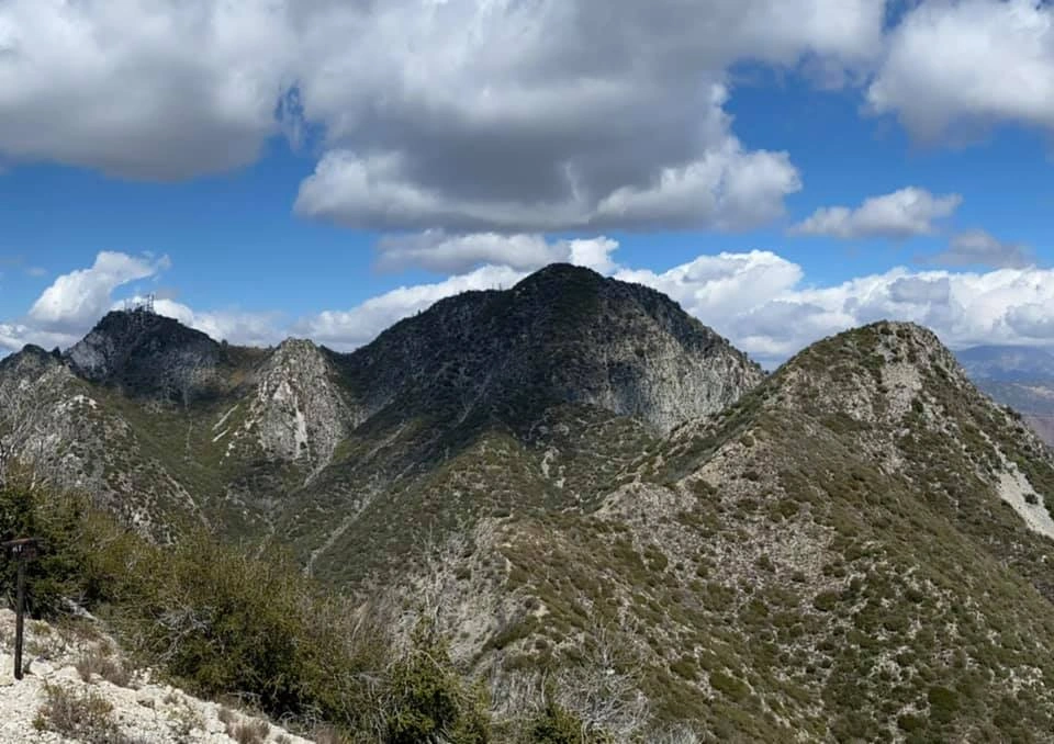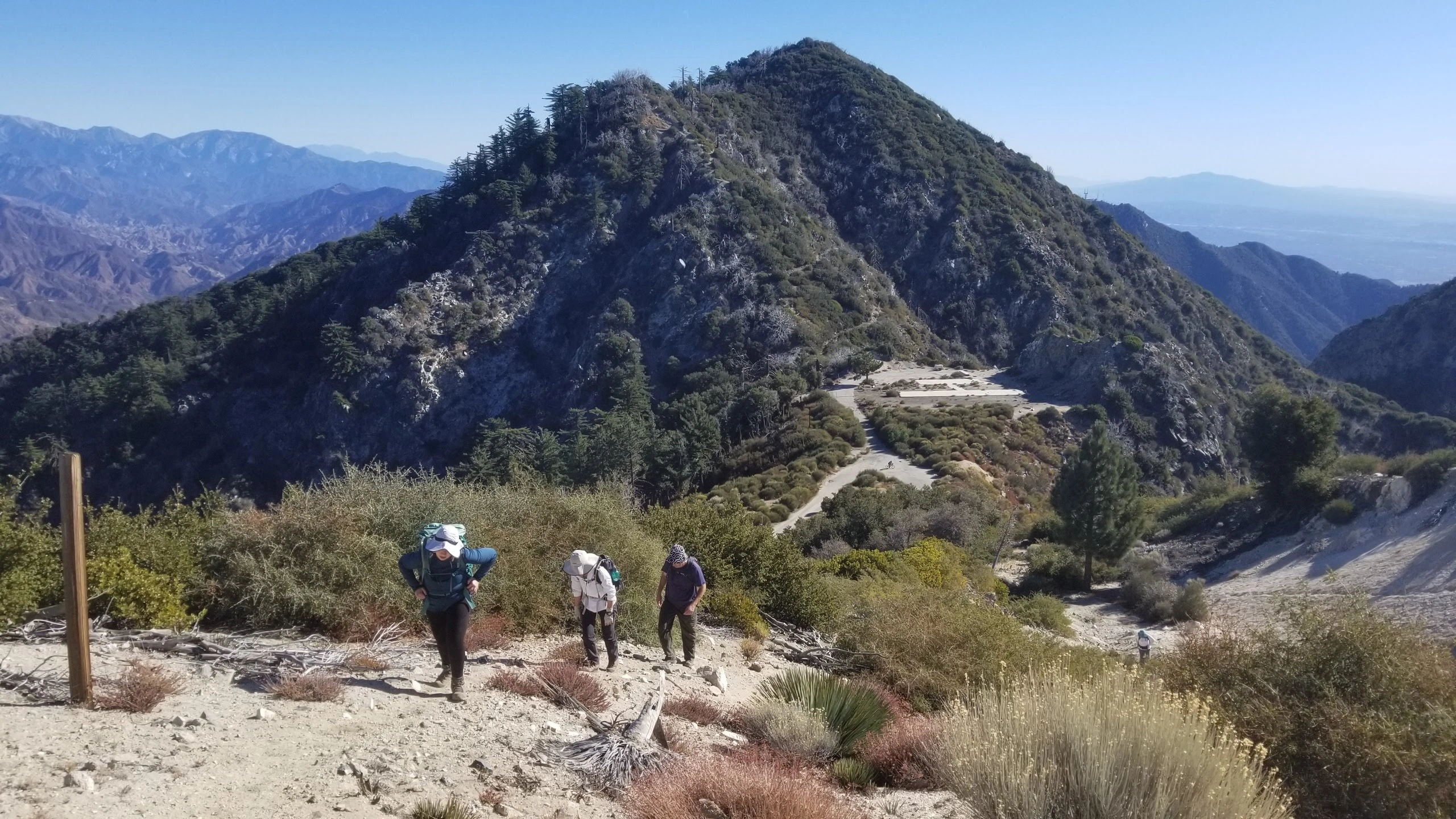
San Gabriel Peak

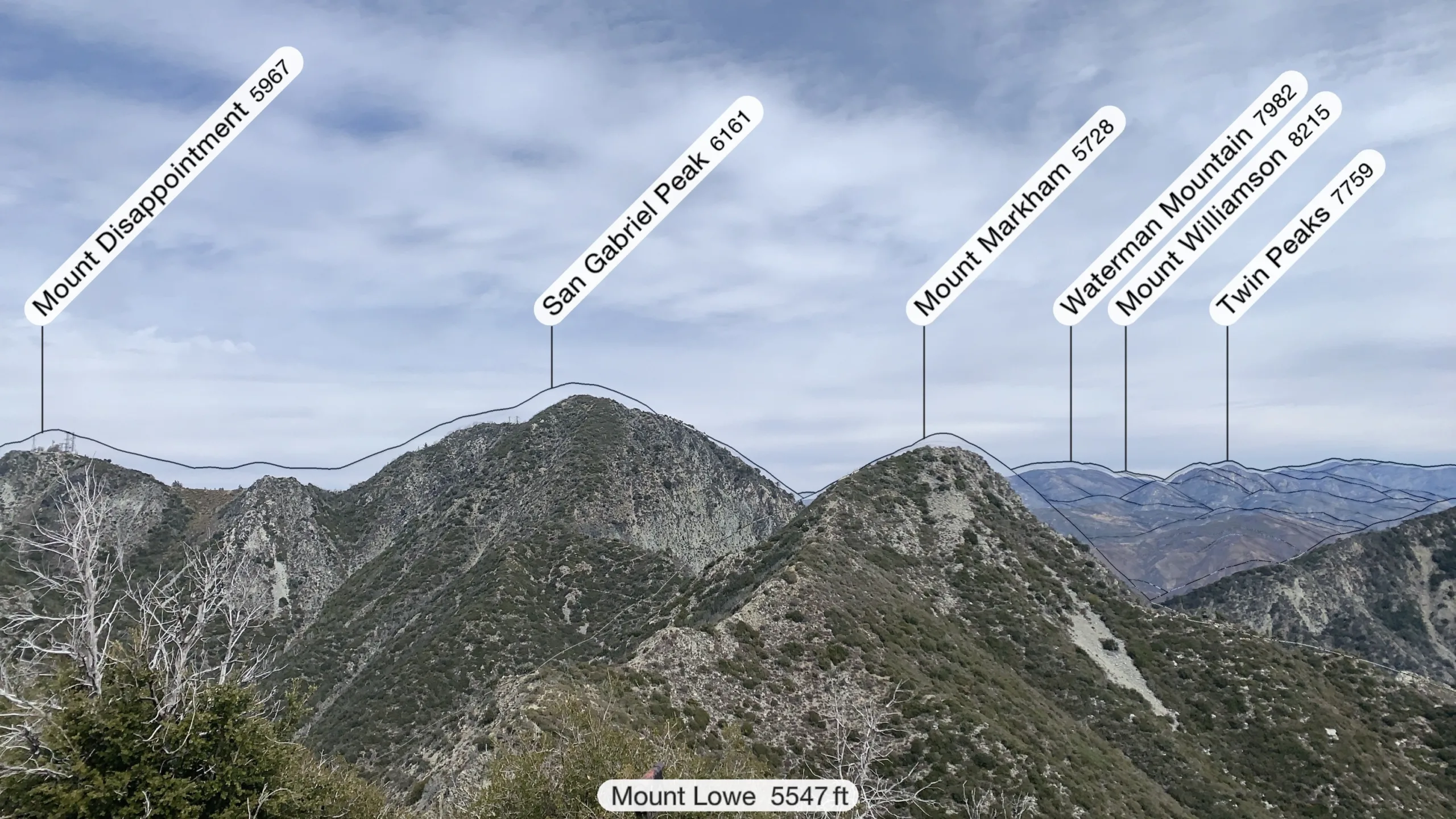
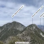
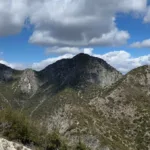
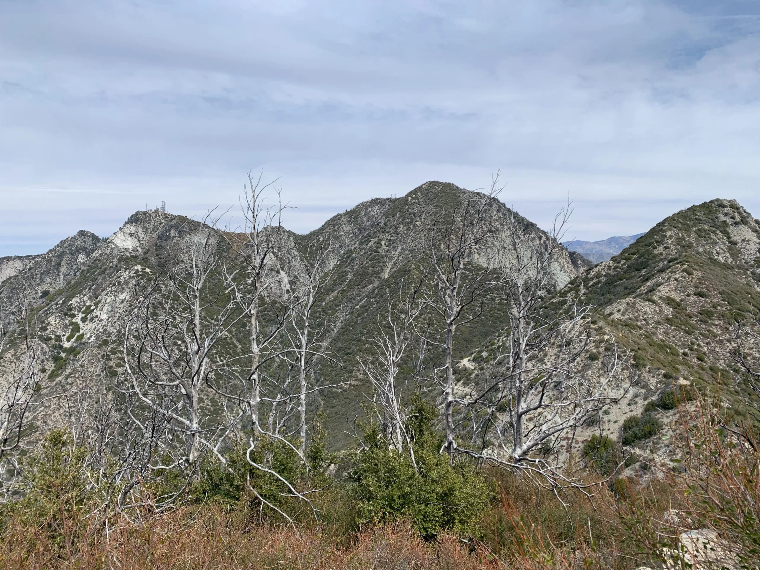
San Gabriel Peak, taken from Mount Lowe, Photo by Sharon Moore.

Peak Name

San Gabriel Peak
12C

Elevation

6161

 feet

Status

active

Region

Mount Wilson Area

Range

San Gabriel Mountains

Location

34.2433364,-118.0984032

Description

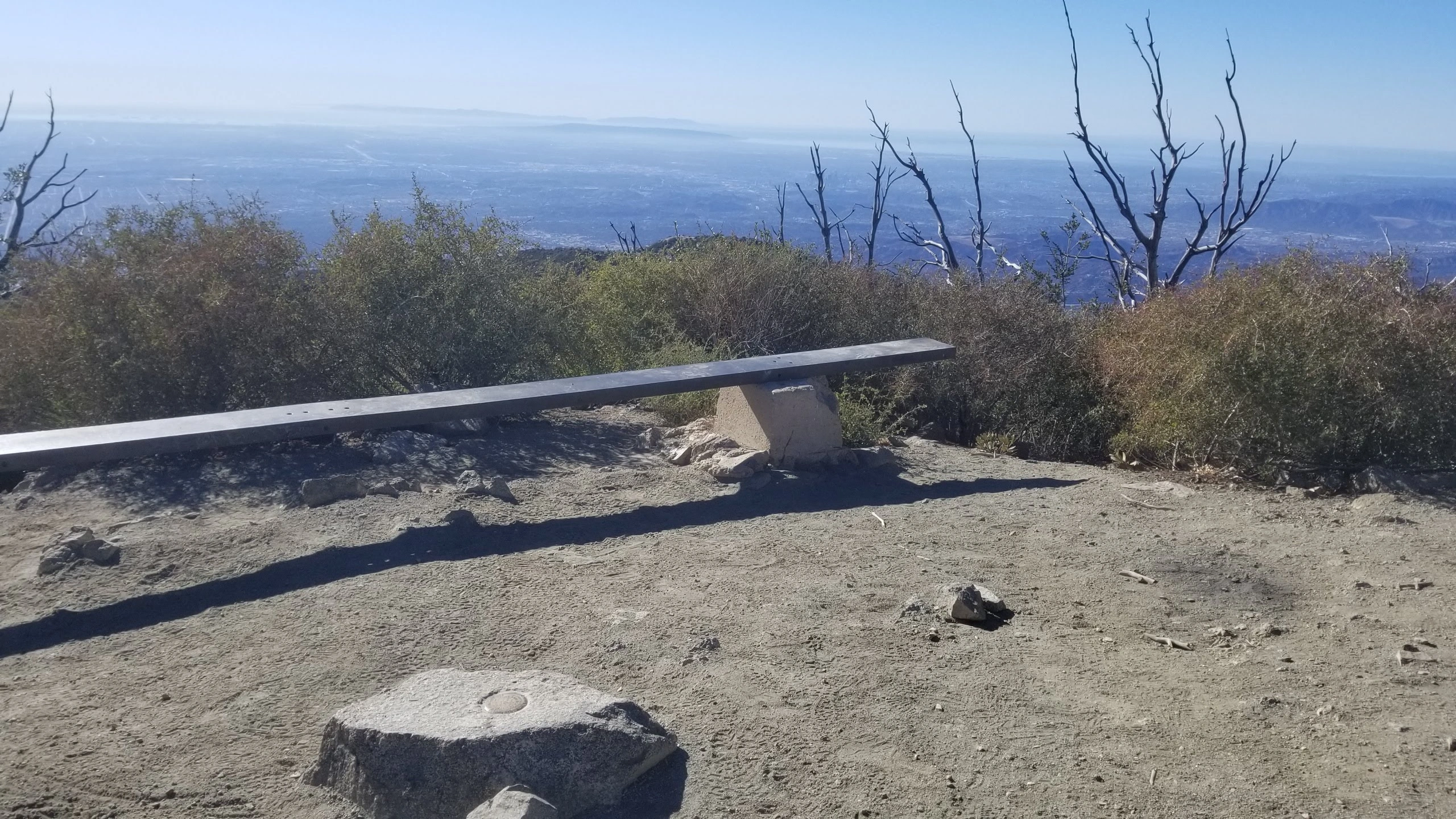
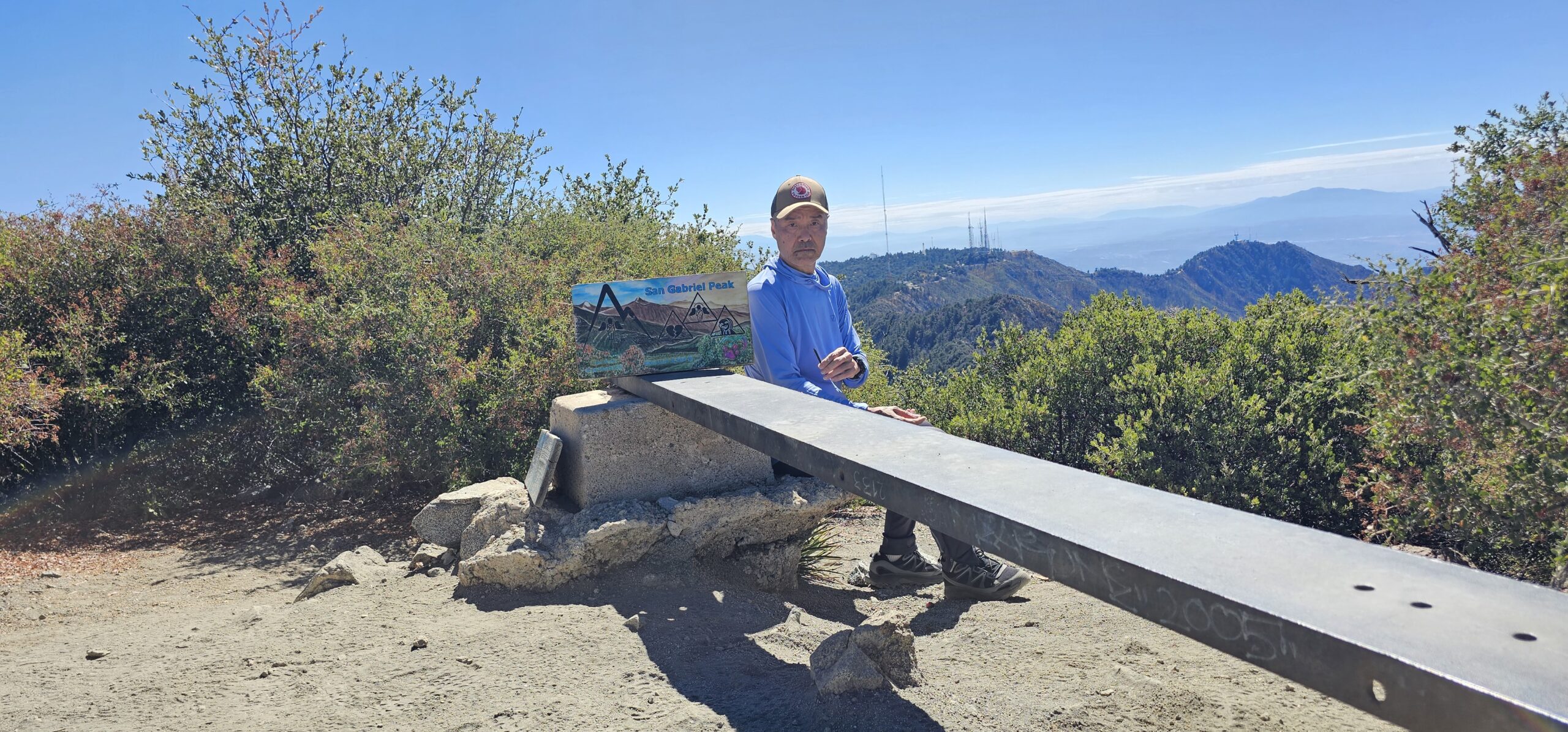
San Gabriel Peak, the high point of this section of the San Gabriel Mountains, has 360 degree view of the surrounding peaks.

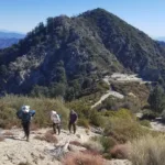
Route 1 is described here as a road walk but it is much prettier and shorter to take the North San Gabriel Peak Trail. This trail was built in the 1980s and still maintained by the Jet Propulsion Laboratory Trailbuilders under the direction of engineer Bill Reilly, and is often called by that name. This trail cuts left up the ridge near where the 2N52 road starts and winds up a beautiful forested ridge to the intersection with the same road near the top. This route offers access to adjacent peaks like Mount Disappointment and Mount Deception.

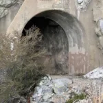
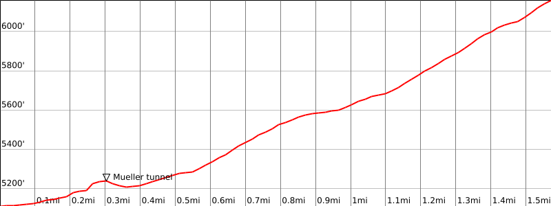
Route 2 starts from Eaton Saddle via Mueller Tunnel and is the shortest and easiest way to the peak. It also offers easy access to Mount Markham and Mount Lowe, even Inspiration Point and Echo Mountain, or continue all the way down to Pasadena with a car shuttle.

There are many ways to climb 2, 3, 4 or 5 peaks in combination for a pleasant day of hiking in this area.

Maps generated from CalTopo.com, reproduced with permission

Route 1- North San Gabriel Peak Trail from Red Box
Elevation Gain
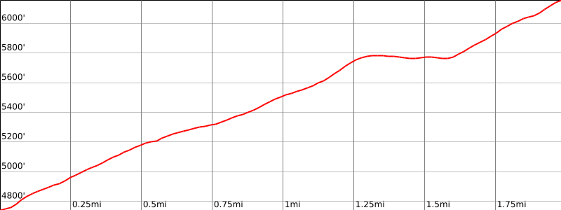
1400′
Navigation Difficulty
Easy
Distance
4 1/2 miles round trip on trail and road
Estimated time
2 hours round trip
Route Rating
Class 1, easy
Leader Rating Required
“O”, normal conditions

Driving route

From the intersection of I-210 and Angeles Crest Highway (SR 2), drive north on Angeles Crest Highway 9.5 miles to Angeles Forest Highway. Keep straight.
Continue about 4.5 miles to the junction with the Mount Wilson Road at the Red Box Ranger Station. Turn right.
Drive 0.4 mile to a paved road (2N52) on the right. Park here. Do not block the gate.

Hiking route

At the parking area (4760′), the San Gabriel Peak Trail starts just to the left of the gate. Hike up this trail to where it meets a paved road.
Turn left and follow the road to a road fork between San Gabriel Peak and Mount Disappointment (5800′-).
On the southeast side of this flat area, find a trail. Follow it about 200′ to a trail junction.
The right (south and downhill) fork leads to Markham Saddle. Go straight (east) and follow the trail up to the summit.

Route Notes

Note: It is also possible to follow paved road 2N52 from the parking area to the road fork between Mount Disappointment and San Gabriel Peak.

Road Type

Paved

Google Maps Link to Trailhead 

Route 2- From Eaton Saddle
Elevation Gain
1000′
Navigation Difficulty
Easy
Distance
4 miles round trip on trail and road
Estimated time
2 hours round trip
Route Rating
Class 1, easy
Leader Rating Required
“O”, normal conditions

Driving route

From the intersection of I-210 and Angeles Crest Highway (SR 2), drive north on Angeles Crest Highway 9.5 miles to Angeles Forest Highway. Keep straight.
Continue about 4.5 miles to the junction with the Mount Wilson Road at the Red Box Ranger Station. Turn right.
Drive 2.3 miles to Eaton Saddle. Park on the right. Do not block the gate.

Hiking route

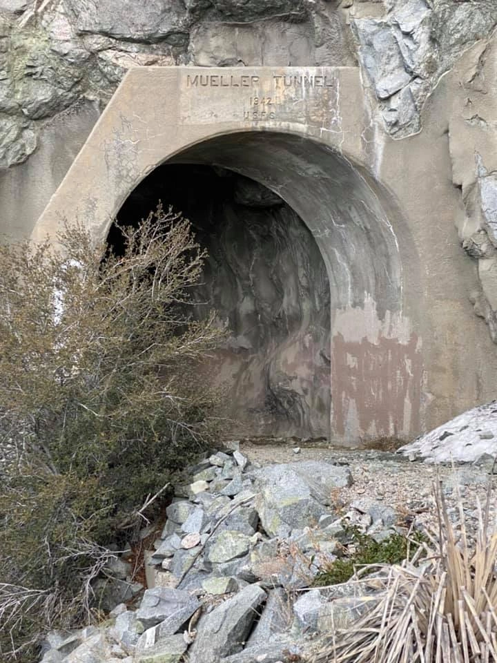
From the parking area (5100′), pass the gate and hike up the road, through a tunnel, about 1/2 mile to Markham Saddle. This is the turnoff for Mount Markham and Mount Lowe.
A trail starts on the right. Follow this trail up to a trail fork just short of a road between Mount Disappointment and San Gabriel Peak.
Turn right and follow the trail up to the summit.

Route Notes

Road Type

Paved

Google Maps Link to Trailhead 

Additional Peak Information

Note: This peak can be combined with several other peaks in the area in one day hike.

Historical notes: When viewed from the Los Angeles Basin, this angular peak behind Mount Lowe appears to dominate the front range. In early Mount Lowe literature, it was called “Observatory Peak”, as Professor Lowe planned to extend his mountain railway to the summit and build there “the largest and best equipped astronomical observatory in the world.” The observatory was never built (Professor Lowe ran out of money).
In 1894, the USGS used the summit as a triangulation point for mapping the range. As it appeared to be the highest point in the front range of the San Gabriels (more recent surveys show Strawberry Peak to be 3′ higher), the government surveyors gave it the name “San Gabriel Peak”.
In 1928 a fire lookout tower was built on the summit. It was removed in 1937 because observation was too often obscured by urban-generated haze. The name is derived from San Gabriel Archangel, the fourth of the Franciscan missions, founded in 1771.
John Backus, the former Chairman of the Mountain Records Committee of the HPS, a 6-time list finisher and the first person to lead all the peaks, was eulogized on this peak in December 1988 in a ceremony attended by 175 members and former members of the HPS.

Nearby Peaks

Backus Peak
Owens Peak
Black Mountain #5
Morris Peak

External Links

mountain 1

Peakbagger.com

Click Here

ranger-tower 1

Nearest ranger station

Click Here

g311

NOAA Forecast

Click Here

worldwide 1

Google Earth

Click Here

Photo Gallery