Peak Name
Elevation
feet
Status
Region
Range
Nearby peaks
Location
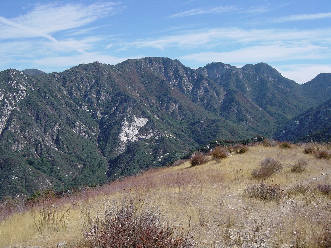
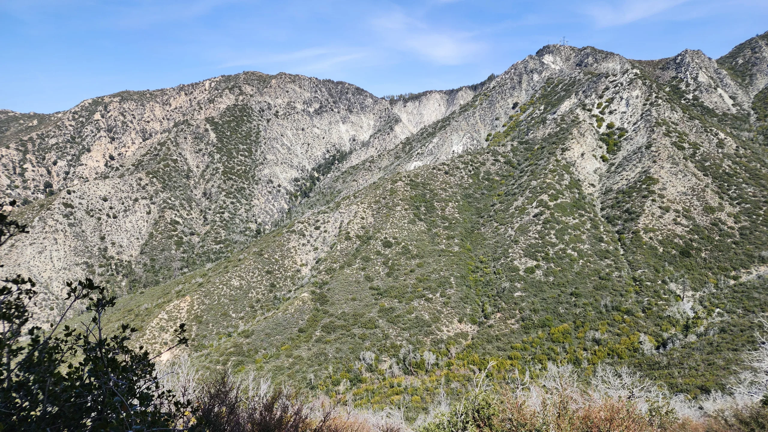
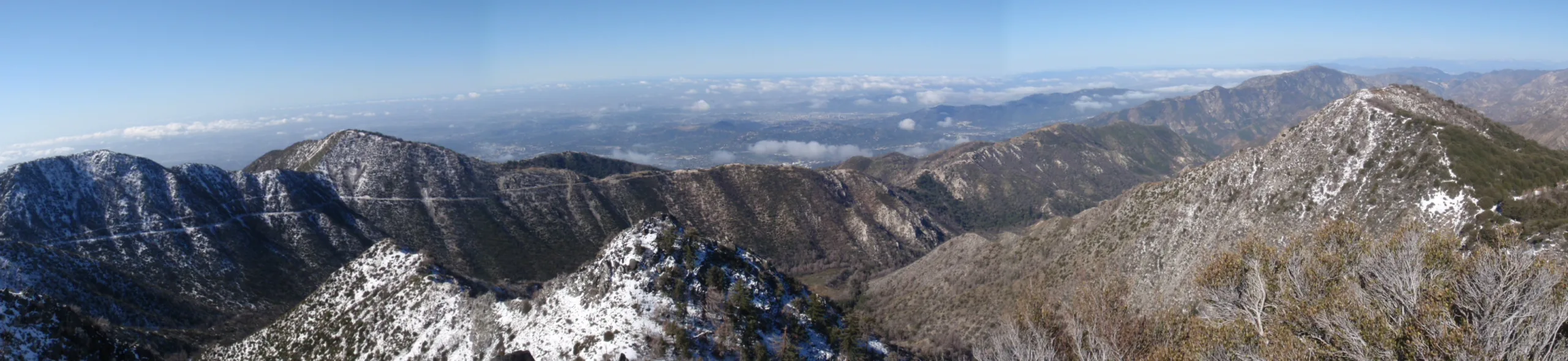
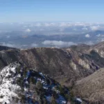
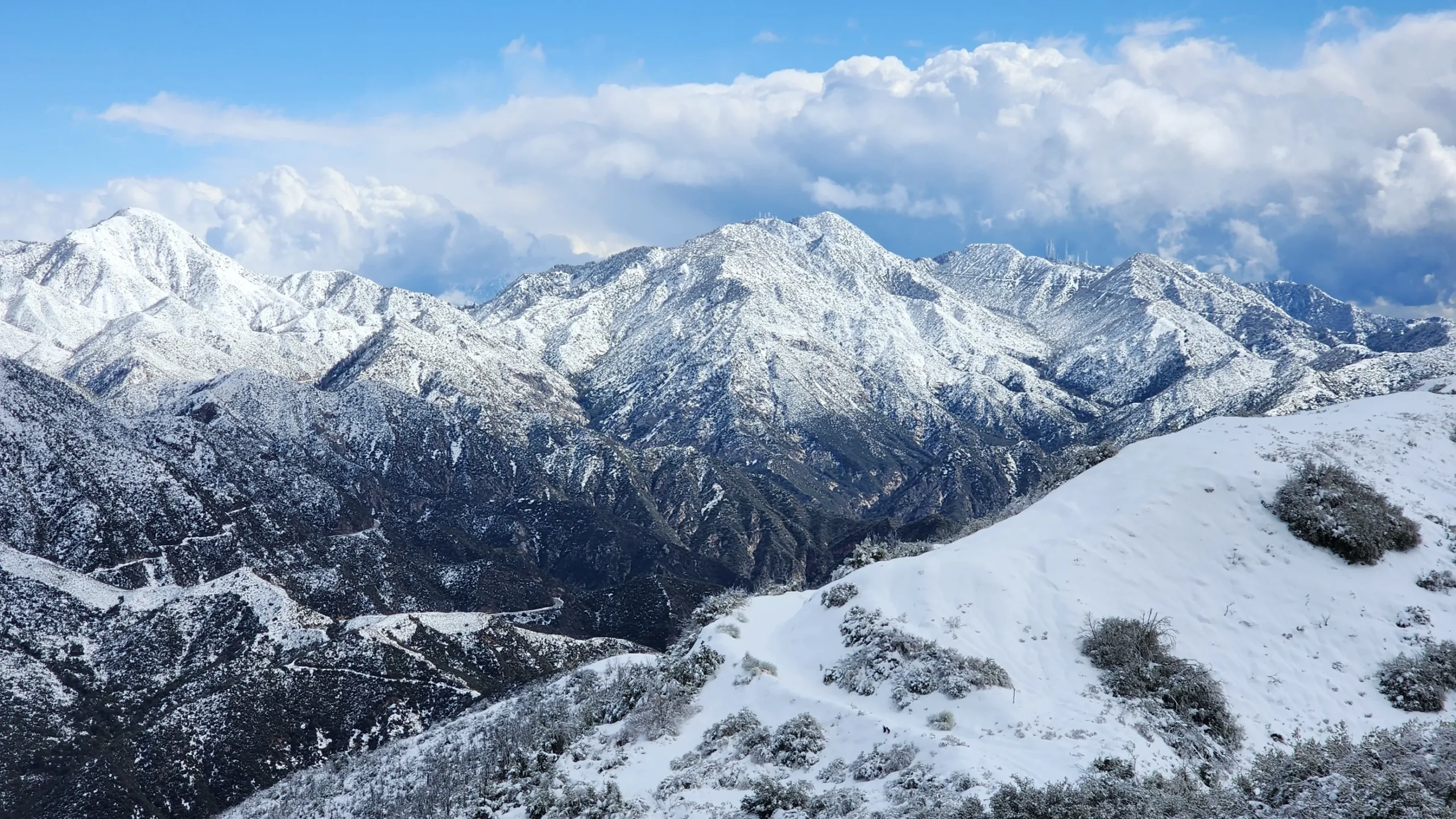
Mount Deception is a great add on for a multi-peak day in the San Gabriel Peak area. This is a very short hike off the fire road to reach the subtle top. The peak does offer a great view down into the valleys south of it. The origin of the name is obscure, but it may have been close enough to Disappointment (itself a deception) to earn the Deception name by the original surveyors or others.
Route 1 follows a paved road to get to the short dirt trail. Route 2 follows a great shaded trail that starts just to the left of the gate on the paved road in Route 1. A 3rd option is to start at Eaton Saddle and follow the fire road and then the trail up and past San Gabriel Peak to reach Disappointment and Deception.
Maps generated from CalTopo.com, reproduced with permission
Driving route
From the intersection of I-210 and Angeles Crest Highway (SR 2), drive north on Angeles Crest Highway 9.5 miles to Angeles Forest Highway. Keep straight.
Continue about 4.5 miles to the junction with the Mount Wilson Road at the Red Box Ranger Station. Turn right.
Drive 0.4 mile to a paved road (2N52) on the right. Park here. Do not block the gate.
Hiking route
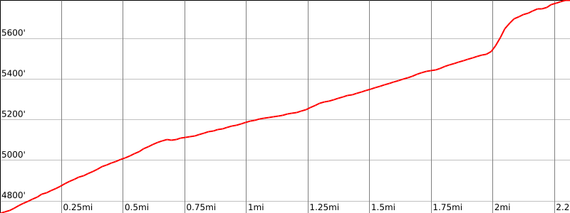
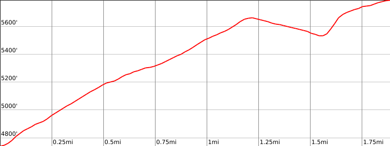
From the parking area (4760′), hike up 2N52 about 2 miles to a saddle at 5550′.
Leave the road and hike west up a steep firebreak and ridge to the summit.
Note: The dirt road on the ridge divides and recombines several times. If you prefer the lower angle option, stay left (north) for the first three and right (south) for the last two. A variation to this route (also shown on the maps) is to leave the PCT after 1.6 miles and short cut up to the ridgeline on a steep use trail. The statistics for this variation are 9.4 miles round trip with 2028′ gain (1956′ out plus 112′ on return).
Driving route
See the Mount Disappointment guide or the San Gabriel Peak guide.
Hiking route
From the trail junction between Mount Disappointment and San Gabriel Peak (5800′-), walk northwest down the paved road less then 1/2 mile to saddle 5550′.
Leave the road and hike west up a steep firebreak and ridge to the summit.
Route Notes
Note: If you are returning the same way, there is about 400′ gain back to the trail junction.


You must be logged in to upload images.