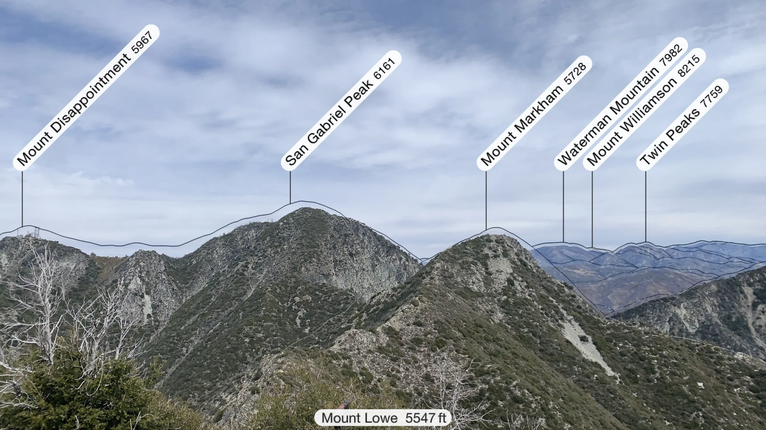
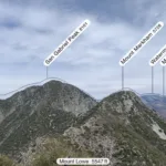
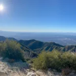
View from Mount Lowe with labeled area peaks, photo by Sharon Moore
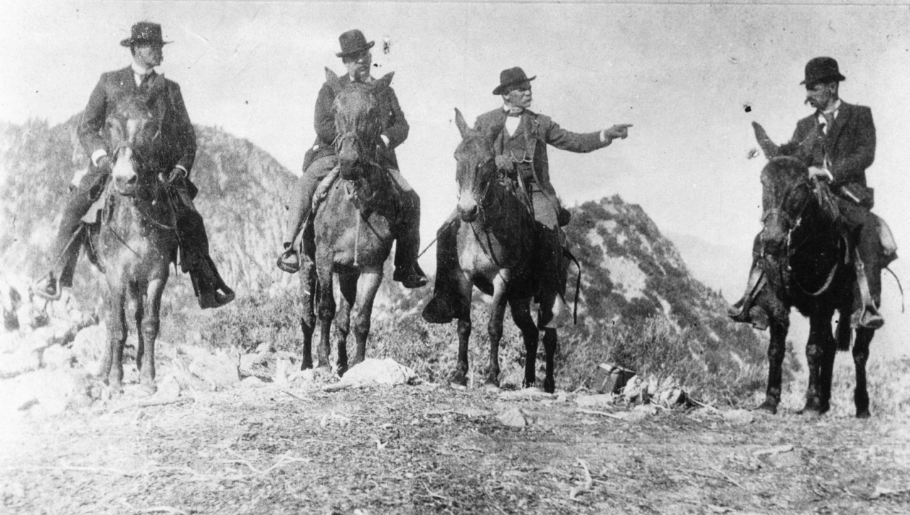
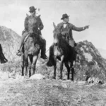
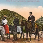
1893 Photo on Top of Mount Lowe, California Governor H.H. Markham on Left, Professor Thadeus S.C. Lowe Third From Left. Behind, Left San Gabriel Peak, Right Future Mount Markham, photo by Angeles Chapter Sierra Club Archives
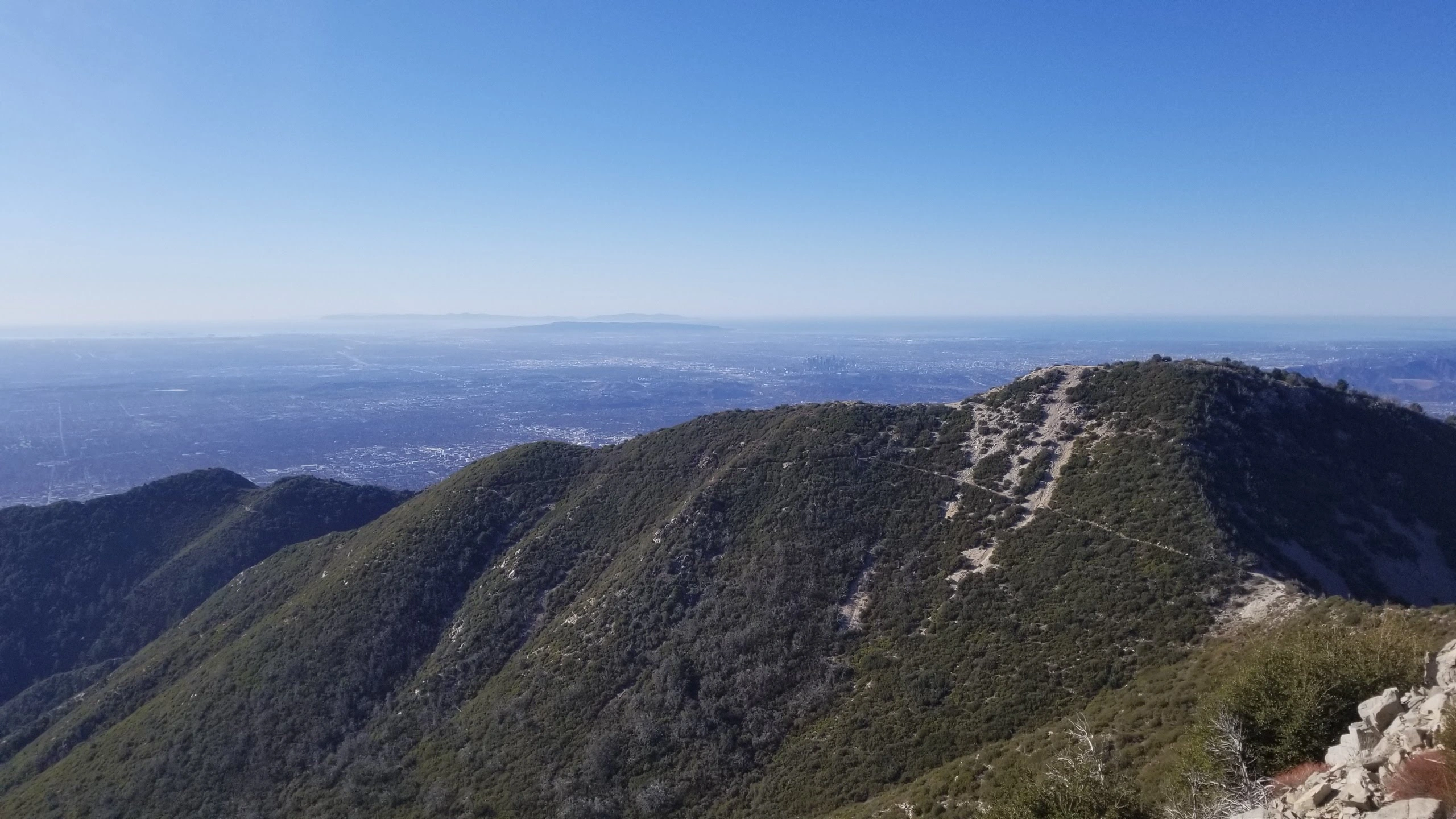
Mount Lowe, taken from Markham, photo by Chris Waldheim
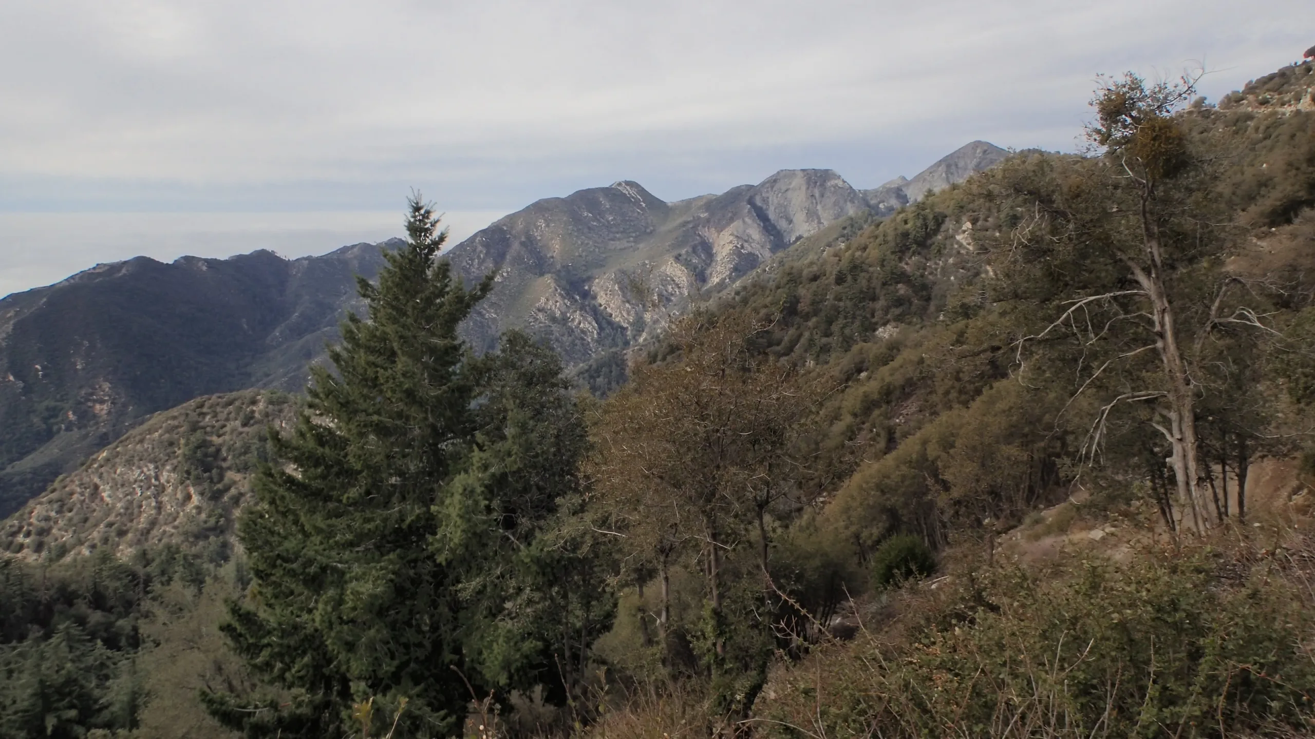
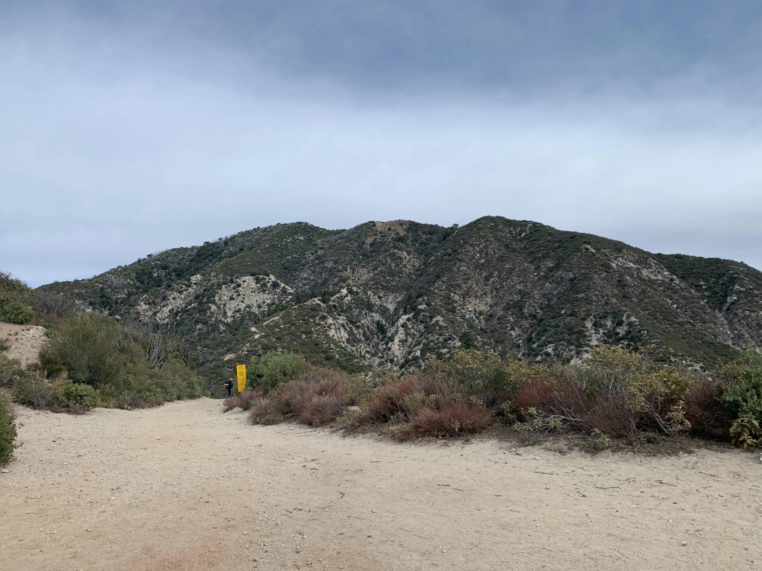
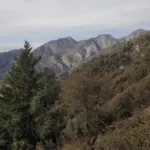
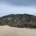
Mount Lowe, taken from Wilson Trail, photo by Chris Waldheim
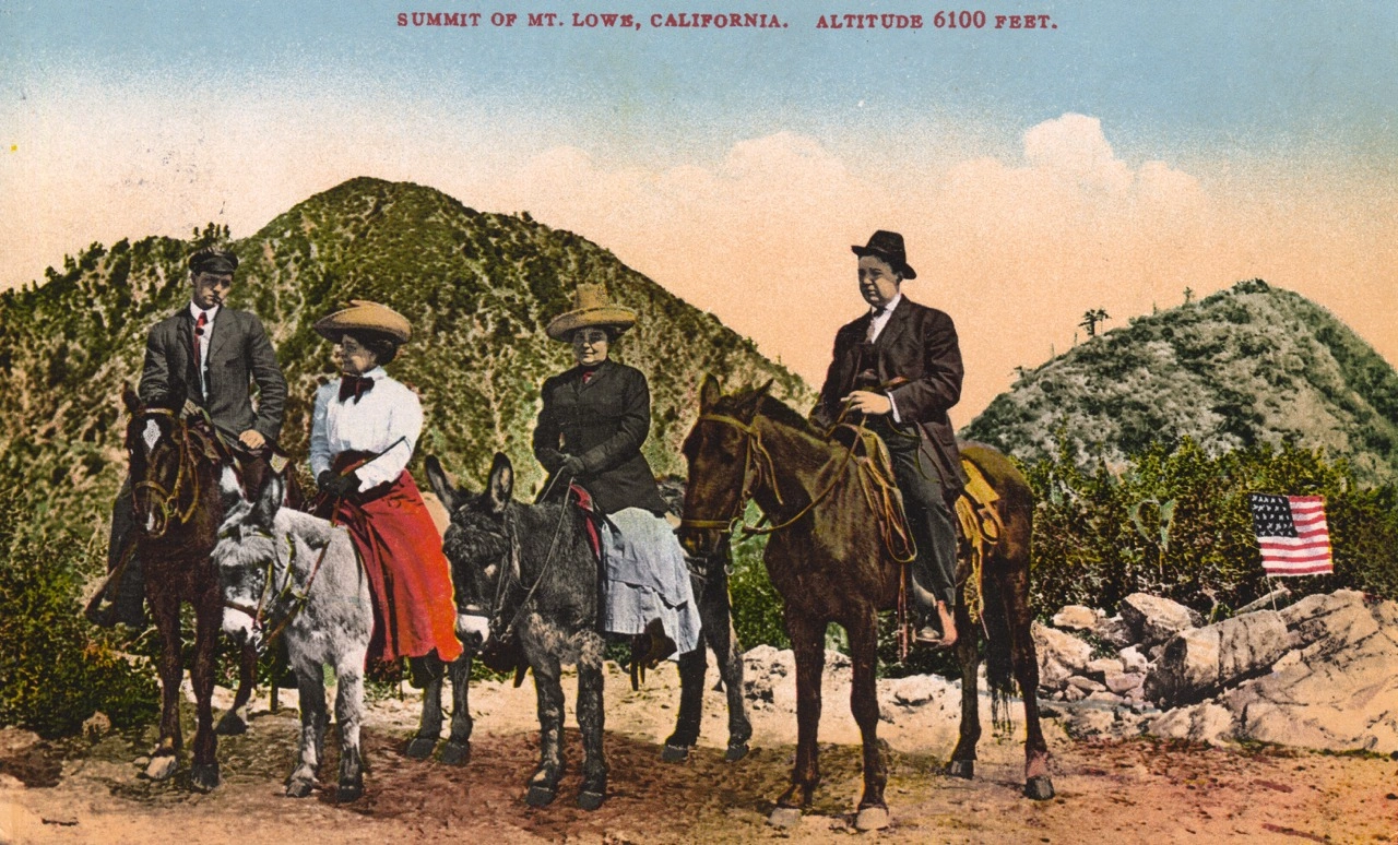
1918 Postcard of Mount Lowe, San Gabriel Peak behind, photo by Angeles Chapter Sierra Club Archives
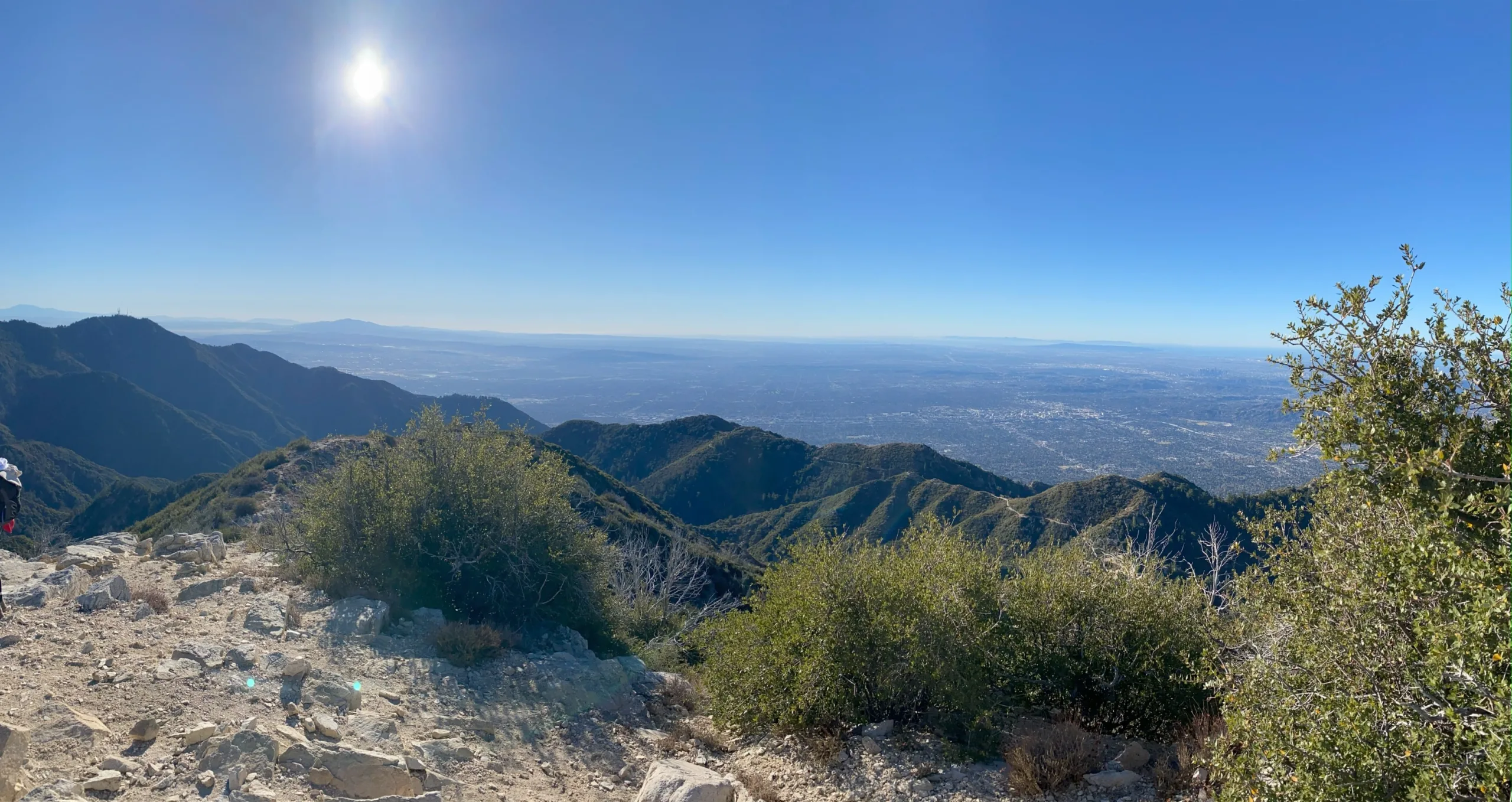
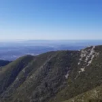
Mount Lowe Summit, photo by Chris Waldheim
Mount Lowe, taken from Inspiration Point, photo by Sharon Moore
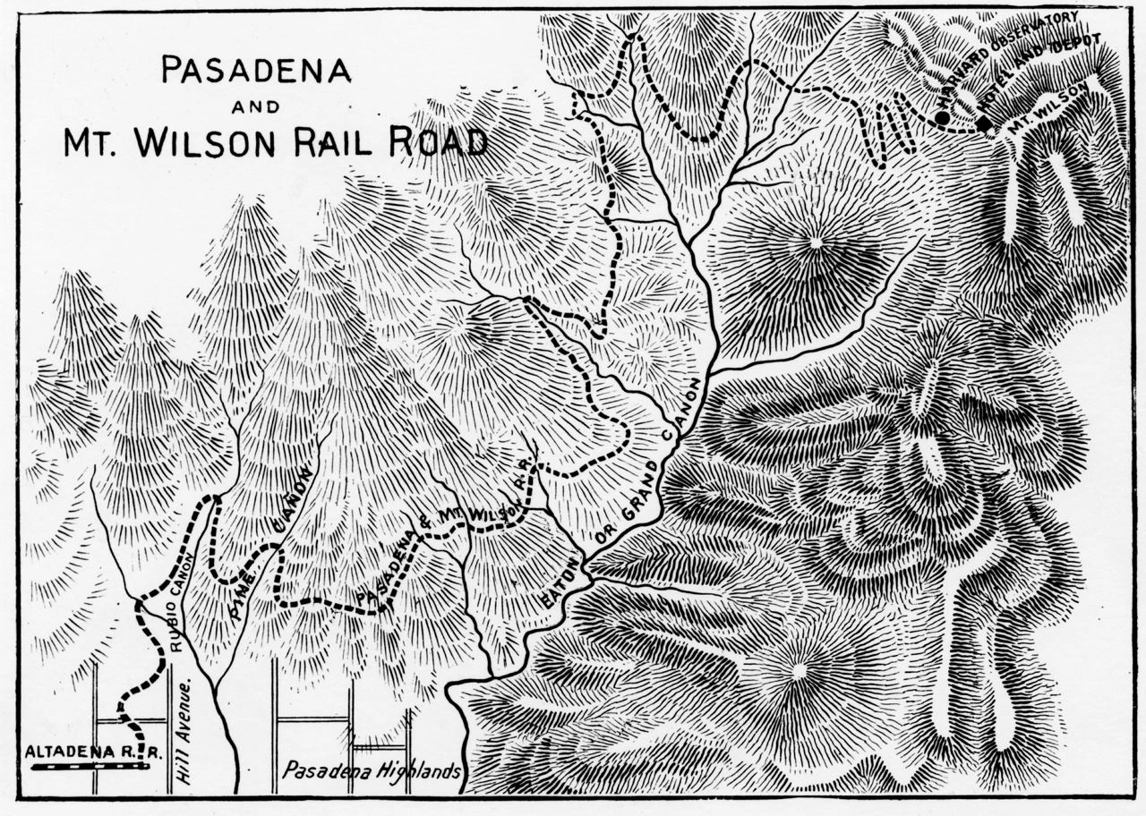
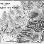
Original proposed route of the Mount Lowe Railway, showing extension to the summit of Lowe, which was never built, photo by Angeles Chapter Sierra Club Archives


Peakbagger.com

Nearest ranger station

NOAA Forecast

Google Earth


