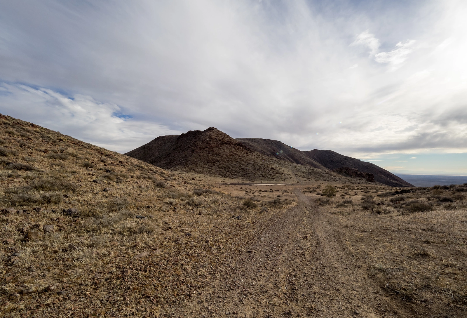
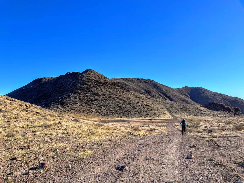
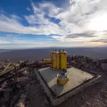
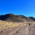
Red Mountain, photo by Kathy Wing
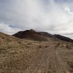
Red Mountain, taken from Black #6, photo by Sharon Moore
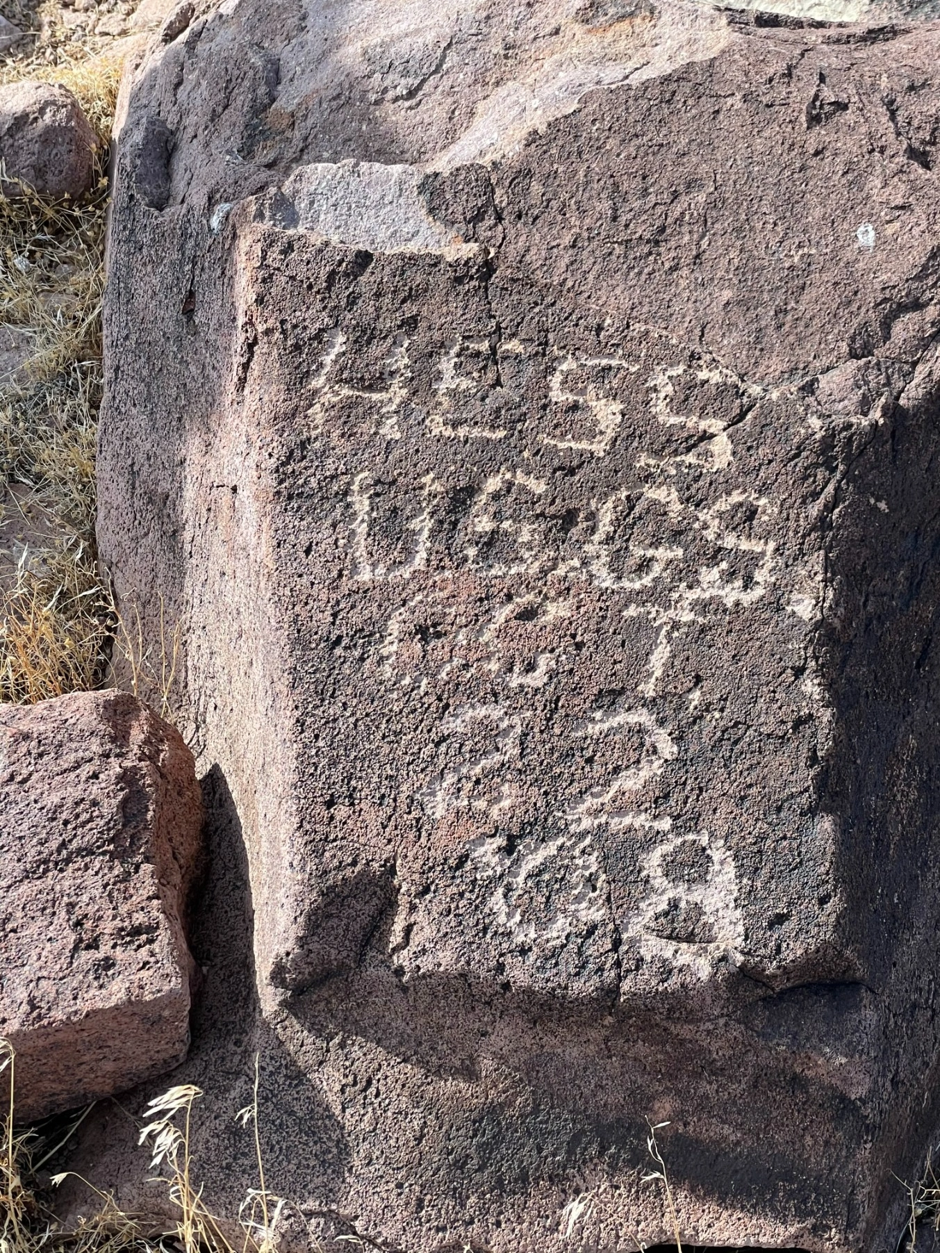
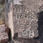
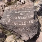
Red Mountain summit graffiti, left by original USGS survey team, photo by Jim Hagar
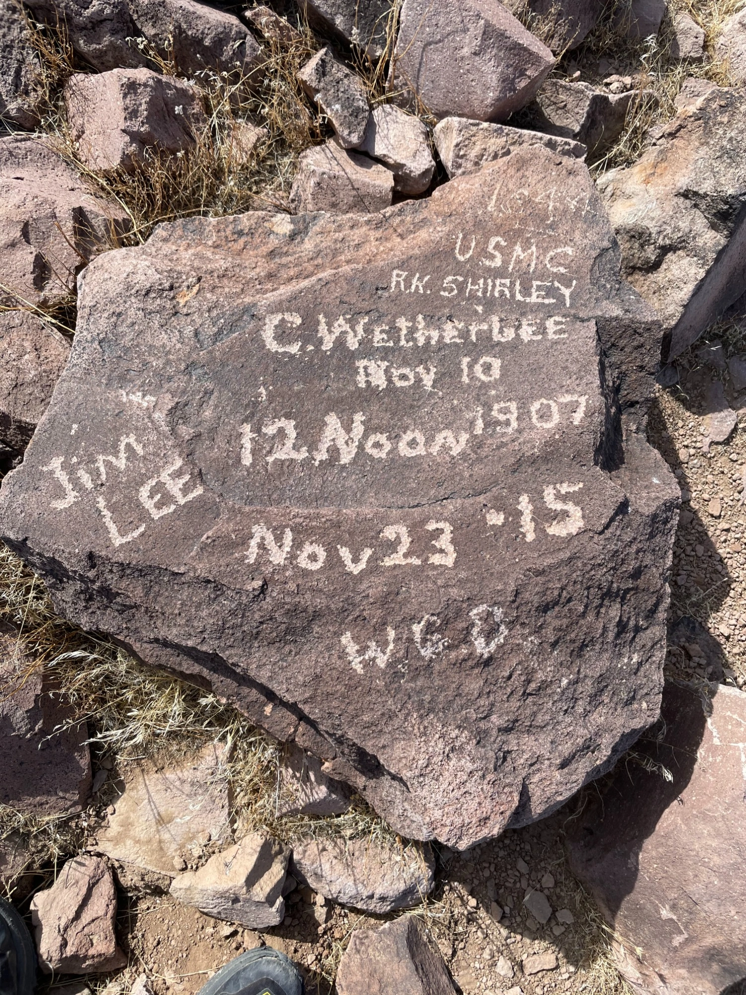
Red Mountain summit graffiti, left by original USGS survey team, photo by Jim Hagar

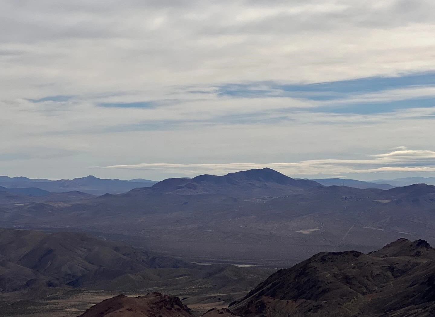
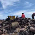
Red Mountain summit, photo by Sharon Moore
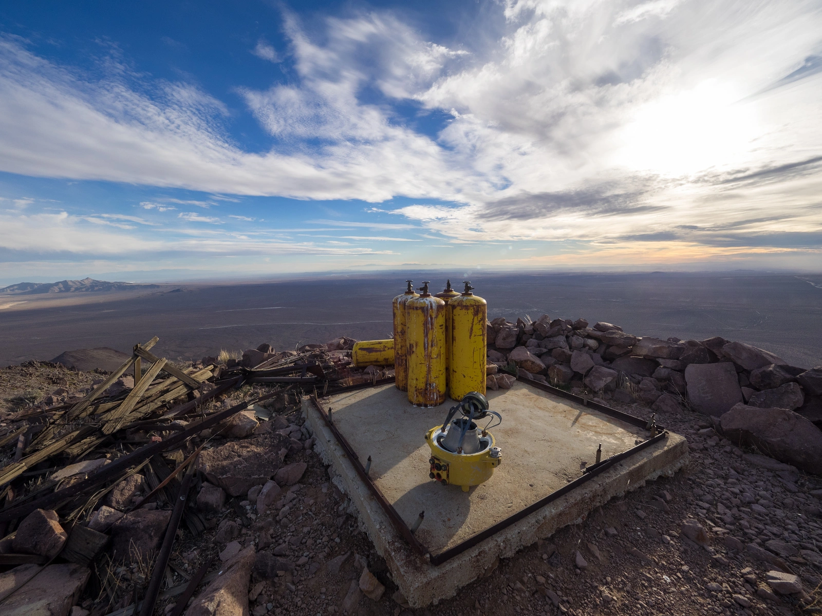
Red Mountain summit, photo by Kathy Wing
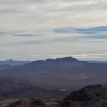
Red Mountain, photo by Sunny Yi
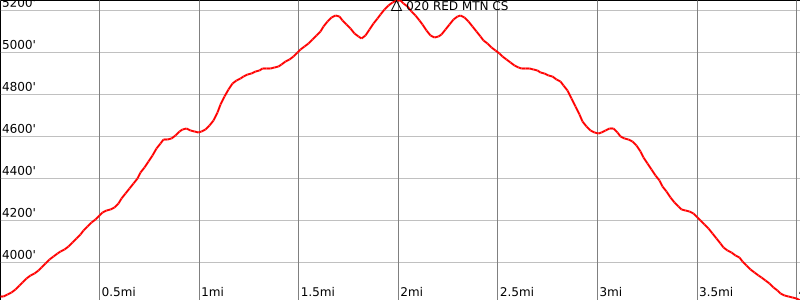

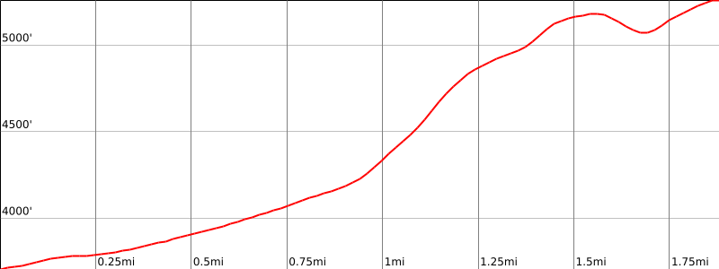


Peakbagger.com

Nearest ranger station

NOAA Forecast

Google Earth


