
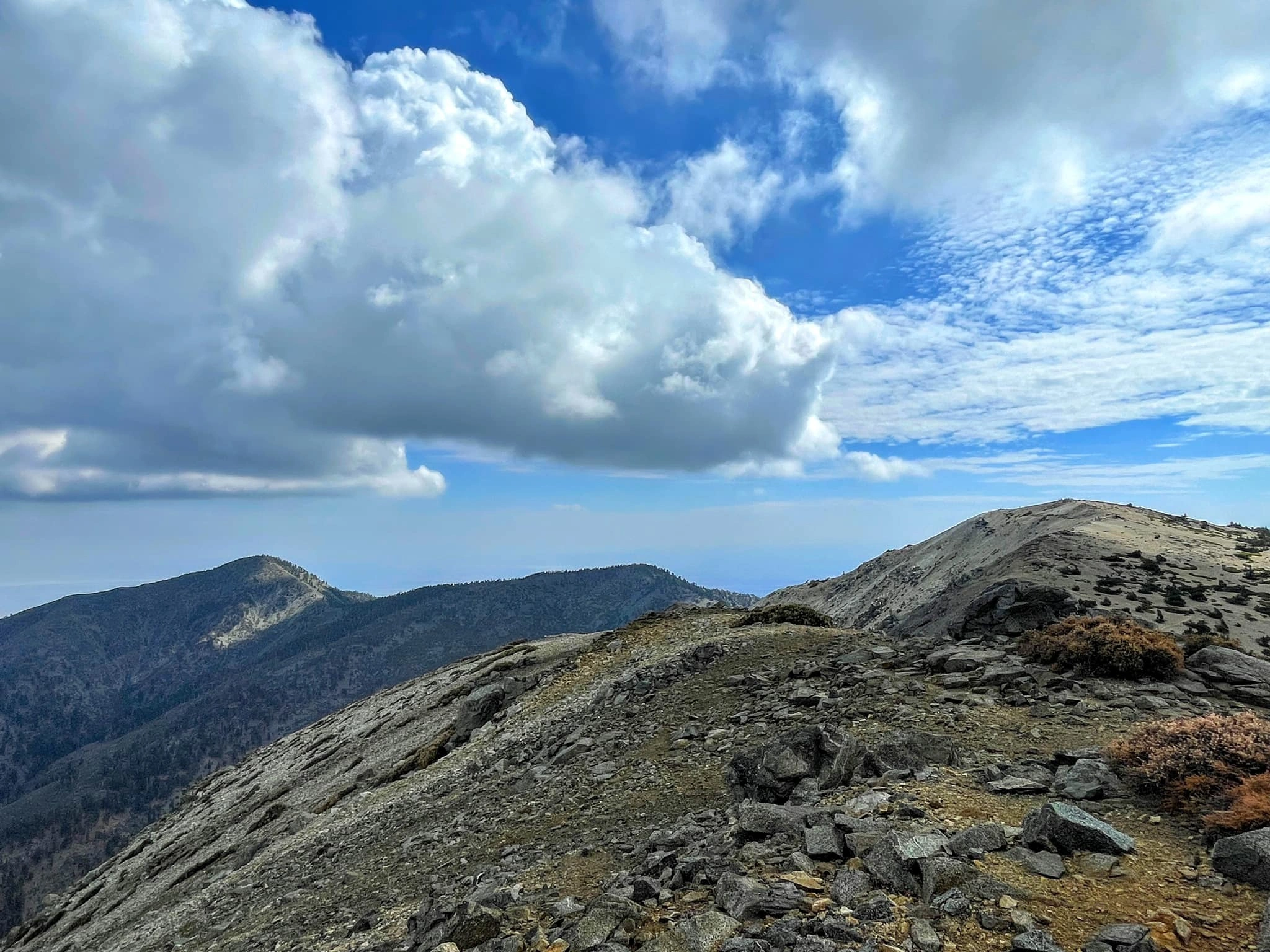
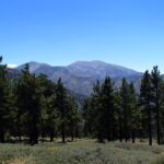
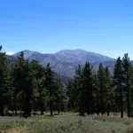
Pine Mountain #1 and Baldy, photo by Sharon Moore
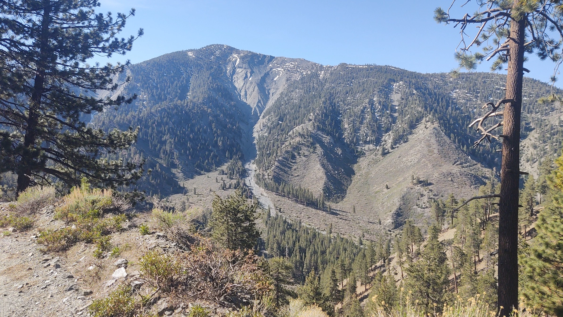
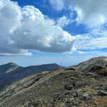
Pine Dawson Baldy, taken from West Baldy, photo by Sunny Yi
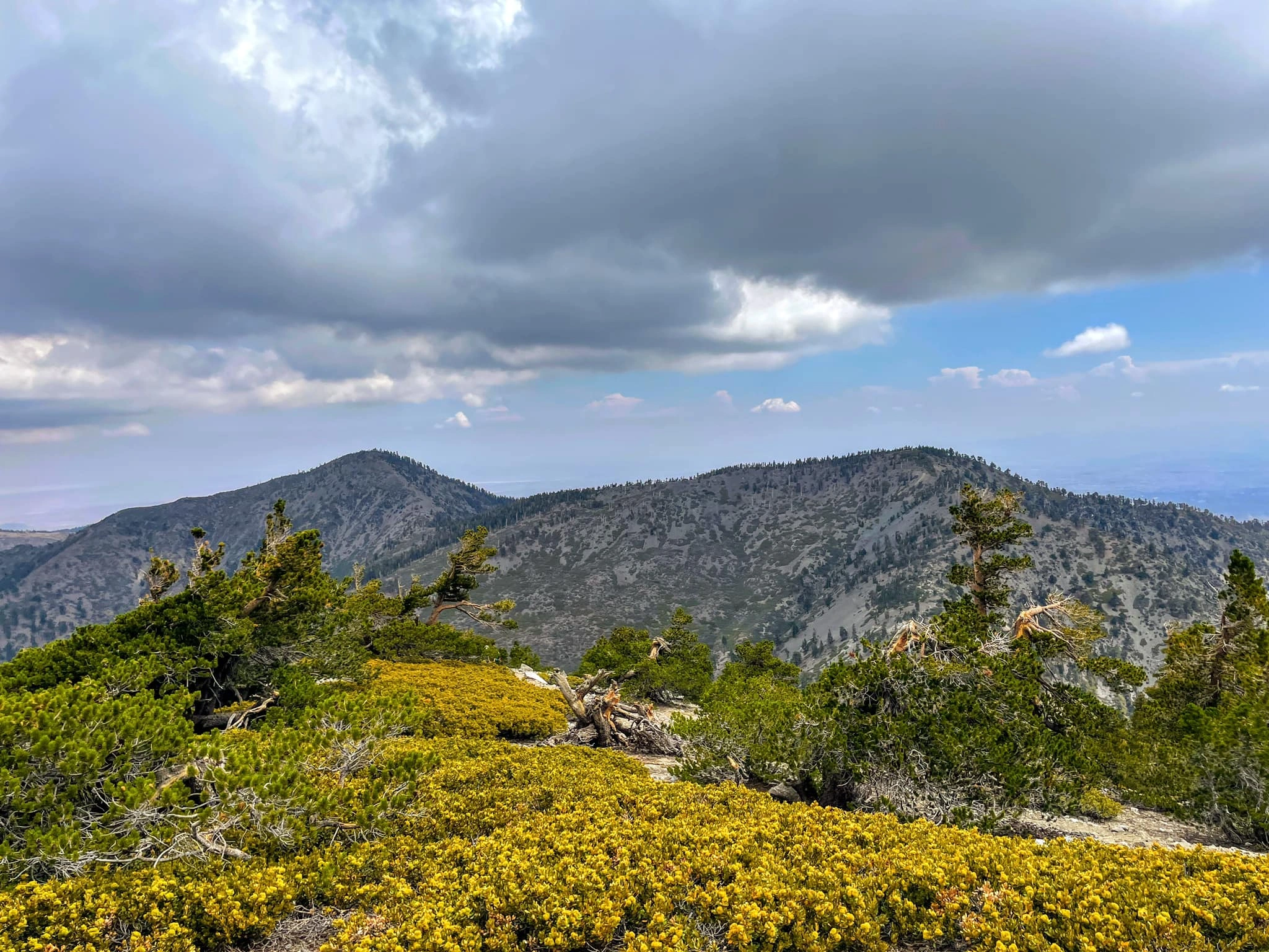
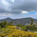
Pine Dawson, taken from Baldy, photo by Sunny Yi
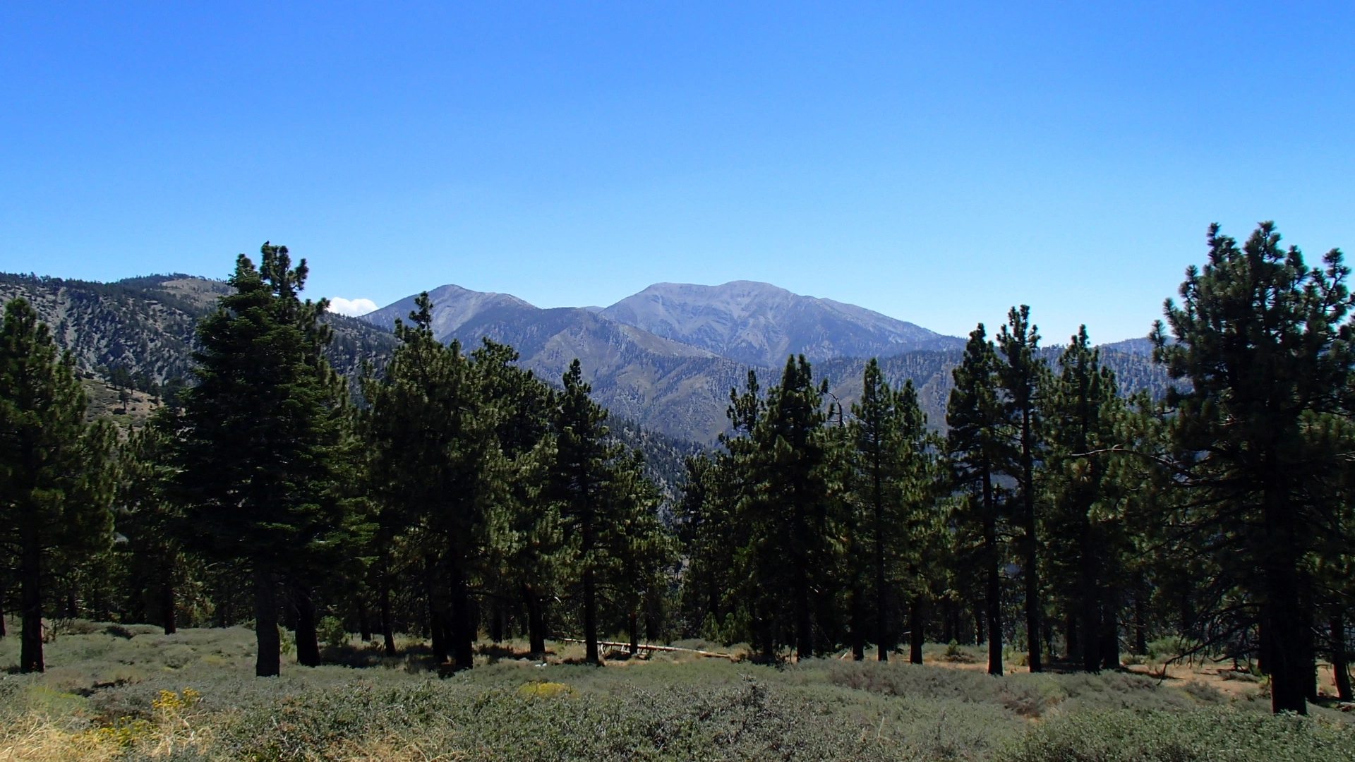
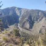
Pine #1, photo by Steve Russell
Pine Mountain #1 and Baldy, photo by Sharon Moore
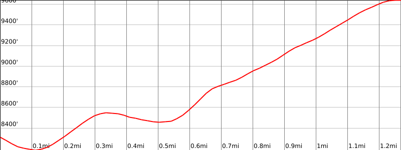

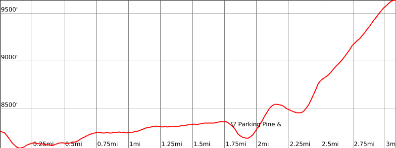

Peakbagger.com

Nearest ranger station

NOAA Forecast

Google Earth


