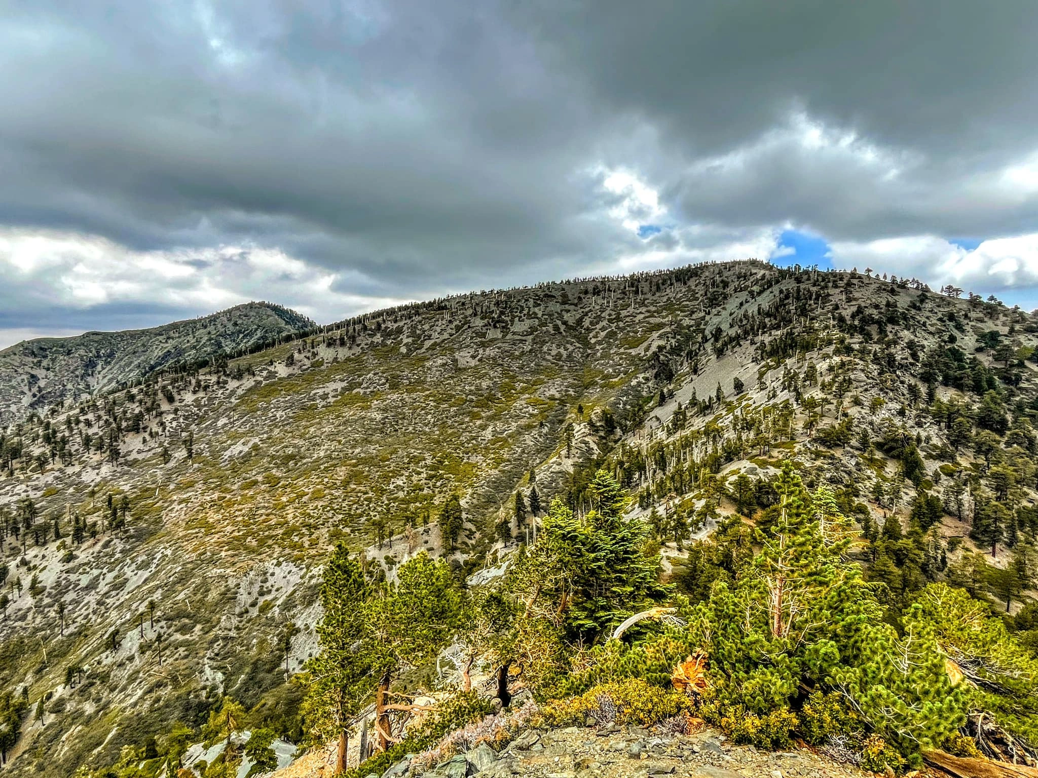
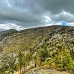
Dawson Peak, taken from Baldy, photo by Sunny Yi
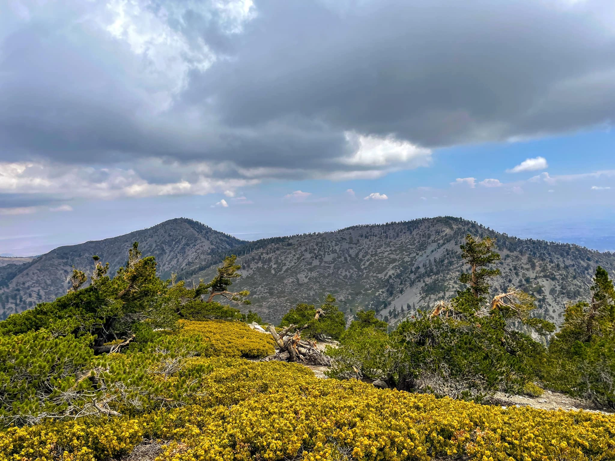
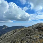
Dawson, photo by Steve Russell
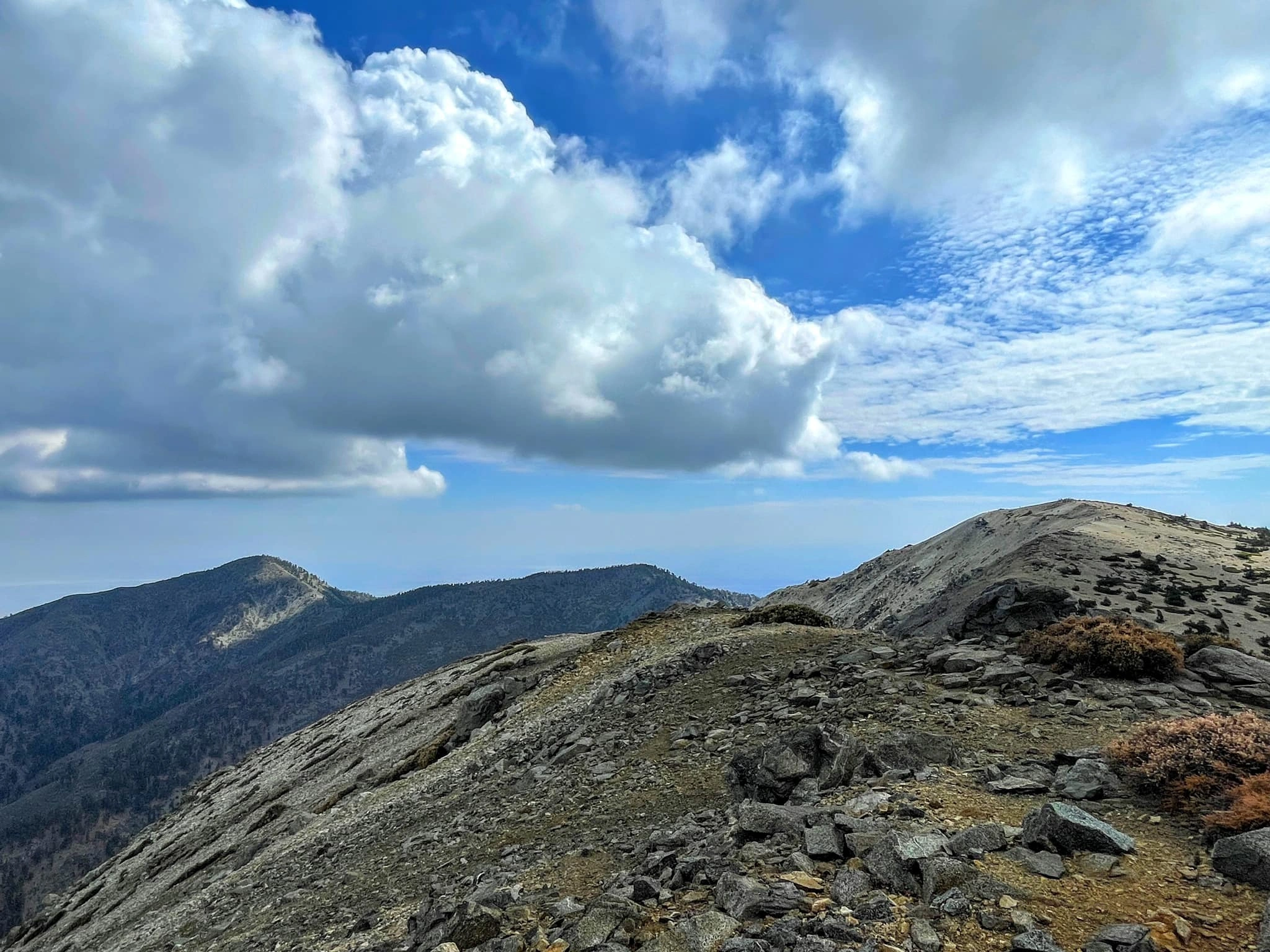
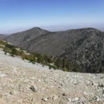
Pine Dawson Baldy, taken from West Baldy, photo by Sunny Yi
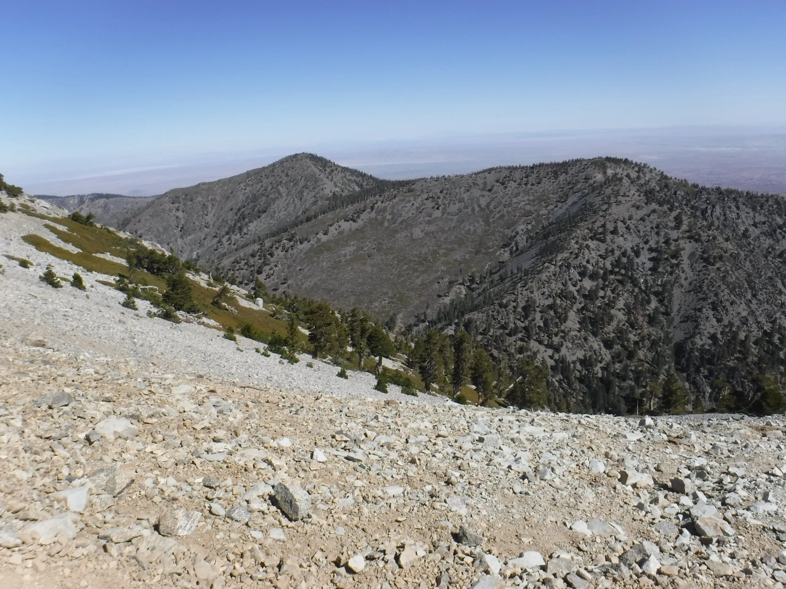
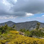
Pine Dawson, taken from Baldy, photo by Sunny Yi


Peakbagger.com

Nearest ranger station

NOAA Forecast

Google Earth


