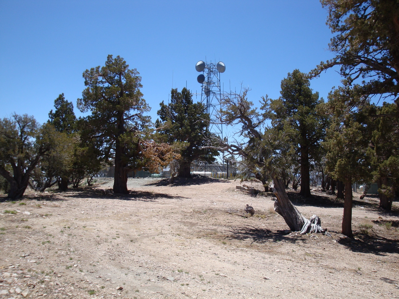
Towers on Onyx Peak #1, photo by Kathy Wing
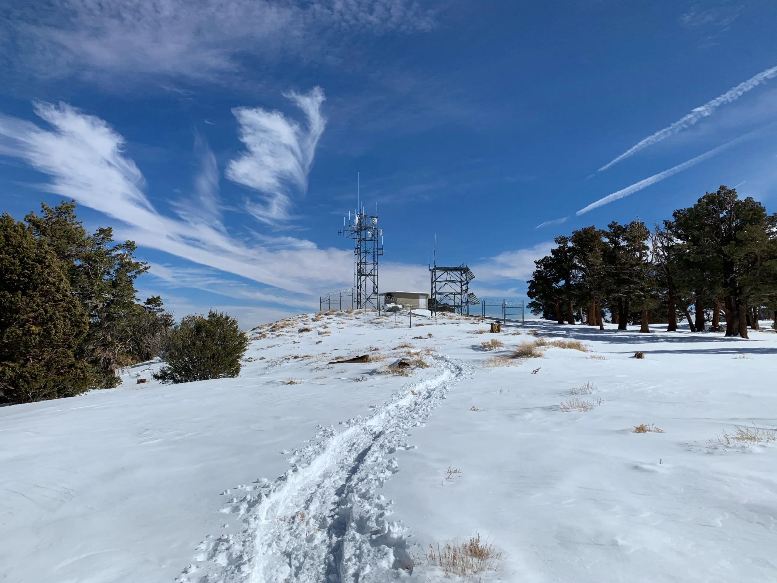
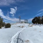
Onyx1 wSnowshoeTrack, photo by Sharon Moore
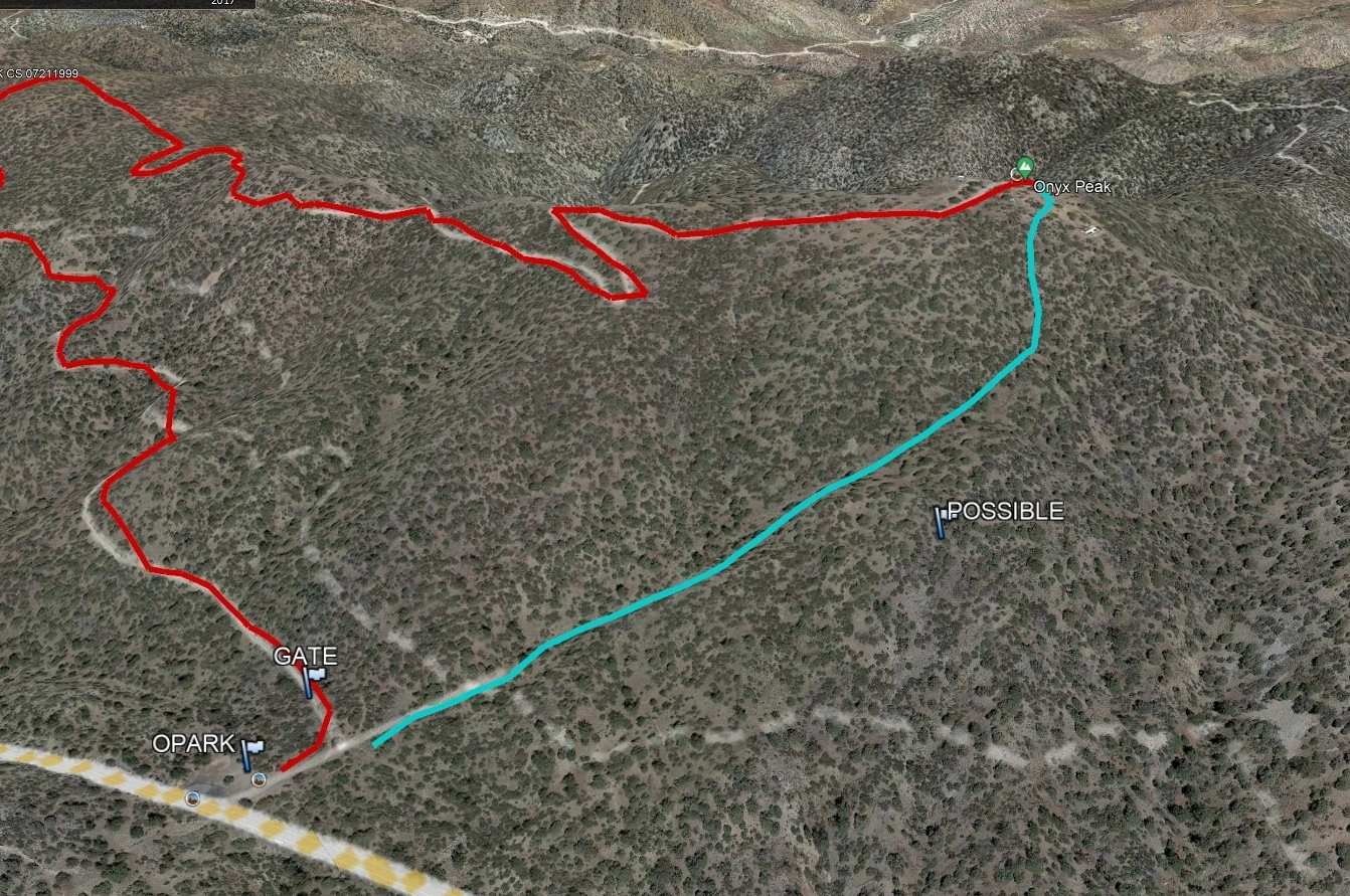
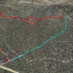
Onyx Peak #1, photo by Google Earth


Peakbagger.com

Nearest ranger station

NOAA Forecast

Google Earth


