Peak Name
Elevation
feet
Status
Region
Range
Nearby peaks
Location
Mount Pinos and its neighbors are an ever-popular year around destination for hikers, and a good place to beat summer heat, with interesting history, geology, pretty pine forests, and outstanding panoramas. Mt Pinos is the high point of Ventura County and was the center of the world for the indigenous Chumash. There are multiple campgrounds nearby and the Sheep Camp campsite near Grouse for a possible overnight backpack.
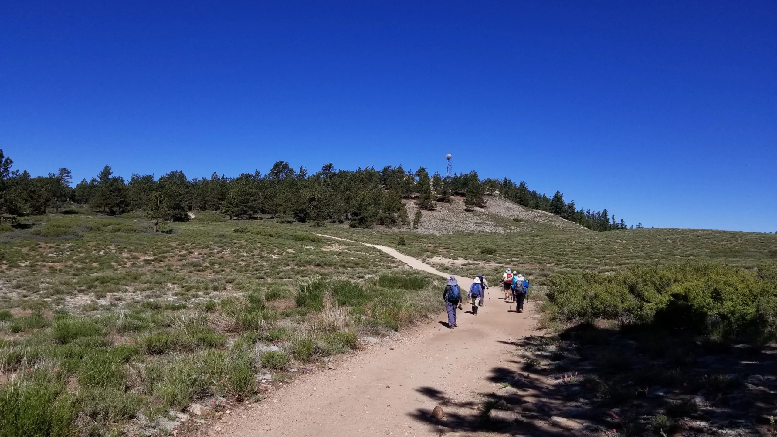
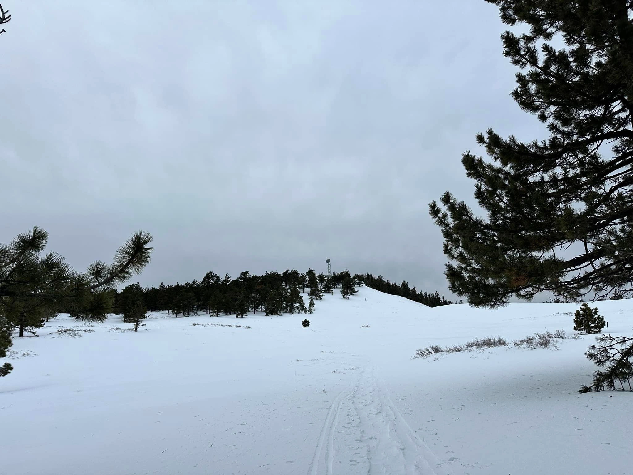
Route 1 is a short and easy hike suitable for anyone and makes an excellent winter snowshoe. The trail then continues on easy forested trails to Grouse and Sawmill, and for the more ambitious, descends then rises again to Cerro Noroeste. Route 2 is a longer hike along the pretty forested McGill Trail. All four peaks can be hiked east to west as a traverse to Cerro Noroeste with a car shuttle (6.5 miles with 1600′ gain) or out and back (13 miles, 3400′ gain).
Maps generated from CalTopo.com, reproduced with permission
Driving route
Drive north on I-5 to the Frazier Park exit. Turn left (west). Note your odometer and go as follows:
At 7.2 miles, Lake of the Woods. Here, the Lockwood Valley Road forks left and the Cuddy Valley Road goes straight. Keep straight.
At 12.4 miles, junction with Mount Pinos Road (straight) and the Mil Potrero Road (right). Go straight on the Mount Pinos Road.
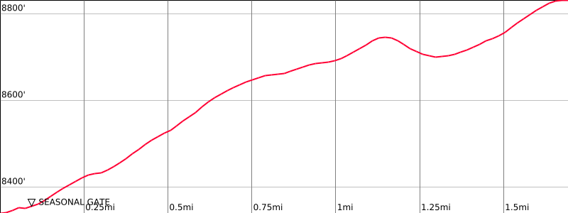
At 22.5 miles, a large paved parking area and a dirt road with a gate on the west (left) side. Park here.
If the gate is open (normally it is not), high clearance vehicles can continue driving 1.5 miles farther to the summit of Mount Pinos. If the gate is open, Mount Pinos is essentially a drive up peak.
Hiking route
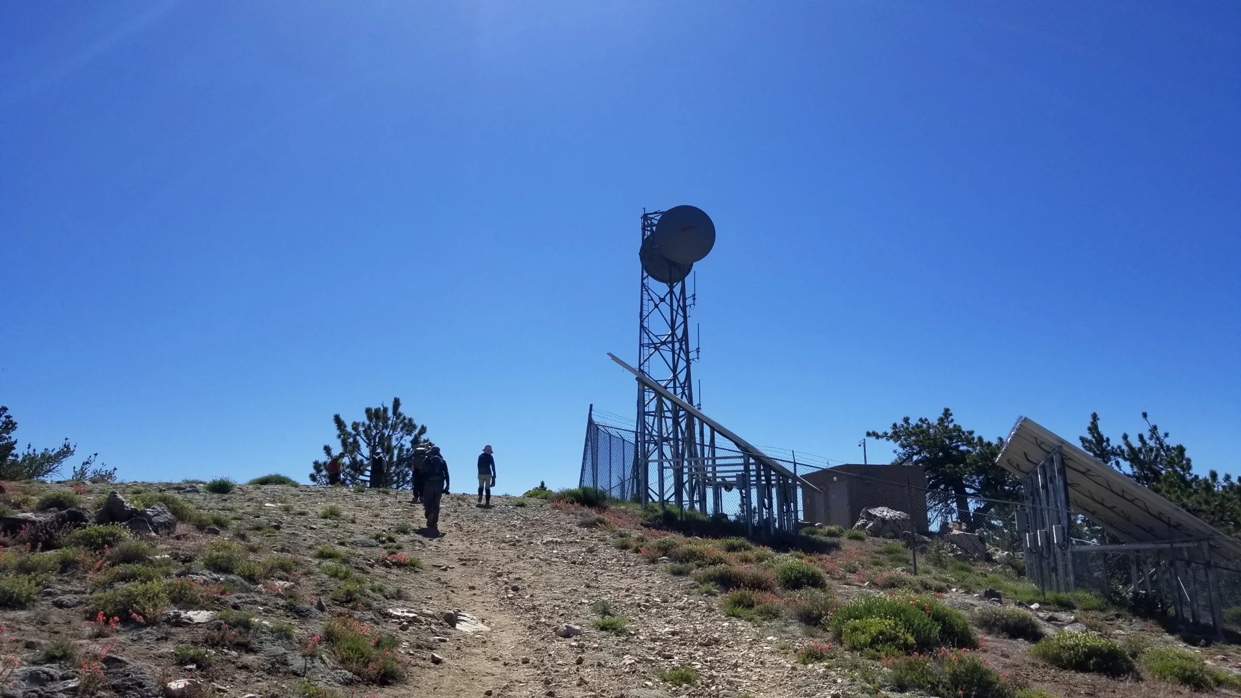
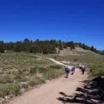
Hike up the dirt road from the parking lot (8340′) to the summit of Mount Pinos (a large electronic site). The register is normally atop a rock pile just southeast of the radio facility. It may be found elsewhere in the summit area.
Driving route
Drive north on I-5 to the Frazier Park exit. Turn left (west). Note your odometer and go as follows:
At 7.2 miles the Lockwood Valley Road forks left and the Cuddy Valley Road goes straight. Keep straight.
At 12.4 miles, junction with Mil Potero Road. Keep straight.
At 12.9 miles, McGill Trail on right. Park here.
Hiking route
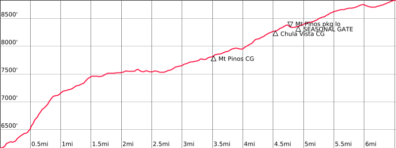
From the trailhead (6100′), hike up the shady McGill trail through a pine forest.
After 3.1 miles, a nature trail enters on the left. Keep straight.
After 3.3 miles, you’ll reach a major trail junction (by some red “CAUTION” markers). The left fork goes to the McGill Campground. Turn right.
After 3.5 miles, you’ll reach the paved Mt. Pinos Road. Turn right.
Walk about 50 yards up the road to the Southridge Trail on the left.
Follow the Southridge Trail for about 1.3 miles to the Mount Pinos Campground.
Hike up the driveway until once again you meet the Mt. Pinos Road. Turn left.
Walk about 200 yards on the Mt. Pinos Road to a dirt road on the right. Turn right.
Follow this dirt road towards the Nordic Base Ski Center, taking the right fork after about ¼ miles.
Keep straight as you pass the Chula Vista Campground (about 1.3 miles after leaving pavement.)
The Nordic Base Ski Center is about 0.2 mile beyond the Chula Vista Campground.
Once at the Nordic Base, cross the parking lot and go west to another dirt road. (This is the parking area for Route 1.) Turn right.
Follow this dirt road for about 0.1 mile past a gate, and turn left almost immediately at a road fork.
Stay on this dirt road (ignoring all other minor routes) until in about another 1.4 miles you reach the summit which is adjacent to some solar cells and tall radio equipment towers.
Route Notes
Additional Peak Information
Alternate routes: Mount Pinos, Sawmill Mountain, Grouse Mountain, and Cerro Noroeste (Mt. Abel) are often combined as a car shuttle trip (25 miles driving between trailheads in each direction). By reversing the climbing instructions, these peaks can be done from west to east.
Notes: “Pinos” is the Spanish word for “pines” and should be pronounced like the word “pinyon”.
Mount Pinos is the high point of Ventura County.
A fine view can be found by walking 4 minutes west to an overlook and the Vincent Tumamait trailhead.
The McGill trail is very popular with mountain bikers. On weekends, many mountain bikes ride down the trail and hikers need to be alert for cyclists who are rounding the trail bends.


You must be logged in to upload images.